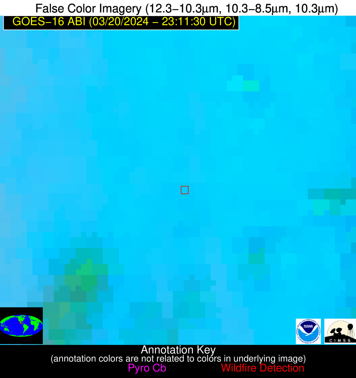
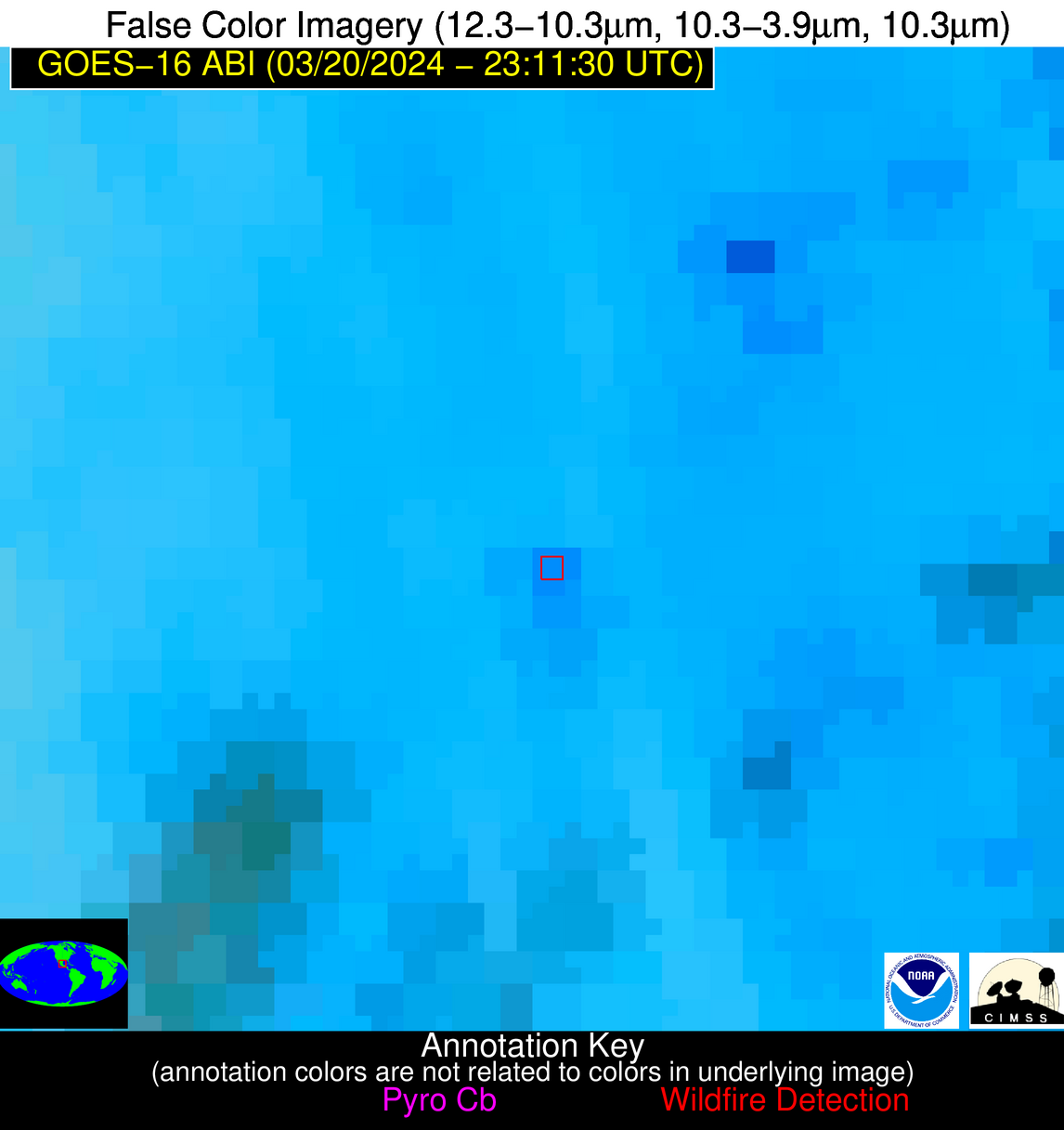
Wildfire Alert Report
| Date: | 2024-03-20 |
|---|---|
| Time: | 23:11:15 |
| Production Date and Time: | 2024-03-20 23:20:18 UTC |
| Primary Instrument: | GOES-16 ABI |
| Wmo Spacecraft Id: | 152 |
| Location/orbit: | GEO |
| L1 File: | OR_ABI-L1b-RadC-M6C14_G16_s20240802311152_e20240802313525_c20240802314014.nc |
| L1 File(s) - Temporal | OR_ABI-L1b-RadC-M6C14_G16_s20240802306152_e20240802308525_c20240802308595.nc |
| Number Of Thermal Anomaly Alerts: | 8 |
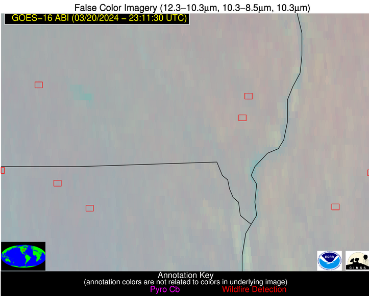
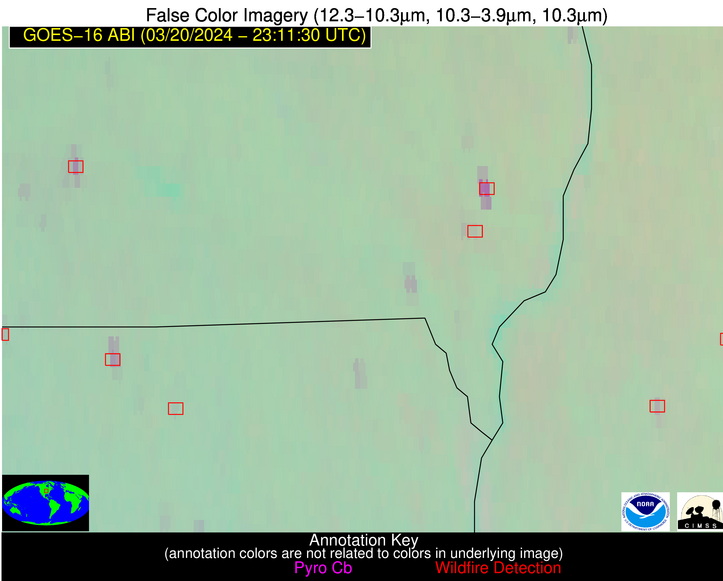
Possible Wildfire
| Basic Information | |
|---|---|
| State/Province(s) | IA |
| Country/Countries | USA |
| County/Locality(s) | Wayne County, IA |
| NWS WFO | Des Moines IA |
| Identification Method | Enhanced Contextual (Clear) |
| Mean Object Date/Time | 2024-03-20 23:11:49UTC |
| Radiative Center (Lat, Lon): | 40.890000°, -93.370000° |
| Nearby Counties (meeting alert criteria): |
|
| Total Radiative Power Anomaly | n/a |
| Total Radiative Power | 15.97 MW |
| Map: | |
| Additional Information | |
| Alert Status | New Feature |
| Type of Event | Nominal Risk |
| Event Priority Ranking | 4 |
| Maximum Observed BT (3.9 um) | 287.83 K |
| Observed - Background BT (3.9 um) | 8.86 K |
| BT Anomaly (3.9 um) | 32.27 K |
| Maximum Observed - Clear RTM BT (3.9 um) | 13.93 K |
| Maximum Observed BTD (3.9-10/11/12 um) | 11.89 K |
| Observed - Background BTD (3.9-10/11/12 um) | 8.81 K |
| BTD Anomaly (3.9-10/11/12 um) | 27.92 K |
| Similar Pixel Count | 1 |
| BT Time Tendency (3.9 um) | 8.30 K |
| Image Interval | 5.00 minutes |
| Fraction of Surrounding LWIR Pixels that are Colder | 0.58 |
| Fraction of Surrounding Red Channel Pixels that are Brighter | 1.00 |
| Maximum Radiative Power | 15.97 MW |
| Maximum Radiative Power Uncertainty | 0.00 MW |
| Total Radiative Power Uncertainty | 0.00 MW |
| Mean Viewing Angle | 51.10° |
| Mean Solar Zenith Angle | 77.10° |
| Mean Glint Angle | 70.40° |
| Water Fraction | 0.00 |
| Total Pixel Area | 7.40 km2 |
| Latest Satellite Imagery: | |
| View all event imagery » | |
Possible Wildfire
| Basic Information | |
|---|---|
| State/Province(s) | IL |
| Country/Countries | USA |
| County/Locality(s) | McDonough County, IL |
| NWS WFO | Quad Cities IL |
| Identification Method | Enhanced Contextual (Clear) |
| Mean Object Date/Time | 2024-03-20 23:11:49UTC |
| Radiative Center (Lat, Lon): | 40.430000°, -90.640000° |
| Nearby Counties (meeting alert criteria): |
|
| Total Radiative Power Anomaly | n/a |
| Total Radiative Power | 6.65 MW |
| Map: | |
| Additional Information | |
| Alert Status | New Feature |
| Type of Event | Nominal Risk |
| Event Priority Ranking | 4 |
| Maximum Observed BT (3.9 um) | 283.43 K |
| Observed - Background BT (3.9 um) | 4.39 K |
| BT Anomaly (3.9 um) | 17.89 K |
| Maximum Observed - Clear RTM BT (3.9 um) | 9.69 K |
| Maximum Observed BTD (3.9-10/11/12 um) | 6.69 K |
| Observed - Background BTD (3.9-10/11/12 um) | 4.05 K |
| BTD Anomaly (3.9-10/11/12 um) | 11.47 K |
| Similar Pixel Count | 1 |
| BT Time Tendency (3.9 um) | 0.80 K |
| Image Interval | 5.00 minutes |
| Fraction of Surrounding LWIR Pixels that are Colder | 0.89 |
| Fraction of Surrounding Red Channel Pixels that are Brighter | 1.00 |
| Maximum Radiative Power | 6.65 MW |
| Maximum Radiative Power Uncertainty | 0.00 MW |
| Total Radiative Power Uncertainty | 0.00 MW |
| Mean Viewing Angle | 49.60° |
| Mean Solar Zenith Angle | 79.00° |
| Mean Glint Angle | 72.80° |
| Water Fraction | 0.00 |
| Total Pixel Area | 7.10 km2 |
| Latest Satellite Imagery: | |
| View all event imagery » | |
Possible Wildfire
| Basic Information | |
|---|---|
| State/Province(s) | MO |
| Country/Countries | USA |
| County/Locality(s) | Camden County, MO |
| NWS WFO | Springfield MO |
| Identification Method | Enhanced Contextual (Clear) |
| Mean Object Date/Time | 2024-03-20 23:11:48UTC |
| Radiative Center (Lat, Lon): | 38.020000°, -92.600000° |
| Nearby Counties (meeting alert criteria): |
|
| Total Radiative Power Anomaly | n/a |
| Total Radiative Power | 22.04 MW |
| Map: | |
| Additional Information | |
| Alert Status | New Feature |
| Type of Event | Nominal Risk |
| Event Priority Ranking | 4 |
| Maximum Observed BT (3.9 um) | 291.44 K |
| Observed - Background BT (3.9 um) | 6.08 K |
| BT Anomaly (3.9 um) | 3.51 K |
| Maximum Observed - Clear RTM BT (3.9 um) | 11.53 K |
| Maximum Observed BTD (3.9-10/11/12 um) | 9.16 K |
| Observed - Background BTD (3.9-10/11/12 um) | 5.94 K |
| BTD Anomaly (3.9-10/11/12 um) | 3.76 K |
| Similar Pixel Count | 2 |
| BT Time Tendency (3.9 um) | 3.50 K |
| Image Interval | 5.00 minutes |
| Fraction of Surrounding LWIR Pixels that are Colder | 0.69 |
| Fraction of Surrounding Red Channel Pixels that are Brighter | 1.00 |
| Maximum Radiative Power | 22.04 MW |
| Maximum Radiative Power Uncertainty | 0.00 MW |
| Total Radiative Power Uncertainty | 0.00 MW |
| Mean Viewing Angle | 47.90° |
| Mean Solar Zenith Angle | 77.10° |
| Mean Glint Angle | 69.30° |
| Water Fraction | 0.00 |
| Total Pixel Area | 13.70 km2 |
| Latest Satellite Imagery: | |
| View all event imagery » | |
Possible Wildfire
| Basic Information | |
|---|---|
| State/Province(s) | KS |
| Country/Countries | USA |
| County/Locality(s) | Anderson County, KS |
| NWS WFO | Topeka KS |
| Identification Method | Enhanced Contextual (Clear) |
| Mean Object Date/Time | 2024-03-20 23:11:48UTC |
| Radiative Center (Lat, Lon): | 38.100000°, -95.330000° |
| Nearby Counties (meeting alert criteria): |
|
| Total Radiative Power Anomaly | n/a |
| Total Radiative Power | 20.14 MW |
| Map: | |
| Additional Information | |
| Alert Status | New Feature |
| Type of Event | Nominal Risk |
| Event Priority Ranking | 4 |
| Maximum Observed BT (3.9 um) | 291.90 K |
| Observed - Background BT (3.9 um) | 5.62 K |
| BT Anomaly (3.9 um) | 12.87 K |
| Maximum Observed - Clear RTM BT (3.9 um) | 10.39 K |
| Maximum Observed BTD (3.9-10/11/12 um) | 9.16 K |
| Observed - Background BTD (3.9-10/11/12 um) | 5.55 K |
| BTD Anomaly (3.9-10/11/12 um) | 30.77 K |
| Similar Pixel Count | 2 |
| BT Time Tendency (3.9 um) | 5.30 K |
| Image Interval | 5.00 minutes |
| Fraction of Surrounding LWIR Pixels that are Colder | 0.62 |
| Fraction of Surrounding Red Channel Pixels that are Brighter | 1.00 |
| Maximum Radiative Power | 20.14 MW |
| Maximum Radiative Power Uncertainty | 0.00 MW |
| Total Radiative Power Uncertainty | 0.00 MW |
| Mean Viewing Angle | 49.10° |
| Mean Solar Zenith Angle | 75.00° |
| Mean Glint Angle | 66.50° |
| Water Fraction | 0.00 |
| Total Pixel Area | 14.20 km2 |
| Latest Satellite Imagery: | |
| View all event imagery » | |
Possible Wildfire
| Basic Information | |
|---|---|
| State/Province(s) | KY |
| Country/Countries | USA |
| County/Locality(s) | Marshall County, KY |
| NWS WFO | Paducah KY |
| Identification Method | Enhanced Contextual (Clear) |
| Mean Object Date/Time | 2024-03-20 23:11:49UTC |
| Radiative Center (Lat, Lon): | 37.010000°, -88.440000° |
| Nearby Counties (meeting alert criteria): |
|
| Total Radiative Power Anomaly | n/a |
| Total Radiative Power | 6.13 MW |
| Map: | |
| Additional Information | |
| Alert Status | New Feature |
| Type of Event | Nominal Risk |
| Event Priority Ranking | 4 |
| Maximum Observed BT (3.9 um) | 289.85 K |
| Observed - Background BT (3.9 um) | 3.34 K |
| BT Anomaly (3.9 um) | 5.59 K |
| Maximum Observed - Clear RTM BT (3.9 um) | 9.24 K |
| Maximum Observed BTD (3.9-10/11/12 um) | 5.79 K |
| Observed - Background BTD (3.9-10/11/12 um) | 3.12 K |
| BTD Anomaly (3.9-10/11/12 um) | 17.44 K |
| Similar Pixel Count | 1 |
| BT Time Tendency (3.9 um) | 2.60 K |
| Image Interval | 5.00 minutes |
| Fraction of Surrounding LWIR Pixels that are Colder | 0.57 |
| Fraction of Surrounding Red Channel Pixels that are Brighter | 1.00 |
| Maximum Radiative Power | 6.13 MW |
| Maximum Radiative Power Uncertainty | 0.00 MW |
| Total Radiative Power Uncertainty | 0.00 MW |
| Mean Viewing Angle | 45.40° |
| Mean Solar Zenith Angle | 80.20° |
| Mean Glint Angle | 73.50° |
| Water Fraction | 0.00 |
| Total Pixel Area | 6.40 km2 |
| Latest Satellite Imagery: | |
| View all event imagery » | |
Possible Wildfire
| Basic Information | |
|---|---|
| State/Province(s) | AL |
| Country/Countries | USA |
| County/Locality(s) | Jackson County, AL |
| NWS WFO | Huntsville AL |
| Identification Method | Enhanced Contextual (Clear) |
| Mean Object Date/Time | 2024-03-20 23:12:19UTC |
| Radiative Center (Lat, Lon): | 34.890000°, -86.070000° |
| Nearby Counties (meeting alert criteria): |
|
| Total Radiative Power Anomaly | n/a |
| Total Radiative Power | 8.03 MW |
| Map: | |
| Additional Information | |
| Alert Status | New Feature |
| Type of Event | Nominal Risk |
| Event Priority Ranking | 4 |
| Maximum Observed BT (3.9 um) | 291.50 K |
| Observed - Background BT (3.9 um) | 3.91 K |
| BT Anomaly (3.9 um) | 8.97 K |
| Maximum Observed - Clear RTM BT (3.9 um) | 11.16 K |
| Maximum Observed BTD (3.9-10/11/12 um) | 9.38 K |
| Observed - Background BTD (3.9-10/11/12 um) | 5.23 K |
| BTD Anomaly (3.9-10/11/12 um) | 5.02 K |
| Similar Pixel Count | 12 |
| BT Time Tendency (3.9 um) | 2.50 K |
| Image Interval | 5.00 minutes |
| Fraction of Surrounding LWIR Pixels that are Colder | 0.12 |
| Fraction of Surrounding Red Channel Pixels that are Brighter | 1.00 |
| Maximum Radiative Power | 8.03 MW |
| Maximum Radiative Power Uncertainty | 0.00 MW |
| Total Radiative Power Uncertainty | 0.00 MW |
| Mean Viewing Angle | 42.40° |
| Mean Solar Zenith Angle | 81.90° |
| Mean Glint Angle | 75.50° |
| Water Fraction | 0.00 |
| Total Pixel Area | 5.90 km2 |
| Latest Satellite Imagery: | |
| View all event imagery » | |
Possible Wildfire
| Basic Information | |
|---|---|
| State/Province(s) | Unknown |
| Country/Countries | Cuba |
| County/Locality(s) | Cuba |
| NWS WFO | N/A |
| Identification Method | Enhanced Contextual (Clear) |
| Mean Object Date/Time | 2024-03-20 23:13:20UTC |
| Radiative Center (Lat, Lon): | 22.780000°, -82.180000° |
| Nearby Counties (meeting alert criteria): |
|
| Total Radiative Power Anomaly | n/a |
| Total Radiative Power | 40.11 MW |
| Map: | |
| Additional Information | |
| Alert Status | New Feature |
| Type of Event | Nominal Risk |
| Event Priority Ranking | 4 |
| Maximum Observed BT (3.9 um) | 306.26 K |
| Observed - Background BT (3.9 um) | 10.23 K |
| BT Anomaly (3.9 um) | 8.33 K |
| Maximum Observed - Clear RTM BT (3.9 um) | 13.17 K |
| Maximum Observed BTD (3.9-10/11/12 um) | 16.48 K |
| Observed - Background BTD (3.9-10/11/12 um) | 9.94 K |
| BTD Anomaly (3.9-10/11/12 um) | 10.20 K |
| Similar Pixel Count | 2 |
| BT Time Tendency (3.9 um) | 7.20 K |
| Image Interval | 5.00 minutes |
| Fraction of Surrounding LWIR Pixels that are Colder | 0.59 |
| Fraction of Surrounding Red Channel Pixels that are Brighter | 0.28 |
| Maximum Radiative Power | 40.11 MW |
| Maximum Radiative Power Uncertainty | 0.00 MW |
| Total Radiative Power Uncertainty | 0.00 MW |
| Mean Viewing Angle | 27.90° |
| Mean Solar Zenith Angle | 84.30° |
| Mean Glint Angle | 78.00° |
| Water Fraction | 0.00 |
| Total Pixel Area | 9.50 km2 |
| Latest Satellite Imagery: | |
| View all event imagery » | |
Possible Wildfire
| Basic Information | |
|---|---|
| State/Province(s) | Unknown |
| Country/Countries | Mexico |
| County/Locality(s) | Mexico |
| NWS WFO | N/A |
| Identification Method | Enhanced Contextual (Clear) |
| Mean Object Date/Time | 2024-03-20 23:13:17UTC |
| Radiative Center (Lat, Lon): | 22.040000°, -99.180000° |
| Nearby Counties (meeting alert criteria): |
|
| Total Radiative Power Anomaly | n/a |
| Total Radiative Power | 18.46 MW |
| Map: | |
| Additional Information | |
| Alert Status | New Feature |
| Type of Event | Nominal Risk |
| Event Priority Ranking | 4 |
| Maximum Observed BT (3.9 um) | 306.20 K |
| Observed - Background BT (3.9 um) | 5.15 K |
| BT Anomaly (3.9 um) | 2.24 K |
| Maximum Observed - Clear RTM BT (3.9 um) | 7.95 K |
| Maximum Observed BTD (3.9-10/11/12 um) | 15.57 K |
| Observed - Background BTD (3.9-10/11/12 um) | 5.45 K |
| BTD Anomaly (3.9-10/11/12 um) | 3.43 K |
| Similar Pixel Count | 10 |
| BT Time Tendency (3.9 um) | 4.20 K |
| Image Interval | 5.00 minutes |
| Fraction of Surrounding LWIR Pixels that are Colder | 0.47 |
| Fraction of Surrounding Red Channel Pixels that are Brighter | 0.99 |
| Maximum Radiative Power | 18.46 MW |
| Maximum Radiative Power Uncertainty | 0.00 MW |
| Total Radiative Power Uncertainty | 0.00 MW |
| Mean Viewing Angle | 37.60° |
| Mean Solar Zenith Angle | 68.70° |
| Mean Glint Angle | 48.90° |
| Water Fraction | 0.00 |
| Total Pixel Area | 5.50 km2 |
| Latest Satellite Imagery: | |
| View all event imagery » | |
