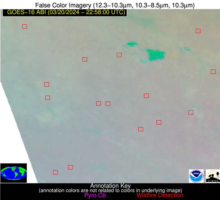
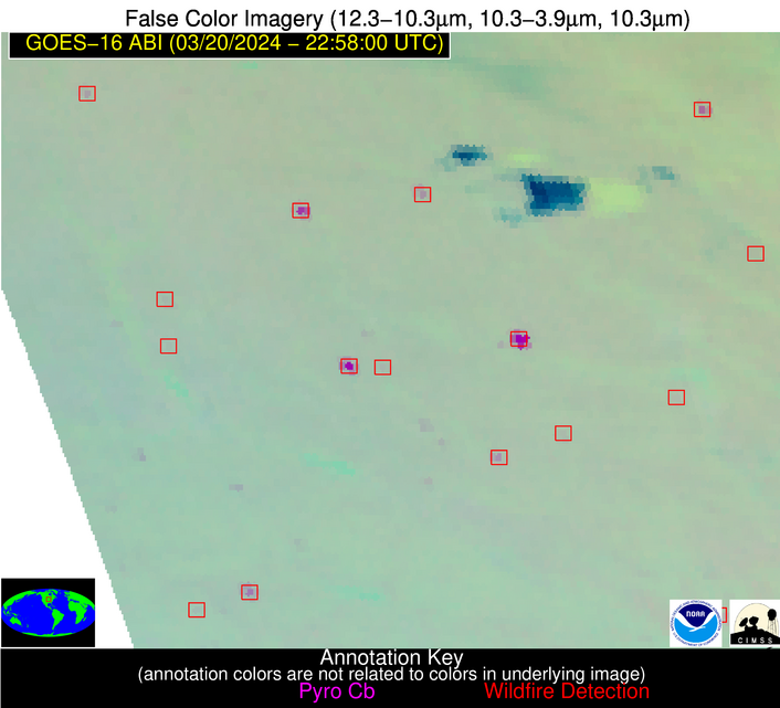
Wildfire Alert Report
| Date: | 2024-03-20 |
|---|---|
| Time: | 22:57:53 |
| Production Date and Time: | 2024-03-20 22:58:37 UTC |
| Primary Instrument: | GOES-16 ABI |
| Wmo Spacecraft Id: | 152 |
| Location/orbit: | GEO |
| L1 File: | OR_ABI-L1b-RadM2-M6C14_G16_s20240802257531_e20240802257588_c20240802258035.nc |
| L1 File(s) - Temporal | OR_ABI-L1b-RadM2-M6C14_G16_s20240802254531_e20240802254588_c20240802255046.nc |
| Number Of Thermal Anomaly Alerts: | 3 |
Possible Wildfire
| Basic Information | |
|---|---|
| State/Province(s) | IA |
| Country/Countries | USA |
| County/Locality(s) | Clayton County, IA |
| NWS WFO | La Crosse WI |
| Identification Method | Enhanced Contextual (Clear) |
| Mean Object Date/Time | 2024-03-20 22:57:54UTC |
| Radiative Center (Lat, Lon): | 42.940°, -91.560° |
| Nearby Counties (meeting alert criteria): |
|
| Total Radiative Power Anomaly | n/a |
| Total Radiative Power | 23.16 MW |
| Map: | |
| Additional Information | |
| Alert Status | New Feature |
| Type of Event | Nominal Risk |
| Event Priority Ranking | 4 |
| Maximum Observed BT (3.9 um) | 288.86 K |
| Observed - Background BT (3.9 um) | 12.97 K |
| BT Anomaly (3.9 um) | 31.86 K |
| Maximum Observed - Clear RTM BT (3.9 um) | 18.34 K |
| Maximum Observed BTD (3.9-10/11/12 um) | 16.30 K |
| Observed - Background BTD (3.9-10/11/12 um) | 12.35 K |
| BTD Anomaly (3.9-10/11/12 um) | 20.05 K |
| Similar Pixel Count | 1 |
| BT Time Tendency (3.9 um) | 8.70 K |
| Image Interval | 3.00 minutes |
| Fraction of Surrounding LWIR Pixels that are Colder | 0.85 |
| Fraction of Surrounding Red Channel Pixels that are Brighter | 1.00 |
| Maximum Radiative Power | 23.16 MW |
| Maximum Radiative Power Uncertainty | 0.00 MW |
| Total Radiative Power Uncertainty | 0.00 MW |
| Mean Viewing Angle | 52.50° |
| Mean Solar Zenith Angle | 76.40° |
| Mean Glint Angle | 73.90° |
| Water Fraction | 0.00 |
| Total Pixel Area | 7.70 km2 |
| Latest Satellite Imagery: | |
| View all event imagery » | |
Possible Wildfire
| Basic Information | |
|---|---|
| State/Province(s) | IA |
| Country/Countries | USA |
| County/Locality(s) | Kossuth County, IA |
| NWS WFO | Des Moines IA |
| Identification Method | Enhanced Contextual (Clear) |
| Mean Object Date/Time | 2024-03-20 22:57:54UTC |
| Radiative Center (Lat, Lon): | 43.000°, -94.080° |
| Nearby Counties (meeting alert criteria): |
|
| Total Radiative Power Anomaly | n/a |
| Total Radiative Power | 7.69 MW |
| Map: | |
| Additional Information | |
| Alert Status | New Feature |
| Type of Event | Nominal Risk |
| Event Priority Ranking | 4 |
| Maximum Observed BT (3.9 um) | 283.73 K |
| Observed - Background BT (3.9 um) | 4.30 K |
| BT Anomaly (3.9 um) | 20.23 K |
| Maximum Observed - Clear RTM BT (3.9 um) | 12.26 K |
| Maximum Observed BTD (3.9-10/11/12 um) | 8.88 K |
| Observed - Background BTD (3.9-10/11/12 um) | 4.34 K |
| BTD Anomaly (3.9-10/11/12 um) | 21.69 K |
| Similar Pixel Count | 1 |
| BT Time Tendency (3.9 um) | 2.30 K |
| Image Interval | 3.00 minutes |
| Fraction of Surrounding LWIR Pixels that are Colder | 0.45 |
| Fraction of Surrounding Red Channel Pixels that are Brighter | 1.00 |
| Maximum Radiative Power | 7.69 MW |
| Maximum Radiative Power Uncertainty | 0.00 MW |
| Total Radiative Power Uncertainty | 0.00 MW |
| Mean Viewing Angle | 53.40° |
| Mean Solar Zenith Angle | 74.60° |
| Mean Glint Angle | 71.80° |
| Water Fraction | 0.00 |
| Total Pixel Area | 8.00 km2 |
| Latest Satellite Imagery: | |
| View all event imagery » | |
Possible Wildfire
| Basic Information | |
|---|---|
| State/Province(s) | IA |
| Country/Countries | USA |
| County/Locality(s) | Wayne County, IA |
| NWS WFO | Des Moines IA |
| Identification Method | Enhanced Contextual (Clear) |
| Mean Object Date/Time | 2024-03-20 22:57:54UTC |
| Radiative Center (Lat, Lon): | 40.860°, -93.420° |
| Nearby Counties (meeting alert criteria): |
|
| Total Radiative Power Anomaly | n/a |
| Total Radiative Power | 20.56 MW |
| Map: | |
| Additional Information | |
| Alert Status | New Feature |
| Type of Event | Nominal Risk |
| Event Priority Ranking | 4 |
| Maximum Observed BT (3.9 um) | 291.10 K |
| Observed - Background BT (3.9 um) | 10.49 K |
| BT Anomaly (3.9 um) | 18.64 K |
| Maximum Observed - Clear RTM BT (3.9 um) | 17.05 K |
| Maximum Observed BTD (3.9-10/11/12 um) | 14.07 K |
| Observed - Background BTD (3.9-10/11/12 um) | 10.40 K |
| BTD Anomaly (3.9-10/11/12 um) | 28.00 K |
| Similar Pixel Count | 1 |
| BT Time Tendency (3.9 um) | 7.50 K |
| Image Interval | 3.00 minutes |
| Fraction of Surrounding LWIR Pixels that are Colder | 0.60 |
| Fraction of Surrounding Red Channel Pixels that are Brighter | 1.00 |
| Maximum Radiative Power | 20.56 MW |
| Maximum Radiative Power Uncertainty | 0.00 MW |
| Total Radiative Power Uncertainty | 0.00 MW |
| Mean Viewing Angle | 51.10° |
| Mean Solar Zenith Angle | 74.50° |
| Mean Glint Angle | 70.70° |
| Water Fraction | 0.00 |
| Total Pixel Area | 7.40 km2 |
| Latest Satellite Imagery: | |
| View all event imagery » | |


