Wildfire Alert Report
| Date: | 2024-03-20 |
|---|---|
| Time: | 21:52:53 |
| Production Date and Time: | 2024-03-20 21:54:00 UTC |
| Primary Instrument: | GOES-16 ABI |
| Wmo Spacecraft Id: | 152 |
| Location/orbit: | GEO |
| L1 File: | OR_ABI-L1b-RadM2-M6C14_G16_s20240802152531_e20240802152588_c20240802153036.nc |
| L1 File(s) - Temporal | OR_ABI-L1b-RadM2-M6C14_G16_s20240802149531_e20240802149590_c20240802150040.nc |
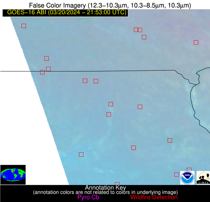
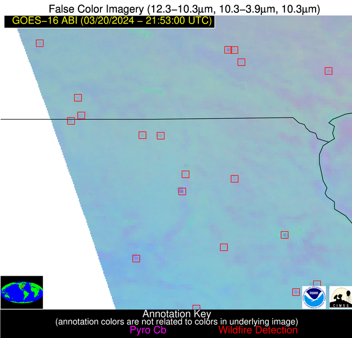
| Number Of Thermal Anomaly Alerts: | 3 |
Possible Wildfire
| Basic Information | |
|---|---|
| State/Province(s) | IL |
| Country/Countries | USA |
| County/Locality(s) | Carroll County, IL |
| NWS WFO | Quad Cities IL |
| Identification Method | Enhanced Contextual (Clear) |
| Mean Object Date/Time | 2024-03-20 21:52:55UTC |
| Radiative Center (Lat, Lon): | 41.980000°, -89.850000° |
| Nearby Counties (meeting alert criteria): |
|
| Total Radiative Power Anomaly | n/a |
| Total Radiative Power | 9.16 MW |
| Map: | |
| Additional Information | |
| Alert Status | New Feature |
| Type of Event | Nominal Risk |
| Event Priority Ranking | 4 |
| Maximum Observed BT (3.9 um) | 291.10 K |
| Observed - Background BT (3.9 um) | 5.23 K |
| BT Anomaly (3.9 um) | 4.73 K |
| Maximum Observed - Clear RTM BT (3.9 um) | 18.38 K |
| Maximum Observed BTD (3.9-10/11/12 um) | 10.96 K |
| Observed - Background BTD (3.9-10/11/12 um) | 4.39 K |
| BTD Anomaly (3.9-10/11/12 um) | 6.00 K |
| Similar Pixel Count | 13 |
| BT Time Tendency (3.9 um) | 2.00 K |
| Image Interval | 3.00 minutes |
| Fraction of Surrounding LWIR Pixels that are Colder | 0.89 |
| Fraction of Surrounding Red Channel Pixels that are Brighter | 1.00 |
| Maximum Radiative Power | 9.16 MW |
| Maximum Radiative Power Uncertainty | 0.00 MW |
| Total Radiative Power Uncertainty | 0.00 MW |
| Mean Viewing Angle | 51.00° |
| Mean Solar Zenith Angle | 65.90° |
| Mean Glint Angle | 77.10° |
| Water Fraction | 0.00 |
| Total Pixel Area | 7.30 km2 |
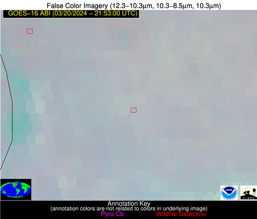
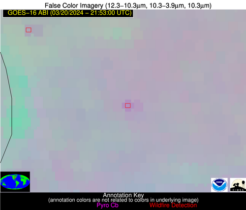
| Latest Satellite Imagery: | |
| View all event imagery » | |
Possible Wildfire
| Basic Information | |
|---|---|
| State/Province(s) | IA |
| Country/Countries | USA |
| County/Locality(s) | Madison County, IA |
| NWS WFO | Des Moines IA |
| Identification Method | Enhanced Contextual (Clear) |
| Mean Object Date/Time | 2024-03-20 21:52:54UTC |
| Radiative Center (Lat, Lon): | 41.300000°, -93.970000° |
| Nearby Counties (meeting alert criteria): |
|
| Total Radiative Power Anomaly | n/a |
| Total Radiative Power | 6.31 MW |
| Map: | |
| Additional Information | |
| Alert Status | New Feature |
| Type of Event | Nominal Risk |
| Event Priority Ranking | 4 |
| Maximum Observed BT (3.9 um) | 290.33 K |
| Observed - Background BT (3.9 um) | 3.46 K |
| BT Anomaly (3.9 um) | 5.95 K |
| Maximum Observed - Clear RTM BT (3.9 um) | 14.97 K |
| Maximum Observed BTD (3.9-10/11/12 um) | 9.08 K |
| Observed - Background BTD (3.9-10/11/12 um) | 3.02 K |
| BTD Anomaly (3.9-10/11/12 um) | 7.74 K |
| Similar Pixel Count | 18 |
| BT Time Tendency (3.9 um) | 1.90 K |
| Image Interval | 3.00 minutes |
| Fraction of Surrounding LWIR Pixels that are Colder | 0.86 |
| Fraction of Surrounding Red Channel Pixels that are Brighter | 1.00 |
| Maximum Radiative Power | 6.31 MW |
| Maximum Radiative Power Uncertainty | 0.00 MW |
| Total Radiative Power Uncertainty | 0.00 MW |
| Mean Viewing Angle | 51.70° |
| Mean Solar Zenith Angle | 62.90° |
| Mean Glint Angle | 73.50° |
| Water Fraction | 0.00 |
| Total Pixel Area | 7.60 km2 |
| Latest Satellite Imagery: | |
| View all event imagery » | |
Possible Wildfire
| Basic Information | |
|---|---|
| State/Province(s) | MO |
| Country/Countries | USA |
| County/Locality(s) | Montgomery County, MO |
| NWS WFO | St Louis MO |
| Identification Method | Enhanced Contextual (Clear) |
| Mean Object Date/Time | 2024-03-20 21:52:54UTC |
| Radiative Center (Lat, Lon): | 39.020000°, -91.520000° |
| Nearby Counties (meeting alert criteria): |
|
| Total Radiative Power Anomaly | n/a |
| Total Radiative Power | 8.16 MW |
| Map: | |
| Additional Information | |
| Alert Status | New Feature |
| Type of Event | Nominal Risk |
| Event Priority Ranking | 4 |
| Maximum Observed BT (3.9 um) | 291.44 K |
| Observed - Background BT (3.9 um) | 2.95 K |
| BT Anomaly (3.9 um) | 3.28 K |
| Maximum Observed - Clear RTM BT (3.9 um) | 12.94 K |
| Maximum Observed BTD (3.9-10/11/12 um) | 8.68 K |
| Observed - Background BTD (3.9-10/11/12 um) | 3.25 K |
| BTD Anomaly (3.9-10/11/12 um) | 4.10 K |
| Similar Pixel Count | 10 |
| BT Time Tendency (3.9 um) | 2.90 K |
| Image Interval | 3.00 minutes |
| Fraction of Surrounding LWIR Pixels that are Colder | 0.13 |
| Fraction of Surrounding Red Channel Pixels that are Brighter | 1.00 |
| Maximum Radiative Power | 8.16 MW |
| Maximum Radiative Power Uncertainty | 0.00 MW |
| Total Radiative Power Uncertainty | 0.00 MW |
| Mean Viewing Angle | 48.50° |
| Mean Solar Zenith Angle | 63.60° |
| Mean Glint Angle | 72.20° |
| Water Fraction | 0.00 |
| Total Pixel Area | 6.90 km2 |
| Latest Satellite Imagery: | |
| View all event imagery » | |


