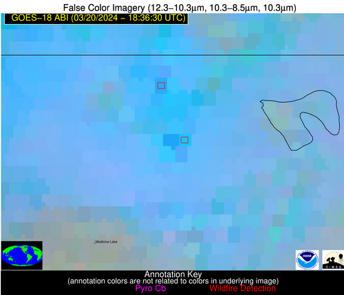
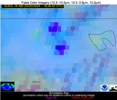
Wildfire Alert Report
| Date: | 2024-03-20 |
|---|---|
| Time: | 18:36:17 |
| Production Date and Time: | 2024-03-20 18:40:55 UTC |
| Primary Instrument: | GOES-18 ABI |
| Wmo Spacecraft Id: | 665 |
| Location/orbit: | GEO |
| L1 File: | OR_ABI-L1b-RadC-M6C14_G18_s20240801836173_e20240801838546_c20240801839037.nc |
| L1 File(s) - Temporal | OR_ABI-L1b-RadC-M6C14_G18_s20240801831173_e20240801833546_c20240801834002.nc |
| Number Of Thermal Anomaly Alerts: | 4 |
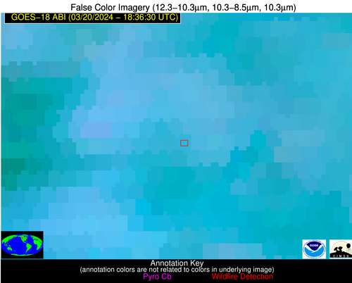
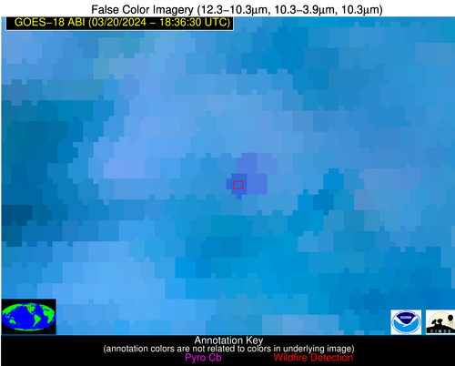
Possible Wildfire
| Basic Information | |
|---|---|
| State/Province(s) | WA |
| Country/Countries | USA |
| County/Locality(s) | Whitman County, WA |
| NWS WFO | Spokane WA |
| Identification Method | Enhanced Contextual (Clear) |
| Mean Object Date/Time | 2024-03-20 18:36:23UTC |
| Radiative Center (Lat, Lon): | 47.000000°, -117.460000° |
| Nearby Counties (meeting alert criteria): |
|
| Total Radiative Power Anomaly | n/a |
| Total Radiative Power | 26.45 MW |
| Map: | |
| Additional Information | |
| Alert Status | New Feature |
| Type of Event | Nominal Risk |
| Event Priority Ranking | 4 |
| Maximum Observed BT (3.9 um) | 301.50 K |
| Observed - Background BT (3.9 um) | 6.82 K |
| BT Anomaly (3.9 um) | 7.70 K |
| Maximum Observed - Clear RTM BT (3.9 um) | 17.17 K |
| Maximum Observed BTD (3.9-10/11/12 um) | 19.43 K |
| Observed - Background BTD (3.9-10/11/12 um) | 6.39 K |
| BTD Anomaly (3.9-10/11/12 um) | 5.76 K |
| Similar Pixel Count | 17 |
| BT Time Tendency (3.9 um) | 3.40 K |
| Image Interval | 5.00 minutes |
| Fraction of Surrounding LWIR Pixels that are Colder | 0.51 |
| Fraction of Surrounding Red Channel Pixels that are Brighter | 1.00 |
| Maximum Radiative Power | 26.45 MW |
| Maximum Radiative Power Uncertainty | 0.00 MW |
| Total Radiative Power Uncertainty | 0.00 MW |
| Mean Viewing Angle | 57.60° |
| Mean Solar Zenith Angle | 50.40° |
| Mean Glint Angle | 93.20° |
| Water Fraction | 0.00 |
| Total Pixel Area | 9.10 km2 |
| Latest Satellite Imagery: | |
| View all event imagery » | |
Possible Wildfire
| Basic Information | |
|---|---|
| State/Province(s) | MT |
| Country/Countries | USA |
| County/Locality(s) | Yellowstone County, MT |
| NWS WFO | Billings MT |
| Identification Method | Enhanced Contextual (Clear) |
| Mean Object Date/Time | 2024-03-20 18:36:24UTC |
| Radiative Center (Lat, Lon): | 45.790000°, -108.640000° |
| Nearby Counties (meeting alert criteria): |
|
| Total Radiative Power Anomaly | n/a |
| Total Radiative Power | 16.38 MW |
| Map: | |
| Additional Information | |
| Alert Status | New Feature |
| Type of Event | Nominal Risk |
| Event Priority Ranking | 4 |
| Maximum Observed BT (3.9 um) | 301.96 K |
| Observed - Background BT (3.9 um) | 3.77 K |
| BT Anomaly (3.9 um) | 3.14 K |
| Maximum Observed - Clear RTM BT (3.9 um) | 13.89 K |
| Maximum Observed BTD (3.9-10/11/12 um) | 13.95 K |
| Observed - Background BTD (3.9-10/11/12 um) | 3.37 K |
| BTD Anomaly (3.9-10/11/12 um) | 6.28 K |
| Similar Pixel Count | 25 |
| BT Time Tendency (3.9 um) | 1.20 K |
| Image Interval | 5.00 minutes |
| Fraction of Surrounding LWIR Pixels that are Colder | 0.68 |
| Fraction of Surrounding Red Channel Pixels that are Brighter | 1.00 |
| Maximum Radiative Power | 16.38 MW |
| Maximum Radiative Power Uncertainty | 0.00 MW |
| Total Radiative Power Uncertainty | 0.00 MW |
| Mean Viewing Angle | 60.00° |
| Mean Solar Zenith Angle | 47.10° |
| Mean Glint Angle | 92.60° |
| Water Fraction | 0.00 |
| Total Pixel Area | 10.50 km2 |
| Latest Satellite Imagery: | |
| View all event imagery » | |
Possible Wildfire
| Basic Information | |
|---|---|
| State/Province(s) | CA |
| Country/Countries | USA |
| County/Locality(s) | Modoc County, CA |
| NWS WFO | Medford OR |
| Identification Method | Enhanced Contextual (Cloud) |
| Mean Object Date/Time | 2024-03-20 18:36:53UTC |
| Radiative Center (Lat, Lon): | 41.820000°, -121.370000° |
| Nearby Counties (meeting alert criteria): |
|
| Total Radiative Power Anomaly | n/a |
| Total Radiative Power | 704.30 MW |
| Map: | |
| Additional Information | |
| Alert Status | New Feature |
| Type of Event | Nominal Risk |
| Event Priority Ranking | 4 |
| Maximum Observed BT (3.9 um) | 355.75 K |
| Observed - Background BT (3.9 um) | 55.64 K |
| BT Anomaly (3.9 um) | 12.51 K |
| Maximum Observed - Clear RTM BT (3.9 um) | 71.35 K |
| Maximum Observed BTD (3.9-10/11/12 um) | 62.65 K |
| Observed - Background BTD (3.9-10/11/12 um) | 53.08 K |
| BTD Anomaly (3.9-10/11/12 um) | 13.92 K |
| Similar Pixel Count | 0 |
| BT Time Tendency (3.9 um) | 47.80 K |
| Image Interval | 5.00 minutes |
| Fraction of Surrounding LWIR Pixels that are Colder | 0.98 |
| Fraction of Surrounding Red Channel Pixels that are Brighter | 0.42 |
| Maximum Radiative Power | 582.60 MW |
| Maximum Radiative Power Uncertainty | 0.00 MW |
| Total Radiative Power Uncertainty | 0.00 MW |
| Mean Viewing Angle | 51.10° |
| Mean Solar Zenith Angle | 47.40° |
| Mean Glint Angle | 83.70° |
| Water Fraction | 0.00 |
| Total Pixel Area | 22.10 km2 |
| Latest Satellite Imagery: | |
| View all event imagery » | |
Possible Wildfire
| Basic Information | |
|---|---|
| State/Province(s) | CO |
| Country/Countries | USA |
| County/Locality(s) | Moffat County, CO |
| NWS WFO | Grand Junction CO |
| Identification Method | Enhanced Contextual (Clear) |
| Mean Object Date/Time | 2024-03-20 18:36:54UTC |
| Radiative Center (Lat, Lon): | 40.500000°, -108.000000° |
| Nearby Counties (meeting alert criteria): |
|
| Total Radiative Power Anomaly | n/a |
| Total Radiative Power | 31.03 MW |
| Map: | |
| Additional Information | |
| Alert Status | New Feature |
| Type of Event | Nominal Risk, Known Incident: LSFO PILE BURN RX (HIGH, tdiff=0.1842 days, POINT) |
| Event Priority Ranking | 4 |
| Maximum Observed BT (3.9 um) | 301.30 K |
| Observed - Background BT (3.9 um) | 4.65 K |
| BT Anomaly (3.9 um) | 2.90 K |
| Maximum Observed - Clear RTM BT (3.9 um) | 13.63 K |
| Maximum Observed BTD (3.9-10/11/12 um) | 13.35 K |
| Observed - Background BTD (3.9-10/11/12 um) | 4.70 K |
| BTD Anomaly (3.9-10/11/12 um) | 11.07 K |
| Similar Pixel Count | 9 |
| BT Time Tendency (3.9 um) | 1.30 K |
| Image Interval | 5.00 minutes |
| Fraction of Surrounding LWIR Pixels that are Colder | 0.50 |
| Fraction of Surrounding Red Channel Pixels that are Brighter | 1.00 |
| Maximum Radiative Power | 15.52 MW |
| Maximum Radiative Power Uncertainty | 0.00 MW |
| Total Radiative Power Uncertainty | 0.00 MW |
| Mean Viewing Angle | 55.80° |
| Mean Solar Zenith Angle | 41.90° |
| Mean Glint Angle | 83.30° |
| Water Fraction | 0.00 |
| Total Pixel Area | 18.10 km2 |
| Latest Satellite Imagery: | |
| View all event imagery » | |
