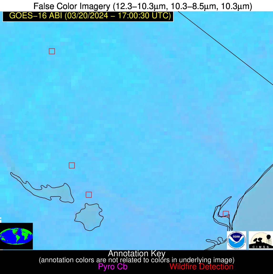
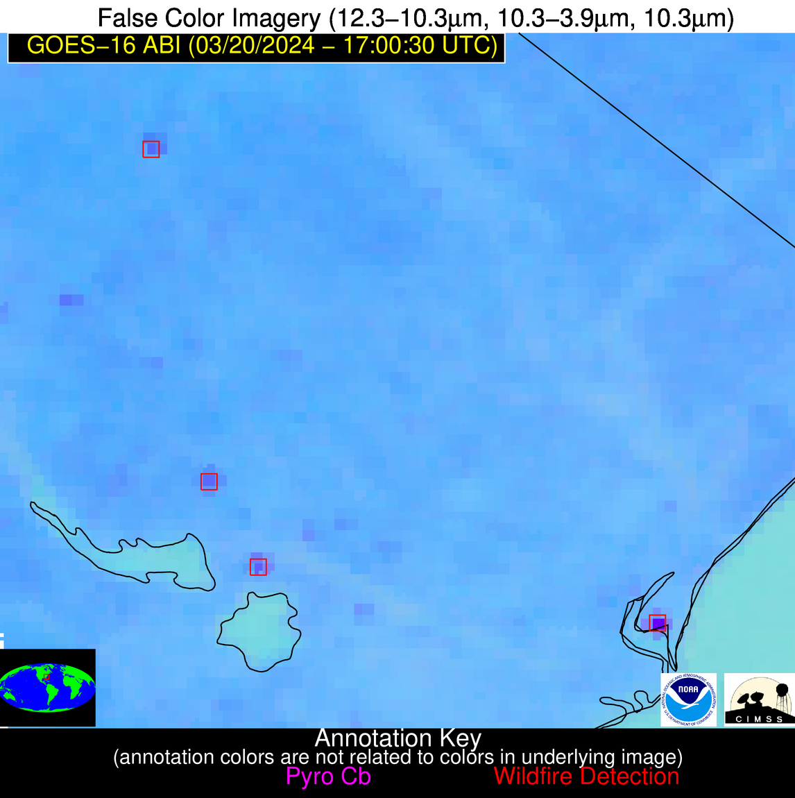
Wildfire Alert Report
| Date: | 2024-03-20 |
|---|---|
| Time: | 17:00:25 |
| Production Date and Time: | 2024-03-20 17:01:07 UTC |
| Primary Instrument: | GOES-16 ABI |
| Wmo Spacecraft Id: | 152 |
| Location/orbit: | GEO |
| L1 File: | OR_ABI-L1b-RadM1-M6C14_G16_s20240801700259_e20240801700317_c20240801700384.nc |
| L1 File(s) - Temporal | NONE |
| Number Of Thermal Anomaly Alerts: | 6 |
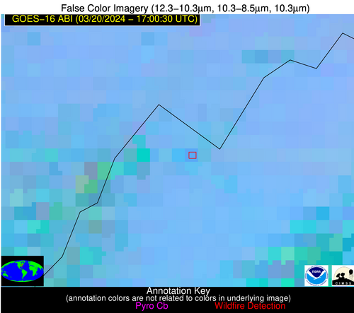
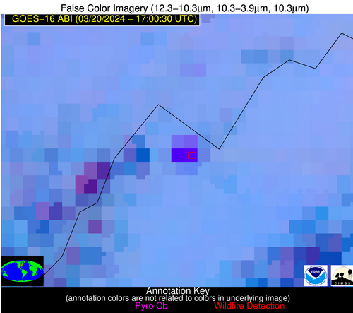
Possible Wildfire
| Basic Information | |
|---|---|
| State/Province(s) | VA |
| Country/Countries | USA |
| County/Locality(s) | Rockingham County, VA |
| NWS WFO | Baltimore MD/Washington DC |
| Identification Method | Enhanced Contextual (Cloud) |
| Mean Object Date/Time | 2024-03-20 17:00:26UTC |
| Radiative Center (Lat, Lon): | 38.760000°, -78.920000° |
| Nearby Counties (meeting alert criteria): |
|
| Total Radiative Power Anomaly | n/a |
| Total Radiative Power | 334.82 MW |
| Map: | |
| Additional Information | |
| Alert Status | New Feature |
| Type of Event | Elevated SPC Risk and Red Flag Warning |
| Event Priority Ranking | 1 |
| Maximum Observed BT (3.9 um) | 335.51 K |
| Observed - Background BT (3.9 um) | 36.69 K |
| BT Anomaly (3.9 um) | 49.46 K |
| Maximum Observed - Clear RTM BT (3.9 um) | 52.38 K |
| Maximum Observed BTD (3.9-10/11/12 um) | 46.37 K |
| Observed - Background BTD (3.9-10/11/12 um) | 36.80 K |
| BTD Anomaly (3.9-10/11/12 um) | 61.25 K |
| Similar Pixel Count | 0 |
| BT Time Tendency (3.9 um) | -999.00 K |
| Image Interval | -999.00 minutes |
| Fraction of Surrounding LWIR Pixels that are Colder | 0.50 |
| Fraction of Surrounding Red Channel Pixels that are Brighter | 0.25 |
| Maximum Radiative Power | 191.53 MW |
| Maximum Radiative Power Uncertainty | 0.00 MW |
| Total Radiative Power Uncertainty | 0.00 MW |
| Mean Viewing Angle | 45.30° |
| Mean Solar Zenith Angle | 39.30° |
| Mean Glint Angle | 84.60° |
| Water Fraction | 0.00 |
| Total Pixel Area | 12.50 km2 |
| Latest Satellite Imagery: | |
| View all event imagery » | |
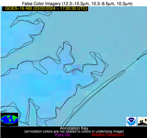
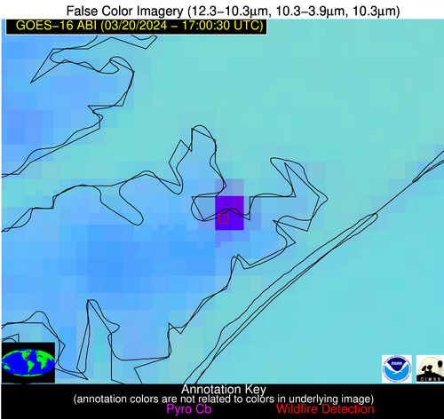
Possible Wildfire
| Basic Information | |
|---|---|
| State/Province(s) | NC |
| Country/Countries | USA |
| County/Locality(s) | Carteret County, NC |
| NWS WFO | Newport/Morehead City NC |
| Identification Method | Enhanced Contextual (Cloud) |
| Mean Object Date/Time | 2024-03-20 17:00:30UTC |
| Radiative Center (Lat, Lon): | 34.930000°, -76.420000° |
| Nearby Counties (meeting alert criteria): |
|
| Total Radiative Power Anomaly | n/a |
| Total Radiative Power | 511.43 MW |
| Map: | |
| Additional Information | |
| Alert Status | New Feature |
| Type of Event | Nominal Risk |
| Event Priority Ranking | 4 |
| Maximum Observed BT (3.9 um) | 331.83 K |
| Observed - Background BT (3.9 um) | 34.74 K |
| BT Anomaly (3.9 um) | 16.73 K |
| Maximum Observed - Clear RTM BT (3.9 um) | 44.41 K |
| Maximum Observed BTD (3.9-10/11/12 um) | 41.59 K |
| Observed - Background BTD (3.9-10/11/12 um) | 34.25 K |
| BTD Anomaly (3.9-10/11/12 um) | 31.05 K |
| Similar Pixel Count | 0 |
| BT Time Tendency (3.9 um) | -999.00 K |
| Image Interval | -999.00 minutes |
| Fraction of Surrounding LWIR Pixels that are Colder | 0.86 |
| Fraction of Surrounding Red Channel Pixels that are Brighter | 0.81 |
| Maximum Radiative Power | 155.74 MW |
| Maximum Radiative Power Uncertainty | 0.00 MW |
| Total Radiative Power Uncertainty | 0.00 MW |
| Mean Viewing Angle | 40.80° |
| Mean Solar Zenith Angle | 35.30° |
| Mean Glint Angle | 76.10° |
| Water Fraction | 0.00 |
| Total Pixel Area | 22.80 km2 |
| Latest Satellite Imagery: | |
| View all event imagery » | |
Possible Wildfire
| Basic Information | |
|---|---|
| State/Province(s) | SC |
| Country/Countries | USA |
| County/Locality(s) | Chesterfield County, SC |
| NWS WFO | Columbia SC |
| Identification Method | Enhanced Contextual (Clear) |
| Mean Object Date/Time | 2024-03-20 17:00:29UTC |
| Radiative Center (Lat, Lon): | 34.390000°, -80.280000° |
| Nearby Counties (meeting alert criteria): |
|
| Total Radiative Power Anomaly | n/a |
| Total Radiative Power | 52.55 MW |
| Map: | |
| Additional Information | |
| Alert Status | New Feature |
| Type of Event | Nominal Risk |
| Event Priority Ranking | 4 |
| Maximum Observed BT (3.9 um) | 312.45 K |
| Observed - Background BT (3.9 um) | 8.45 K |
| BT Anomaly (3.9 um) | 6.53 K |
| Maximum Observed - Clear RTM BT (3.9 um) | 22.15 K |
| Maximum Observed BTD (3.9-10/11/12 um) | 18.11 K |
| Observed - Background BTD (3.9-10/11/12 um) | 8.81 K |
| BTD Anomaly (3.9-10/11/12 um) | 15.78 K |
| Similar Pixel Count | 4 |
| BT Time Tendency (3.9 um) | -999.00 K |
| Image Interval | -999.00 minutes |
| Fraction of Surrounding LWIR Pixels that are Colder | 0.34 |
| Fraction of Surrounding Red Channel Pixels that are Brighter | 1.00 |
| Maximum Radiative Power | 31.38 MW |
| Maximum Radiative Power Uncertainty | 0.00 MW |
| Total Radiative Power Uncertainty | 0.00 MW |
| Mean Viewing Angle | 40.50° |
| Mean Solar Zenith Angle | 35.20° |
| Mean Glint Angle | 75.70° |
| Water Fraction | 0.00 |
| Total Pixel Area | 11.40 km2 |
| Latest Satellite Imagery: | |
| View all event imagery » | |
Possible Wildfire
| Basic Information | |
|---|---|
| State/Province(s) | SC |
| Country/Countries | USA |
| County/Locality(s) | Clarendon County, SC |
| NWS WFO | Columbia SC |
| Identification Method | Enhanced Contextual (Clear) |
| Mean Object Date/Time | 2024-03-20 17:00:29UTC |
| Radiative Center (Lat, Lon): | 33.640000°, -80.160000° |
| Nearby Counties (meeting alert criteria): |
|
| Total Radiative Power Anomaly | n/a |
| Total Radiative Power | 31.74 MW |
| Map: | |
| Additional Information | |
| Alert Status | New Feature |
| Type of Event | Nominal Risk |
| Event Priority Ranking | 4 |
| Maximum Observed BT (3.9 um) | 312.25 K |
| Observed - Background BT (3.9 um) | 10.38 K |
| BT Anomaly (3.9 um) | 5.81 K |
| Maximum Observed - Clear RTM BT (3.9 um) | 22.42 K |
| Maximum Observed BTD (3.9-10/11/12 um) | 18.23 K |
| Observed - Background BTD (3.9-10/11/12 um) | 9.60 K |
| BTD Anomaly (3.9-10/11/12 um) | 10.05 K |
| Similar Pixel Count | 3 |
| BT Time Tendency (3.9 um) | -999.00 K |
| Image Interval | -999.00 minutes |
| Fraction of Surrounding LWIR Pixels that are Colder | 0.79 |
| Fraction of Surrounding Red Channel Pixels that are Brighter | 0.97 |
| Maximum Radiative Power | 31.74 MW |
| Maximum Radiative Power Uncertainty | 0.00 MW |
| Total Radiative Power Uncertainty | 0.00 MW |
| Mean Viewing Angle | 39.70° |
| Mean Solar Zenith Angle | 34.50° |
| Mean Glint Angle | 74.10° |
| Water Fraction | 0.00 |
| Total Pixel Area | 5.60 km2 |
| Latest Satellite Imagery: | |
| View all event imagery » | |
Possible Wildfire
| Basic Information | |
|---|---|
| State/Province(s) | SC |
| Country/Countries | USA |
| County/Locality(s) | Berkeley County, SC |
| NWS WFO | Charleston SC |
| Identification Method | Enhanced Contextual (Clear) |
| Mean Object Date/Time | 2024-03-20 17:00:29UTC |
| Radiative Center (Lat, Lon): | 33.450000°, -80.060000° |
| Nearby Counties (meeting alert criteria): |
|
| Total Radiative Power Anomaly | n/a |
| Total Radiative Power | 60.72 MW |
| Map: | |
| Additional Information | |
| Alert Status | New Feature |
| Type of Event | Nominal Risk |
| Event Priority Ranking | 4 |
| Maximum Observed BT (3.9 um) | 313.12 K |
| Observed - Background BT (3.9 um) | 12.76 K |
| BT Anomaly (3.9 um) | 10.00 K |
| Maximum Observed - Clear RTM BT (3.9 um) | 22.79 K |
| Maximum Observed BTD (3.9-10/11/12 um) | 19.28 K |
| Observed - Background BTD (3.9-10/11/12 um) | 11.31 K |
| BTD Anomaly (3.9-10/11/12 um) | 13.00 K |
| Similar Pixel Count | 3 |
| BT Time Tendency (3.9 um) | -999.00 K |
| Image Interval | -999.00 minutes |
| Fraction of Surrounding LWIR Pixels that are Colder | 0.99 |
| Fraction of Surrounding Red Channel Pixels that are Brighter | 1.00 |
| Maximum Radiative Power | 60.72 MW |
| Maximum Radiative Power Uncertainty | 0.00 MW |
| Total Radiative Power Uncertainty | 0.00 MW |
| Mean Viewing Angle | 39.40° |
| Mean Solar Zenith Angle | 34.30° |
| Mean Glint Angle | 73.70° |
| Water Fraction | 0.00 |
| Total Pixel Area | 11.20 km2 |
| Latest Satellite Imagery: | |
| View all event imagery » | |
Possible Wildfire
| Basic Information | |
|---|---|
| State/Province(s) | SC |
| Country/Countries | USA |
| County/Locality(s) | Georgetown County, SC |
| NWS WFO | Wilmington NC |
| Identification Method | Enhanced Contextual (Cloud) |
| Mean Object Date/Time | 2024-03-20 17:00:29UTC |
| Radiative Center (Lat, Lon): | 33.320000°, -79.220000° |
| Nearby Counties (meeting alert criteria): |
|
| Total Radiative Power Anomaly | n/a |
| Total Radiative Power | 115.20 MW |
| Map: | |
| Additional Information | |
| Alert Status | New Feature |
| Type of Event | Nominal Risk |
| Event Priority Ranking | 4 |
| Maximum Observed BT (3.9 um) | 325.92 K |
| Observed - Background BT (3.9 um) | 27.07 K |
| BT Anomaly (3.9 um) | 14.49 K |
| Maximum Observed - Clear RTM BT (3.9 um) | 36.46 K |
| Maximum Observed BTD (3.9-10/11/12 um) | 34.97 K |
| Observed - Background BTD (3.9-10/11/12 um) | 27.77 K |
| BTD Anomaly (3.9-10/11/12 um) | 32.53 K |
| Similar Pixel Count | 0 |
| BT Time Tendency (3.9 um) | -999.00 K |
| Image Interval | -999.00 minutes |
| Fraction of Surrounding LWIR Pixels that are Colder | 0.52 |
| Fraction of Surrounding Red Channel Pixels that are Brighter | 0.71 |
| Maximum Radiative Power | 115.20 MW |
| Maximum Radiative Power Uncertainty | 0.00 MW |
| Total Radiative Power Uncertainty | 0.00 MW |
| Mean Viewing Angle | 39.20° |
| Mean Solar Zenith Angle | 34.00° |
| Mean Glint Angle | 73.10° |
| Water Fraction | 0.00 |
| Total Pixel Area | 5.50 km2 |
| Latest Satellite Imagery: | |
| View all event imagery » | |
