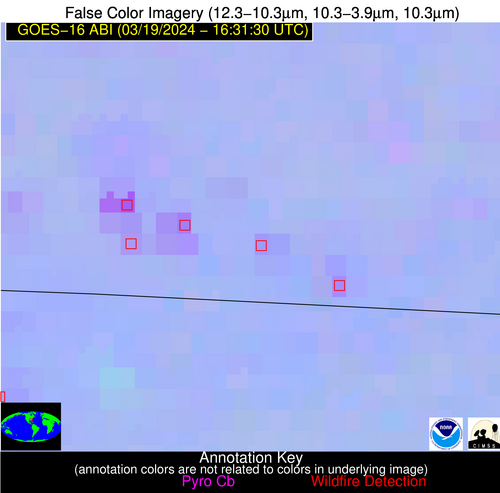
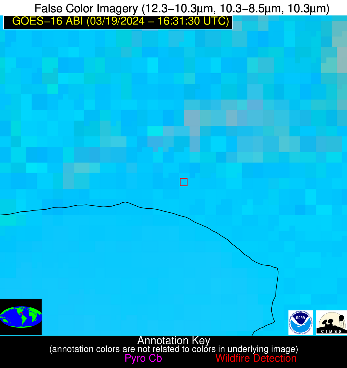
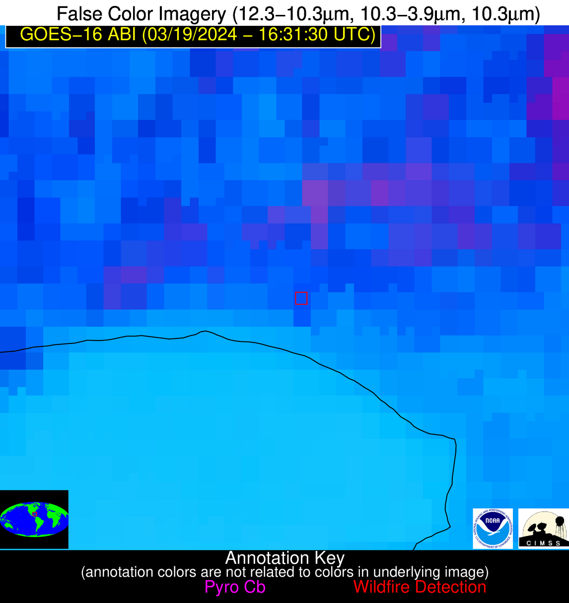
Wildfire Alert Report
| Date: | 2024-03-19 |
|---|---|
| Time: | 16:31:17 |
| Production Date and Time: | 2024-03-19 16:37:36 UTC |
| Primary Instrument: | GOES-16 ABI |
| Wmo Spacecraft Id: | 152 |
| Location/orbit: | GEO |
| L1 File: | OR_ABI-L1b-RadC-M6C14_G16_s20240791631170_e20240791633543_c20240791634003.nc |
| L1 File(s) - Temporal | OR_ABI-L1b-RadC-M6C14_G16_s20240791626170_e20240791628543_c20240791629011.nc |
| Number Of Thermal Anomaly Alerts: | 8 |
Possible Wildfire
| Basic Information | |
|---|---|
| State/Province(s) | AR |
| Country/Countries | USA |
| County/Locality(s) | Scott County, AR |
| NWS WFO | Little Rock AR |
| Identification Method | Enhanced Contextual (Clear) |
| Mean Object Date/Time | 2024-03-19 16:32:20UTC |
| Radiative Center (Lat, Lon): | 34.850000°, -94.200000° |
| Nearby Counties (meeting alert criteria): |
|
| Total Radiative Power Anomaly | n/a |
| Total Radiative Power | 5.89 MW |
| Map: | |
| Additional Information | |
| Alert Status | New Feature |
| Type of Event | Nominal Risk |
| Event Priority Ranking | 4 |
| Maximum Observed BT (3.9 um) | 296.65 K |
| Observed - Background BT (3.9 um) | 2.79 K |
| BT Anomaly (3.9 um) | 2.35 K |
| Maximum Observed - Clear RTM BT (3.9 um) | 14.36 K |
| Maximum Observed BTD (3.9-10/11/12 um) | 8.95 K |
| Observed - Background BTD (3.9-10/11/12 um) | 2.43 K |
| BTD Anomaly (3.9-10/11/12 um) | 4.98 K |
| Similar Pixel Count | 21 |
| BT Time Tendency (3.9 um) | 1.30 K |
| Image Interval | 5.00 minutes |
| Fraction of Surrounding LWIR Pixels that are Colder | 0.69 |
| Fraction of Surrounding Red Channel Pixels that are Brighter | 1.00 |
| Maximum Radiative Power | 5.89 MW |
| Maximum Radiative Power Uncertainty | 0.00 MW |
| Total Radiative Power Uncertainty | 0.00 MW |
| Mean Viewing Angle | 45.50° |
| Mean Solar Zenith Angle | 44.30° |
| Mean Glint Angle | 89.10° |
| Water Fraction | 0.00 |
| Total Pixel Area | 6.50 km2 |
| Latest Satellite Imagery: | |
| View all event imagery » | |
Possible Wildfire
| Basic Information | |
|---|---|
| State/Province(s) | GA |
| Country/Countries | USA |
| County/Locality(s) | Floyd County, GA |
| NWS WFO | Peachtree City GA |
| Identification Method | Enhanced Contextual (Clear) |
| Mean Object Date/Time | 2024-03-19 16:32:21UTC |
| Radiative Center (Lat, Lon): | 34.290000°, -85.370000° |
| Nearby Counties (meeting alert criteria): |
|
| Total Radiative Power Anomaly | n/a |
| Total Radiative Power | 11.75 MW |
| Map: | |
| Additional Information | |
| Alert Status | New Feature |
| Type of Event | Nominal Risk |
| Event Priority Ranking | 4 |
| Maximum Observed BT (3.9 um) | 297.35 K |
| Observed - Background BT (3.9 um) | 3.32 K |
| BT Anomaly (3.9 um) | 3.21 K |
| Maximum Observed - Clear RTM BT (3.9 um) | 16.72 K |
| Maximum Observed BTD (3.9-10/11/12 um) | 10.41 K |
| Observed - Background BTD (3.9-10/11/12 um) | 3.01 K |
| BTD Anomaly (3.9-10/11/12 um) | 5.85 K |
| Similar Pixel Count | 25 |
| BT Time Tendency (3.9 um) | 3.30 K |
| Image Interval | 5.00 minutes |
| Fraction of Surrounding LWIR Pixels that are Colder | 0.64 |
| Fraction of Surrounding Red Channel Pixels that are Brighter | 1.00 |
| Maximum Radiative Power | 11.75 MW |
| Maximum Radiative Power Uncertainty | 0.00 MW |
| Total Radiative Power Uncertainty | 0.00 MW |
| Mean Viewing Angle | 41.50° |
| Mean Solar Zenith Angle | 39.40° |
| Mean Glint Angle | 80.20° |
| Water Fraction | 0.00 |
| Total Pixel Area | 11.70 km2 |
| Latest Satellite Imagery: | |
| View all event imagery » | |
Possible Wildfire
| Basic Information | |
|---|---|
| State/Province(s) | SC |
| Country/Countries | USA |
| County/Locality(s) | Berkeley County, SC |
| NWS WFO | Charleston SC |
| Identification Method | Enhanced Contextual (Clear) |
| Mean Object Date/Time | 2024-03-19 16:32:22UTC |
| Radiative Center (Lat, Lon): | 33.350000°, -79.940000° |
| Nearby Counties (meeting alert criteria): |
|
| Total Radiative Power Anomaly | n/a |
| Total Radiative Power | 5.64 MW |
| Map: | |
| Additional Information | |
| Alert Status | New Feature |
| Type of Event | Nominal Risk |
| Event Priority Ranking | 4 |
| Maximum Observed BT (3.9 um) | 297.53 K |
| Observed - Background BT (3.9 um) | 4.28 K |
| BT Anomaly (3.9 um) | 2.18 K |
| Maximum Observed - Clear RTM BT (3.9 um) | 13.67 K |
| Maximum Observed BTD (3.9-10/11/12 um) | 9.34 K |
| Observed - Background BTD (3.9-10/11/12 um) | 3.33 K |
| BTD Anomaly (3.9-10/11/12 um) | 3.43 K |
| Similar Pixel Count | 14 |
| BT Time Tendency (3.9 um) | 2.30 K |
| Image Interval | 5.00 minutes |
| Fraction of Surrounding LWIR Pixels that are Colder | 0.90 |
| Fraction of Surrounding Red Channel Pixels that are Brighter | 1.00 |
| Maximum Radiative Power | 5.64 MW |
| Maximum Radiative Power Uncertainty | 0.00 MW |
| Total Radiative Power Uncertainty | 0.00 MW |
| Mean Viewing Angle | 39.30° |
| Mean Solar Zenith Angle | 36.50° |
| Mean Glint Angle | 74.90° |
| Water Fraction | 0.00 |
| Total Pixel Area | 5.60 km2 |
| Latest Satellite Imagery: | |
| View all event imagery » | |
Possible Wildfire
| Basic Information | |
|---|---|
| State/Province(s) | AL |
| Country/Countries | USA |
| County/Locality(s) | Talladega County, AL |
| NWS WFO | Birmingham AL |
| Identification Method | Enhanced Contextual (Clear) |
| Mean Object Date/Time | 2024-03-19 16:32:21UTC |
| Radiative Center (Lat, Lon): | 33.370000°, -86.320000° |
| Nearby Counties (meeting alert criteria): |
|
| Total Radiative Power Anomaly | n/a |
| Total Radiative Power | 11.74 MW |
| Map: | |
| Additional Information | |
| Alert Status | New Feature |
| Type of Event | Nominal Risk |
| Event Priority Ranking | 4 |
| Maximum Observed BT (3.9 um) | 298.84 K |
| Observed - Background BT (3.9 um) | 4.14 K |
| BT Anomaly (3.9 um) | 3.78 K |
| Maximum Observed - Clear RTM BT (3.9 um) | 17.55 K |
| Maximum Observed BTD (3.9-10/11/12 um) | 11.57 K |
| Observed - Background BTD (3.9-10/11/12 um) | 4.83 K |
| BTD Anomaly (3.9-10/11/12 um) | 11.31 K |
| Similar Pixel Count | 5 |
| BT Time Tendency (3.9 um) | 3.60 K |
| Image Interval | 5.00 minutes |
| Fraction of Surrounding LWIR Pixels that are Colder | 0.16 |
| Fraction of Surrounding Red Channel Pixels that are Brighter | 1.00 |
| Maximum Radiative Power | 11.74 MW |
| Maximum Radiative Power Uncertainty | 0.00 MW |
| Total Radiative Power Uncertainty | 0.00 MW |
| Mean Viewing Angle | 40.80° |
| Mean Solar Zenith Angle | 39.00° |
| Mean Glint Angle | 79.10° |
| Water Fraction | 0.00 |
| Total Pixel Area | 5.80 km2 |
| Latest Satellite Imagery: | |
| View all event imagery » | |
Possible Wildfire
| Basic Information | |
|---|---|
| State/Province(s) | AL |
| Country/Countries | USA |
| County/Locality(s) | Autauga County, AL |
| NWS WFO | Birmingham AL |
| Identification Method | Enhanced Contextual (Clear) |
| Mean Object Date/Time | 2024-03-19 16:32:21UTC |
| Radiative Center (Lat, Lon): | 32.610000°, -86.540000° |
| Nearby Counties (meeting alert criteria): |
|
| Total Radiative Power Anomaly | n/a |
| Total Radiative Power | 22.41 MW |
| Map: | |
| Additional Information | |
| Alert Status | New Feature |
| Type of Event | Nominal Risk |
| Event Priority Ranking | 4 |
| Maximum Observed BT (3.9 um) | 299.62 K |
| Observed - Background BT (3.9 um) | 4.14 K |
| BT Anomaly (3.9 um) | 3.39 K |
| Maximum Observed - Clear RTM BT (3.9 um) | 17.95 K |
| Maximum Observed BTD (3.9-10/11/12 um) | 9.91 K |
| Observed - Background BTD (3.9-10/11/12 um) | 3.33 K |
| BTD Anomaly (3.9-10/11/12 um) | 7.95 K |
| Similar Pixel Count | 23 |
| BT Time Tendency (3.9 um) | 1.00 K |
| Image Interval | 5.00 minutes |
| Fraction of Surrounding LWIR Pixels that are Colder | 0.85 |
| Fraction of Surrounding Red Channel Pixels that are Brighter | 1.00 |
| Maximum Radiative Power | 8.01 MW |
| Maximum Radiative Power Uncertainty | 0.00 MW |
| Total Radiative Power Uncertainty | 0.00 MW |
| Mean Viewing Angle | 40.10° |
| Mean Solar Zenith Angle | 38.50° |
| Mean Glint Angle | 77.90° |
| Water Fraction | 0.00 |
| Total Pixel Area | 17.10 km2 |
| Latest Satellite Imagery: | |
| View all event imagery » | |
Possible Wildfire
| Basic Information | |
|---|---|
| State/Province(s) | TX |
| Country/Countries | USA |
| County/Locality(s) | Eastland County, TX |
| NWS WFO | Fort Worth TX |
| Identification Method | Enhanced Contextual (Clear) |
| Mean Object Date/Time | 2024-03-19 16:32:20UTC |
| Radiative Center (Lat, Lon): | 32.470000°, -98.660000° |
| Nearby Counties (meeting alert criteria): |
|
| Total Radiative Power Anomaly | n/a |
| Total Radiative Power | 11.13 MW |
| Map: | |
| Additional Information | |
| Alert Status | New Feature |
| Type of Event | Nominal Risk |
| Event Priority Ranking | 4 |
| Maximum Observed BT (3.9 um) | 300.59 K |
| Observed - Background BT (3.9 um) | 3.45 K |
| BT Anomaly (3.9 um) | 3.24 K |
| Maximum Observed - Clear RTM BT (3.9 um) | 11.51 K |
| Maximum Observed BTD (3.9-10/11/12 um) | 13.09 K |
| Observed - Background BTD (3.9-10/11/12 um) | 3.95 K |
| BTD Anomaly (3.9-10/11/12 um) | 4.24 K |
| Similar Pixel Count | 24 |
| BT Time Tendency (3.9 um) | 3.50 K |
| Image Interval | 5.00 minutes |
| Fraction of Surrounding LWIR Pixels that are Colder | 0.31 |
| Fraction of Surrounding Red Channel Pixels that are Brighter | 1.00 |
| Maximum Radiative Power | 11.13 MW |
| Maximum Radiative Power Uncertainty | 0.00 MW |
| Total Radiative Power Uncertainty | 0.00 MW |
| Mean Viewing Angle | 45.70° |
| Mean Solar Zenith Angle | 45.30° |
| Mean Glint Angle | 90.50° |
| Water Fraction | 0.00 |
| Total Pixel Area | 6.60 km2 |
| Latest Satellite Imagery: | |
| View all event imagery » | |
Possible Wildfire
| Basic Information | |
|---|---|
| State/Province(s) | GA |
| Country/Countries | USA |
| County/Locality(s) | Thomas County, GA |
| NWS WFO | Tallahassee FL |
| Identification Method | Enhanced Contextual (Clear) |
| Mean Object Date/Time | 2024-03-19 16:32:21UTC |
| Radiative Center (Lat, Lon): | 30.720000°, -83.800000° |
| Nearby Counties (meeting alert criteria): |
|
| Total Radiative Power Anomaly | n/a |
| Total Radiative Power | 9.28 MW |
| Map: | |
| Additional Information | |
| Alert Status | New Feature |
| Type of Event | Nominal Risk |
| Event Priority Ranking | 4 |
| Maximum Observed BT (3.9 um) | 301.12 K |
| Observed - Background BT (3.9 um) | 4.30 K |
| BT Anomaly (3.9 um) | 2.23 K |
| Maximum Observed - Clear RTM BT (3.9 um) | 14.86 K |
| Maximum Observed BTD (3.9-10/11/12 um) | 9.95 K |
| Observed - Background BTD (3.9-10/11/12 um) | 3.76 K |
| BTD Anomaly (3.9-10/11/12 um) | 2.62 K |
| Similar Pixel Count | 5 |
| BT Time Tendency (3.9 um) | 2.90 K |
| Image Interval | 5.00 minutes |
| Fraction of Surrounding LWIR Pixels that are Colder | 0.74 |
| Fraction of Surrounding Red Channel Pixels that are Brighter | 1.00 |
| Maximum Radiative Power | 9.28 MW |
| Maximum Radiative Power Uncertainty | 0.00 MW |
| Total Radiative Power Uncertainty | 0.00 MW |
| Mean Viewing Angle | 37.20° |
| Mean Solar Zenith Angle | 35.70° |
| Mean Glint Angle | 72.10° |
| Water Fraction | 0.00 |
| Total Pixel Area | 5.40 km2 |
| Latest Satellite Imagery: | |
| View all event imagery » | |
Possible Wildfire
| Basic Information | |
|---|---|
| State/Province(s) | Unknown |
| Country/Countries | Cuba |
| County/Locality(s) | Cuba |
| NWS WFO | N/A |
| Identification Method | Enhanced Contextual (Clear) |
| Mean Object Date/Time | 2024-03-19 16:33:22UTC |
| Radiative Center (Lat, Lon): | 22.710000°, -81.790000° |
| Nearby Counties (meeting alert criteria): |
|
| Total Radiative Power Anomaly | n/a |
| Total Radiative Power | 48.36 MW |
| Map: | |
| Additional Information | |
| Alert Status | New Feature |
| Type of Event | Nominal Risk |
| Event Priority Ranking | 4 |
| Maximum Observed BT (3.9 um) | 319.28 K |
| Observed - Background BT (3.9 um) | 12.50 K |
| BT Anomaly (3.9 um) | 6.25 K |
| Maximum Observed - Clear RTM BT (3.9 um) | 20.57 K |
| Maximum Observed BTD (3.9-10/11/12 um) | 26.74 K |
| Observed - Background BTD (3.9-10/11/12 um) | 11.91 K |
| BTD Anomaly (3.9-10/11/12 um) | 5.31 K |
| Similar Pixel Count | 17 |
| BT Time Tendency (3.9 um) | 1.00 K |
| Image Interval | 5.00 minutes |
| Fraction of Surrounding LWIR Pixels that are Colder | 0.96 |
| Fraction of Surrounding Red Channel Pixels that are Brighter | 0.58 |
| Maximum Radiative Power | 48.36 MW |
| Maximum Radiative Power Uncertainty | 0.00 MW |
| Total Radiative Power Uncertainty | 0.00 MW |
| Mean Viewing Angle | 27.70° |
| Mean Solar Zenith Angle | 28.00° |
| Mean Glint Angle | 54.90° |
| Water Fraction | 0.00 |
| Total Pixel Area | 4.70 km2 |
| Latest Satellite Imagery: | |
| View all event imagery » | |
