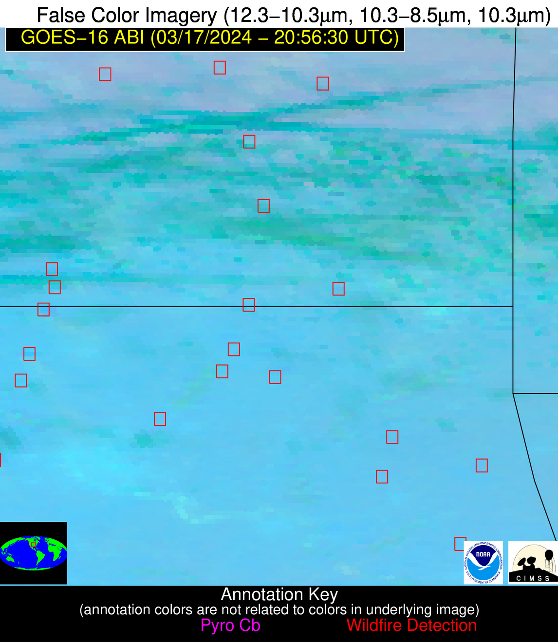
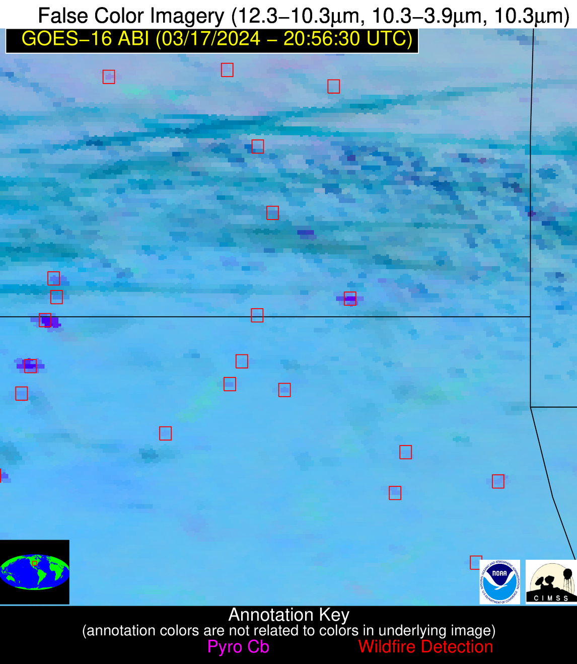
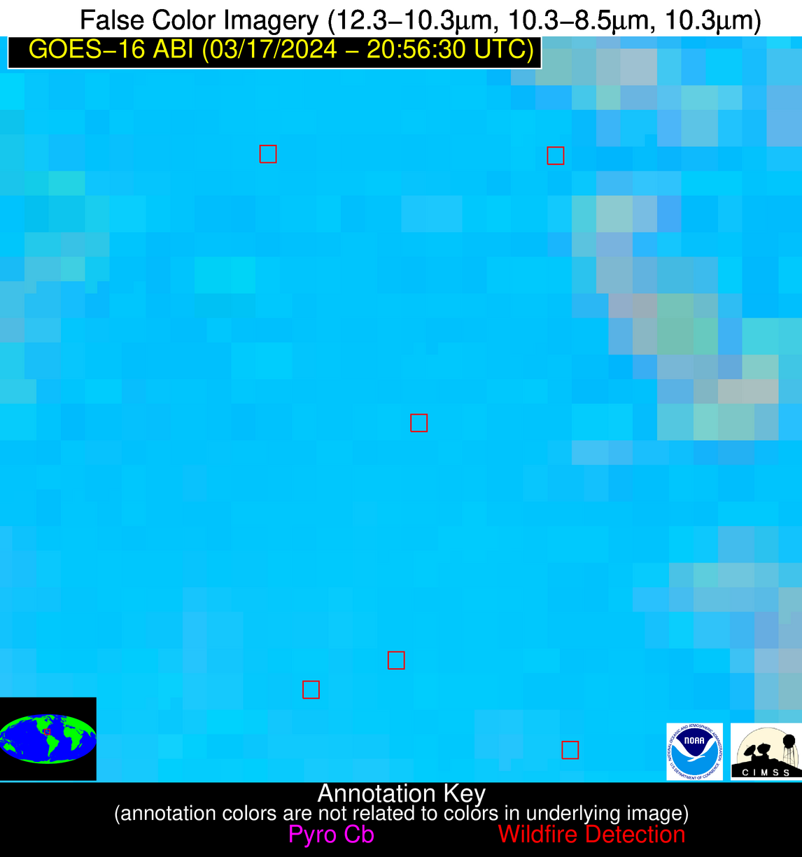
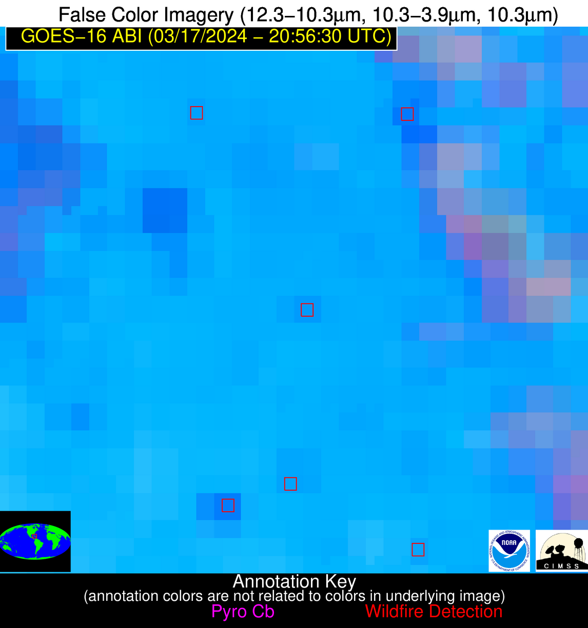
Wildfire Alert Report
| Date: | 2024-03-17 |
|---|---|
| Time: | 20:56:17 |
| Production Date and Time: | 2024-03-17 21:01:01 UTC |
| Primary Instrument: | GOES-16 ABI |
| Wmo Spacecraft Id: | 152 |
| Location/orbit: | GEO |
| L1 File: | OR_ABI-L1b-RadC-M6C14_G16_s20240772056175_e20240772058548_c20240772059011.nc |
| L1 File(s) - Temporal | OR_ABI-L1b-RadC-M6C14_G16_s20240772051175_e20240772053548_c20240772054023.nc |
| Number Of Thermal Anomaly Alerts: | 5 |
Possible Wildfire
| Basic Information | |
|---|---|
| State/Province(s) | KS |
| Country/Countries | USA |
| County/Locality(s) | Coffey County, KS |
| NWS WFO | Topeka KS |
| Identification Method | Enhanced Contextual (Clear) |
| Mean Object Date/Time | 2024-03-17 20:56:50UTC |
| Radiative Center (Lat, Lon): | 38.330000°, -95.880000° |
| Nearby Counties (meeting alert criteria): |
|
| Total Radiative Power Anomaly | n/a |
| Total Radiative Power | 14.23 MW |
| Map: | |
| Additional Information | |
| Alert Status | New Feature |
| Type of Event | Nominal Risk |
| Event Priority Ranking | 4 |
| Maximum Observed BT (3.9 um) | 297.16 K |
| Observed - Background BT (3.9 um) | 5.57 K |
| BT Anomaly (3.9 um) | 4.74 K |
| Maximum Observed - Clear RTM BT (3.9 um) | 15.93 K |
| Maximum Observed BTD (3.9-10/11/12 um) | 12.26 K |
| Observed - Background BTD (3.9-10/11/12 um) | 5.09 K |
| BTD Anomaly (3.9-10/11/12 um) | 6.17 K |
| Similar Pixel Count | 3 |
| BT Time Tendency (3.9 um) | 5.40 K |
| Image Interval | 5.00 minutes |
| Fraction of Surrounding LWIR Pixels that are Colder | 0.75 |
| Fraction of Surrounding Red Channel Pixels that are Brighter | 1.00 |
| Maximum Radiative Power | 14.23 MW |
| Maximum Radiative Power Uncertainty | 0.00 MW |
| Total Radiative Power Uncertainty | 0.00 MW |
| Mean Viewing Angle | 49.60° |
| Mean Solar Zenith Angle | 51.80° |
| Mean Glint Angle | 72.80° |
| Water Fraction | 0.00 |
| Total Pixel Area | 7.20 km2 |
| Latest Satellite Imagery: | |
| View all event imagery » | |
Possible Wildfire
| Basic Information | |
|---|---|
| State/Province(s) | KS |
| Country/Countries | USA |
| County/Locality(s) | Labette County, KS |
| NWS WFO | Wichita KS |
| Identification Method | Enhanced Contextual (Cloud) |
| Mean Object Date/Time | 2024-03-17 20:56:50UTC |
| Radiative Center (Lat, Lon): | 37.100000°, -95.160000° |
| Nearby Counties (meeting alert criteria): |
|
| Total Radiative Power Anomaly | n/a |
| Total Radiative Power | 141.32 MW |
| Map: | |
| Additional Information | |
| Alert Status | New Feature |
| Type of Event | Nominal Risk |
| Event Priority Ranking | 4 |
| Maximum Observed BT (3.9 um) | 319.69 K |
| Observed - Background BT (3.9 um) | 25.81 K |
| BT Anomaly (3.9 um) | 25.59 K |
| Maximum Observed - Clear RTM BT (3.9 um) | 37.34 K |
| Maximum Observed BTD (3.9-10/11/12 um) | 32.42 K |
| Observed - Background BTD (3.9-10/11/12 um) | 24.62 K |
| BTD Anomaly (3.9-10/11/12 um) | 22.05 K |
| Similar Pixel Count | 0 |
| BT Time Tendency (3.9 um) | 25.90 K |
| Image Interval | 5.00 minutes |
| Fraction of Surrounding LWIR Pixels that are Colder | 0.98 |
| Fraction of Surrounding Red Channel Pixels that are Brighter | 1.00 |
| Maximum Radiative Power | 141.32 MW |
| Maximum Radiative Power Uncertainty | 0.00 MW |
| Total Radiative Power Uncertainty | 0.00 MW |
| Mean Viewing Angle | 48.10° |
| Mean Solar Zenith Angle | 51.40° |
| Mean Glint Angle | 71.00° |
| Water Fraction | 0.00 |
| Total Pixel Area | 13.90 km2 |
| Latest Satellite Imagery: | |
| View all event imagery » | |
Possible Wildfire
| Basic Information | |
|---|---|
| State/Province(s) | AR |
| Country/Countries | USA |
| County/Locality(s) | Fulton County, AR |
| NWS WFO | Little Rock AR |
| Identification Method | Enhanced Contextual (Clear) |
| Mean Object Date/Time | 2024-03-17 20:56:51UTC |
| Radiative Center (Lat, Lon): | 36.470000°, -91.670000° |
| Nearby Counties (meeting alert criteria): |
|
| Total Radiative Power Anomaly | n/a |
| Total Radiative Power | 10.21 MW |
| Map: | |
| Additional Information | |
| Alert Status | New Feature |
| Type of Event | Nominal Risk |
| Event Priority Ranking | 4 |
| Maximum Observed BT (3.9 um) | 297.67 K |
| Observed - Background BT (3.9 um) | 4.30 K |
| BT Anomaly (3.9 um) | 12.37 K |
| Maximum Observed - Clear RTM BT (3.9 um) | 15.72 K |
| Maximum Observed BTD (3.9-10/11/12 um) | 9.91 K |
| Observed - Background BTD (3.9-10/11/12 um) | 4.03 K |
| BTD Anomaly (3.9-10/11/12 um) | 17.32 K |
| Similar Pixel Count | 2 |
| BT Time Tendency (3.9 um) | 2.60 K |
| Image Interval | 5.00 minutes |
| Fraction of Surrounding LWIR Pixels that are Colder | 0.81 |
| Fraction of Surrounding Red Channel Pixels that are Brighter | 1.00 |
| Maximum Radiative Power | 10.21 MW |
| Maximum Radiative Power Uncertainty | 0.00 MW |
| Total Radiative Power Uncertainty | 0.00 MW |
| Mean Viewing Angle | 46.00° |
| Mean Solar Zenith Angle | 53.20° |
| Mean Glint Angle | 71.40° |
| Water Fraction | 0.00 |
| Total Pixel Area | 6.50 km2 |
| Latest Satellite Imagery: | |
| View all event imagery » | |
Possible Wildfire
| Basic Information | |
|---|---|
| State/Province(s) | OK |
| Country/Countries | USA |
| County/Locality(s) | Adair County, OK |
| NWS WFO | Tulsa OK |
| Identification Method | Enhanced Contextual (Clear) |
| Mean Object Date/Time | 2024-03-17 20:57:20UTC |
| Radiative Center (Lat, Lon): | 35.640000°, -94.780000° |
| Nearby Counties (meeting alert criteria): |
|
| Total Radiative Power Anomaly | n/a |
| Total Radiative Power | 6.75 MW |
| Map: | |
| Additional Information | |
| Alert Status | New Feature |
| Type of Event | Nominal Risk |
| Event Priority Ranking | 4 |
| Maximum Observed BT (3.9 um) | 296.88 K |
| Observed - Background BT (3.9 um) | 2.80 K |
| BT Anomaly (3.9 um) | 4.35 K |
| Maximum Observed - Clear RTM BT (3.9 um) | 13.22 K |
| Maximum Observed BTD (3.9-10/11/12 um) | 8.46 K |
| Observed - Background BTD (3.9-10/11/12 um) | 2.60 K |
| BTD Anomaly (3.9-10/11/12 um) | 12.74 K |
| Similar Pixel Count | 24 |
| BT Time Tendency (3.9 um) | 1.60 K |
| Image Interval | 5.00 minutes |
| Fraction of Surrounding LWIR Pixels that are Colder | 0.60 |
| Fraction of Surrounding Red Channel Pixels that are Brighter | 1.00 |
| Maximum Radiative Power | 6.75 MW |
| Maximum Radiative Power Uncertainty | 0.00 MW |
| Total Radiative Power Uncertainty | 0.00 MW |
| Mean Viewing Angle | 46.50° |
| Mean Solar Zenith Angle | 50.70° |
| Mean Glint Angle | 68.60° |
| Water Fraction | 0.00 |
| Total Pixel Area | 6.70 km2 |
| Latest Satellite Imagery: | |
| View all event imagery » | |
Possible Wildfire
| Basic Information | |
|---|---|
| State/Province(s) | Unknown |
| Country/Countries | Cuba |
| County/Locality(s) | Cuba |
| NWS WFO | N/A |
| Identification Method | Enhanced Contextual (Clear) |
| Mean Object Date/Time | 2024-03-17 20:58:22UTC |
| Radiative Center (Lat, Lon): | 21.340000°, -78.190000° |
| Nearby Counties (meeting alert criteria): |
|
| Total Radiative Power Anomaly | n/a |
| Total Radiative Power | 8.02 MW |
| Map: | |
| Additional Information | |
| Alert Status | New Feature |
| Type of Event | Nominal Risk |
| Event Priority Ranking | 4 |
| Maximum Observed BT (3.9 um) | 309.48 K |
| Observed - Background BT (3.9 um) | 3.48 K |
| BT Anomaly (3.9 um) | 3.26 K |
| Maximum Observed - Clear RTM BT (3.9 um) | 4.85 K |
| Maximum Observed BTD (3.9-10/11/12 um) | 13.99 K |
| Observed - Background BTD (3.9-10/11/12 um) | 2.64 K |
| BTD Anomaly (3.9-10/11/12 um) | 2.33 K |
| Similar Pixel Count | 25 |
| BT Time Tendency (3.9 um) | 0.60 K |
| Image Interval | 5.00 minutes |
| Fraction of Surrounding LWIR Pixels that are Colder | 0.87 |
| Fraction of Surrounding Red Channel Pixels that are Brighter | 1.00 |
| Maximum Radiative Power | 8.02 MW |
| Maximum Radiative Power Uncertainty | 0.00 MW |
| Total Radiative Power Uncertainty | 0.00 MW |
| Mean Viewing Angle | 25.30° |
| Mean Solar Zenith Angle | 57.30° |
| Mean Glint Angle | 64.10° |
| Water Fraction | 0.00 |
| Total Pixel Area | 4.60 km2 |
| Latest Satellite Imagery: | |
| View all event imagery » | |
