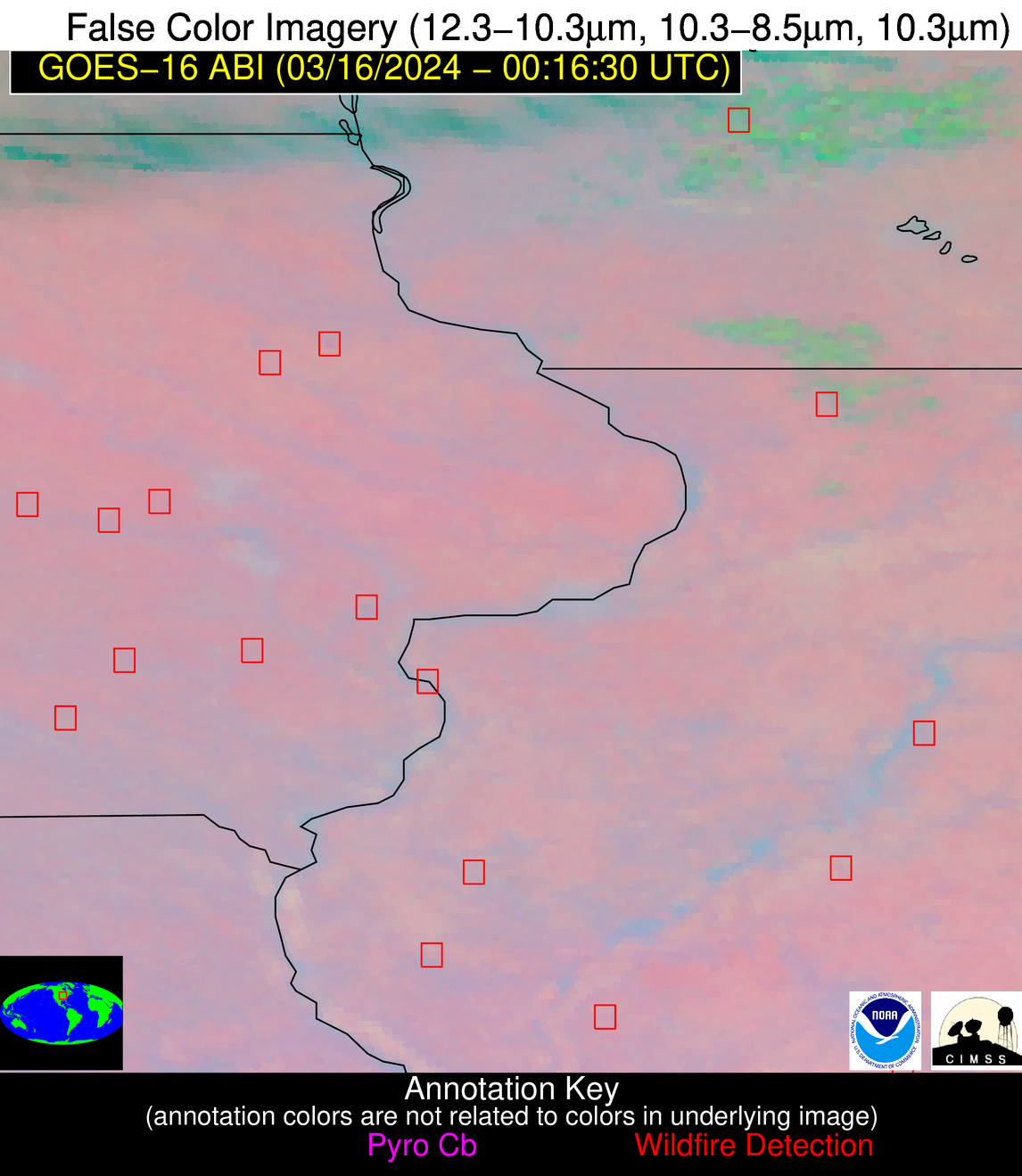
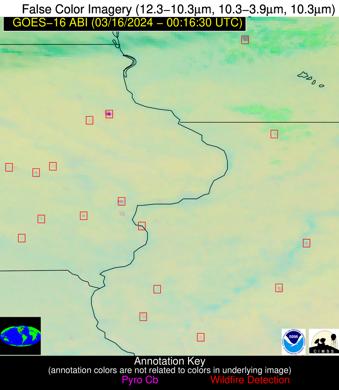
Wildfire Alert Report
| Date: | 2024-03-16 |
|---|---|
| Time: | 00:16:17 |
| Production Date and Time: | 2024-03-16 00:20:57 UTC |
| Primary Instrument: | GOES-16 ABI |
| Wmo Spacecraft Id: | 152 |
| Location/orbit: | GEO |
| L1 File: | OR_ABI-L1b-RadC-M6C14_G16_s20240760016174_e20240760018547_c20240760019036.nc |
| L1 File(s) - Temporal | OR_ABI-L1b-RadC-M6C14_G16_s20240760011174_e20240760013547_c20240760014017.nc |
| Number Of Thermal Anomaly Alerts: | 5 |
Possible Wildfire
| Basic Information | |
|---|---|
| State/Province(s) | WI |
| Country/Countries | USA |
| County/Locality(s) | Sauk County, WI |
| NWS WFO | Milwaukee/Sullivan WI |
| Identification Method | Enhanced Contextual (Clear) |
| Mean Object Date/Time | 2024-03-16 00:16:21UTC |
| Radiative Center (Lat, Lon): | 43.560000°, -89.990000° |
| Nearby Counties (meeting alert criteria): |
|
| Total Radiative Power Anomaly | n/a |
| Total Radiative Power | 66.52 MW |
| Map: | |
| Additional Information | |
| Alert Status | New Feature |
| Type of Event | Nominal Risk |
| Event Priority Ranking | 4 |
| Maximum Observed BT (3.9 um) | 286.70 K |
| Observed - Background BT (3.9 um) | 11.99 K |
| BT Anomaly (3.9 um) | 12.82 K |
| Maximum Observed - Clear RTM BT (3.9 um) | 9.99 K |
| Maximum Observed BTD (3.9-10/11/12 um) | 13.58 K |
| Observed - Background BTD (3.9-10/11/12 um) | 12.29 K |
| BTD Anomaly (3.9-10/11/12 um) | 18.97 K |
| Similar Pixel Count | 4 |
| BT Time Tendency (3.9 um) | 12.20 K |
| Image Interval | 5.00 minutes |
| Fraction of Surrounding LWIR Pixels that are Colder | 0.50 |
| Fraction of Surrounding Red Channel Pixels that are Brighter | 1.00 |
| Maximum Radiative Power | 23.93 MW |
| Maximum Radiative Power Uncertainty | 0.00 MW |
| Total Radiative Power Uncertainty | 0.00 MW |
| Mean Viewing Angle | 52.70° |
| Mean Solar Zenith Angle | 92.60° |
| Mean Glint Angle | 75.10° |
| Water Fraction | 0.00 |
| Total Pixel Area | 30.60 km2 |
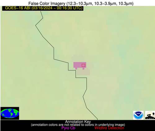
| Latest Satellite Imagery: | |
| View all event imagery » | |
Possible Wildfire
| Basic Information | |
|---|---|
| State/Province(s) | IA |
| Country/Countries | USA |
| County/Locality(s) | Monona County, IA |
| NWS WFO | Omaha/Valley NE |
| Identification Method | Enhanced Contextual (Clear) |
| Mean Object Date/Time | 2024-03-16 00:16:50UTC |
| Radiative Center (Lat, Lon): | 42.020000°, -96.150000° |
| Nearby Counties (meeting alert criteria): |
|
| Total Radiative Power Anomaly | n/a |
| Total Radiative Power | 48.81 MW |
| Map: | |
| Additional Information | |
| Alert Status | New Feature |
| Type of Event | Nominal Risk |
| Event Priority Ranking | 4 |
| Maximum Observed BT (3.9 um) | 289.05 K |
| Observed - Background BT (3.9 um) | 12.57 K |
| BT Anomaly (3.9 um) | 18.90 K |
| Maximum Observed - Clear RTM BT (3.9 um) | 9.41 K |
| Maximum Observed BTD (3.9-10/11/12 um) | 11.60 K |
| Observed - Background BTD (3.9-10/11/12 um) | 11.69 K |
| BTD Anomaly (3.9-10/11/12 um) | 55.00 K |
| Similar Pixel Count | 2 |
| BT Time Tendency (3.9 um) | 6.40 K |
| Image Interval | 5.00 minutes |
| Fraction of Surrounding LWIR Pixels that are Colder | 0.91 |
| Fraction of Surrounding Red Channel Pixels that are Brighter | 0.95 |
| Maximum Radiative Power | 26.55 MW |
| Maximum Radiative Power Uncertainty | 0.00 MW |
| Total Radiative Power Uncertainty | 0.00 MW |
| Mean Viewing Angle | 53.30° |
| Mean Solar Zenith Angle | 88.10° |
| Mean Glint Angle | 68.50° |
| Water Fraction | 0.00 |
| Total Pixel Area | 16.00 km2 |
| Latest Satellite Imagery: | |
| View all event imagery » | |
Possible Wildfire
| Basic Information | |
|---|---|
| State/Province(s) | IA |
| Country/Countries | USA |
| County/Locality(s) | Iowa County, IA |
| NWS WFO | Quad Cities IL |
| Identification Method | Enhanced Contextual (Clear) |
| Mean Object Date/Time | 2024-03-16 00:16:51UTC |
| Radiative Center (Lat, Lon): | 41.850000°, -92.040000° |
| Nearby Counties (meeting alert criteria): |
|
| Total Radiative Power Anomaly | n/a |
| Total Radiative Power | 9.93 MW |
| Map: | |
| Additional Information | |
| Alert Status | New Feature |
| Type of Event | Nominal Risk |
| Event Priority Ranking | 4 |
| Maximum Observed BT (3.9 um) | 282.88 K |
| Observed - Background BT (3.9 um) | 6.82 K |
| BT Anomaly (3.9 um) | 8.78 K |
| Maximum Observed - Clear RTM BT (3.9 um) | 4.39 K |
| Maximum Observed BTD (3.9-10/11/12 um) | 6.07 K |
| Observed - Background BTD (3.9-10/11/12 um) | 6.54 K |
| BTD Anomaly (3.9-10/11/12 um) | 15.36 K |
| Similar Pixel Count | 1 |
| BT Time Tendency (3.9 um) | 5.90 K |
| Image Interval | 5.00 minutes |
| Fraction of Surrounding LWIR Pixels that are Colder | 0.75 |
| Fraction of Surrounding Red Channel Pixels that are Brighter | 1.00 |
| Maximum Radiative Power | 9.93 MW |
| Maximum Radiative Power Uncertainty | 0.00 MW |
| Total Radiative Power Uncertainty | 0.00 MW |
| Mean Viewing Angle | 51.60° |
| Mean Solar Zenith Angle | 91.10° |
| Mean Glint Angle | 72.90° |
| Water Fraction | 0.00 |
| Total Pixel Area | 7.50 km2 |
| Latest Satellite Imagery: | |
| View all event imagery » | |
Possible Wildfire
| Basic Information | |
|---|---|
| State/Province(s) | IL |
| Country/Countries | USA |
| County/Locality(s) | Marshall County, IL |
| NWS WFO | Lincoln IL |
| Identification Method | Enhanced Contextual (Clear) |
| Mean Object Date/Time | 2024-03-16 00:16:51UTC |
| Radiative Center (Lat, Lon): | 40.950000°, -89.390000° |
| Nearby Counties (meeting alert criteria): |
|
| Total Radiative Power Anomaly | n/a |
| Total Radiative Power | 8.91 MW |
| Map: | |
| Additional Information | |
| Alert Status | New Feature |
| Type of Event | Nominal Risk |
| Event Priority Ranking | 4 |
| Maximum Observed BT (3.9 um) | 284.04 K |
| Observed - Background BT (3.9 um) | 6.86 K |
| BT Anomaly (3.9 um) | 4.86 K |
| Maximum Observed - Clear RTM BT (3.9 um) | 5.83 K |
| Maximum Observed BTD (3.9-10/11/12 um) | 5.84 K |
| Observed - Background BTD (3.9-10/11/12 um) | 5.88 K |
| BTD Anomaly (3.9-10/11/12 um) | 11.89 K |
| Similar Pixel Count | 1 |
| BT Time Tendency (3.9 um) | 4.40 K |
| Image Interval | 5.00 minutes |
| Fraction of Surrounding LWIR Pixels that are Colder | 0.81 |
| Fraction of Surrounding Red Channel Pixels that are Brighter | 1.00 |
| Maximum Radiative Power | 8.91 MW |
| Maximum Radiative Power Uncertainty | 0.00 MW |
| Total Radiative Power Uncertainty | 0.00 MW |
| Mean Viewing Angle | 49.80° |
| Mean Solar Zenith Angle | 93.10° |
| Mean Glint Angle | 75.90° |
| Water Fraction | 0.00 |
| Total Pixel Area | 7.10 km2 |
| Latest Satellite Imagery: | |
| View all event imagery » | |
Possible Wildfire
| Basic Information | |
|---|---|
| State/Province(s) | IL |
| Country/Countries | USA |
| County/Locality(s) | Scott County, IL |
| NWS WFO | Lincoln IL |
| Identification Method | Enhanced Contextual (Clear) |
| Mean Object Date/Time | 2024-03-16 00:16:51UTC |
| Radiative Center (Lat, Lon): | 39.740000°, -90.430000° |
| Nearby Counties (meeting alert criteria): |
|
| Total Radiative Power Anomaly | n/a |
| Total Radiative Power | 5.13 MW |
| Map: | |
| Additional Information | |
| Alert Status | New Feature |
| Type of Event | Nominal Risk |
| Event Priority Ranking | 4 |
| Maximum Observed BT (3.9 um) | 281.83 K |
| Observed - Background BT (3.9 um) | 3.00 K |
| BT Anomaly (3.9 um) | 5.87 K |
| Maximum Observed - Clear RTM BT (3.9 um) | 2.38 K |
| Maximum Observed BTD (3.9-10/11/12 um) | 3.10 K |
| Observed - Background BTD (3.9-10/11/12 um) | 3.24 K |
| BTD Anomaly (3.9-10/11/12 um) | 16.09 K |
| Similar Pixel Count | 1 |
| BT Time Tendency (3.9 um) | 1.90 K |
| Image Interval | 5.00 minutes |
| Fraction of Surrounding LWIR Pixels that are Colder | 0.30 |
| Fraction of Surrounding Red Channel Pixels that are Brighter | 1.00 |
| Maximum Radiative Power | 5.13 MW |
| Maximum Radiative Power Uncertainty | 0.00 MW |
| Total Radiative Power Uncertainty | 0.00 MW |
| Mean Viewing Angle | 48.90° |
| Mean Solar Zenith Angle | 92.30° |
| Mean Glint Angle | 74.70° |
| Water Fraction | 0.00 |
| Total Pixel Area | 6.90 km2 |
| Latest Satellite Imagery: | |
| View all event imagery » | |


