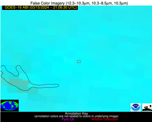
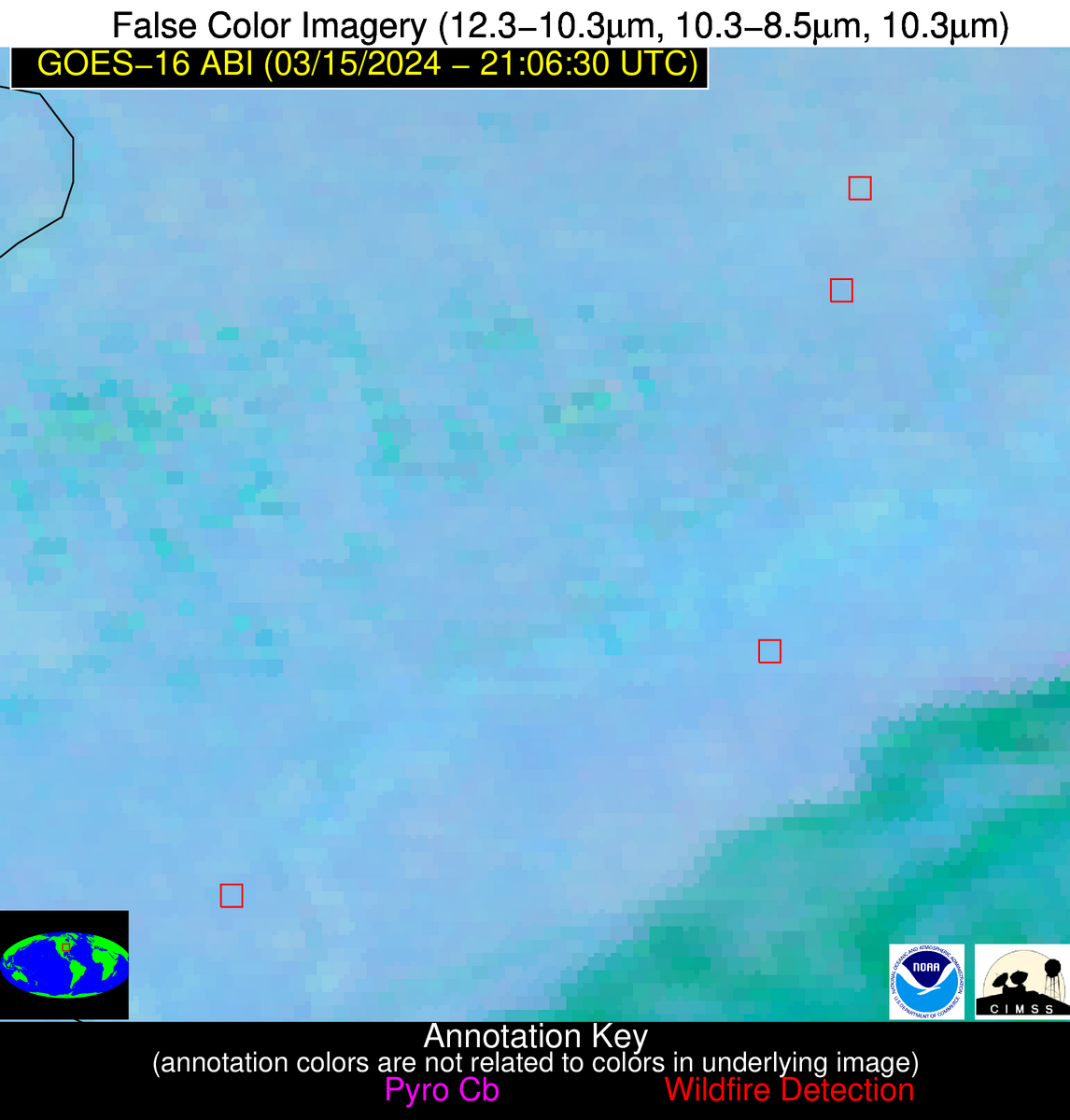
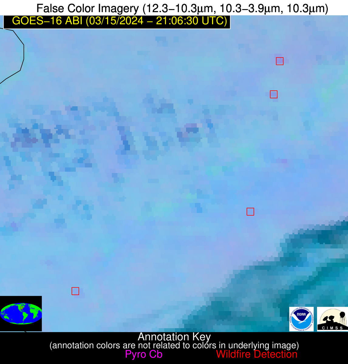
Wildfire Alert Report
| Date: | 2024-03-15 |
|---|---|
| Time: | 21:06:17 |
| Production Date and Time: | 2024-03-15 21:13:21 UTC |
| Primary Instrument: | GOES-16 ABI |
| Wmo Spacecraft Id: | 152 |
| Location/orbit: | GEO |
| L1 File: | OR_ABI-L1b-RadC-M6C14_G16_s20240752106174_e20240752108547_c20240752109034.nc |
| L1 File(s) - Temporal | OR_ABI-L1b-RadC-M6C14_G16_s20240752101174_e20240752103547_c20240752104031.nc |
| Number Of Thermal Anomaly Alerts: | 5 |
Possible Wildfire
| Basic Information | |
|---|---|
| State/Province(s) | WA |
| Country/Countries | USA |
| County/Locality(s) | Grant County, WA |
| NWS WFO | Spokane WA |
| Identification Method | Enhanced Contextual (Clear) |
| Mean Object Date/Time | 2024-03-15 21:06:19UTC |
| Radiative Center (Lat, Lon): | 47.120°, -119.050° |
| Nearby Counties (meeting alert criteria): |
|
| Total Radiative Power Anomaly | n/a |
| Total Radiative Power | 31.07 MW |
| Map: | |
| Additional Information | |
| Alert Status | New Feature |
| Type of Event | Nominal Risk |
| Event Priority Ranking | 4 |
| Maximum Observed BT (3.9 um) | 305.22 K |
| Observed - Background BT (3.9 um) | 5.65 K |
| BT Anomaly (3.9 um) | 3.95 K |
| Maximum Observed - Clear RTM BT (3.9 um) | 21.36 K |
| Maximum Observed BTD (3.9-10/11/12 um) | 15.89 K |
| Observed - Background BTD (3.9-10/11/12 um) | 4.35 K |
| BTD Anomaly (3.9-10/11/12 um) | 5.70 K |
| Similar Pixel Count | 25 |
| BT Time Tendency (3.9 um) | 2.80 K |
| Image Interval | 5.00 minutes |
| Fraction of Surrounding LWIR Pixels that are Colder | 0.94 |
| Fraction of Surrounding Red Channel Pixels that are Brighter | 0.98 |
| Maximum Radiative Power | 31.07 MW |
| Maximum Radiative Power Uncertainty | 0.00 MW |
| Total Radiative Power Uncertainty | 0.00 MW |
| Mean Viewing Angle | 69.20° |
| Mean Solar Zenith Angle | 51.10° |
| Mean Glint Angle | 89.80° |
| Water Fraction | 0.00 |
| Total Pixel Area | 19.80 km2 |
| Latest Satellite Imagery: | |
| View all event imagery » | |
Possible Wildfire
| Basic Information | |
|---|---|
| State/Province(s) | IL |
| Country/Countries | USA |
| County/Locality(s) | Stark County, IL |
| NWS WFO | Lincoln IL |
| Identification Method | Enhanced Contextual (Clear) |
| Mean Object Date/Time | 2024-03-15 21:06:51UTC |
| Radiative Center (Lat, Lon): | 40.990°, -89.770° |
| Nearby Counties (meeting alert criteria): |
|
| Total Radiative Power Anomaly | n/a |
| Total Radiative Power | 13.13 MW |
| Map: | |
| Additional Information | |
| Alert Status | New Feature |
| Type of Event | Nominal Risk |
| Event Priority Ranking | 4 |
| Maximum Observed BT (3.9 um) | 297.35 K |
| Observed - Background BT (3.9 um) | 4.45 K |
| BT Anomaly (3.9 um) | 4.36 K |
| Maximum Observed - Clear RTM BT (3.9 um) | 14.96 K |
| Maximum Observed BTD (3.9-10/11/12 um) | 11.54 K |
| Observed - Background BTD (3.9-10/11/12 um) | 4.82 K |
| BTD Anomaly (3.9-10/11/12 um) | 6.16 K |
| Similar Pixel Count | 5 |
| BT Time Tendency (3.9 um) | 2.60 K |
| Image Interval | 5.00 minutes |
| Fraction of Surrounding LWIR Pixels that are Colder | 0.25 |
| Fraction of Surrounding Red Channel Pixels that are Brighter | 1.00 |
| Maximum Radiative Power | 13.13 MW |
| Maximum Radiative Power Uncertainty | 0.00 MW |
| Total Radiative Power Uncertainty | 0.00 MW |
| Mean Viewing Angle | 49.90° |
| Mean Solar Zenith Angle | 59.20° |
| Mean Glint Angle | 80.00° |
| Water Fraction | 0.00 |
| Total Pixel Area | 7.10 km2 |
| Latest Satellite Imagery: | |
| View all event imagery » | |
Possible Wildfire
| Basic Information | |
|---|---|
| State/Province(s) | IL |
| Country/Countries | USA |
| County/Locality(s) | Pike County, IL |
| NWS WFO | St Louis MO |
| Identification Method | Enhanced Contextual (Clear) |
| Mean Object Date/Time | 2024-03-15 21:06:51UTC |
| Radiative Center (Lat, Lon): | 39.640°, -90.710° |
| Nearby Counties (meeting alert criteria): |
|
| Total Radiative Power Anomaly | n/a |
| Total Radiative Power | 5.40 MW |
| Map: | |
| Additional Information | |
| Alert Status | New Feature |
| Type of Event | Nominal Risk |
| Event Priority Ranking | 4 |
| Maximum Observed BT (3.9 um) | 295.97 K |
| Observed - Background BT (3.9 um) | 2.48 K |
| BT Anomaly (3.9 um) | 3.95 K |
| Maximum Observed - Clear RTM BT (3.9 um) | 12.60 K |
| Maximum Observed BTD (3.9-10/11/12 um) | 8.08 K |
| Observed - Background BTD (3.9-10/11/12 um) | 2.15 K |
| BTD Anomaly (3.9-10/11/12 um) | 5.06 K |
| Similar Pixel Count | 24 |
| BT Time Tendency (3.9 um) | 1.90 K |
| Image Interval | 5.00 minutes |
| Fraction of Surrounding LWIR Pixels that are Colder | 0.87 |
| Fraction of Surrounding Red Channel Pixels that are Brighter | 1.00 |
| Maximum Radiative Power | 5.40 MW |
| Maximum Radiative Power Uncertainty | 0.00 MW |
| Total Radiative Power Uncertainty | 0.00 MW |
| Mean Viewing Angle | 48.80° |
| Mean Solar Zenith Angle | 57.80° |
| Mean Glint Angle | 77.40° |
| Water Fraction | 0.00 |
| Total Pixel Area | 6.90 km2 |
| Latest Satellite Imagery: | |
| View all event imagery » | |
Possible Wildfire
| Basic Information | |
|---|---|
| State/Province(s) | KS |
| Country/Countries | USA |
| County/Locality(s) | Neosho County, KS |
| NWS WFO | Wichita KS |
| Identification Method | Enhanced Contextual (Clear) |
| Mean Object Date/Time | 2024-03-15 21:06:50UTC |
| Radiative Center (Lat, Lon): | 37.550°, -95.430° |
| Nearby Counties (meeting alert criteria): |
|
| Total Radiative Power Anomaly | n/a |
| Total Radiative Power | 10.94 MW |
| Map: | |
| Additional Information | |
| Alert Status | New Feature |
| Type of Event | Nominal Risk |
| Event Priority Ranking | 4 |
| Maximum Observed BT (3.9 um) | 299.96 K |
| Observed - Background BT (3.9 um) | 3.92 K |
| BT Anomaly (3.9 um) | 5.18 K |
| Maximum Observed - Clear RTM BT (3.9 um) | 14.56 K |
| Maximum Observed BTD (3.9-10/11/12 um) | 11.08 K |
| Observed - Background BTD (3.9-10/11/12 um) | 3.82 K |
| BTD Anomaly (3.9-10/11/12 um) | 10.19 K |
| Similar Pixel Count | 18 |
| BT Time Tendency (3.9 um) | 2.70 K |
| Image Interval | 5.00 minutes |
| Fraction of Surrounding LWIR Pixels that are Colder | 0.59 |
| Fraction of Surrounding Red Channel Pixels that are Brighter | 1.00 |
| Maximum Radiative Power | 10.94 MW |
| Maximum Radiative Power Uncertainty | 0.00 MW |
| Total Radiative Power Uncertainty | 0.00 MW |
| Mean Viewing Angle | 48.70° |
| Mean Solar Zenith Angle | 53.60° |
| Mean Glint Angle | 71.90° |
| Water Fraction | 0.00 |
| Total Pixel Area | 7.00 km2 |
| Latest Satellite Imagery: | |
| View all event imagery » | |
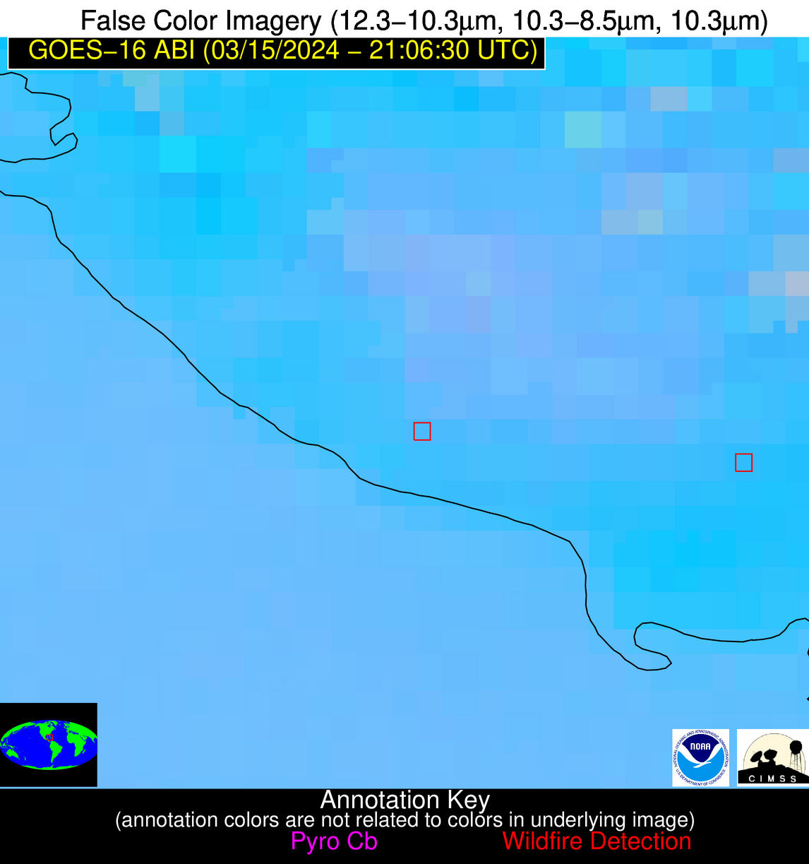
Possible Wildfire
| Basic Information | |
|---|---|
| State/Province(s) | Unknown |
| Country/Countries | Cuba |
| County/Locality(s) | Cuba |
| NWS WFO | N/A |
| Identification Method | Enhanced Contextual (Clear) |
| Mean Object Date/Time | 2024-03-15 21:08:22UTC |
| Radiative Center (Lat, Lon): | 21.880°, -80.160° |
| Nearby Counties (meeting alert criteria): |
|
| Total Radiative Power Anomaly | n/a |
| Total Radiative Power | 19.28 MW |
| Map: | |
| Additional Information | |
| Alert Status | New Feature |
| Type of Event | Nominal Risk |
| Event Priority Ranking | 4 |
| Maximum Observed BT (3.9 um) | 309.04 K |
| Observed - Background BT (3.9 um) | 8.56 K |
| BT Anomaly (3.9 um) | 3.18 K |
| Maximum Observed - Clear RTM BT (3.9 um) | 11.77 K |
| Maximum Observed BTD (3.9-10/11/12 um) | 12.87 K |
| Observed - Background BTD (3.9-10/11/12 um) | 7.76 K |
| BTD Anomaly (3.9-10/11/12 um) | 4.54 K |
| Similar Pixel Count | 2 |
| BT Time Tendency (3.9 um) | 6.50 K |
| Image Interval | 5.00 minutes |
| Fraction of Surrounding LWIR Pixels that are Colder | 0.81 |
| Fraction of Surrounding Red Channel Pixels that are Brighter | 1.00 |
| Maximum Radiative Power | 19.28 MW |
| Maximum Radiative Power Uncertainty | 0.00 MW |
| Total Radiative Power Uncertainty | 0.00 MW |
| Mean Viewing Angle | 26.40° |
| Mean Solar Zenith Angle | 58.10° |
| Mean Glint Angle | 63.60° |
| Water Fraction | 0.00 |
| Total Pixel Area | 4.60 km2 |
| Latest Satellite Imagery: | |
| View all event imagery » | |
