Wildfire Alert Report
| Date: | 2024-03-14 |
|---|---|
| Time: | 14:26:17 |
| Production Date and Time: | 2024-03-14 14:30:49 UTC |
| Primary Instrument: | GOES-16 ABI |
| Wmo Spacecraft Id: | 152 |
| Location/orbit: | GEO |
| L1 File: | OR_ABI-L1b-RadC-M6C14_G16_s20240741426174_e20240741428547_c20240741429030.nc |
| L1 File(s) - Temporal | OR_ABI-L1b-RadC-M6C14_G16_s20240741421174_e20240741423547_c20240741424026.nc |
| Number Of Thermal Anomaly Alerts: | 2 |
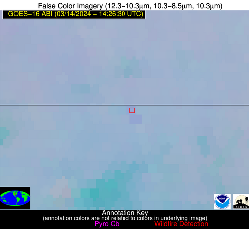
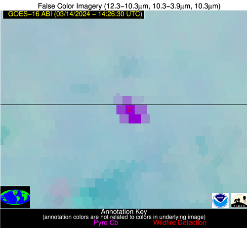
Possible Wildfire
| Basic Information | |
|---|---|
| State/Province(s) | OK |
| Country/Countries | USA |
| County/Locality(s) | Grant County, OK |
| NWS WFO | Norman OK |
| Identification Method | Enhanced Contextual (Cloud) |
| Mean Object Date/Time | 2024-03-14 14:26:50UTC |
| Radiative Center (Lat, Lon): | 36.990000°, -98.060000° |
| Nearby Counties (meeting alert criteria): |
|
| Total Radiative Power Anomaly | n/a |
| Total Radiative Power | 352.56 MW |
| Map: | |
| Additional Information | |
| Alert Status | New Feature |
| Type of Event | Nominal Risk |
| Event Priority Ranking | 4 |
| Maximum Observed BT (3.9 um) | 328.68 K |
| Observed - Background BT (3.9 um) | 41.94 K |
| BT Anomaly (3.9 um) | 98.49 K |
| Maximum Observed - Clear RTM BT (3.9 um) | 43.70 K |
| Maximum Observed BTD (3.9-10/11/12 um) | 45.09 K |
| Observed - Background BTD (3.9-10/11/12 um) | 40.47 K |
| BTD Anomaly (3.9-10/11/12 um) | 73.41 K |
| Similar Pixel Count | 0 |
| BT Time Tendency (3.9 um) | 36.80 K |
| Image Interval | 5.00 minutes |
| Fraction of Surrounding LWIR Pixels that are Colder | 1.00 |
| Fraction of Surrounding Red Channel Pixels that are Brighter | 0.87 |
| Maximum Radiative Power | 243.06 MW |
| Maximum Radiative Power Uncertainty | 0.00 MW |
| Total Radiative Power Uncertainty | 0.00 MW |
| Mean Viewing Angle | 49.40° |
| Mean Solar Zenith Angle | 71.00° |
| Mean Glint Angle | 111.50° |
| Water Fraction | 0.00 |
| Total Pixel Area | 21.80 km2 |
| Latest Satellite Imagery: | |
| View all event imagery » | |
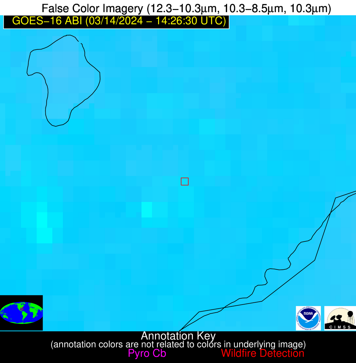
Possible Wildfire
| Basic Information | |
|---|---|
| State/Province(s) | FL |
| Country/Countries | USA |
| County/Locality(s) | Glades County, FL |
| NWS WFO | Tampa Bay Ruskin FL |
| Identification Method | Enhanced Contextual (Clear) |
| Mean Object Date/Time | 2024-03-14 14:27:52UTC |
| Radiative Center (Lat, Lon): | 27.210000°, -81.090000° |
| Nearby Counties (meeting alert criteria): |
|
| Total Radiative Power Anomaly | n/a |
| Total Radiative Power | 15.47 MW |
| Map: | |
| Additional Information | |
| Alert Status | New Feature |
| Type of Event | Nominal Risk |
| Event Priority Ranking | 4 |
| Maximum Observed BT (3.9 um) | 305.50 K |
| Observed - Background BT (3.9 um) | 6.12 K |
| BT Anomaly (3.9 um) | 6.35 K |
| Maximum Observed - Clear RTM BT (3.9 um) | 10.80 K |
| Maximum Observed BTD (3.9-10/11/12 um) | 14.52 K |
| Observed - Background BTD (3.9-10/11/12 um) | 5.63 K |
| BTD Anomaly (3.9-10/11/12 um) | 7.70 K |
| Similar Pixel Count | 10 |
| BT Time Tendency (3.9 um) | 5.20 K |
| Image Interval | 5.00 minutes |
| Fraction of Surrounding LWIR Pixels that are Colder | 0.81 |
| Fraction of Surrounding Red Channel Pixels that are Brighter | 0.94 |
| Maximum Radiative Power | 15.47 MW |
| Maximum Radiative Power Uncertainty | 0.00 MW |
| Total Radiative Power Uncertainty | 0.00 MW |
| Mean Viewing Angle | 32.60° |
| Mean Solar Zenith Angle | 54.00° |
| Mean Glint Angle | 77.10° |
| Water Fraction | 0.00 |
| Total Pixel Area | 5.00 km2 |
| Latest Satellite Imagery: | |
| View all event imagery » | |


