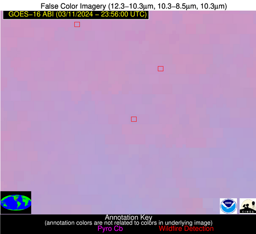
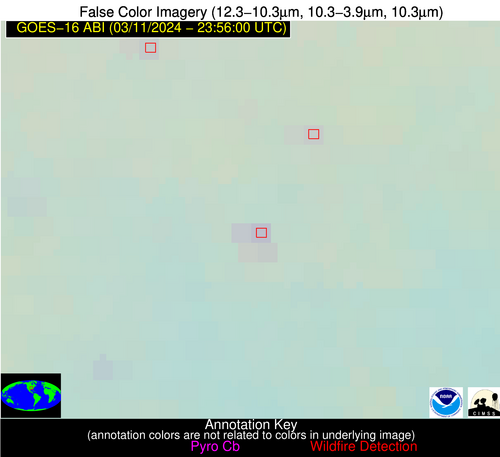
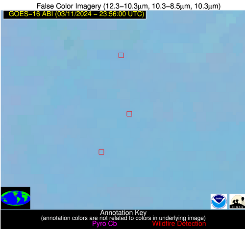
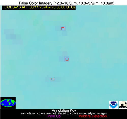
Wildfire Alert Report
| Date: | 2024-03-11 |
|---|---|
| Time: | 23:55:55 |
| Production Date and Time: | 2024-03-11 23:56:35 UTC |
| Primary Instrument: | GOES-16 ABI |
| Wmo Spacecraft Id: | 152 |
| Location/orbit: | GEO |
| L1 File: | OR_ABI-L1b-RadM2-M6C14_G16_s20240712355551_e20240712356009_c20240712356063.nc |
| L1 File(s) - Temporal | OR_ABI-L1b-RadM2-M6C14_G16_s20240712352551_e20240712353009_c20240712353060.nc |
| Number Of Thermal Anomaly Alerts: | 4 |
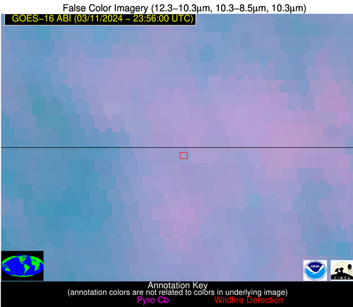
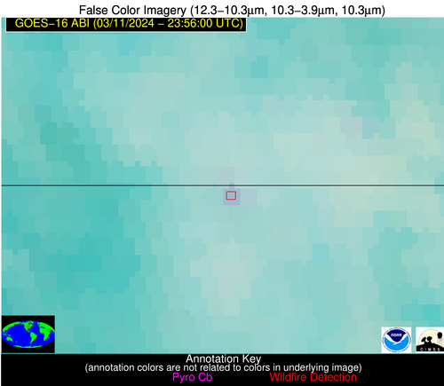
Possible Wildfire
| Basic Information | |
|---|---|
| State/Province(s) | MO |
| Country/Countries | USA |
| County/Locality(s) | Mercer County, MO |
| NWS WFO | Kansas City/Pleasant Hill MO |
| Identification Method | Enhanced Contextual (Clear) |
| Mean Object Date/Time | 2024-03-11 23:55:58UTC |
| Radiative Center (Lat, Lon): | 40.570000°, -93.700000° |
| Nearby Counties (meeting alert criteria): |
|
| Total Radiative Power Anomaly | n/a |
| Total Radiative Power | 6.69 MW |
| Map: | |
| Additional Information | |
| Alert Status | New Feature |
| Type of Event | Nominal Risk |
| Event Priority Ranking | 4 |
| Maximum Observed BT (3.9 um) | 287.77 K |
| Observed - Background BT (3.9 um) | 3.40 K |
| BT Anomaly (3.9 um) | 18.01 K |
| Maximum Observed - Clear RTM BT (3.9 um) | 4.28 K |
| Maximum Observed BTD (3.9-10/11/12 um) | 5.28 K |
| Observed - Background BTD (3.9-10/11/12 um) | 3.19 K |
| BTD Anomaly (3.9-10/11/12 um) | 4.18 K |
| Similar Pixel Count | 1 |
| BT Time Tendency (3.9 um) | -0.30 K |
| Image Interval | 3.00 minutes |
| Fraction of Surrounding LWIR Pixels that are Colder | 0.62 |
| Fraction of Surrounding Red Channel Pixels that are Brighter | 1.00 |
| Maximum Radiative Power | 6.69 MW |
| Maximum Radiative Power Uncertainty | 0.00 MW |
| Total Radiative Power Uncertainty | 0.00 MW |
| Mean Viewing Angle | 50.90° |
| Mean Solar Zenith Angle | 87.00° |
| Mean Glint Angle | 72.90° |
| Water Fraction | 0.00 |
| Total Pixel Area | 7.40 km2 |
| Latest Satellite Imagery: | |
| View all event imagery » | |
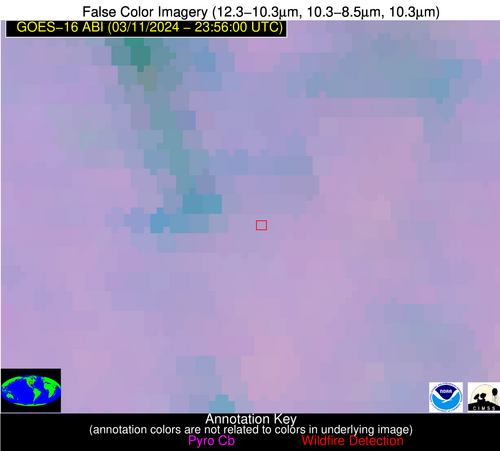
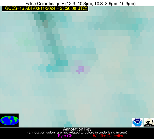
Possible Wildfire
| Basic Information | |
|---|---|
| State/Province(s) | KS |
| Country/Countries | USA |
| County/Locality(s) | Coffey County, KS |
| NWS WFO | Topeka KS |
| Identification Method | Enhanced Contextual (Clear) |
| Mean Object Date/Time | 2024-03-11 23:56:01UTC |
| Radiative Center (Lat, Lon): | 38.130000°, -95.580000° |
| Nearby Counties (meeting alert criteria): |
|
| Total Radiative Power Anomaly | n/a |
| Total Radiative Power | 15.81 MW |
| Map: | |
| Additional Information | |
| Alert Status | New Feature |
| Type of Event | Nominal Risk |
| Event Priority Ranking | 4 |
| Maximum Observed BT (3.9 um) | 291.90 K |
| Observed - Background BT (3.9 um) | 7.61 K |
| BT Anomaly (3.9 um) | 18.92 K |
| Maximum Observed - Clear RTM BT (3.9 um) | 8.70 K |
| Maximum Observed BTD (3.9-10/11/12 um) | 8.92 K |
| Observed - Background BTD (3.9-10/11/12 um) | 7.20 K |
| BTD Anomaly (3.9-10/11/12 um) | 10.16 K |
| Similar Pixel Count | 2 |
| BT Time Tendency (3.9 um) | 7.00 K |
| Image Interval | 3.00 minutes |
| Fraction of Surrounding LWIR Pixels that are Colder | 0.69 |
| Fraction of Surrounding Red Channel Pixels that are Brighter | 1.00 |
| Maximum Radiative Power | 15.81 MW |
| Maximum Radiative Power Uncertainty | 0.00 MW |
| Total Radiative Power Uncertainty | 0.00 MW |
| Mean Viewing Angle | 49.30° |
| Mean Solar Zenith Angle | 85.20° |
| Mean Glint Angle | 70.00° |
| Water Fraction | 0.00 |
| Total Pixel Area | 7.20 km2 |
| Latest Satellite Imagery: | |
| View all event imagery » | |
Possible Wildfire
| Basic Information | |
|---|---|
| State/Province(s) | MO |
| Country/Countries | USA |
| County/Locality(s) | Douglas County, MO |
| NWS WFO | Springfield MO |
| Identification Method | Enhanced Contextual (Clear) |
| Mean Object Date/Time | 2024-03-11 23:56:01UTC |
| Radiative Center (Lat, Lon): | 37.030000°, -92.370000° |
| Nearby Counties (meeting alert criteria): |
|
| Total Radiative Power Anomaly | n/a |
| Total Radiative Power | 6.41 MW |
| Map: | |
| Additional Information | |
| Alert Status | New Feature |
| Type of Event | Nominal Risk |
| Event Priority Ranking | 4 |
| Maximum Observed BT (3.9 um) | 286.83 K |
| Observed - Background BT (3.9 um) | 3.55 K |
| BT Anomaly (3.9 um) | 4.34 K |
| Maximum Observed - Clear RTM BT (3.9 um) | 7.03 K |
| Maximum Observed BTD (3.9-10/11/12 um) | 4.14 K |
| Observed - Background BTD (3.9-10/11/12 um) | 3.68 K |
| BTD Anomaly (3.9-10/11/12 um) | 17.28 K |
| Similar Pixel Count | 1 |
| BT Time Tendency (3.9 um) | 0.20 K |
| Image Interval | 3.00 minutes |
| Fraction of Surrounding LWIR Pixels that are Colder | 0.49 |
| Fraction of Surrounding Red Channel Pixels that are Brighter | 1.00 |
| Maximum Radiative Power | 6.41 MW |
| Maximum Radiative Power Uncertainty | 0.00 MW |
| Total Radiative Power Uncertainty | 0.00 MW |
| Mean Viewing Angle | 46.80° |
| Mean Solar Zenith Angle | 87.60° |
| Mean Glint Angle | 73.40° |
| Water Fraction | 0.00 |
| Total Pixel Area | 6.70 km2 |
| Latest Satellite Imagery: | |
| View all event imagery » | |
Possible Wildfire
| Basic Information | |
|---|---|
| State/Province(s) | OK |
| Country/Countries | USA |
| County/Locality(s) | Pittsburg County, OK |
| NWS WFO | Tulsa OK |
| Identification Method | Enhanced Contextual (Clear) |
| Mean Object Date/Time | 2024-03-11 23:56:00UTC |
| Radiative Center (Lat, Lon): | 35.110000°, -95.400000° |
| Nearby Counties (meeting alert criteria): |
|
| Total Radiative Power Anomaly | n/a |
| Total Radiative Power | 8.31 MW |
| Map: | |
| Additional Information | |
| Alert Status | New Feature |
| Type of Event | Nominal Risk |
| Event Priority Ranking | 4 |
| Maximum Observed BT (3.9 um) | 290.33 K |
| Observed - Background BT (3.9 um) | 4.28 K |
| BT Anomaly (3.9 um) | 8.88 K |
| Maximum Observed - Clear RTM BT (3.9 um) | 6.39 K |
| Maximum Observed BTD (3.9-10/11/12 um) | 6.44 K |
| Observed - Background BTD (3.9-10/11/12 um) | 4.02 K |
| BTD Anomaly (3.9-10/11/12 um) | 11.72 K |
| Similar Pixel Count | 1 |
| BT Time Tendency (3.9 um) | -0.40 K |
| Image Interval | 3.00 minutes |
| Fraction of Surrounding LWIR Pixels that are Colder | 0.75 |
| Fraction of Surrounding Red Channel Pixels that are Brighter | 1.00 |
| Maximum Radiative Power | 8.31 MW |
| Maximum Radiative Power Uncertainty | 0.00 MW |
| Total Radiative Power Uncertainty | 0.00 MW |
| Mean Viewing Angle | 46.30° |
| Mean Solar Zenith Angle | 84.90° |
| Mean Glint Angle | 69.00° |
| Water Fraction | 0.00 |
| Total Pixel Area | 6.60 km2 |
| Latest Satellite Imagery: | |
| View all event imagery » | |
