Wildfire Alert Report
| Date: | 2024-03-11 |
|---|---|
| Time: | 23:06:26 |
| Production Date and Time: | 2024-03-11 23:07:17 UTC |
| Primary Instrument: | GOES-18 ABI |
| Wmo Spacecraft Id: | 665 |
| Location/orbit: | GEO |
| L1 File: | OR_ABI-L1b-RadM1-M6C14_G18_s20240712306260_e20240712306318_c20240712306369.nc |
| L1 File(s) - Temporal | OR_ABI-L1b-RadM1-M6C14_G18_s20240712304260_e20240712304318_c20240712304376.nc |
| Number Of Thermal Anomaly Alerts: | 3 |
Possible Wildfire
| Basic Information | |
|---|---|
| State/Province(s) | MO |
| Country/Countries | USA |
| County/Locality(s) | Harrison County, MO |
| NWS WFO | Kansas City/Pleasant Hill MO |
| Identification Method | Enhanced Contextual (Clear) |
| Mean Object Date/Time | 2024-03-11 23:06:28UTC |
| Radiative Center (Lat, Lon): | 40.300000°, -94.080000° |
| Nearby Counties (meeting alert criteria): |
|
| Total Radiative Power Anomaly | n/a |
| Total Radiative Power | 55.76 MW |
| Map: | |
| Additional Information | |
| Alert Status | New Feature |
| Type of Event | Elevated SPC Risk |
| Event Priority Ranking | 3 |
| Maximum Observed BT (3.9 um) | 296.85 K |
| Observed - Background BT (3.9 um) | 6.96 K |
| BT Anomaly (3.9 um) | 15.15 K |
| Maximum Observed - Clear RTM BT (3.9 um) | 13.14 K |
| Maximum Observed BTD (3.9-10/11/12 um) | 12.30 K |
| Observed - Background BTD (3.9-10/11/12 um) | 6.28 K |
| BTD Anomaly (3.9-10/11/12 um) | 6.41 K |
| Similar Pixel Count | 5 |
| BT Time Tendency (3.9 um) | 5.90 K |
| Image Interval | 2.00 minutes |
| Fraction of Surrounding LWIR Pixels that are Colder | 0.83 |
| Fraction of Surrounding Red Channel Pixels that are Brighter | 1.00 |
| Maximum Radiative Power | 29.58 MW |
| Maximum Radiative Power Uncertainty | 0.00 MW |
| Total Radiative Power Uncertainty | 0.00 MW |
| Mean Viewing Angle | 64.20° |
| Mean Solar Zenith Angle | 77.40° |
| Mean Glint Angle | 137.50° |
| Water Fraction | 0.00 |
| Total Pixel Area | 28.80 km2 |
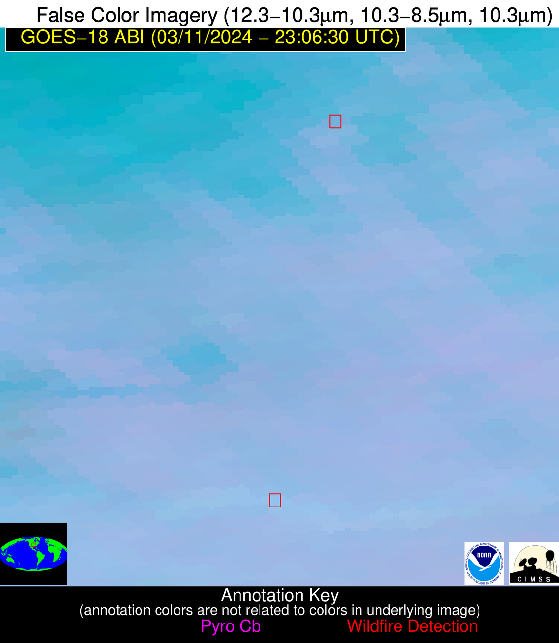
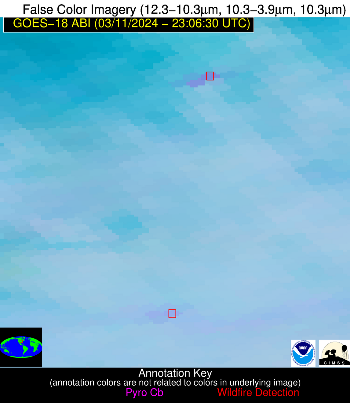
| Latest Satellite Imagery: | |
| View all event imagery » | |
Possible Wildfire
| Basic Information | |
|---|---|
| State/Province(s) | MO |
| Country/Countries | USA |
| County/Locality(s) | Ray County, MO |
| NWS WFO | Kansas City/Pleasant Hill MO |
| Identification Method | Enhanced Contextual (Clear) |
| Mean Object Date/Time | 2024-03-11 23:06:28UTC |
| Radiative Center (Lat, Lon): | 39.230000°, -94.160000° |
| Nearby Counties (meeting alert criteria): |
|
| Total Radiative Power Anomaly | n/a |
| Total Radiative Power | 23.81 MW |
| Map: | |
| Additional Information | |
| Alert Status | New Feature |
| Type of Event | Nominal Risk |
| Event Priority Ranking | 4 |
| Maximum Observed BT (3.9 um) | 295.64 K |
| Observed - Background BT (3.9 um) | 4.69 K |
| BT Anomaly (3.9 um) | 6.53 K |
| Maximum Observed - Clear RTM BT (3.9 um) | 12.61 K |
| Maximum Observed BTD (3.9-10/11/12 um) | 7.62 K |
| Observed - Background BTD (3.9-10/11/12 um) | 3.54 K |
| BTD Anomaly (3.9-10/11/12 um) | 7.55 K |
| Similar Pixel Count | 5 |
| BT Time Tendency (3.9 um) | 1.60 K |
| Image Interval | 2.00 minutes |
| Fraction of Surrounding LWIR Pixels that are Colder | 0.99 |
| Fraction of Surrounding Red Channel Pixels that are Brighter | 1.00 |
| Maximum Radiative Power | 13.47 MW |
| Maximum Radiative Power Uncertainty | 0.00 MW |
| Total Radiative Power Uncertainty | 0.00 MW |
| Mean Viewing Angle | 63.50° |
| Mean Solar Zenith Angle | 77.00° |
| Mean Glint Angle | 136.70° |
| Water Fraction | 0.00 |
| Total Pixel Area | 27.60 km2 |
| Latest Satellite Imagery: | |
| View all event imagery » | |
Possible Wildfire
| Basic Information | |
|---|---|
| State/Province(s) | OK |
| Country/Countries | USA |
| County/Locality(s) | Blaine County, OK |
| NWS WFO | Norman OK |
| Identification Method | Enhanced Contextual (Clear) |
| Mean Object Date/Time | 2024-03-11 23:06:28UTC |
| Radiative Center (Lat, Lon): | 35.580000°, -98.470000° |
| Nearby Counties (meeting alert criteria): |
|
| Total Radiative Power Anomaly | n/a |
| Total Radiative Power | 34.03 MW |
| Map: | |
| Additional Information | |
| Alert Status | New Feature |
| Type of Event | Nominal Risk |
| Event Priority Ranking | 4 |
| Maximum Observed BT (3.9 um) | 297.40 K |
| Observed - Background BT (3.9 um) | 5.55 K |
| BT Anomaly (3.9 um) | 6.95 K |
| Maximum Observed - Clear RTM BT (3.9 um) | 12.69 K |
| Maximum Observed BTD (3.9-10/11/12 um) | 9.26 K |
| Observed - Background BTD (3.9-10/11/12 um) | 4.90 K |
| BTD Anomaly (3.9-10/11/12 um) | 11.05 K |
| Similar Pixel Count | 4 |
| BT Time Tendency (3.9 um) | 4.10 K |
| Image Interval | 2.00 minutes |
| Fraction of Surrounding LWIR Pixels that are Colder | 0.98 |
| Fraction of Surrounding Red Channel Pixels that are Brighter | 0.94 |
| Maximum Radiative Power | 17.51 MW |
| Maximum Radiative Power Uncertainty | 0.00 MW |
| Total Radiative Power Uncertainty | 0.00 MW |
| Mean Viewing Angle | 58.20° |
| Mean Solar Zenith Angle | 72.70° |
| Mean Glint Angle | 127.90° |
| Water Fraction | 0.00 |
| Total Pixel Area | 20.90 km2 |
| Latest Satellite Imagery: | |
| View all event imagery » | |


