Wildfire Alert Report
| Date: | 2024-03-11 |
|---|---|
| Time: | 22:06:17 |
| Production Date and Time: | 2024-03-11 22:14:29 UTC |
| Primary Instrument: | GOES-16 ABI |
| Wmo Spacecraft Id: | 152 |
| Location/orbit: | GEO |
| L1 File: | OR_ABI-L1b-RadC-M6C14_G16_s20240712206173_e20240712208546_c20240712209017.nc |
| L1 File(s) - Temporal | OR_ABI-L1b-RadC-M6C14_G16_s20240712201173_e20240712203546_c20240712204010.nc |
| Number Of Thermal Anomaly Alerts: | 5 |
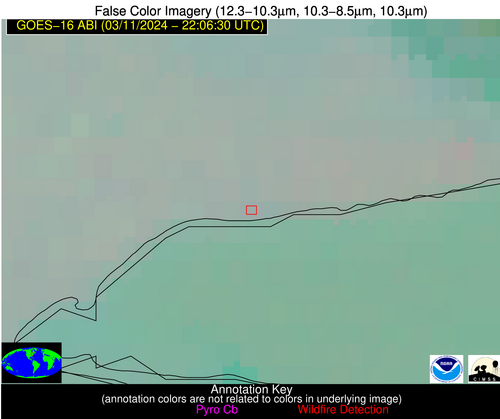
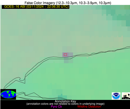
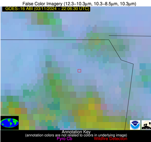
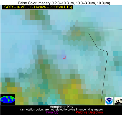
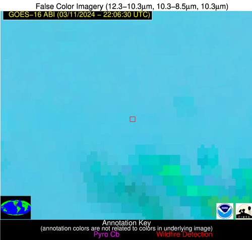
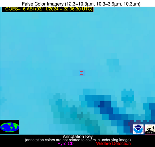
Possible Wildfire
| Basic Information | |
|---|---|
| State/Province(s) | Ontario |
| Country/Countries | Canada |
| County/Locality(s) | Canada |
| NWS WFO | N/A |
| Identification Method | Enhanced Contextual (Clear) |
| Mean Object Date/Time | 2024-03-11 22:06:22UTC |
| Radiative Center (Lat, Lon): | 42.810000°, -80.110000° |
| Nearby Counties (meeting alert criteria): |
|
| Total Radiative Power Anomaly | n/a |
| Total Radiative Power | 20.54 MW |
| Map: | |
| Additional Information | |
| Alert Status | New Feature |
| Type of Event | Ferrous-metal |
| Event Priority Ranking | 5 |
| Maximum Observed BT (3.9 um) | 286.00 K |
| Observed - Background BT (3.9 um) | 7.80 K |
| BT Anomaly (3.9 um) | 10.84 K |
| Maximum Observed - Clear RTM BT (3.9 um) | 11.37 K |
| Maximum Observed BTD (3.9-10/11/12 um) | 10.97 K |
| Observed - Background BTD (3.9-10/11/12 um) | 7.53 K |
| BTD Anomaly (3.9-10/11/12 um) | 24.41 K |
| Similar Pixel Count | 2 |
| BT Time Tendency (3.9 um) | 4.90 K |
| Image Interval | 5.00 minutes |
| Fraction of Surrounding LWIR Pixels that are Colder | 0.83 |
| Fraction of Surrounding Red Channel Pixels that are Brighter | 0.74 |
| Maximum Radiative Power | 20.54 MW |
| Maximum Radiative Power Uncertainty | 0.00 MW |
| Total Radiative Power Uncertainty | 0.00 MW |
| Mean Viewing Angle | 49.90° |
| Mean Solar Zenith Angle | 77.40° |
| Mean Glint Angle | 89.50° |
| Water Fraction | 0.00 |
| Total Pixel Area | 13.90 km2 |
| Latest Satellite Imagery: | |
| View all event imagery » | |
Possible Wildfire
| Basic Information | |
|---|---|
| State/Province(s) | IL |
| Country/Countries | USA |
| County/Locality(s) | Iroquois County, IL |
| NWS WFO | Chicago IL |
| Identification Method | Enhanced Contextual (Clear) |
| Mean Object Date/Time | 2024-03-11 22:06:51UTC |
| Radiative Center (Lat, Lon): | 40.550000°, -88.100000° |
| Nearby Counties (meeting alert criteria): |
|
| Total Radiative Power Anomaly | n/a |
| Total Radiative Power | 9.16 MW |
| Map: | |
| Additional Information | |
| Alert Status | New Feature |
| Type of Event | Nominal Risk |
| Event Priority Ranking | 4 |
| Maximum Observed BT (3.9 um) | 292.51 K |
| Observed - Background BT (3.9 um) | 3.49 K |
| BT Anomaly (3.9 um) | 4.59 K |
| Maximum Observed - Clear RTM BT (3.9 um) | 10.80 K |
| Maximum Observed BTD (3.9-10/11/12 um) | 7.84 K |
| Observed - Background BTD (3.9-10/11/12 um) | 3.92 K |
| BTD Anomaly (3.9-10/11/12 um) | 16.90 K |
| Similar Pixel Count | 3 |
| BT Time Tendency (3.9 um) | 2.80 K |
| Image Interval | 5.00 minutes |
| Fraction of Surrounding LWIR Pixels that are Colder | 0.22 |
| Fraction of Surrounding Red Channel Pixels that are Brighter | 1.00 |
| Maximum Radiative Power | 9.16 MW |
| Maximum Radiative Power Uncertainty | 0.00 MW |
| Total Radiative Power Uncertainty | 0.00 MW |
| Mean Viewing Angle | 49.00° |
| Mean Solar Zenith Angle | 71.00° |
| Mean Glint Angle | 80.10° |
| Water Fraction | 0.00 |
| Total Pixel Area | 6.90 km2 |
| Latest Satellite Imagery: | |
| View all event imagery » | |
Possible Wildfire
| Basic Information | |
|---|---|
| State/Province(s) | IL |
| Country/Countries | USA |
| County/Locality(s) | Bond County, IL |
| NWS WFO | St Louis MO |
| Identification Method | Enhanced Contextual (Clear) |
| Mean Object Date/Time | 2024-03-11 22:06:51UTC |
| Radiative Center (Lat, Lon): | 38.850000°, -89.590000° |
| Nearby Counties (meeting alert criteria): |
|
| Total Radiative Power Anomaly | n/a |
| Total Radiative Power | 11.05 MW |
| Map: | |
| Additional Information | |
| Alert Status | New Feature |
| Type of Event | Nominal Risk |
| Event Priority Ranking | 4 |
| Maximum Observed BT (3.9 um) | 294.78 K |
| Observed - Background BT (3.9 um) | 4.32 K |
| BT Anomaly (3.9 um) | 10.45 K |
| Maximum Observed - Clear RTM BT (3.9 um) | 12.25 K |
| Maximum Observed BTD (3.9-10/11/12 um) | 8.31 K |
| Observed - Background BTD (3.9-10/11/12 um) | 4.80 K |
| BTD Anomaly (3.9-10/11/12 um) | 14.67 K |
| Similar Pixel Count | 2 |
| BT Time Tendency (3.9 um) | 2.60 K |
| Image Interval | 5.00 minutes |
| Fraction of Surrounding LWIR Pixels that are Colder | 0.14 |
| Fraction of Surrounding Red Channel Pixels that are Brighter | 1.00 |
| Maximum Radiative Power | 11.05 MW |
| Maximum Radiative Power Uncertainty | 0.00 MW |
| Total Radiative Power Uncertainty | 0.00 MW |
| Mean Viewing Angle | 47.70° |
| Mean Solar Zenith Angle | 69.30° |
| Mean Glint Angle | 76.90° |
| Water Fraction | 0.00 |
| Total Pixel Area | 6.70 km2 |
| Latest Satellite Imagery: | |
| View all event imagery » | |
Possible Wildfire
| Basic Information | |
|---|---|
| State/Province(s) | MS |
| Country/Countries | USA |
| County/Locality(s) | Tishomingo County, MS |
| NWS WFO | Memphis TN |
| Identification Method | Enhanced Contextual (Clear) |
| Mean Object Date/Time | 2024-03-11 22:07:21UTC |
| Radiative Center (Lat, Lon): | 34.870000°, -88.320000° |
| Nearby Counties (meeting alert criteria): |
|
| Total Radiative Power Anomaly | n/a |
| Total Radiative Power | 7.65 MW |
| Map: | |
| Additional Information | |
| Alert Status | New Feature |
| Type of Event | Nominal Risk |
| Event Priority Ranking | 4 |
| Maximum Observed BT (3.9 um) | 292.51 K |
| Observed - Background BT (3.9 um) | 4.60 K |
| BT Anomaly (3.9 um) | 3.05 K |
| Maximum Observed - Clear RTM BT (3.9 um) | 9.54 K |
| Maximum Observed BTD (3.9-10/11/12 um) | 8.11 K |
| Observed - Background BTD (3.9-10/11/12 um) | 4.08 K |
| BTD Anomaly (3.9-10/11/12 um) | 5.55 K |
| Similar Pixel Count | 10 |
| BT Time Tendency (3.9 um) | 1.70 K |
| Image Interval | 5.00 minutes |
| Fraction of Surrounding LWIR Pixels that are Colder | 0.91 |
| Fraction of Surrounding Red Channel Pixels that are Brighter | 1.00 |
| Maximum Radiative Power | 7.65 MW |
| Maximum Radiative Power Uncertainty | 0.00 MW |
| Total Radiative Power Uncertainty | 0.00 MW |
| Mean Viewing Angle | 43.10° |
| Mean Solar Zenith Angle | 68.80° |
| Mean Glint Angle | 73.80° |
| Water Fraction | 0.00 |
| Total Pixel Area | 6.10 km2 |
| Latest Satellite Imagery: | |
| View all event imagery » | |
Possible Wildfire
| Basic Information | |
|---|---|
| State/Province(s) | AR |
| Country/Countries | USA |
| County/Locality(s) | Hempstead County, AR |
| NWS WFO | Shreveport LA |
| Identification Method | Enhanced Contextual (Clear) |
| Mean Object Date/Time | 2024-03-11 22:07:20UTC |
| Radiative Center (Lat, Lon): | 33.940000°, -93.540000° |
| Nearby Counties (meeting alert criteria): |
|
| Total Radiative Power Anomaly | n/a |
| Total Radiative Power | 6.36 MW |
| Map: | |
| Additional Information | |
| Alert Status | New Feature |
| Type of Event | Nominal Risk |
| Event Priority Ranking | 4 |
| Maximum Observed BT (3.9 um) | 293.53 K |
| Observed - Background BT (3.9 um) | 3.05 K |
| BT Anomaly (3.9 um) | 8.33 K |
| Maximum Observed - Clear RTM BT (3.9 um) | 8.93 K |
| Maximum Observed BTD (3.9-10/11/12 um) | 8.06 K |
| Observed - Background BTD (3.9-10/11/12 um) | 2.79 K |
| BTD Anomaly (3.9-10/11/12 um) | 4.72 K |
| Similar Pixel Count | 17 |
| BT Time Tendency (3.9 um) | 1.20 K |
| Image Interval | 5.00 minutes |
| Fraction of Surrounding LWIR Pixels that are Colder | 0.77 |
| Fraction of Surrounding Red Channel Pixels that are Brighter | 1.00 |
| Maximum Radiative Power | 6.36 MW |
| Maximum Radiative Power Uncertainty | 0.00 MW |
| Total Radiative Power Uncertainty | 0.00 MW |
| Mean Viewing Angle | 44.30° |
| Mean Solar Zenith Angle | 64.40° |
| Mean Glint Angle | 67.70° |
| Water Fraction | 0.00 |
| Total Pixel Area | 6.30 km2 |
| Latest Satellite Imagery: | |
| View all event imagery » | |
