Wildfire Alert Report
| Date: | 2024-03-11 |
|---|---|
| Time: | 00:56:17 |
| Production Date and Time: | 2024-03-11 01:01:16 UTC |
| Primary Instrument: | GOES-16 ABI |
| Wmo Spacecraft Id: | 152 |
| Location/orbit: | GEO |
| L1 File: | OR_ABI-L1b-RadC-M6C14_G16_s20240710056172_e20240710058545_c20240710059011.nc |
| L1 File(s) - Temporal | OR_ABI-L1b-RadC-M6C14_G16_s20240710051172_e20240710053545_c20240710054019.nc |
| Number Of Thermal Anomaly Alerts: | 3 |
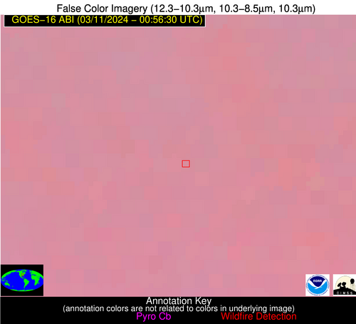
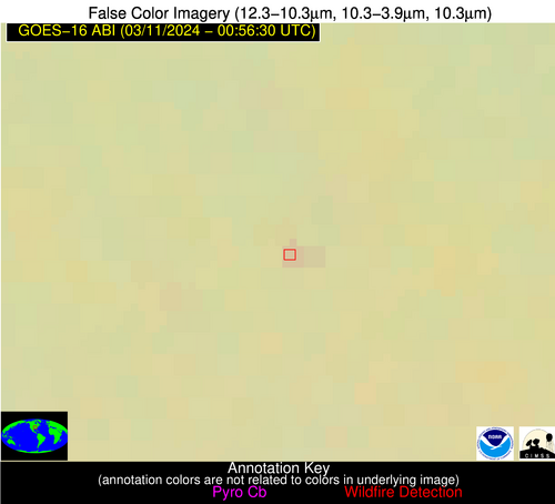
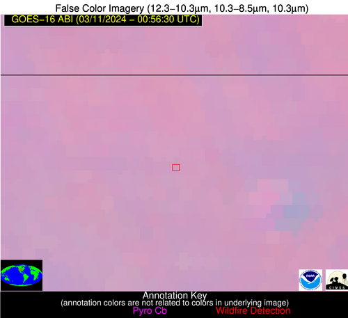
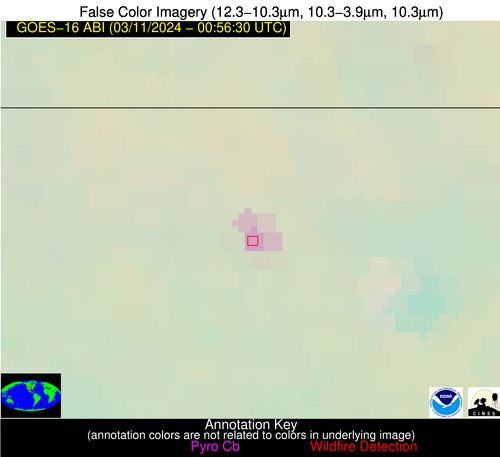
Possible Wildfire
| Basic Information | |
|---|---|
| State/Province(s) | MO |
| Country/Countries | USA |
| County/Locality(s) | St. Francois County, MO |
| NWS WFO | St Louis MO |
| Identification Method | Enhanced Contextual (Clear) |
| Mean Object Date/Time | 2024-03-11 00:56:51UTC |
| Radiative Center (Lat, Lon): | 37.720000°, -90.500000° |
| Nearby Counties (meeting alert criteria): |
|
| Total Radiative Power Anomaly | n/a |
| Total Radiative Power | 3.46 MW |
| Map: | |
| Additional Information | |
| Alert Status | New Feature |
| Type of Event | Nominal Risk, Known Incident: PILOT KNOB WILDFIRE (LOW, tdiff=5.25402 days, PERIMETER) |
| Event Priority Ranking | 4 |
| Maximum Observed BT (3.9 um) | 277.22 K |
| Observed - Background BT (3.9 um) | 2.43 K |
| BT Anomaly (3.9 um) | 4.05 K |
| Maximum Observed - Clear RTM BT (3.9 um) | 2.49 K |
| Maximum Observed BTD (3.9-10/11/12 um) | 2.96 K |
| Observed - Background BTD (3.9-10/11/12 um) | 2.86 K |
| BTD Anomaly (3.9-10/11/12 um) | 15.53 K |
| Similar Pixel Count | 1 |
| BT Time Tendency (3.9 um) | 0.70 K |
| Image Interval | 5.00 minutes |
| Fraction of Surrounding LWIR Pixels that are Colder | 0.25 |
| Fraction of Surrounding Red Channel Pixels that are Brighter | 1.00 |
| Maximum Radiative Power | 3.46 MW |
| Maximum Radiative Power Uncertainty | 0.00 MW |
| Total Radiative Power Uncertainty | 0.00 MW |
| Mean Viewing Angle | 46.80° |
| Mean Solar Zenith Angle | 101.10° |
| Mean Glint Angle | 78.30° |
| Water Fraction | 0.00 |
| Total Pixel Area | 6.60 km2 |
| Latest Satellite Imagery: | |
| View all event imagery » | |
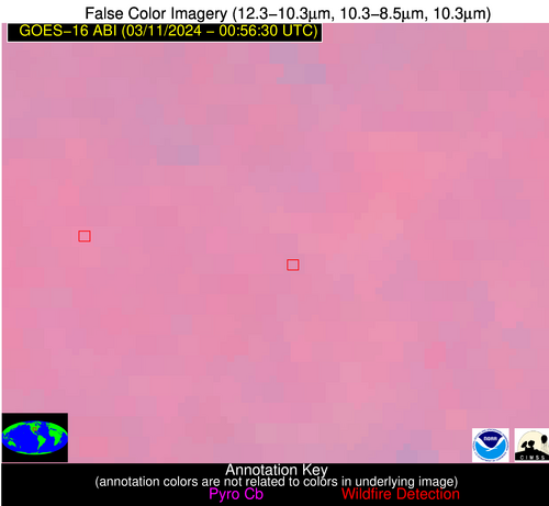
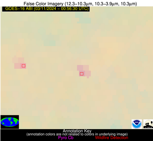
Possible Wildfire
| Basic Information | |
|---|---|
| State/Province(s) | KS |
| Country/Countries | USA |
| County/Locality(s) | Wilson County, KS |
| NWS WFO | Wichita KS |
| Identification Method | Enhanced Contextual (Clear) |
| Mean Object Date/Time | 2024-03-11 00:56:50UTC |
| Radiative Center (Lat, Lon): | 37.520000°, -95.940000° |
| Nearby Counties (meeting alert criteria): |
|
| Total Radiative Power Anomaly | n/a |
| Total Radiative Power | 18.75 MW |
| Map: | |
| Additional Information | |
| Alert Status | New Feature |
| Type of Event | Nominal Risk |
| Event Priority Ranking | 4 |
| Maximum Observed BT (3.9 um) | 284.78 K |
| Observed - Background BT (3.9 um) | 6.04 K |
| BT Anomaly (3.9 um) | 13.47 K |
| Maximum Observed - Clear RTM BT (3.9 um) | 4.36 K |
| Maximum Observed BTD (3.9-10/11/12 um) | 6.05 K |
| Observed - Background BTD (3.9-10/11/12 um) | 6.21 K |
| BTD Anomaly (3.9-10/11/12 um) | 38.33 K |
| Similar Pixel Count | 2 |
| BT Time Tendency (3.9 um) | 2.90 K |
| Image Interval | 5.00 minutes |
| Fraction of Surrounding LWIR Pixels that are Colder | 0.35 |
| Fraction of Surrounding Red Channel Pixels that are Brighter | 1.00 |
| Maximum Radiative Power | 10.03 MW |
| Maximum Radiative Power Uncertainty | 0.00 MW |
| Total Radiative Power Uncertainty | 0.00 MW |
| Mean Viewing Angle | 48.90° |
| Mean Solar Zenith Angle | 96.80° |
| Mean Glint Angle | 71.20° |
| Water Fraction | 0.00 |
| Total Pixel Area | 14.20 km2 |
| Latest Satellite Imagery: | |
| View all event imagery » | |
Possible Wildfire
| Basic Information | |
|---|---|
| State/Province(s) | OK |
| Country/Countries | USA |
| County/Locality(s) | Alfalfa County, OK |
| NWS WFO | Norman OK |
| Identification Method | Enhanced Contextual (Clear) |
| Mean Object Date/Time | 2024-03-11 00:56:50UTC |
| Radiative Center (Lat, Lon): | 36.820000°, -98.420000° |
| Nearby Counties (meeting alert criteria): |
|
| Total Radiative Power Anomaly | n/a |
| Total Radiative Power | 31.90 MW |
| Map: | |
| Additional Information | |
| Alert Status | New Feature |
| Type of Event | Nominal Risk |
| Event Priority Ranking | 4 |
| Maximum Observed BT (3.9 um) | 288.92 K |
| Observed - Background BT (3.9 um) | 8.25 K |
| BT Anomaly (3.9 um) | 11.42 K |
| Maximum Observed - Clear RTM BT (3.9 um) | 6.80 K |
| Maximum Observed BTD (3.9-10/11/12 um) | 7.64 K |
| Observed - Background BTD (3.9-10/11/12 um) | 8.07 K |
| BTD Anomaly (3.9-10/11/12 um) | 37.40 K |
| Similar Pixel Count | 1 |
| BT Time Tendency (3.9 um) | 8.20 K |
| Image Interval | 5.00 minutes |
| Fraction of Surrounding LWIR Pixels that are Colder | 0.64 |
| Fraction of Surrounding Red Channel Pixels that are Brighter | 1.00 |
| Maximum Radiative Power | 31.90 MW |
| Maximum Radiative Power Uncertainty | 0.00 MW |
| Total Radiative Power Uncertainty | 0.00 MW |
| Mean Viewing Angle | 49.50° |
| Mean Solar Zenith Angle | 94.80° |
| Mean Glint Angle | 68.00° |
| Water Fraction | 0.00 |
| Total Pixel Area | 21.80 km2 |
| Latest Satellite Imagery: | |
| View all event imagery » | |
