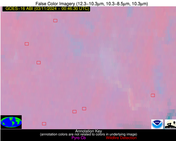
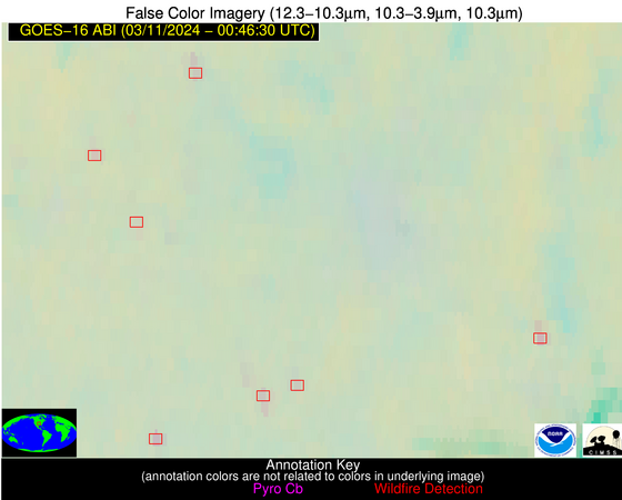
Wildfire Alert Report
| Date: | 2024-03-11 |
|---|---|
| Time: | 00:46:17 |
| Production Date and Time: | 2024-03-11 00:51:28 UTC |
| Primary Instrument: | GOES-16 ABI |
| Wmo Spacecraft Id: | 152 |
| Location/orbit: | GEO |
| L1 File: | OR_ABI-L1b-RadC-M6C14_G16_s20240710046172_e20240710048545_c20240710049018.nc |
| L1 File(s) - Temporal | OR_ABI-L1b-RadC-M6C14_G16_s20240710041172_e20240710043545_c20240710044032.nc |
| Number Of Thermal Anomaly Alerts: | 5 |
Possible Wildfire
| Basic Information | |
|---|---|
| State/Province(s) | IA |
| Country/Countries | USA |
| County/Locality(s) | Allamakee County, IA |
| NWS WFO | La Crosse WI |
| Identification Method | Enhanced Contextual (Clear) |
| Mean Object Date/Time | 2024-03-11 00:46:21UTC |
| Radiative Center (Lat, Lon): | 43.490000°, -91.520000° |
| Nearby Counties (meeting alert criteria): |
|
| Total Radiative Power Anomaly | n/a |
| Total Radiative Power | 16.69 MW |
| Map: | |
| Additional Information | |
| Alert Status | New Feature |
| Type of Event | Nominal Risk |
| Event Priority Ranking | 4 |
| Maximum Observed BT (3.9 um) | 275.90 K |
| Observed - Background BT (3.9 um) | 6.29 K |
| BT Anomaly (3.9 um) | 6.74 K |
| Maximum Observed - Clear RTM BT (3.9 um) | 3.96 K |
| Maximum Observed BTD (3.9-10/11/12 um) | 8.22 K |
| Observed - Background BTD (3.9-10/11/12 um) | 7.22 K |
| BTD Anomaly (3.9-10/11/12 um) | 13.89 K |
| Similar Pixel Count | 2 |
| BT Time Tendency (3.9 um) | 3.10 K |
| Image Interval | 5.00 minutes |
| Fraction of Surrounding LWIR Pixels that are Colder | 0.13 |
| Fraction of Surrounding Red Channel Pixels that are Brighter | 1.00 |
| Maximum Radiative Power | 8.59 MW |
| Maximum Radiative Power Uncertainty | 0.00 MW |
| Total Radiative Power Uncertainty | 0.00 MW |
| Mean Viewing Angle | 53.10° |
| Mean Solar Zenith Angle | 98.10° |
| Mean Glint Angle | 75.10° |
| Water Fraction | 0.00 |
| Total Pixel Area | 15.60 km2 |
| Latest Satellite Imagery: | |
| View all event imagery » | |
Possible Wildfire
| Basic Information | |
|---|---|
| State/Province(s) | MO |
| Country/Countries | USA |
| County/Locality(s) | Livingston County, MO |
| NWS WFO | Kansas City/Pleasant Hill MO |
| Identification Method | Enhanced Contextual (Clear) |
| Mean Object Date/Time | 2024-03-11 00:46:50UTC |
| Radiative Center (Lat, Lon): | 39.710000°, -93.580000° |
| Nearby Counties (meeting alert criteria): |
|
| Total Radiative Power Anomaly | n/a |
| Total Radiative Power | 7.57 MW |
| Map: | |
| Additional Information | |
| Alert Status | New Feature |
| Type of Event | Nominal Risk |
| Event Priority Ranking | 4 |
| Maximum Observed BT (3.9 um) | 280.47 K |
| Observed - Background BT (3.9 um) | 5.21 K |
| BT Anomaly (3.9 um) | 8.22 K |
| Maximum Observed - Clear RTM BT (3.9 um) | 2.65 K |
| Maximum Observed BTD (3.9-10/11/12 um) | 4.86 K |
| Observed - Background BTD (3.9-10/11/12 um) | 5.07 K |
| BTD Anomaly (3.9-10/11/12 um) | 14.72 K |
| Similar Pixel Count | 1 |
| BT Time Tendency (3.9 um) | 3.50 K |
| Image Interval | 5.00 minutes |
| Fraction of Surrounding LWIR Pixels that are Colder | 0.62 |
| Fraction of Surrounding Red Channel Pixels that are Brighter | 1.00 |
| Maximum Radiative Power | 7.57 MW |
| Maximum Radiative Power Uncertainty | 0.00 MW |
| Total Radiative Power Uncertainty | 0.00 MW |
| Mean Viewing Angle | 50.00° |
| Mean Solar Zenith Angle | 96.60° |
| Mean Glint Angle | 73.50° |
| Water Fraction | 0.00 |
| Total Pixel Area | 7.20 km2 |
| Latest Satellite Imagery: | |
| View all event imagery » | |
Possible Wildfire
| Basic Information | |
|---|---|
| State/Province(s) | MO |
| Country/Countries | USA |
| County/Locality(s) | Ralls County, MO |
| NWS WFO | St Louis MO |
| Identification Method | Enhanced Contextual (Clear) |
| Mean Object Date/Time | 2024-03-11 00:46:51UTC |
| Radiative Center (Lat, Lon): | 39.480000°, -91.700000° |
| Nearby Counties (meeting alert criteria): |
|
| Total Radiative Power Anomaly | n/a |
| Total Radiative Power | 4.78 MW |
| Map: | |
| Additional Information | |
| Alert Status | New Feature |
| Type of Event | Nominal Risk |
| Event Priority Ranking | 4 |
| Maximum Observed BT (3.9 um) | 278.48 K |
| Observed - Background BT (3.9 um) | 4.72 K |
| BT Anomaly (3.9 um) | 4.39 K |
| Maximum Observed - Clear RTM BT (3.9 um) | 3.68 K |
| Maximum Observed BTD (3.9-10/11/12 um) | 3.78 K |
| Observed - Background BTD (3.9-10/11/12 um) | 3.90 K |
| BTD Anomaly (3.9-10/11/12 um) | 13.12 K |
| Similar Pixel Count | 1 |
| BT Time Tendency (3.9 um) | 2.50 K |
| Image Interval | 5.00 minutes |
| Fraction of Surrounding LWIR Pixels that are Colder | 0.88 |
| Fraction of Surrounding Red Channel Pixels that are Brighter | 1.00 |
| Maximum Radiative Power | 4.78 MW |
| Maximum Radiative Power Uncertainty | 0.00 MW |
| Total Radiative Power Uncertainty | 0.00 MW |
| Mean Viewing Angle | 49.00° |
| Mean Solar Zenith Angle | 98.10° |
| Mean Glint Angle | 75.90° |
| Water Fraction | 0.00 |
| Total Pixel Area | 7.00 km2 |
| Latest Satellite Imagery: | |
| View all event imagery » | |
Possible Wildfire
| Basic Information | |
|---|---|
| State/Province(s) | OK |
| Country/Countries | USA |
| County/Locality(s) | Payne County, OK |
| NWS WFO | Norman OK |
| Identification Method | Enhanced Contextual (Clear) |
| Mean Object Date/Time | 2024-03-11 00:47:20UTC |
| Radiative Center (Lat, Lon): | 36.220000°, -96.930000° |
| Nearby Counties (meeting alert criteria): |
|
| Total Radiative Power Anomaly | n/a |
| Total Radiative Power | 4.72 MW |
| Map: | |
| Additional Information | |
| Alert Status | New Feature |
| Type of Event | Nominal Risk |
| Event Priority Ranking | 4 |
| Maximum Observed BT (3.9 um) | 282.48 K |
| Observed - Background BT (3.9 um) | 3.14 K |
| BT Anomaly (3.9 um) | 4.29 K |
| Maximum Observed - Clear RTM BT (3.9 um) | 0.38 K |
| Maximum Observed BTD (3.9-10/11/12 um) | 2.80 K |
| Observed - Background BTD (3.9-10/11/12 um) | 3.01 K |
| BTD Anomaly (3.9-10/11/12 um) | 11.73 K |
| Similar Pixel Count | 1 |
| BT Time Tendency (3.9 um) | 2.00 K |
| Image Interval | 5.00 minutes |
| Fraction of Surrounding LWIR Pixels that are Colder | 0.60 |
| Fraction of Surrounding Red Channel Pixels that are Brighter | 1.00 |
| Maximum Radiative Power | 4.72 MW |
| Maximum Radiative Power Uncertainty | 0.00 MW |
| Total Radiative Power Uncertainty | 0.00 MW |
| Mean Viewing Angle | 48.10° |
| Mean Solar Zenith Angle | 94.00° |
| Mean Glint Angle | 69.50° |
| Water Fraction | 0.00 |
| Total Pixel Area | 7.00 km2 |
| Latest Satellite Imagery: | |
| View all event imagery » | |
Possible Wildfire
| Basic Information | |
|---|---|
| State/Province(s) | OK |
| Country/Countries | USA |
| County/Locality(s) | Wagoner County, OK |
| NWS WFO | Tulsa OK |
| Identification Method | Enhanced Contextual (Clear) |
| Mean Object Date/Time | 2024-03-11 00:47:20UTC |
| Radiative Center (Lat, Lon): | 35.860000°, -95.350000° |
| Nearby Counties (meeting alert criteria): |
|
| Total Radiative Power Anomaly | n/a |
| Total Radiative Power | 8.15 MW |
| Map: | |
| Additional Information | |
| Alert Status | New Feature |
| Type of Event | Nominal Risk |
| Event Priority Ranking | 4 |
| Maximum Observed BT (3.9 um) | 284.34 K |
| Observed - Background BT (3.9 um) | 4.53 K |
| BT Anomaly (3.9 um) | 4.55 K |
| Maximum Observed - Clear RTM BT (3.9 um) | 3.81 K |
| Maximum Observed BTD (3.9-10/11/12 um) | 5.11 K |
| Observed - Background BTD (3.9-10/11/12 um) | 4.95 K |
| BTD Anomaly (3.9-10/11/12 um) | 11.75 K |
| Similar Pixel Count | 1 |
| BT Time Tendency (3.9 um) | 4.50 K |
| Image Interval | 5.00 minutes |
| Fraction of Surrounding LWIR Pixels that are Colder | 0.33 |
| Fraction of Surrounding Red Channel Pixels that are Brighter | 1.00 |
| Maximum Radiative Power | 8.15 MW |
| Maximum Radiative Power Uncertainty | 0.00 MW |
| Total Radiative Power Uncertainty | 0.00 MW |
| Mean Viewing Angle | 47.00° |
| Mean Solar Zenith Angle | 95.20° |
| Mean Glint Angle | 71.60° |
| Water Fraction | 0.00 |
| Total Pixel Area | 6.80 km2 |
| Latest Satellite Imagery: | |
| View all event imagery » | |
