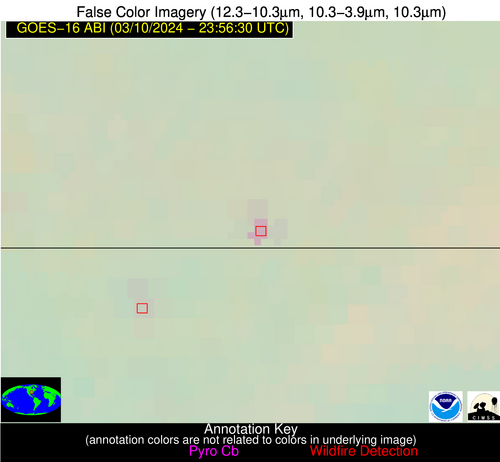
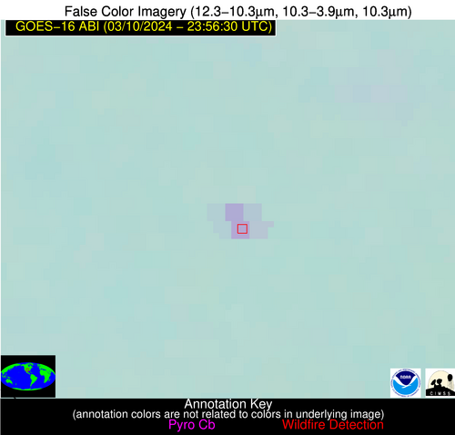
Wildfire Alert Report
| Date: | 2024-03-10 |
|---|---|
| Time: | 23:56:17 |
| Production Date and Time: | 2024-03-11 00:05:21 UTC |
| Primary Instrument: | GOES-16 ABI |
| Wmo Spacecraft Id: | 152 |
| Location/orbit: | GEO |
| L1 File: | OR_ABI-L1b-RadC-M6C14_G16_s20240702356172_e20240702358545_c20240702359038.nc |
| L1 File(s) - Temporal | OR_ABI-L1b-RadC-M6C14_G16_s20240702351172_e20240702353545_c20240702354026.nc |
| Number Of Thermal Anomaly Alerts: | 4 |
Possible Wildfire
| Basic Information | |
|---|---|
| State/Province(s) | IN |
| Country/Countries | USA |
| County/Locality(s) | Whitley County, IN |
| NWS WFO | Northern Indiana IN |
| Identification Method | Enhanced Contextual (Clear) |
| Mean Object Date/Time | 2024-03-10 23:56:51UTC |
| Radiative Center (Lat, Lon): | 41.120000°, -85.340000° |
| Nearby Counties (meeting alert criteria): |
|
| Total Radiative Power Anomaly | n/a |
| Total Radiative Power | 18.14 MW |
| Map: | |
| Additional Information | |
| Alert Status | New Feature |
| Type of Event | Ferrous-metal |
| Event Priority Ranking | 5 |
| Maximum Observed BT (3.9 um) | 278.48 K |
| Observed - Background BT (3.9 um) | 8.37 K |
| BT Anomaly (3.9 um) | 22.71 K |
| Maximum Observed - Clear RTM BT (3.9 um) | 8.26 K |
| Maximum Observed BTD (3.9-10/11/12 um) | 8.14 K |
| Observed - Background BTD (3.9-10/11/12 um) | 8.40 K |
| BTD Anomaly (3.9-10/11/12 um) | 35.95 K |
| Similar Pixel Count | 2 |
| BT Time Tendency (3.9 um) | 8.00 K |
| Image Interval | 5.00 minutes |
| Fraction of Surrounding LWIR Pixels that are Colder | 0.55 |
| Fraction of Surrounding Red Channel Pixels that are Brighter | 1.00 |
| Maximum Radiative Power | 9.98 MW |
| Maximum Radiative Power Uncertainty | 0.00 MW |
| Total Radiative Power Uncertainty | 0.00 MW |
| Mean Viewing Angle | 48.90° |
| Mean Solar Zenith Angle | 93.60° |
| Mean Glint Angle | 82.80° |
| Water Fraction | 0.00 |
| Total Pixel Area | 13.70 km2 |
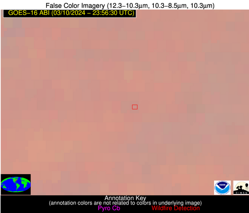
| Latest Satellite Imagery: | |
| View all event imagery » | |
Possible Wildfire
| Basic Information | |
|---|---|
| State/Province(s) | KS |
| Country/Countries | USA |
| County/Locality(s) | Marion County, KS |
| NWS WFO | Wichita KS |
| Identification Method | Enhanced Contextual (Clear) |
| Mean Object Date/Time | 2024-03-10 23:56:50UTC |
| Radiative Center (Lat, Lon): | 38.140000°, -97.110000° |
| Nearby Counties (meeting alert criteria): |
|
| Total Radiative Power Anomaly | n/a |
| Total Radiative Power | 7.03 MW |
| Map: | |
| Additional Information | |
| Alert Status | New Feature |
| Type of Event | Nominal Risk |
| Event Priority Ranking | 4 |
| Maximum Observed BT (3.9 um) | 286.49 K |
| Observed - Background BT (3.9 um) | 3.73 K |
| BT Anomaly (3.9 um) | 14.05 K |
| Maximum Observed - Clear RTM BT (3.9 um) | 5.51 K |
| Maximum Observed BTD (3.9-10/11/12 um) | 4.45 K |
| Observed - Background BTD (3.9-10/11/12 um) | 3.75 K |
| BTD Anomaly (3.9-10/11/12 um) | 37.51 K |
| Similar Pixel Count | 1 |
| BT Time Tendency (3.9 um) | 2.60 K |
| Image Interval | 5.00 minutes |
| Fraction of Surrounding LWIR Pixels that are Colder | 0.43 |
| Fraction of Surrounding Red Channel Pixels that are Brighter | 1.00 |
| Maximum Radiative Power | 7.03 MW |
| Maximum Radiative Power Uncertainty | 0.00 MW |
| Total Radiative Power Uncertainty | 0.00 MW |
| Mean Viewing Angle | 50.00° |
| Mean Solar Zenith Angle | 84.30° |
| Mean Glint Angle | 68.60° |
| Water Fraction | 0.00 |
| Total Pixel Area | 7.30 km2 |
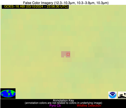
| Latest Satellite Imagery: | |
| View all event imagery » | |
Possible Wildfire
| Basic Information | |
|---|---|
| State/Province(s) | MO |
| Country/Countries | USA |
| County/Locality(s) | Ripley County, MO |
| NWS WFO | Paducah KY |
| Identification Method | Enhanced Contextual (Clear) |
| Mean Object Date/Time | 2024-03-10 23:56:51UTC |
| Radiative Center (Lat, Lon): | 36.520000°, -90.920000° |
| Nearby Counties (meeting alert criteria): |
|
| Total Radiative Power Anomaly | n/a |
| Total Radiative Power | 8.91 MW |
| Map: | |
| Additional Information | |
| Alert Status | New Feature |
| Type of Event | Nominal Risk |
| Event Priority Ranking | 4 |
| Maximum Observed BT (3.9 um) | 286.00 K |
| Observed - Background BT (3.9 um) | 5.52 K |
| BT Anomaly (3.9 um) | 12.31 K |
| Maximum Observed - Clear RTM BT (3.9 um) | 8.41 K |
| Maximum Observed BTD (3.9-10/11/12 um) | 6.25 K |
| Observed - Background BTD (3.9-10/11/12 um) | 5.58 K |
| BTD Anomaly (3.9-10/11/12 um) | 21.89 K |
| Similar Pixel Count | 1 |
| BT Time Tendency (3.9 um) | 2.30 K |
| Image Interval | 5.00 minutes |
| Fraction of Surrounding LWIR Pixels that are Colder | 0.41 |
| Fraction of Surrounding Red Channel Pixels that are Brighter | 1.00 |
| Maximum Radiative Power | 8.91 MW |
| Maximum Radiative Power Uncertainty | 0.00 MW |
| Total Radiative Power Uncertainty | 0.00 MW |
| Mean Viewing Angle | 45.70° |
| Mean Solar Zenith Angle | 88.90° |
| Mean Glint Angle | 75.50° |
| Water Fraction | 0.00 |
| Total Pixel Area | 6.50 km2 |
| Latest Satellite Imagery: | |
| View all event imagery » | |
Possible Wildfire
| Basic Information | |
|---|---|
| State/Province(s) | OK |
| Country/Countries | USA |
| County/Locality(s) | Comanche County, OK |
| NWS WFO | Norman OK |
| Identification Method | Enhanced Contextual (Clear) |
| Mean Object Date/Time | 2024-03-10 23:57:20UTC |
| Radiative Center (Lat, Lon): | 34.420000°, -98.620000° |
| Nearby Counties (meeting alert criteria): |
|
| Total Radiative Power Anomaly | n/a |
| Total Radiative Power | 26.04 MW |
| Map: | |
| Additional Information | |
| Alert Status | New Feature |
| Type of Event | Nominal Risk |
| Event Priority Ranking | 4 |
| Maximum Observed BT (3.9 um) | 291.56 K |
| Observed - Background BT (3.9 um) | 7.00 K |
| BT Anomaly (3.9 um) | 70.03 K |
| Maximum Observed - Clear RTM BT (3.9 um) | 9.64 K |
| Maximum Observed BTD (3.9-10/11/12 um) | 7.50 K |
| Observed - Background BTD (3.9-10/11/12 um) | 6.66 K |
| BTD Anomaly (3.9-10/11/12 um) | 66.58 K |
| Similar Pixel Count | 2 |
| BT Time Tendency (3.9 um) | 5.60 K |
| Image Interval | 5.00 minutes |
| Fraction of Surrounding LWIR Pixels that are Colder | 0.94 |
| Fraction of Surrounding Red Channel Pixels that are Brighter | 1.00 |
| Maximum Radiative Power | 13.49 MW |
| Maximum Radiative Power Uncertainty | 0.00 MW |
| Total Radiative Power Uncertainty | 0.00 MW |
| Mean Viewing Angle | 47.40° |
| Mean Solar Zenith Angle | 82.40° |
| Mean Glint Angle | 65.10° |
| Water Fraction | 0.00 |
| Total Pixel Area | 13.80 km2 |
| Latest Satellite Imagery: | |
| View all event imagery » | |
