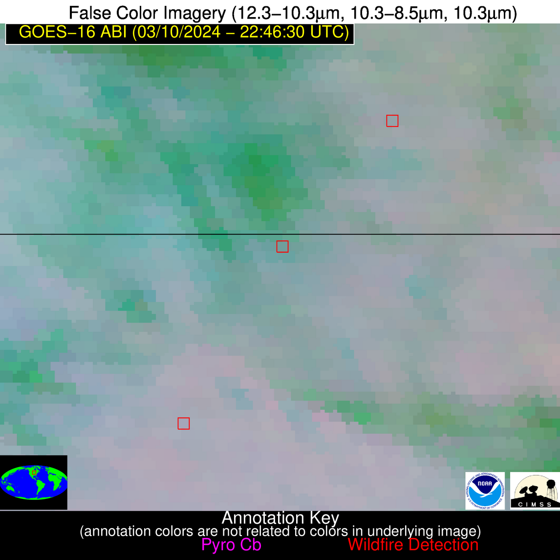
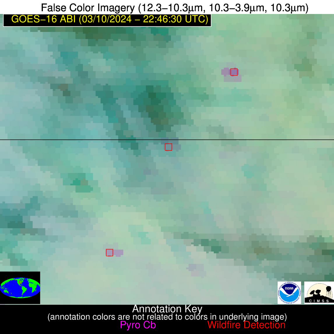
Wildfire Alert Report
| Date: | 2024-03-10 |
|---|---|
| Time: | 22:46:17 |
| Production Date and Time: | 2024-03-10 22:52:02 UTC |
| Primary Instrument: | GOES-16 ABI |
| Wmo Spacecraft Id: | 152 |
| Location/orbit: | GEO |
| L1 File: | OR_ABI-L1b-RadC-M6C14_G16_s20240702246172_e20240702248545_c20240702249018.nc |
| L1 File(s) - Temporal | OR_ABI-L1b-RadC-M6C14_G16_s20240702236172_e20240702238545_c20240702239023.nc |
| Number Of Thermal Anomaly Alerts: | 5 |
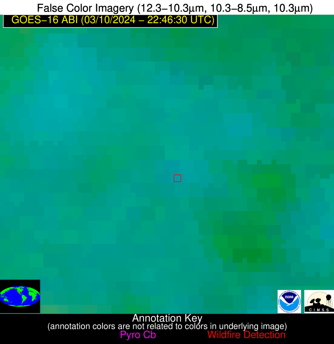
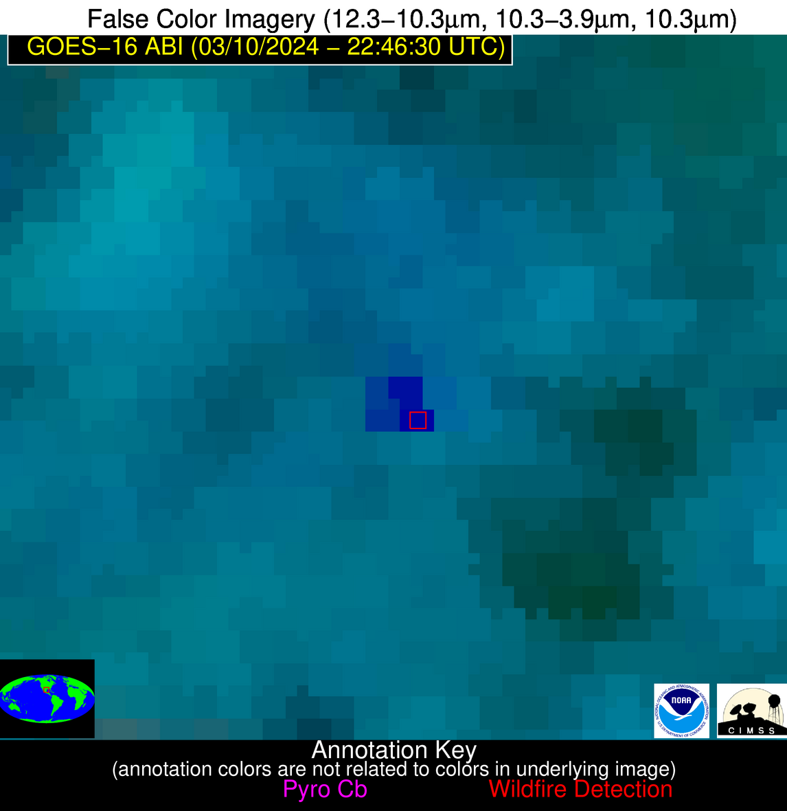
Possible Wildfire
| Basic Information | |
|---|---|
| State/Province(s) | MN |
| Country/Countries | USA |
| County/Locality(s) | Fillmore County, MN |
| NWS WFO | La Crosse WI |
| Identification Method | Enhanced Contextual (Clear) |
| Mean Object Date/Time | 2024-03-10 22:46:21UTC |
| Radiative Center (Lat, Lon): | 43.820000°, -92.160000° |
| Nearby Counties (meeting alert criteria): |
|
| Total Radiative Power Anomaly | n/a |
| Total Radiative Power | 34.05 MW |
| Map: | |
| Additional Information | |
| Alert Status | New Feature |
| Type of Event | Nominal Risk |
| Event Priority Ranking | 4 |
| Maximum Observed BT (3.9 um) | 289.73 K |
| Observed - Background BT (3.9 um) | 11.12 K |
| BT Anomaly (3.9 um) | 12.31 K |
| Maximum Observed - Clear RTM BT (3.9 um) | 14.00 K |
| Maximum Observed BTD (3.9-10/11/12 um) | 14.84 K |
| Observed - Background BTD (3.9-10/11/12 um) | 10.14 K |
| BTD Anomaly (3.9-10/11/12 um) | 13.25 K |
| Similar Pixel Count | 2 |
| BT Time Tendency (3.9 um) | 9.10 K |
| Image Interval | 10.00 minutes |
| Fraction of Surrounding LWIR Pixels that are Colder | 0.89 |
| Fraction of Surrounding Red Channel Pixels that are Brighter | 1.00 |
| Maximum Radiative Power | 34.05 MW |
| Maximum Radiative Power Uncertainty | 0.00 MW |
| Total Radiative Power Uncertainty | 0.00 MW |
| Mean Viewing Angle | 53.60° |
| Mean Solar Zenith Angle | 76.50° |
| Mean Glint Angle | 78.60° |
| Water Fraction | 0.00 |
| Total Pixel Area | 15.90 km2 |
| Latest Satellite Imagery: | |
| View all event imagery » | |
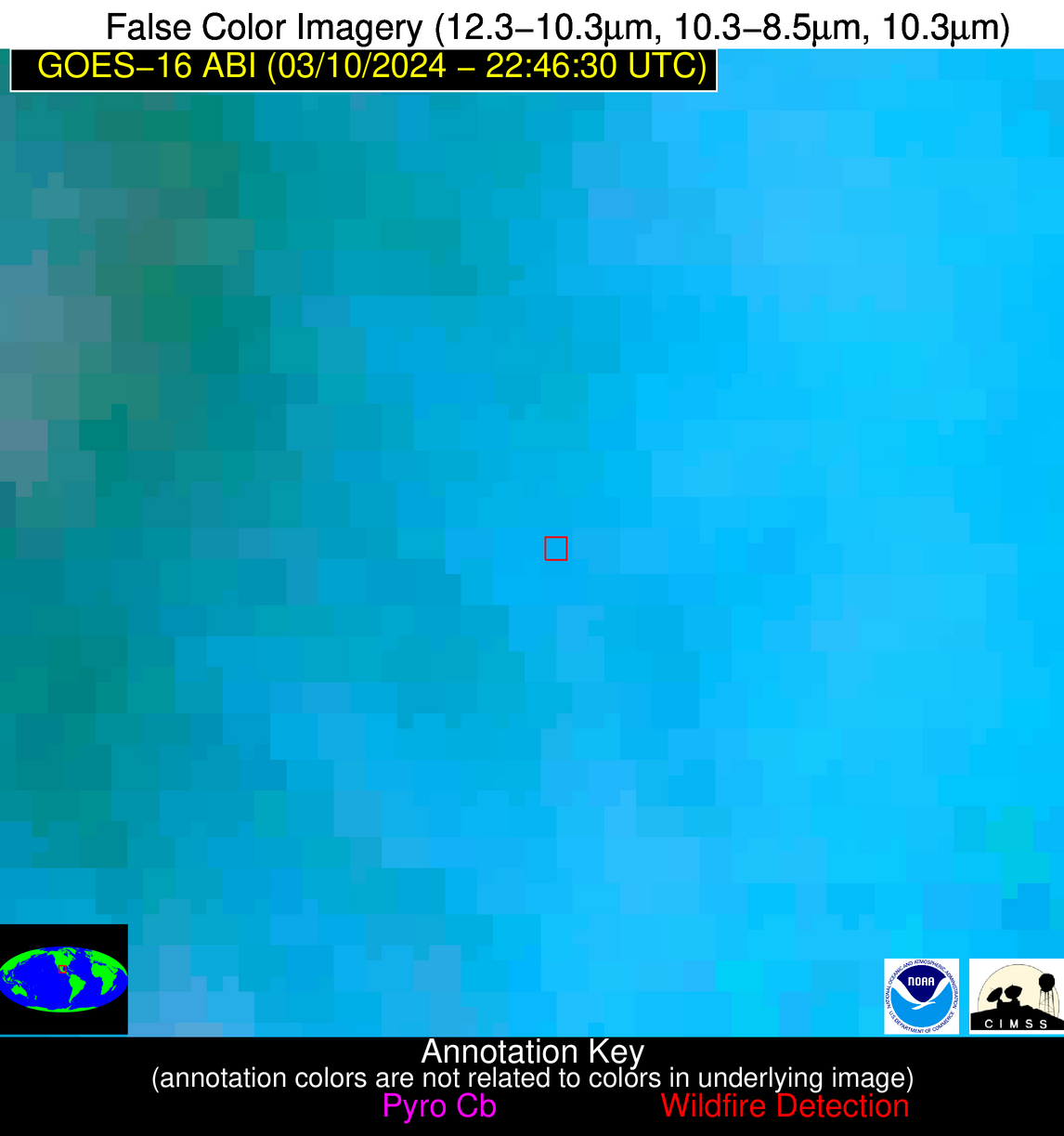
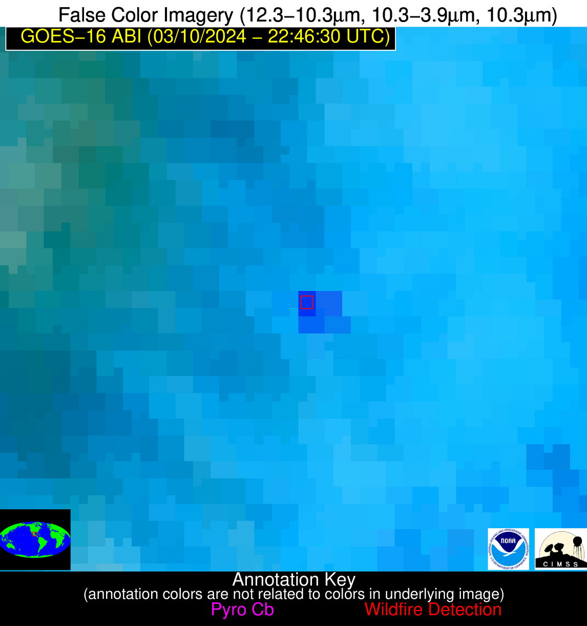
Possible Wildfire
| Basic Information | |
|---|---|
| State/Province(s) | IA |
| Country/Countries | USA |
| County/Locality(s) | Floyd County, IA |
| NWS WFO | La Crosse WI |
| Identification Method | Enhanced Contextual (Clear) |
| Mean Object Date/Time | 2024-03-10 22:46:51UTC |
| Radiative Center (Lat, Lon): | 42.970000°, -92.570000° |
| Nearby Counties (meeting alert criteria): |
|
| Total Radiative Power Anomaly | n/a |
| Total Radiative Power | 22.78 MW |
| Map: | |
| Additional Information | |
| Alert Status | New Feature |
| Type of Event | Nominal Risk |
| Event Priority Ranking | 4 |
| Maximum Observed BT (3.9 um) | 287.90 K |
| Observed - Background BT (3.9 um) | 6.15 K |
| BT Anomaly (3.9 um) | 5.37 K |
| Maximum Observed - Clear RTM BT (3.9 um) | 11.41 K |
| Maximum Observed BTD (3.9-10/11/12 um) | 9.73 K |
| Observed - Background BTD (3.9-10/11/12 um) | 6.16 K |
| BTD Anomaly (3.9-10/11/12 um) | 5.79 K |
| Similar Pixel Count | 2 |
| BT Time Tendency (3.9 um) | 3.70 K |
| Image Interval | 10.00 minutes |
| Fraction of Surrounding LWIR Pixels that are Colder | 0.49 |
| Fraction of Surrounding Red Channel Pixels that are Brighter | 1.00 |
| Maximum Radiative Power | 11.58 MW |
| Maximum Radiative Power Uncertainty | 0.00 MW |
| Total Radiative Power Uncertainty | 0.00 MW |
| Mean Viewing Angle | 52.90° |
| Mean Solar Zenith Angle | 76.00° |
| Mean Glint Angle | 77.60° |
| Water Fraction | 0.00 |
| Total Pixel Area | 15.60 km2 |
| Latest Satellite Imagery: | |
| View all event imagery » | |
Possible Wildfire
| Basic Information | |
|---|---|
| State/Province(s) | OK |
| Country/Countries | USA |
| County/Locality(s) | Nowata County, OK |
| NWS WFO | Tulsa OK |
| Identification Method | Enhanced Contextual (Clear) |
| Mean Object Date/Time | 2024-03-10 22:46:50UTC |
| Radiative Center (Lat, Lon): | 36.810000°, -95.680000° |
| Nearby Counties (meeting alert criteria): |
|
| Total Radiative Power Anomaly | n/a |
| Total Radiative Power | 46.15 MW |
| Map: | |
| Additional Information | |
| Alert Status | New Feature |
| Type of Event | Nominal Risk |
| Event Priority Ranking | 4 |
| Maximum Observed BT (3.9 um) | 298.48 K |
| Observed - Background BT (3.9 um) | 8.87 K |
| BT Anomaly (3.9 um) | 10.51 K |
| Maximum Observed - Clear RTM BT (3.9 um) | 15.41 K |
| Maximum Observed BTD (3.9-10/11/12 um) | 12.14 K |
| Observed - Background BTD (3.9-10/11/12 um) | 9.16 K |
| BTD Anomaly (3.9-10/11/12 um) | 18.97 K |
| Similar Pixel Count | 2 |
| BT Time Tendency (3.9 um) | 8.50 K |
| Image Interval | 10.00 minutes |
| Fraction of Surrounding LWIR Pixels that are Colder | 0.22 |
| Fraction of Surrounding Red Channel Pixels that are Brighter | 1.00 |
| Maximum Radiative Power | 23.70 MW |
| Maximum Radiative Power Uncertainty | 0.00 MW |
| Total Radiative Power Uncertainty | 0.00 MW |
| Mean Viewing Angle | 48.10° |
| Mean Solar Zenith Angle | 71.60° |
| Mean Glint Angle | 69.20° |
| Water Fraction | 0.00 |
| Total Pixel Area | 13.90 km2 |
| Latest Satellite Imagery: | |
| View all event imagery » | |
Possible Wildfire
| Basic Information | |
|---|---|
| State/Province(s) | TX |
| Country/Countries | USA |
| County/Locality(s) | Brooks County, TX |
| NWS WFO | Brownsville TX |
| Identification Method | Enhanced Contextual (Cloud) |
| Mean Object Date/Time | 2024-03-10 22:47:49UTC |
| Radiative Center (Lat, Lon): | 27.140000°, -98.450000° |
| Nearby Counties (meeting alert criteria): |
|
| Total Radiative Power Anomaly | n/a |
| Total Radiative Power | 138.56 MW |
| Map: | |
| Additional Information | |
| Alert Status | New Feature |
| Type of Event | Nominal Risk |
| Event Priority Ranking | 4 |
| Maximum Observed BT (3.9 um) | 307.99 K |
| Observed - Background BT (3.9 um) | 21.09 K |
| BT Anomaly (3.9 um) | 43.66 K |
| Maximum Observed - Clear RTM BT (3.9 um) | 18.85 K |
| Maximum Observed BTD (3.9-10/11/12 um) | 38.15 K |
| Observed - Background BTD (3.9-10/11/12 um) | 20.77 K |
| BTD Anomaly (3.9-10/11/12 um) | 14.67 K |
| Similar Pixel Count | 0 |
| BT Time Tendency (3.9 um) | 25.00 K |
| Image Interval | 10.00 minutes |
| Fraction of Surrounding LWIR Pixels that are Colder | 0.96 |
| Fraction of Surrounding Red Channel Pixels that are Brighter | 1.00 |
| Maximum Radiative Power | 82.87 MW |
| Maximum Radiative Power Uncertainty | 0.00 MW |
| Total Radiative Power Uncertainty | 0.00 MW |
| Mean Viewing Angle | 41.00° |
| Mean Solar Zenith Angle | 66.20° |
| Mean Glint Angle | 56.10° |
| Water Fraction | 0.00 |
| Total Pixel Area | 11.90 km2 |
| Latest Satellite Imagery: | |
| View all event imagery » | |
Possible Wildfire
| Basic Information | |
|---|---|
| State/Province(s) | Unknown |
| Country/Countries | Mexico |
| County/Locality(s) | Mexico |
| NWS WFO | N/A |
| Identification Method | Enhanced Contextual (Cloud) |
| Mean Object Date/Time | 2024-03-10 22:48:19UTC |
| Radiative Center (Lat, Lon): | 22.970000°, -99.020000° |
| Nearby Counties (meeting alert criteria): |
|
| Total Radiative Power Anomaly | n/a |
| Total Radiative Power | 93.85 MW |
| Map: | |
| Additional Information | |
| Alert Status | New Feature |
| Type of Event | Nominal Risk |
| Event Priority Ranking | 4 |
| Maximum Observed BT (3.9 um) | 313.72 K |
| Observed - Background BT (3.9 um) | 16.81 K |
| BT Anomaly (3.9 um) | 16.92 K |
| Maximum Observed - Clear RTM BT (3.9 um) | 16.91 K |
| Maximum Observed BTD (3.9-10/11/12 um) | 28.04 K |
| Observed - Background BTD (3.9-10/11/12 um) | 17.00 K |
| BTD Anomaly (3.9-10/11/12 um) | 15.91 K |
| Similar Pixel Count | 0 |
| BT Time Tendency (3.9 um) | 12.60 K |
| Image Interval | 10.00 minutes |
| Fraction of Surrounding LWIR Pixels that are Colder | 0.56 |
| Fraction of Surrounding Red Channel Pixels that are Brighter | 1.00 |
| Maximum Radiative Power | 93.85 MW |
| Maximum Radiative Power Uncertainty | 0.00 MW |
| Total Radiative Power Uncertainty | 0.00 MW |
| Mean Viewing Angle | 38.10° |
| Mean Solar Zenith Angle | 64.50° |
| Mean Glint Angle | 50.80° |
| Water Fraction | 0.00 |
| Total Pixel Area | 11.20 km2 |
| Latest Satellite Imagery: | |
| View all event imagery » | |
