Wildfire Alert Report
| Date: | 2024-03-06 |
|---|---|
| Time: | 23:21:17 |
| Production Date and Time: | 2024-03-06 23:26:16 UTC |
| Primary Instrument: | GOES-16 ABI |
| Wmo Spacecraft Id: | 152 |
| Location/orbit: | GEO |
| L1 File: | OR_ABI-L1b-RadC-M6C14_G16_s20240662321171_e20240662323544_c20240662324040.nc |
| L1 File(s) - Temporal | OR_ABI-L1b-RadC-M6C14_G16_s20240662316171_e20240662318544_c20240662319022.nc |
| Number Of Thermal Anomaly Alerts: | 3 |
Possible Wildfire
| Basic Information | |
|---|---|
| State/Province(s) | MO |
| Country/Countries | USA |
| County/Locality(s) | Osage County, MO |
| NWS WFO | St Louis MO |
| Identification Method | Enhanced Contextual (Clear) |
| Mean Object Date/Time | 2024-03-06 23:21:51UTC |
| Radiative Center (Lat, Lon): | 38.390000°, -91.780000° |
| Nearby Counties (meeting alert criteria): |
|
| Total Radiative Power Anomaly | n/a |
| Total Radiative Power | 37.35 MW |
| Map: | |
| Additional Information | |
| Alert Status | New Feature |
| Type of Event | Nominal Risk |
| Event Priority Ranking | 4 |
| Maximum Observed BT (3.9 um) | 293.59 K |
| Observed - Background BT (3.9 um) | 9.49 K |
| BT Anomaly (3.9 um) | 37.13 K |
| Maximum Observed - Clear RTM BT (3.9 um) | 13.51 K |
| Maximum Observed BTD (3.9-10/11/12 um) | 10.72 K |
| Observed - Background BTD (3.9-10/11/12 um) | 9.21 K |
| BTD Anomaly (3.9-10/11/12 um) | 75.57 K |
| Similar Pixel Count | 2 |
| BT Time Tendency (3.9 um) | 5.80 K |
| Image Interval | 5.00 minutes |
| Fraction of Surrounding LWIR Pixels that are Colder | 0.83 |
| Fraction of Surrounding Red Channel Pixels that are Brighter | 1.00 |
| Maximum Radiative Power | 19.59 MW |
| Maximum Radiative Power Uncertainty | 0.00 MW |
| Total Radiative Power Uncertainty | 0.00 MW |
| Mean Viewing Angle | 47.90° |
| Mean Solar Zenith Angle | 82.50° |
| Mean Glint Angle | 75.90° |
| Water Fraction | 0.00 |
| Total Pixel Area | 13.60 km2 |
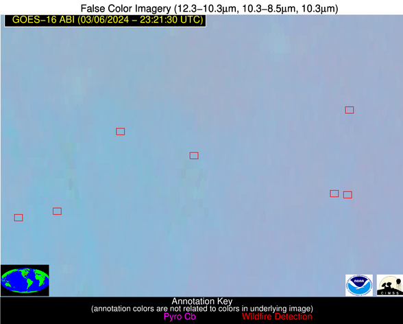
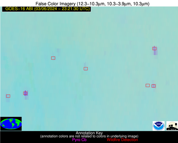
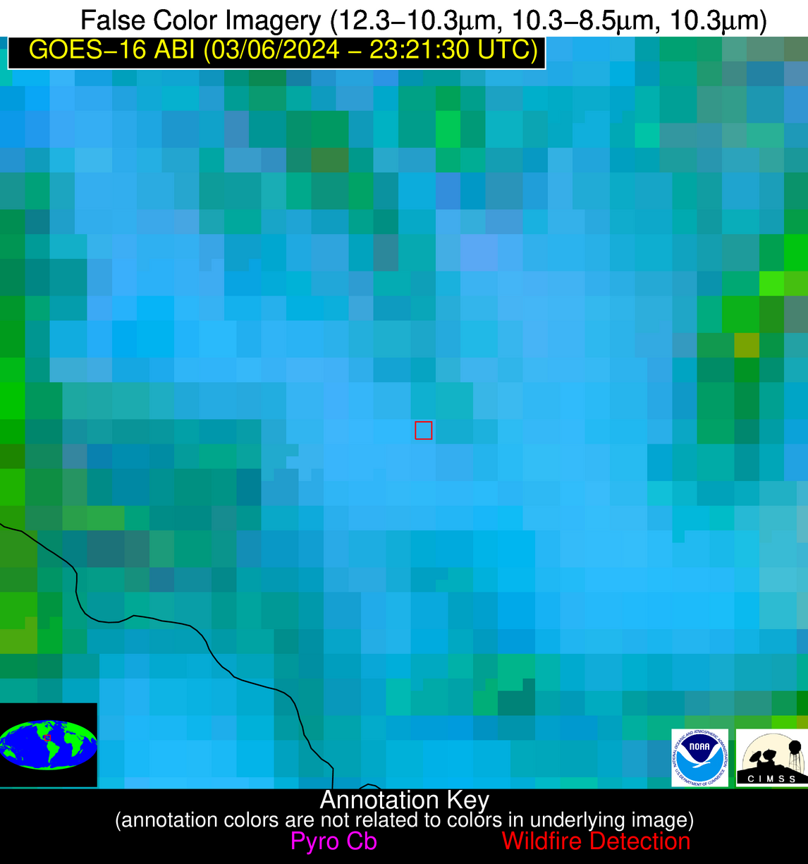
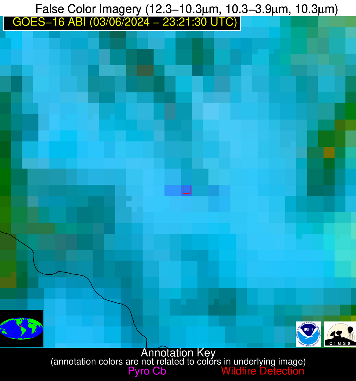
| Latest Satellite Imagery: | |
| View all event imagery » | |
Possible Wildfire
| Basic Information | |
|---|---|
| State/Province(s) | MO |
| Country/Countries | USA |
| County/Locality(s) | Benton County, MO |
| NWS WFO | Springfield MO |
| Identification Method | Enhanced Contextual (Cloud) |
| Mean Object Date/Time | 2024-03-06 23:21:50UTC |
| Radiative Center (Lat, Lon): | 38.110000°, -93.490000° |
| Nearby Counties (meeting alert criteria): |
|
| Total Radiative Power Anomaly | n/a |
| Total Radiative Power | 38.20 MW |
| Map: | |
| Additional Information | |
| Alert Status | New Feature |
| Type of Event | Nominal Risk |
| Event Priority Ranking | 4 |
| Maximum Observed BT (3.9 um) | 301.04 K |
| Observed - Background BT (3.9 um) | 15.12 K |
| BT Anomaly (3.9 um) | 25.03 K |
| Maximum Observed - Clear RTM BT (3.9 um) | 19.75 K |
| Maximum Observed BTD (3.9-10/11/12 um) | 17.08 K |
| Observed - Background BTD (3.9-10/11/12 um) | 14.76 K |
| BTD Anomaly (3.9-10/11/12 um) | 102.02 K |
| Similar Pixel Count | 0 |
| BT Time Tendency (3.9 um) | 13.70 K |
| Image Interval | 5.00 minutes |
| Fraction of Surrounding LWIR Pixels that are Colder | 0.66 |
| Fraction of Surrounding Red Channel Pixels that are Brighter | 1.00 |
| Maximum Radiative Power | 38.20 MW |
| Maximum Radiative Power Uncertainty | 0.00 MW |
| Total Radiative Power Uncertainty | 0.00 MW |
| Mean Viewing Angle | 48.40° |
| Mean Solar Zenith Angle | 81.10° |
| Mean Glint Angle | 73.90° |
| Water Fraction | 0.00 |
| Total Pixel Area | 6.90 km2 |
| Latest Satellite Imagery: | |
| View all event imagery » | |
Possible Wildfire
| Basic Information | |
|---|---|
| State/Province(s) | Unknown |
| Country/Countries | Cuba |
| County/Locality(s) | Cuba |
| NWS WFO | N/A |
| Identification Method | Enhanced Contextual (Clear) |
| Mean Object Date/Time | 2024-03-06 23:23:22UTC |
| Radiative Center (Lat, Lon): | 21.080000°, -78.180000° |
| Nearby Counties (meeting alert criteria): |
|
| Total Radiative Power Anomaly | n/a |
| Total Radiative Power | 29.20 MW |
| Map: | |
| Additional Information | |
| Alert Status | New Feature |
| Type of Event | Nominal Risk |
| Event Priority Ranking | 4 |
| Maximum Observed BT (3.9 um) | 304.54 K |
| Observed - Background BT (3.9 um) | 10.63 K |
| BT Anomaly (3.9 um) | 12.60 K |
| Maximum Observed - Clear RTM BT (3.9 um) | 9.08 K |
| Maximum Observed BTD (3.9-10/11/12 um) | 18.00 K |
| Observed - Background BTD (3.9-10/11/12 um) | 11.05 K |
| BTD Anomaly (3.9-10/11/12 um) | 12.07 K |
| Similar Pixel Count | 4 |
| BT Time Tendency (3.9 um) | 6.20 K |
| Image Interval | 5.00 minutes |
| Fraction of Surrounding LWIR Pixels that are Colder | 0.65 |
| Fraction of Surrounding Red Channel Pixels that are Brighter | 1.00 |
| Maximum Radiative Power | 29.20 MW |
| Maximum Radiative Power Uncertainty | 0.00 MW |
| Total Radiative Power Uncertainty | 0.00 MW |
| Mean Viewing Angle | 25.00° |
| Mean Solar Zenith Angle | 91.40° |
| Mean Glint Angle | 90.20° |
| Water Fraction | 0.00 |
| Total Pixel Area | 4.60 km2 |
| Latest Satellite Imagery: | |
| View all event imagery » | |


