Wildfire Alert Report
| Date: | 2024-03-06 |
|---|---|
| Time: | 15:06:17 |
| Production Date and Time: | 2024-03-06 15:10:56 UTC |
| Primary Instrument: | GOES-16 ABI |
| Wmo Spacecraft Id: | 152 |
| Location/orbit: | GEO |
| L1 File: | OR_ABI-L1b-RadC-M6C14_G16_s20240661506171_e20240661508544_c20240661509020.nc |
| L1 File(s) - Temporal | OR_ABI-L1b-RadC-M6C14_G16_s20240661501171_e20240661503544_c20240661504048.nc |
| Number Of Thermal Anomaly Alerts: | 3 |
Possible Wildfire
| Basic Information | |
|---|---|
| State/Province(s) | KS |
| Country/Countries | USA |
| County/Locality(s) | Saline County, KS |
| NWS WFO | Wichita KS |
| Identification Method | Enhanced Contextual (Clear) |
| Mean Object Date/Time | 2024-03-06 15:06:50UTC |
| Radiative Center (Lat, Lon): | 38.800000°, -97.630000° |
| Nearby Counties (meeting alert criteria): |
|
| Total Radiative Power Anomaly | n/a |
| Total Radiative Power | 30.92 MW |
| Map: | |
| Additional Information | |
| Alert Status | New Feature |
| Type of Event | Nominal Risk |
| Event Priority Ranking | 4 |
| Maximum Observed BT (3.9 um) | 297.81 K |
| Observed - Background BT (3.9 um) | 11.46 K |
| BT Anomaly (3.9 um) | 11.67 K |
| Maximum Observed - Clear RTM BT (3.9 um) | 17.97 K |
| Maximum Observed BTD (3.9-10/11/12 um) | 20.89 K |
| Observed - Background BTD (3.9-10/11/12 um) | 11.90 K |
| BTD Anomaly (3.9-10/11/12 um) | 10.30 K |
| Similar Pixel Count | 8 |
| BT Time Tendency (3.9 um) | 4.50 K |
| Image Interval | 5.00 minutes |
| Fraction of Surrounding LWIR Pixels that are Colder | 0.56 |
| Fraction of Surrounding Red Channel Pixels that are Brighter | 0.31 |
| Maximum Radiative Power | 30.92 MW |
| Maximum Radiative Power Uncertainty | 0.00 MW |
| Total Radiative Power Uncertainty | 0.00 MW |
| Mean Viewing Angle | 50.90° |
| Mean Solar Zenith Angle | 66.80° |
| Mean Glint Angle | 112.50° |
| Water Fraction | 0.00 |
| Total Pixel Area | 7.50 km2 |
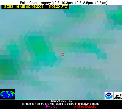
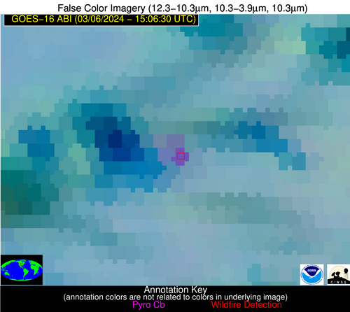
| Latest Satellite Imagery: | |
| View all event imagery » | |
Possible Wildfire
| Basic Information | |
|---|---|
| State/Province(s) | TX |
| Country/Countries | USA |
| County/Locality(s) | Collin County, TX |
| NWS WFO | Fort Worth TX |
| Identification Method | Enhanced Contextual (Clear) |
| Mean Object Date/Time | 2024-03-06 15:07:20UTC |
| Radiative Center (Lat, Lon): | 33.360000°, -96.800000° |
| Nearby Counties (meeting alert criteria): |
|
| Total Radiative Power Anomaly | n/a |
| Total Radiative Power | 17.12 MW |
| Map: | |
| Additional Information | |
| Alert Status | New Feature |
| Type of Event | Nominal Risk |
| Event Priority Ranking | 4 |
| Maximum Observed BT (3.9 um) | 296.02 K |
| Observed - Background BT (3.9 um) | 3.46 K |
| BT Anomaly (3.9 um) | 2.06 K |
| Maximum Observed - Clear RTM BT (3.9 um) | 6.80 K |
| Maximum Observed BTD (3.9-10/11/12 um) | 8.59 K |
| Observed - Background BTD (3.9-10/11/12 um) | 3.28 K |
| BTD Anomaly (3.9-10/11/12 um) | 3.63 K |
| Similar Pixel Count | 7 |
| BT Time Tendency (3.9 um) | 1.60 K |
| Image Interval | 5.00 minutes |
| Fraction of Surrounding LWIR Pixels that are Colder | 0.54 |
| Fraction of Surrounding Red Channel Pixels that are Brighter | 0.96 |
| Maximum Radiative Power | 8.75 MW |
| Maximum Radiative Power Uncertainty | 0.00 MW |
| Total Radiative Power Uncertainty | 0.00 MW |
| Mean Viewing Angle | 45.40° |
| Mean Solar Zenith Angle | 63.60° |
| Mean Glint Angle | 104.90° |
| Water Fraction | 0.00 |
| Total Pixel Area | 13.10 km2 |
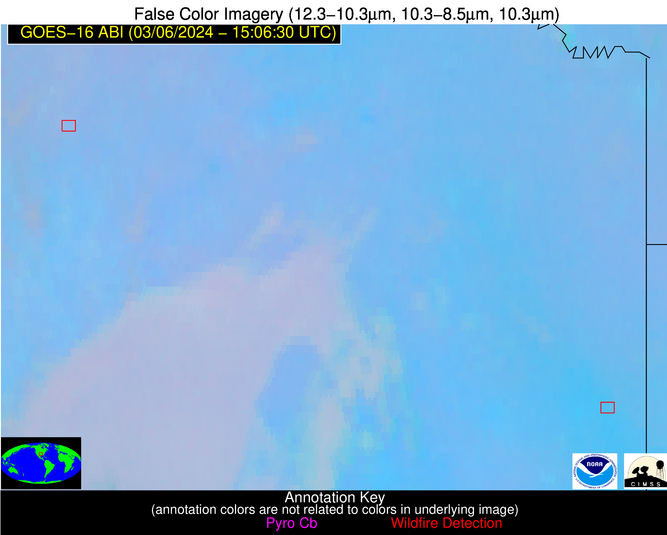
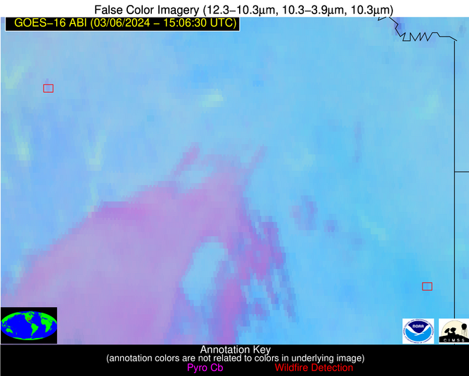
| Latest Satellite Imagery: | |
| View all event imagery » | |
Possible Wildfire
| Basic Information | |
|---|---|
| State/Province(s) | TX |
| Country/Countries | USA |
| County/Locality(s) | Harrison County, TX |
| NWS WFO | Shreveport LA |
| Identification Method | Enhanced Contextual (Clear) |
| Mean Object Date/Time | 2024-03-06 15:07:20UTC |
| Radiative Center (Lat, Lon): | 32.550000°, -94.240000° |
| Nearby Counties (meeting alert criteria): |
|
| Total Radiative Power Anomaly | n/a |
| Total Radiative Power | 5.73 MW |
| Map: | |
| Additional Information | |
| Alert Status | New Feature |
| Type of Event | Nominal Risk |
| Event Priority Ranking | 4 |
| Maximum Observed BT (3.9 um) | 296.60 K |
| Observed - Background BT (3.9 um) | 3.06 K |
| BT Anomaly (3.9 um) | 3.13 K |
| Maximum Observed - Clear RTM BT (3.9 um) | 5.97 K |
| Maximum Observed BTD (3.9-10/11/12 um) | 8.41 K |
| Observed - Background BTD (3.9-10/11/12 um) | 2.68 K |
| BTD Anomaly (3.9-10/11/12 um) | 4.27 K |
| Similar Pixel Count | 19 |
| BT Time Tendency (3.9 um) | 1.60 K |
| Image Interval | 5.00 minutes |
| Fraction of Surrounding LWIR Pixels that are Colder | 0.83 |
| Fraction of Surrounding Red Channel Pixels that are Brighter | 1.00 |
| Maximum Radiative Power | 5.73 MW |
| Maximum Radiative Power Uncertainty | 0.00 MW |
| Total Radiative Power Uncertainty | 0.00 MW |
| Mean Viewing Angle | 43.30° |
| Mean Solar Zenith Angle | 61.30° |
| Mean Glint Angle | 100.40° |
| Water Fraction | 0.00 |
| Total Pixel Area | 6.20 km2 |
| Latest Satellite Imagery: | |
| View all event imagery » | |


