Wildfire Alert Report
| Date: | 2024-03-05 |
|---|---|
| Time: | 23:16:17 |
| Production Date and Time: | 2024-03-05 23:21:03 UTC |
| Primary Instrument: | GOES-16 ABI |
| Wmo Spacecraft Id: | 152 |
| Location/orbit: | GEO |
| L1 File: | OR_ABI-L1b-RadC-M6C14_G16_s20240652316170_e20240652318543_c20240652319010.nc |
| L1 File(s) - Temporal | OR_ABI-L1b-RadC-M6C14_G16_s20240652311170_e20240652313543_c20240652314033.nc |
| Number Of Thermal Anomaly Alerts: | 3 |
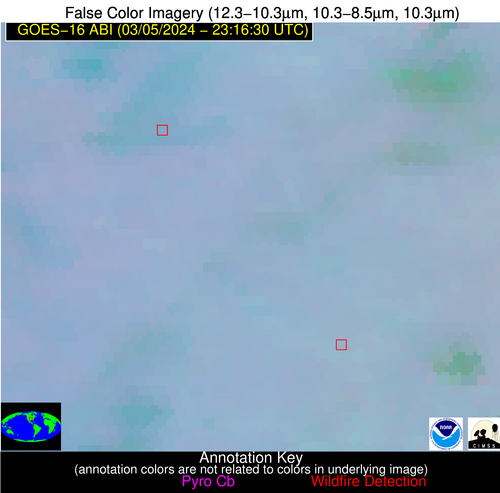
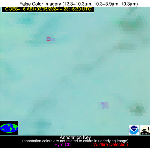
Possible Wildfire
| Basic Information | |
|---|---|
| State/Province(s) | KS |
| Country/Countries | USA |
| County/Locality(s) | Greenwood County, KS |
| NWS WFO | Wichita KS |
| Identification Method | Enhanced Contextual (Clear) |
| Mean Object Date/Time | 2024-03-05 23:16:50UTC |
| Radiative Center (Lat, Lon): | 38.110000°, -96.280000° |
| Nearby Counties (meeting alert criteria): |
|
| Total Radiative Power Anomaly | n/a |
| Total Radiative Power | 11.69 MW |
| Map: | |
| Additional Information | |
| Alert Status | New Feature |
| Type of Event | Nominal Risk |
| Event Priority Ranking | 4 |
| Maximum Observed BT (3.9 um) | 290.27 K |
| Observed - Background BT (3.9 um) | 5.87 K |
| BT Anomaly (3.9 um) | 14.83 K |
| Maximum Observed - Clear RTM BT (3.9 um) | 8.53 K |
| Maximum Observed BTD (3.9-10/11/12 um) | 9.75 K |
| Observed - Background BTD (3.9-10/11/12 um) | 6.81 K |
| BTD Anomaly (3.9-10/11/12 um) | 7.75 K |
| Similar Pixel Count | 2 |
| BT Time Tendency (3.9 um) | 2.40 K |
| Image Interval | 5.00 minutes |
| Fraction of Surrounding LWIR Pixels that are Colder | 0.16 |
| Fraction of Surrounding Red Channel Pixels that are Brighter | 0.99 |
| Maximum Radiative Power | 11.69 MW |
| Maximum Radiative Power Uncertainty | 0.00 MW |
| Total Radiative Power Uncertainty | 0.00 MW |
| Mean Viewing Angle | 49.60° |
| Mean Solar Zenith Angle | 78.30° |
| Mean Glint Angle | 71.40° |
| Water Fraction | 0.00 |
| Total Pixel Area | 7.20 km2 |
| Latest Satellite Imagery: | |
| View all event imagery » | |
Possible Wildfire
| Basic Information | |
|---|---|
| State/Province(s) | KS |
| Country/Countries | USA |
| County/Locality(s) | Wilson County, KS |
| NWS WFO | Wichita KS |
| Identification Method | Enhanced Contextual (Clear) |
| Mean Object Date/Time | 2024-03-05 23:16:50UTC |
| Radiative Center (Lat, Lon): | 37.570000°, -95.910000° |
| Nearby Counties (meeting alert criteria): |
|
| Total Radiative Power Anomaly | n/a |
| Total Radiative Power | 33.31 MW |
| Map: | |
| Additional Information | |
| Alert Status | New Feature |
| Type of Event | Nominal Risk |
| Event Priority Ranking | 4 |
| Maximum Observed BT (3.9 um) | 291.15 K |
| Observed - Background BT (3.9 um) | 7.01 K |
| BT Anomaly (3.9 um) | 19.24 K |
| Maximum Observed - Clear RTM BT (3.9 um) | 8.15 K |
| Maximum Observed BTD (3.9-10/11/12 um) | 9.76 K |
| Observed - Background BTD (3.9-10/11/12 um) | 7.04 K |
| BTD Anomaly (3.9-10/11/12 um) | 20.75 K |
| Similar Pixel Count | 3 |
| BT Time Tendency (3.9 um) | 2.40 K |
| Image Interval | 5.00 minutes |
| Fraction of Surrounding LWIR Pixels that are Colder | 0.43 |
| Fraction of Surrounding Red Channel Pixels that are Brighter | 1.00 |
| Maximum Radiative Power | 33.31 MW |
| Maximum Radiative Power Uncertainty | 0.00 MW |
| Total Radiative Power Uncertainty | 0.00 MW |
| Mean Viewing Angle | 48.90° |
| Mean Solar Zenith Angle | 78.40° |
| Mean Glint Angle | 71.40° |
| Water Fraction | 0.00 |
| Total Pixel Area | 21.30 km2 |
| Latest Satellite Imagery: | |
| View all event imagery » | |
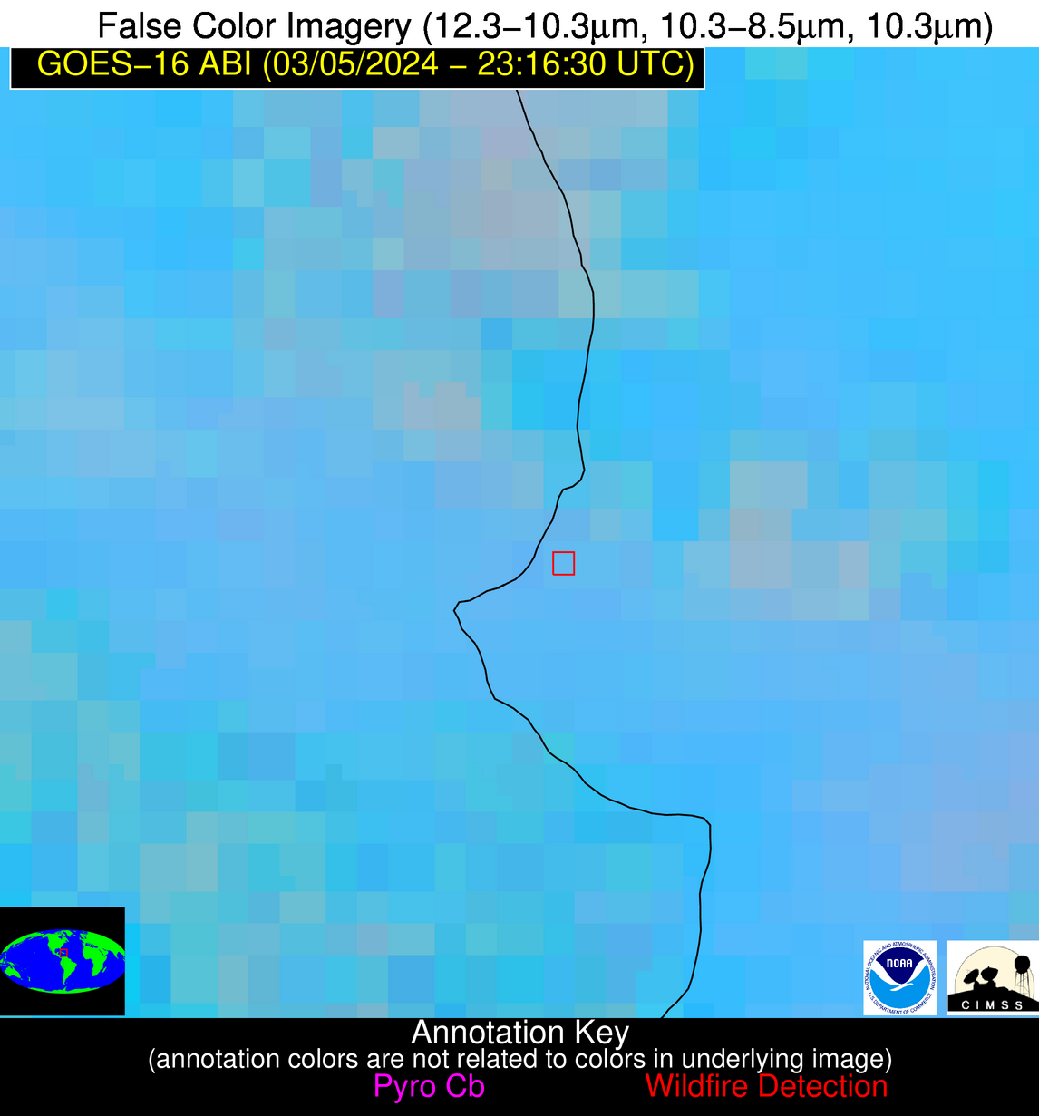
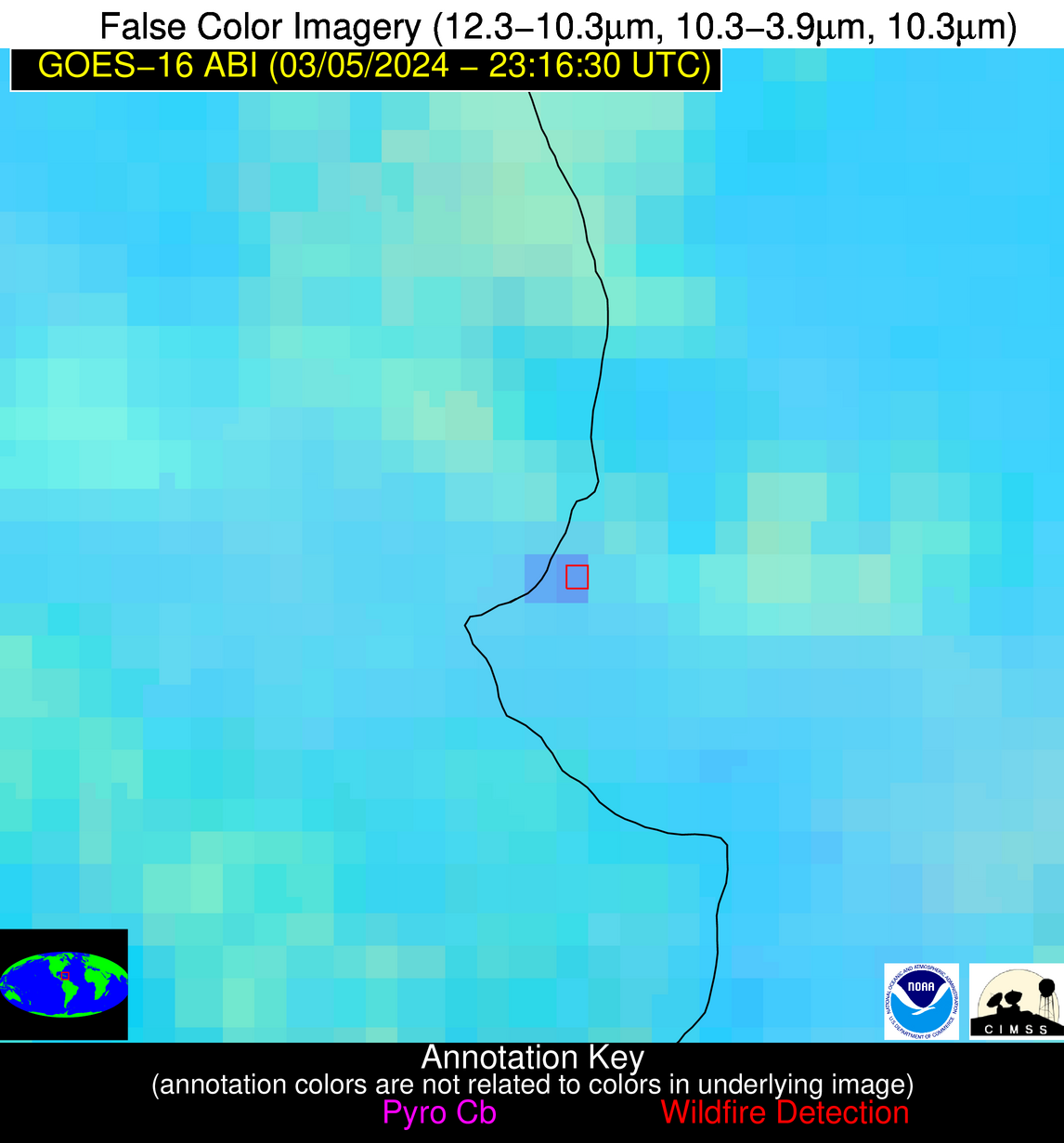
Possible Wildfire
| Basic Information | |
|---|---|
| State/Province(s) | Unknown |
| Country/Countries | Dominican Republic |
| County/Locality(s) | Dominican Republic |
| NWS WFO | N/A |
| Identification Method | Enhanced Contextual (Clear) |
| Mean Object Date/Time | 2024-03-05 23:18:53UTC |
| Radiative Center (Lat, Lon): | 19.360000°, -71.710000° |
| Nearby Counties (meeting alert criteria): |
|
| Total Radiative Power Anomaly | n/a |
| Total Radiative Power | 25.91 MW |
| Map: | |
| Additional Information | |
| Alert Status | New Feature |
| Type of Event | Nominal Risk |
| Event Priority Ranking | 4 |
| Maximum Observed BT (3.9 um) | 298.48 K |
| Observed - Background BT (3.9 um) | 6.93 K |
| BT Anomaly (3.9 um) | 3.47 K |
| Maximum Observed - Clear RTM BT (3.9 um) | 6.98 K |
| Maximum Observed BTD (3.9-10/11/12 um) | 10.69 K |
| Observed - Background BTD (3.9-10/11/12 um) | 7.12 K |
| BTD Anomaly (3.9-10/11/12 um) | 6.91 K |
| Similar Pixel Count | 2 |
| BT Time Tendency (3.9 um) | 4.90 K |
| Image Interval | 5.00 minutes |
| Fraction of Surrounding LWIR Pixels that are Colder | 0.53 |
| Fraction of Surrounding Red Channel Pixels that are Brighter | 1.00 |
| Maximum Radiative Power | 15.06 MW |
| Maximum Radiative Power Uncertainty | 0.00 MW |
| Total Radiative Power Uncertainty | 0.00 MW |
| Mean Viewing Angle | 23.10° |
| Mean Solar Zenith Angle | 96.20° |
| Mean Glint Angle | 101.50° |
| Water Fraction | 0.00 |
| Total Pixel Area | 9.00 km2 |
| Latest Satellite Imagery: | |
| View all event imagery » | |


