Wildfire Alert Report
| Date: | 2024-03-05 |
|---|---|
| Time: | 20:36:17 |
| Production Date and Time: | 2024-03-05 20:41:00 UTC |
| Primary Instrument: | GOES-16 ABI |
| Wmo Spacecraft Id: | 152 |
| Location/orbit: | GEO |
| L1 File: | OR_ABI-L1b-RadC-M6C14_G16_s20240652036170_e20240652038543_c20240652039018.nc |
| L1 File(s) - Temporal | OR_ABI-L1b-RadC-M6C14_G16_s20240652031170_e20240652033543_c20240652034014.nc |
| Number Of Thermal Anomaly Alerts: | 2 |
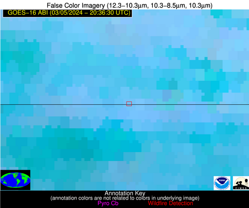
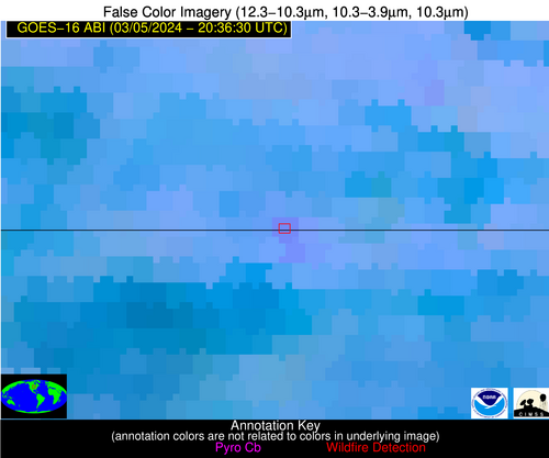
Possible Wildfire
| Basic Information | |
|---|---|
| State/Province(s) | IA |
| Country/Countries | USA |
| County/Locality(s) | Emmet County, IA |
| NWS WFO | Twin Cities/Chanhassen MN |
| Identification Method | Enhanced Contextual (Clear) |
| Mean Object Date/Time | 2024-03-05 20:36:20UTC |
| Radiative Center (Lat, Lon): | 43.500°, -94.700° |
| Nearby Counties (meeting alert criteria): |
|
| Total Radiative Power Anomaly | n/a |
| Total Radiative Power | 16.15 MW |
| Map: | |
| Additional Information | |
| Alert Status | New Feature |
| Type of Event | Nominal Risk |
| Event Priority Ranking | 4 |
| Maximum Observed BT (3.9 um) | 303.09 K |
| Observed - Background BT (3.9 um) | 4.92 K |
| BT Anomaly (3.9 um) | 5.34 K |
| Maximum Observed - Clear RTM BT (3.9 um) | 23.16 K |
| Maximum Observed BTD (3.9-10/11/12 um) | 13.24 K |
| Observed - Background BTD (3.9-10/11/12 um) | 4.05 K |
| BTD Anomaly (3.9-10/11/12 um) | 5.02 K |
| Similar Pixel Count | 25 |
| BT Time Tendency (3.9 um) | 4.20 K |
| Image Interval | 5.00 minutes |
| Fraction of Surrounding LWIR Pixels that are Colder | 0.90 |
| Fraction of Surrounding Red Channel Pixels that are Brighter | 1.00 |
| Maximum Radiative Power | 16.15 MW |
| Maximum Radiative Power Uncertainty | 0.00 MW |
| Total Radiative Power Uncertainty | 0.00 MW |
| Mean Viewing Angle | 54.20° |
| Mean Solar Zenith Angle | 57.20° |
| Mean Glint Angle | 88.10° |
| Water Fraction | 0.00 |
| Total Pixel Area | 8.20 km2 |
| Latest Satellite Imagery: | |
| View all event imagery » | |
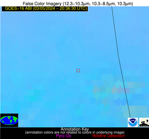
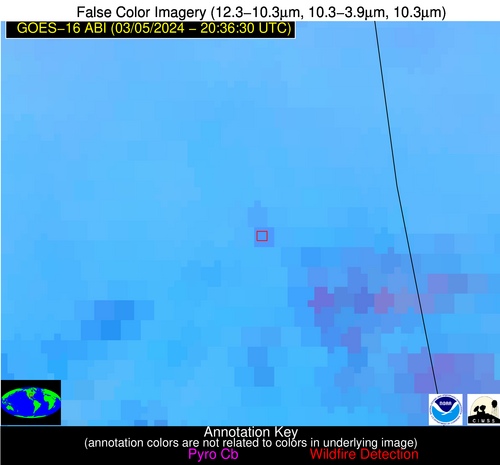
Possible Wildfire
| Basic Information | |
|---|---|
| State/Province(s) | OK |
| Country/Countries | USA |
| County/Locality(s) | Adair County, OK |
| NWS WFO | Tulsa OK |
| Identification Method | Enhanced Contextual (Clear) |
| Mean Object Date/Time | 2024-03-05 20:37:20UTC |
| Radiative Center (Lat, Lon): | 35.940°, -94.720° |
| Nearby Counties (meeting alert criteria): |
|
| Total Radiative Power Anomaly | n/a |
| Total Radiative Power | 16.27 MW |
| Map: | |
| Additional Information | |
| Alert Status | New Feature |
| Type of Event | Nominal Risk, Known Incident: NATURE FIRE (LOW, tdiff=6.00802 days, PERIMETER) |
| Event Priority Ranking | 4 |
| Maximum Observed BT (3.9 um) | 304.54 K |
| Observed - Background BT (3.9 um) | 5.65 K |
| BT Anomaly (3.9 um) | 7.33 K |
| Maximum Observed - Clear RTM BT (3.9 um) | 15.49 K |
| Maximum Observed BTD (3.9-10/11/12 um) | 11.99 K |
| Observed - Background BTD (3.9-10/11/12 um) | 4.69 K |
| BTD Anomaly (3.9-10/11/12 um) | 6.30 K |
| Similar Pixel Count | 8 |
| BT Time Tendency (3.9 um) | 4.70 K |
| Image Interval | 5.00 minutes |
| Fraction of Surrounding LWIR Pixels that are Colder | 0.97 |
| Fraction of Surrounding Red Channel Pixels that are Brighter | 1.00 |
| Maximum Radiative Power | 16.27 MW |
| Maximum Radiative Power Uncertainty | 0.00 MW |
| Total Radiative Power Uncertainty | 0.00 MW |
| Mean Viewing Angle | 46.80° |
| Mean Solar Zenith Angle | 51.40° |
| Mean Glint Angle | 75.00° |
| Water Fraction | 0.00 |
| Total Pixel Area | 6.70 km2 |
| Latest Satellite Imagery: | |
| View all event imagery » | |


