Wildfire Alert Report
| Date: | 2024-03-04 |
|---|---|
| Time: | 22:06:24 |
| Production Date and Time: | 2024-03-04 22:07:06 UTC |
| Primary Instrument: | GOES-16 ABI |
| Wmo Spacecraft Id: | 152 |
| Location/orbit: | GEO |
| L1 File: | OR_ABI-L1b-RadM1-M6C14_G16_s20240642206249_e20240642206306_c20240642206367.nc |
| L1 File(s) - Temporal | OR_ABI-L1b-RadM1-M6C14_G16_s20240642205249_e20240642205306_c20240642205374.nc |
| Number Of Thermal Anomaly Alerts: | 2 |
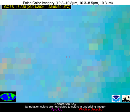
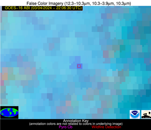
Possible Wildfire
| Basic Information | |
|---|---|
| State/Province(s) | IN |
| Country/Countries | USA |
| County/Locality(s) | Marshall County, IN |
| NWS WFO | Northern Indiana IN |
| Identification Method | Enhanced Contextual (Clear) |
| Mean Object Date/Time | 2024-03-04 22:06:27UTC |
| Radiative Center (Lat, Lon): | 41.400000°, -86.320000° |
| Nearby Counties (meeting alert criteria): |
|
| Total Radiative Power Anomaly | n/a |
| Total Radiative Power | 28.08 MW |
| Map: | |
| Additional Information | |
| Alert Status | New Feature |
| Type of Event | Nominal Risk |
| Event Priority Ranking | 4 |
| Maximum Observed BT (3.9 um) | 301.61 K |
| Observed - Background BT (3.9 um) | 9.81 K |
| BT Anomaly (3.9 um) | 12.45 K |
| Maximum Observed - Clear RTM BT (3.9 um) | 12.74 K |
| Maximum Observed BTD (3.9-10/11/12 um) | 14.87 K |
| Observed - Background BTD (3.9-10/11/12 um) | 8.79 K |
| BTD Anomaly (3.9-10/11/12 um) | 7.38 K |
| Similar Pixel Count | 2 |
| BT Time Tendency (3.9 um) | 5.10 K |
| Image Interval | 1.00 minutes |
| Fraction of Surrounding LWIR Pixels that are Colder | 0.90 |
| Fraction of Surrounding Red Channel Pixels that are Brighter | 1.00 |
| Maximum Radiative Power | 28.08 MW |
| Maximum Radiative Power Uncertainty | 0.00 MW |
| Total Radiative Power Uncertainty | 0.00 MW |
| Mean Viewing Angle | 49.40° |
| Mean Solar Zenith Angle | 74.20° |
| Mean Glint Angle | 85.20° |
| Water Fraction | 0.00 |
| Total Pixel Area | 6.90 km2 |
| Latest Satellite Imagery: | |
| View all event imagery » | |
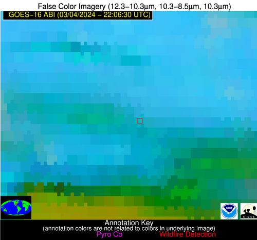
Possible Wildfire
| Basic Information | |
|---|---|
| State/Province(s) | AR |
| Country/Countries | USA |
| County/Locality(s) | Lee County, AR |
| NWS WFO | Memphis TN |
| Identification Method | Enhanced Contextual (Cloud) |
| Mean Object Date/Time | 2024-03-04 22:06:29UTC |
| Radiative Center (Lat, Lon): | 34.650000°, -91.010000° |
| Nearby Counties (meeting alert criteria): |
|
| Total Radiative Power Anomaly | n/a |
| Total Radiative Power | 99.25 MW |
| Map: | |
| Additional Information | |
| Alert Status | New Feature |
| Type of Event | Nominal Risk |
| Event Priority Ranking | 4 |
| Maximum Observed BT (3.9 um) | 306.13 K |
| Observed - Background BT (3.9 um) | 15.58 K |
| BT Anomaly (3.9 um) | 14.54 K |
| Maximum Observed - Clear RTM BT (3.9 um) | 14.96 K |
| Maximum Observed BTD (3.9-10/11/12 um) | 30.04 K |
| Observed - Background BTD (3.9-10/11/12 um) | 14.98 K |
| BTD Anomaly (3.9-10/11/12 um) | 13.49 K |
| Similar Pixel Count | 0 |
| BT Time Tendency (3.9 um) | 9.20 K |
| Image Interval | 1.00 minutes |
| Fraction of Surrounding LWIR Pixels that are Colder | 0.41 |
| Fraction of Surrounding Red Channel Pixels that are Brighter | 0.64 |
| Maximum Radiative Power | 60.94 MW |
| Maximum Radiative Power Uncertainty | 0.00 MW |
| Total Radiative Power Uncertainty | 0.00 MW |
| Mean Viewing Angle | 43.90° |
| Mean Solar Zenith Angle | 68.10° |
| Mean Glint Angle | 73.50° |
| Water Fraction | 0.00 |
| Total Pixel Area | 12.40 km2 |
| Latest Satellite Imagery: | |
| View all event imagery » | |


