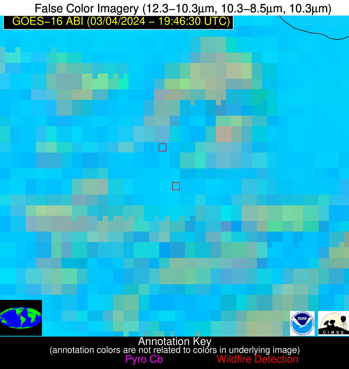
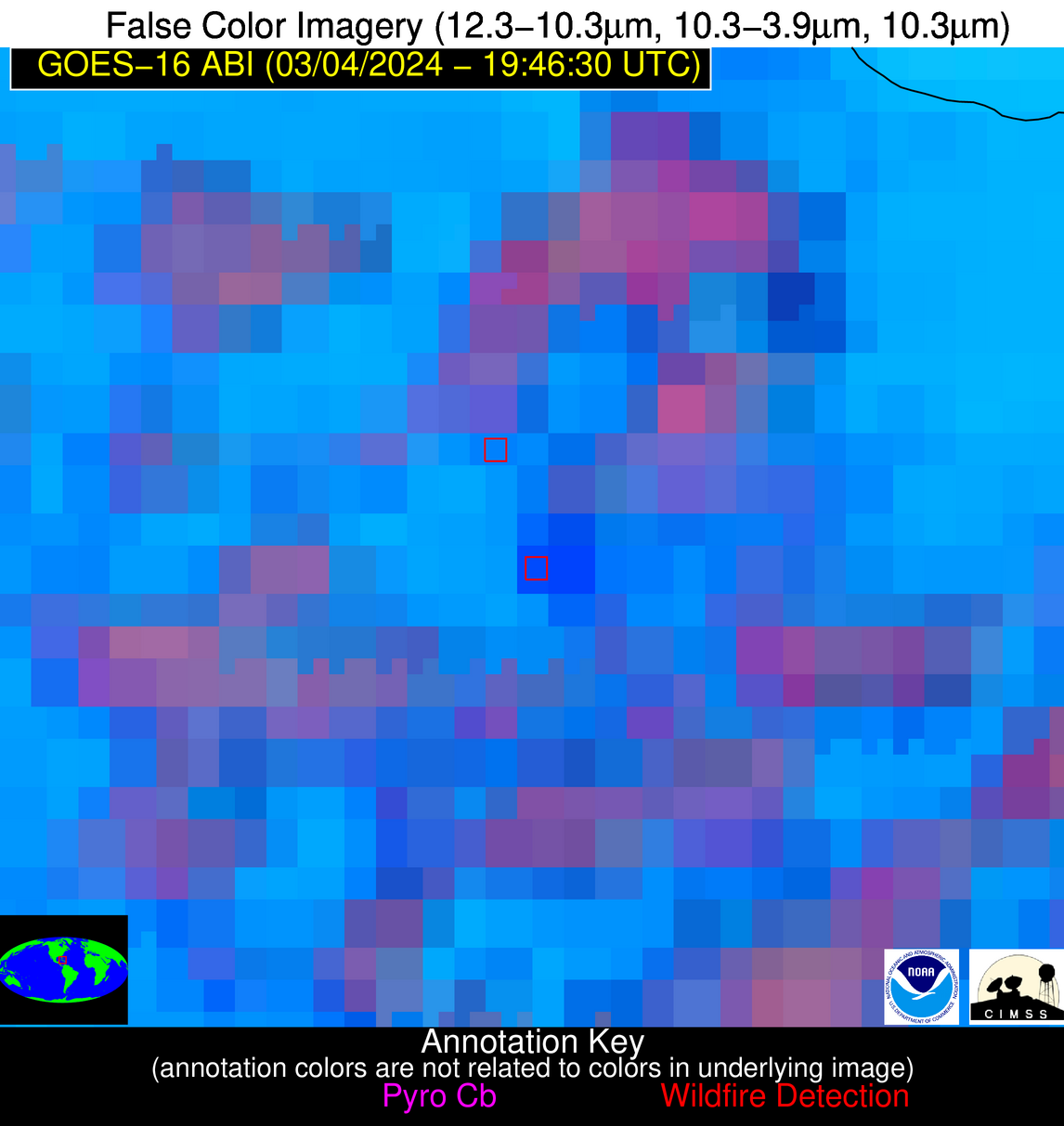
Wildfire Alert Report
| Date: | 2024-03-04 |
|---|---|
| Time: | 19:46:17 |
| Production Date and Time: | 2024-03-04 19:51:06 UTC |
| Primary Instrument: | GOES-16 ABI |
| Wmo Spacecraft Id: | 152 |
| Location/orbit: | GEO |
| L1 File: | OR_ABI-L1b-RadC-M6C14_G16_s20240641946170_e20240641948543_c20240641949033.nc |
| L1 File(s) - Temporal | OR_ABI-L1b-RadC-M6C14_G16_s20240641941170_e20240641943543_c20240641944039.nc |
| Number Of Thermal Anomaly Alerts: | 5 |
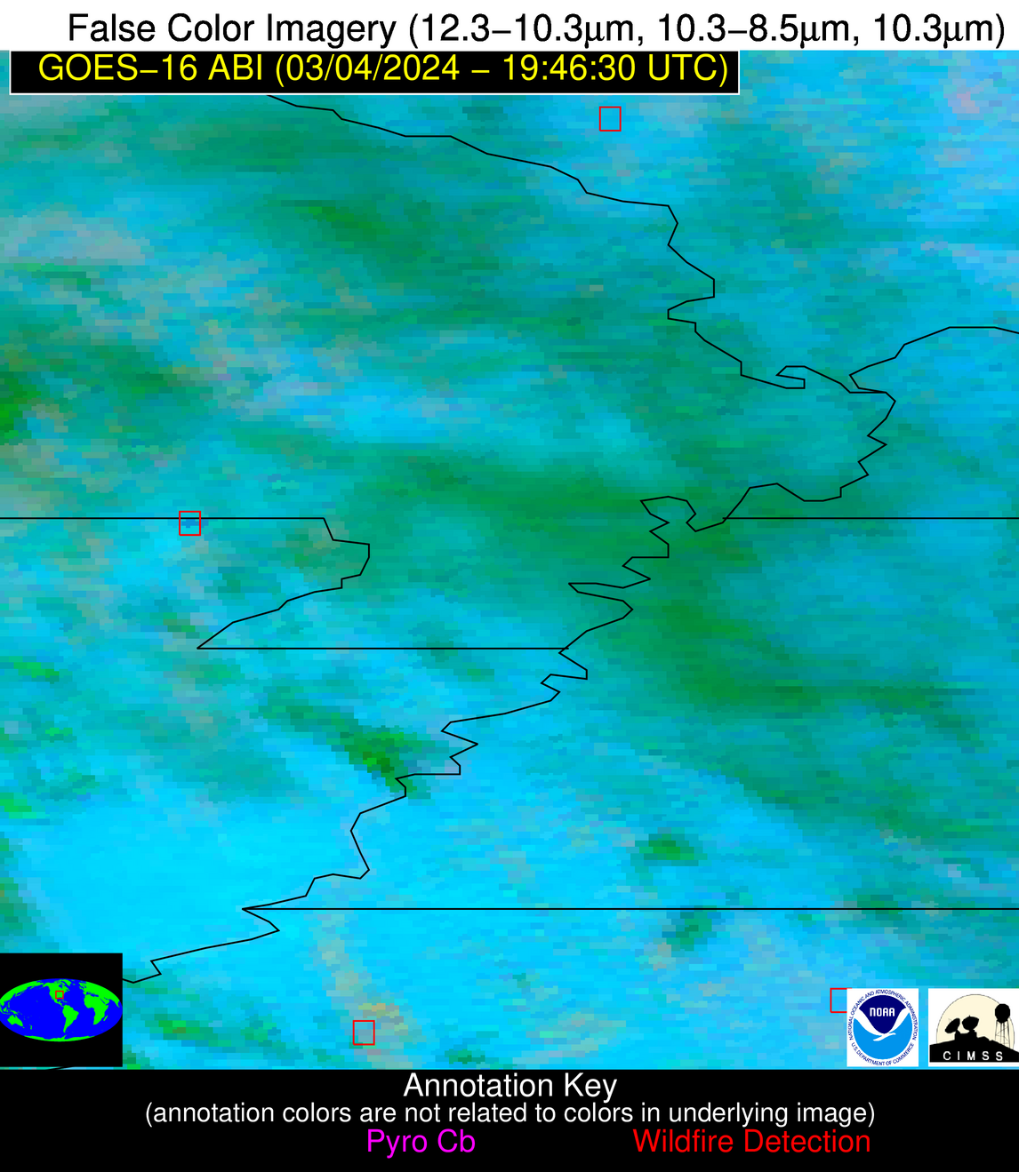
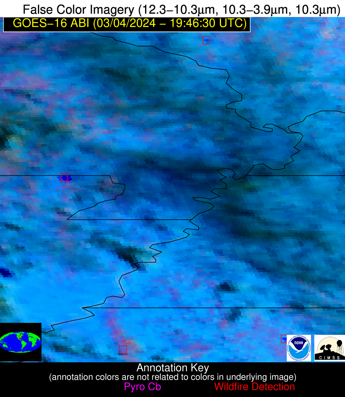
Possible Wildfire
| Basic Information | |
|---|---|
| State/Province(s) | IL |
| Country/Countries | USA |
| County/Locality(s) | Randolph County, IL |
| NWS WFO | St Louis MO |
| Identification Method | Enhanced Contextual (Cloud) |
| Mean Object Date/Time | 2024-03-04 19:46:51UTC |
| Radiative Center (Lat, Lon): | 38.030000°, -89.620000° |
| Nearby Counties (meeting alert criteria): |
|
| Total Radiative Power Anomaly | n/a |
| Total Radiative Power | 48.22 MW |
| Map: | |
| Additional Information | |
| Alert Status | New Feature |
| Type of Event | Nominal Risk |
| Event Priority Ranking | 4 |
| Maximum Observed BT (3.9 um) | 309.33 K |
| Observed - Background BT (3.9 um) | 12.01 K |
| BT Anomaly (3.9 um) | 9.80 K |
| Maximum Observed - Clear RTM BT (3.9 um) | 17.09 K |
| Maximum Observed BTD (3.9-10/11/12 um) | 26.49 K |
| Observed - Background BTD (3.9-10/11/12 um) | 11.57 K |
| BTD Anomaly (3.9-10/11/12 um) | 8.34 K |
| Similar Pixel Count | 0 |
| BT Time Tendency (3.9 um) | 6.00 K |
| Image Interval | 5.00 minutes |
| Fraction of Surrounding LWIR Pixels that are Colder | 0.86 |
| Fraction of Surrounding Red Channel Pixels that are Brighter | 0.58 |
| Maximum Radiative Power | 48.22 MW |
| Maximum Radiative Power Uncertainty | 0.00 MW |
| Total Radiative Power Uncertainty | 0.00 MW |
| Mean Viewing Angle | 46.80° |
| Mean Solar Zenith Angle | 49.80° |
| Mean Glint Angle | 83.20° |
| Water Fraction | 0.00 |
| Total Pixel Area | 6.60 km2 |
| Latest Satellite Imagery: | |
| View all event imagery » | |
Possible Wildfire
| Basic Information | |
|---|---|
| State/Province(s) | AR |
| Country/Countries | USA |
| County/Locality(s) | Clay County, AR |
| NWS WFO | Memphis TN |
| Identification Method | Enhanced Contextual (Cloud) |
| Mean Object Date/Time | 2024-03-04 19:46:51UTC |
| Radiative Center (Lat, Lon): | 36.480000°, -90.400000° |
| Nearby Counties (meeting alert criteria): |
|
| Total Radiative Power Anomaly | n/a |
| Total Radiative Power | 1283.84 MW |
| Map: | |
| Additional Information | |
| Alert Status | New Feature |
| Type of Event | Nominal Risk |
| Event Priority Ranking | 4 |
| Maximum Observed BT (3.9 um) | 345.77 K |
| Observed - Background BT (3.9 um) | 47.60 K |
| BT Anomaly (3.9 um) | 25.40 K |
| Maximum Observed - Clear RTM BT (3.9 um) | 53.46 K |
| Maximum Observed BTD (3.9-10/11/12 um) | 64.79 K |
| Observed - Background BTD (3.9-10/11/12 um) | 46.16 K |
| BTD Anomaly (3.9-10/11/12 um) | 26.00 K |
| Similar Pixel Count | 0 |
| BT Time Tendency (3.9 um) | 45.40 K |
| Image Interval | 5.00 minutes |
| Fraction of Surrounding LWIR Pixels that are Colder | 0.87 |
| Fraction of Surrounding Red Channel Pixels that are Brighter | 0.09 |
| Maximum Radiative Power | 415.97 MW |
| Maximum Radiative Power Uncertainty | 0.00 MW |
| Total Radiative Power Uncertainty | 0.00 MW |
| Mean Viewing Angle | 45.50° |
| Mean Solar Zenith Angle | 48.20° |
| Mean Glint Angle | 80.00° |
| Water Fraction | 0.00 |
| Total Pixel Area | 38.50 km2 |
| Latest Satellite Imagery: | |
| View all event imagery » | |
Possible Wildfire
| Basic Information | |
|---|---|
| State/Province(s) | MS |
| Country/Countries | USA |
| County/Locality(s) | Benton County, MS |
| NWS WFO | Memphis TN |
| Identification Method | Enhanced Contextual (Cloud) |
| Mean Object Date/Time | 2024-03-04 19:47:21UTC |
| Radiative Center (Lat, Lon): | 34.650000°, -89.200000° |
| Nearby Counties (meeting alert criteria): |
|
| Total Radiative Power Anomaly | n/a |
| Total Radiative Power | 149.65 MW |
| Map: | |
| Additional Information | |
| Alert Status | New Feature |
| Type of Event | Nominal Risk |
| Event Priority Ranking | 4 |
| Maximum Observed BT (3.9 um) | 317.89 K |
| Observed - Background BT (3.9 um) | 17.01 K |
| BT Anomaly (3.9 um) | 23.97 K |
| Maximum Observed - Clear RTM BT (3.9 um) | 25.54 K |
| Maximum Observed BTD (3.9-10/11/12 um) | 29.73 K |
| Observed - Background BTD (3.9-10/11/12 um) | 16.67 K |
| BTD Anomaly (3.9-10/11/12 um) | 12.39 K |
| Similar Pixel Count | 0 |
| BT Time Tendency (3.9 um) | 15.10 K |
| Image Interval | 5.00 minutes |
| Fraction of Surrounding LWIR Pixels that are Colder | 0.72 |
| Fraction of Surrounding Red Channel Pixels that are Brighter | 0.41 |
| Maximum Radiative Power | 102.03 MW |
| Maximum Radiative Power Uncertainty | 0.00 MW |
| Total Radiative Power Uncertainty | 0.00 MW |
| Mean Viewing Angle | 43.10° |
| Mean Solar Zenith Angle | 47.20° |
| Mean Glint Angle | 76.80° |
| Water Fraction | 0.00 |
| Total Pixel Area | 18.20 km2 |
| Latest Satellite Imagery: | |
| View all event imagery » | |
Possible Wildfire
| Basic Information | |
|---|---|
| State/Province(s) | GA |
| Country/Countries | USA |
| County/Locality(s) | Burke County, GA |
| NWS WFO | Columbia SC |
| Identification Method | Enhanced Contextual (Cloud) |
| Mean Object Date/Time | 2024-03-04 19:47:22UTC |
| Radiative Center (Lat, Lon): | 32.960000°, -81.770000° |
| Nearby Counties (meeting alert criteria): |
|
| Total Radiative Power Anomaly | n/a |
| Total Radiative Power | 44.90 MW |
| Map: | |
| Additional Information | |
| Alert Status | New Feature |
| Type of Event | Nominal Risk |
| Event Priority Ranking | 4 |
| Maximum Observed BT (3.9 um) | 312.54 K |
| Observed - Background BT (3.9 um) | 12.82 K |
| BT Anomaly (3.9 um) | 14.97 K |
| Maximum Observed - Clear RTM BT (3.9 um) | 19.11 K |
| Maximum Observed BTD (3.9-10/11/12 um) | 21.84 K |
| Observed - Background BTD (3.9-10/11/12 um) | 12.24 K |
| BTD Anomaly (3.9-10/11/12 um) | 8.88 K |
| Similar Pixel Count | 0 |
| BT Time Tendency (3.9 um) | 11.80 K |
| Image Interval | 5.00 minutes |
| Fraction of Surrounding LWIR Pixels that are Colder | 0.74 |
| Fraction of Surrounding Red Channel Pixels that are Brighter | 0.69 |
| Maximum Radiative Power | 44.90 MW |
| Maximum Radiative Power Uncertainty | 0.00 MW |
| Total Radiative Power Uncertainty | 0.00 MW |
| Mean Viewing Angle | 39.20° |
| Mean Solar Zenith Angle | 49.70° |
| Mean Glint Angle | 76.90° |
| Water Fraction | 0.00 |
| Total Pixel Area | 5.60 km2 |
| Latest Satellite Imagery: | |
| View all event imagery » | |
Possible Wildfire
| Basic Information | |
|---|---|
| State/Province(s) | Unknown |
| Country/Countries | Cuba |
| County/Locality(s) | Cuba |
| NWS WFO | N/A |
| Identification Method | Enhanced Contextual (Cloud) |
| Mean Object Date/Time | 2024-03-04 19:48:22UTC |
| Radiative Center (Lat, Lon): | 22.020000°, -78.700000° |
| Nearby Counties (meeting alert criteria): |
|
| Total Radiative Power Anomaly | n/a |
| Total Radiative Power | 98.21 MW |
| Map: | |
| Additional Information | |
| Alert Status | New Feature |
| Type of Event | Nominal Risk |
| Event Priority Ranking | 4 |
| Maximum Observed BT (3.9 um) | 319.98 K |
| Observed - Background BT (3.9 um) | 14.81 K |
| BT Anomaly (3.9 um) | 9.90 K |
| Maximum Observed - Clear RTM BT (3.9 um) | 14.49 K |
| Maximum Observed BTD (3.9-10/11/12 um) | 27.15 K |
| Observed - Background BTD (3.9-10/11/12 um) | 13.72 K |
| BTD Anomaly (3.9-10/11/12 um) | 8.28 K |
| Similar Pixel Count | 0 |
| BT Time Tendency (3.9 um) | 7.80 K |
| Image Interval | 5.00 minutes |
| Fraction of Surrounding LWIR Pixels that are Colder | 1.00 |
| Fraction of Surrounding Red Channel Pixels that are Brighter | 0.95 |
| Maximum Radiative Power | 55.78 MW |
| Maximum Radiative Power Uncertainty | 0.00 MW |
| Total Radiative Power Uncertainty | 0.00 MW |
| Mean Viewing Angle | 26.20° |
| Mean Solar Zenith Angle | 44.50° |
| Mean Glint Angle | 59.90° |
| Water Fraction | 0.00 |
| Total Pixel Area | 9.30 km2 |
| Latest Satellite Imagery: | |
| View all event imagery » | |
