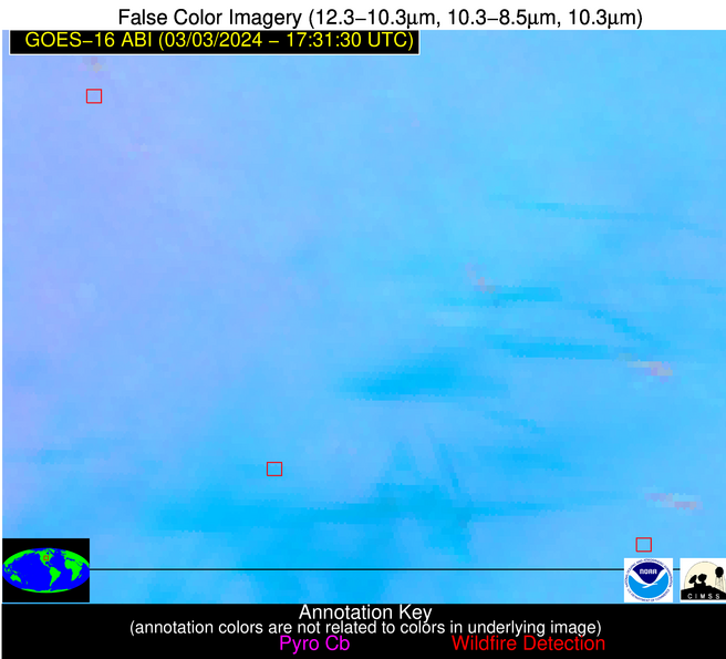
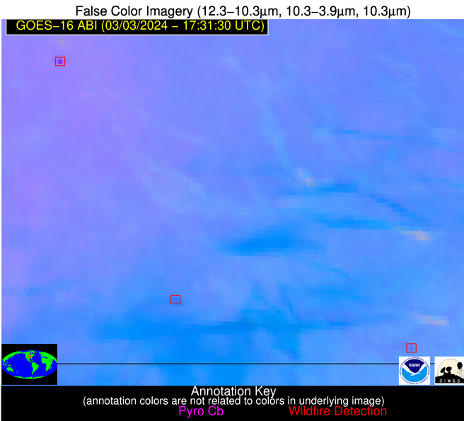
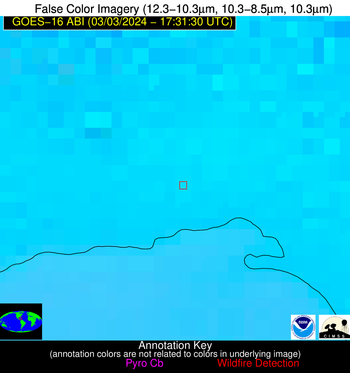
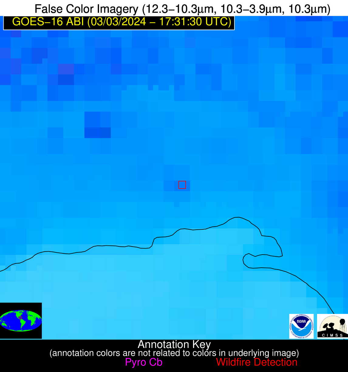
Wildfire Alert Report
| Date: | 2024-03-03 |
|---|---|
| Time: | 17:31:17 |
| Production Date and Time: | 2024-03-03 17:35:58 UTC |
| Primary Instrument: | GOES-16 ABI |
| Wmo Spacecraft Id: | 152 |
| Location/orbit: | GEO |
| L1 File: | OR_ABI-L1b-RadC-M6C14_G16_s20240631731176_e20240631733549_c20240631734034.nc |
| L1 File(s) - Temporal | OR_ABI-L1b-RadC-M6C14_G16_s20240631726176_e20240631728549_c20240631729036.nc |
| Number Of Thermal Anomaly Alerts: | 4 |
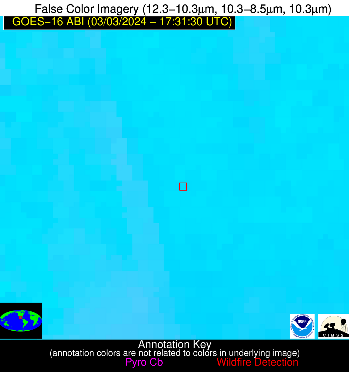
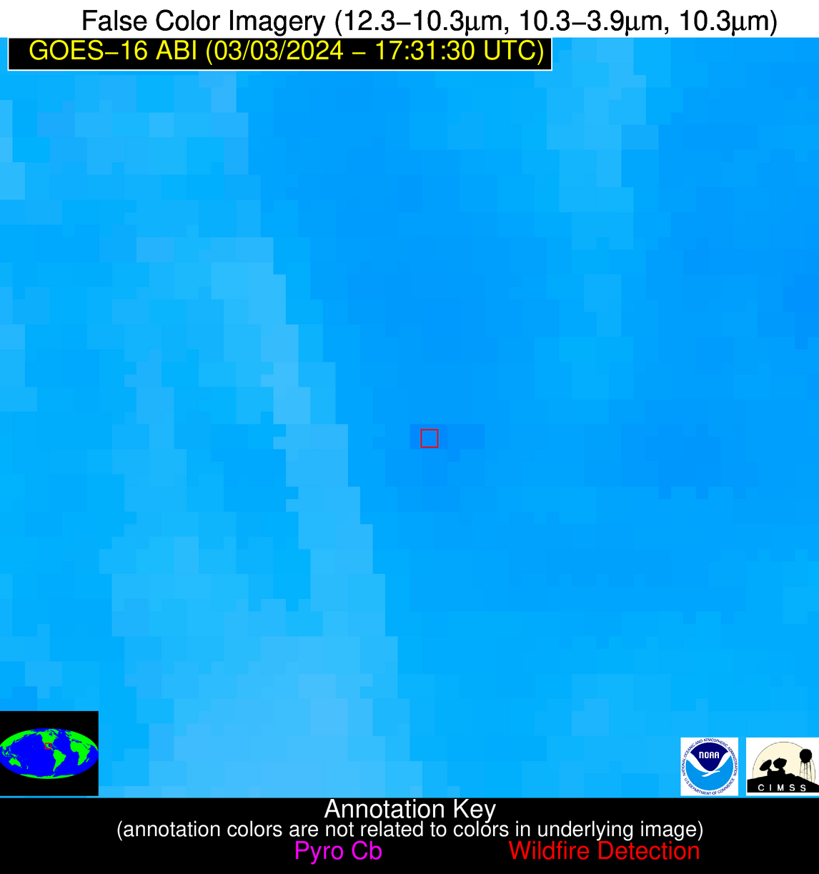
Possible Wildfire
| Basic Information | |
|---|---|
| State/Province(s) | IA |
| Country/Countries | USA |
| County/Locality(s) | Sac County, IA |
| NWS WFO | Des Moines IA |
| Identification Method | Enhanced Contextual (Cloud) |
| Mean Object Date/Time | 2024-03-03 17:31:50UTC |
| Radiative Center (Lat, Lon): | 42.500000°, -95.210000° |
| Nearby Counties (meeting alert criteria): |
|
| Total Radiative Power Anomaly | n/a |
| Total Radiative Power | 71.49 MW |
| Map: | |
| Additional Information | |
| Alert Status | New Feature |
| Type of Event | Elevated SPC Risk and Red Flag Warning |
| Event Priority Ranking | 1 |
| Maximum Observed BT (3.9 um) | 318.94 K |
| Observed - Background BT (3.9 um) | 13.32 K |
| BT Anomaly (3.9 um) | 20.68 K |
| Maximum Observed - Clear RTM BT (3.9 um) | 28.48 K |
| Maximum Observed BTD (3.9-10/11/12 um) | 25.80 K |
| Observed - Background BTD (3.9-10/11/12 um) | 12.97 K |
| BTD Anomaly (3.9-10/11/12 um) | 33.53 K |
| Similar Pixel Count | 0 |
| BT Time Tendency (3.9 um) | 13.00 K |
| Image Interval | 5.00 minutes |
| Fraction of Surrounding LWIR Pixels that are Colder | 0.69 |
| Fraction of Surrounding Red Channel Pixels that are Brighter | 1.00 |
| Maximum Radiative Power | 71.49 MW |
| Maximum Radiative Power Uncertainty | 0.00 MW |
| Total Radiative Power Uncertainty | 0.00 MW |
| Mean Viewing Angle | 53.40° |
| Mean Solar Zenith Angle | 51.30° |
| Mean Glint Angle | 104.30° |
| Water Fraction | 0.00 |
| Total Pixel Area | 8.00 km2 |
| Latest Satellite Imagery: | |
| View all event imagery » | |
Possible Wildfire
| Basic Information | |
|---|---|
| State/Province(s) | IA |
| Country/Countries | USA |
| County/Locality(s) | Appanoose County, IA |
| NWS WFO | Des Moines IA |
| Identification Method | Enhanced Contextual (Clear) |
| Mean Object Date/Time | 2024-03-03 17:31:51UTC |
| Radiative Center (Lat, Lon): | 40.680000°, -93.090000° |
| Nearby Counties (meeting alert criteria): |
|
| Total Radiative Power Anomaly | n/a |
| Total Radiative Power | 18.89 MW |
| Map: | |
| Additional Information | |
| Alert Status | New Feature |
| Type of Event | Elevated SPC Risk and Red Flag Warning |
| Event Priority Ranking | 1 |
| Maximum Observed BT (3.9 um) | 309.26 K |
| Observed - Background BT (3.9 um) | 4.67 K |
| BT Anomaly (3.9 um) | 4.88 K |
| Maximum Observed - Clear RTM BT (3.9 um) | 17.92 K |
| Maximum Observed BTD (3.9-10/11/12 um) | 15.61 K |
| Observed - Background BTD (3.9-10/11/12 um) | 4.32 K |
| BTD Anomaly (3.9-10/11/12 um) | 4.44 K |
| Similar Pixel Count | 25 |
| BT Time Tendency (3.9 um) | 1.70 K |
| Image Interval | 5.00 minutes |
| Fraction of Surrounding LWIR Pixels that are Colder | 0.73 |
| Fraction of Surrounding Red Channel Pixels that are Brighter | 0.99 |
| Maximum Radiative Power | 18.89 MW |
| Maximum Radiative Power Uncertainty | 0.00 MW |
| Total Radiative Power Uncertainty | 0.00 MW |
| Mean Viewing Angle | 50.80° |
| Mean Solar Zenith Angle | 49.10° |
| Mean Glint Angle | 99.50° |
| Water Fraction | 0.00 |
| Total Pixel Area | 7.40 km2 |
| Latest Satellite Imagery: | |
| View all event imagery » | |
Possible Wildfire
| Basic Information | |
|---|---|
| State/Province(s) | Unknown |
| Country/Countries | Cuba |
| County/Locality(s) | Cuba |
| NWS WFO | N/A |
| Identification Method | Enhanced Contextual (Clear) |
| Mean Object Date/Time | 2024-03-03 17:33:22UTC |
| Radiative Center (Lat, Lon): | 21.690000°, -78.850000° |
| Nearby Counties (meeting alert criteria): |
|
| Total Radiative Power Anomaly | n/a |
| Total Radiative Power | 17.93 MW |
| Map: | |
| Additional Information | |
| Alert Status | New Feature |
| Type of Event | Nominal Risk |
| Event Priority Ranking | 4 |
| Maximum Observed BT (3.9 um) | 318.36 K |
| Observed - Background BT (3.9 um) | 5.14 K |
| BT Anomaly (3.9 um) | 2.86 K |
| Maximum Observed - Clear RTM BT (3.9 um) | 8.87 K |
| Maximum Observed BTD (3.9-10/11/12 um) | 19.40 K |
| Observed - Background BTD (3.9-10/11/12 um) | 4.40 K |
| BTD Anomaly (3.9-10/11/12 um) | 3.90 K |
| Similar Pixel Count | 18 |
| BT Time Tendency (3.9 um) | 1.10 K |
| Image Interval | 5.00 minutes |
| Fraction of Surrounding LWIR Pixels that are Colder | 0.92 |
| Fraction of Surrounding Red Channel Pixels that are Brighter | 0.79 |
| Maximum Radiative Power | 17.93 MW |
| Maximum Radiative Power Uncertainty | 0.00 MW |
| Total Radiative Power Uncertainty | 0.00 MW |
| Mean Viewing Angle | 25.90° |
| Mean Solar Zenith Angle | 28.60° |
| Mean Glint Angle | 54.10° |
| Water Fraction | 0.00 |
| Total Pixel Area | 4.60 km2 |
| Latest Satellite Imagery: | |
| View all event imagery » | |
Possible Wildfire
| Basic Information | |
|---|---|
| State/Province(s) | Unknown |
| Country/Countries | Mexico |
| County/Locality(s) | Mexico |
| NWS WFO | N/A |
| Identification Method | Enhanced Contextual (Clear) |
| Mean Object Date/Time | 2024-03-03 17:33:19UTC |
| Radiative Center (Lat, Lon): | 21.850000°, -99.030000° |
| Nearby Counties (meeting alert criteria): |
|
| Total Radiative Power Anomaly | n/a |
| Total Radiative Power | 14.15 MW |
| Map: | |
| Additional Information | |
| Alert Status | New Feature |
| Type of Event | Nominal Risk |
| Event Priority Ranking | 4 |
| Maximum Observed BT (3.9 um) | 316.80 K |
| Observed - Background BT (3.9 um) | 4.95 K |
| BT Anomaly (3.9 um) | 1.93 K |
| Maximum Observed - Clear RTM BT (3.9 um) | 12.66 K |
| Maximum Observed BTD (3.9-10/11/12 um) | 17.06 K |
| Observed - Background BTD (3.9-10/11/12 um) | 4.57 K |
| BTD Anomaly (3.9-10/11/12 um) | 2.60 K |
| Similar Pixel Count | 25 |
| BT Time Tendency (3.9 um) | 2.10 K |
| Image Interval | 5.00 minutes |
| Fraction of Surrounding LWIR Pixels that are Colder | 0.75 |
| Fraction of Surrounding Red Channel Pixels that are Brighter | 0.86 |
| Maximum Radiative Power | 14.15 MW |
| Maximum Radiative Power Uncertainty | 0.00 MW |
| Total Radiative Power Uncertainty | 0.00 MW |
| Mean Viewing Angle | 37.30° |
| Mean Solar Zenith Angle | 34.30° |
| Mean Glint Angle | 70.90° |
| Water Fraction | 0.00 |
| Total Pixel Area | 5.50 km2 |
| Latest Satellite Imagery: | |
| View all event imagery » | |
