Wildfire Alert Report
| Date: | 2024-03-02 |
|---|---|
| Time: | 22:16:17 |
| Production Date and Time: | 2024-03-02 22:23:49 UTC |
| Primary Instrument: | GOES-16 ABI |
| Wmo Spacecraft Id: | 152 |
| Location/orbit: | GEO |
| L1 File: | OR_ABI-L1b-RadC-M6C14_G16_s20240622216175_e20240622218548_c20240622219048.nc |
| L1 File(s) - Temporal | OR_ABI-L1b-RadC-M6C14_G16_s20240622211175_e20240622213548_c20240622214037.nc |
| Number Of Thermal Anomaly Alerts: | 4 |
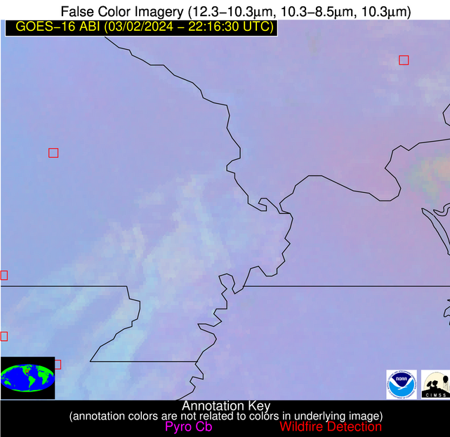
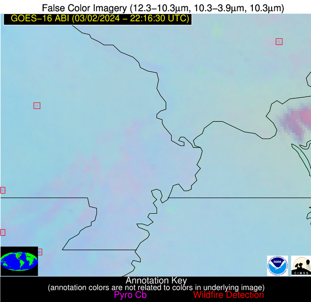
Possible Wildfire
| Basic Information | |
|---|---|
| State/Province(s) | IL |
| Country/Countries | USA |
| County/Locality(s) | Hamilton County, IL |
| NWS WFO | Paducah KY |
| Identification Method | Enhanced Contextual (Clear) |
| Mean Object Date/Time | 2024-03-02 22:16:51UTC |
| Radiative Center (Lat, Lon): | 38.000000°, -88.400000° |
| Nearby Counties (meeting alert criteria): |
|
| Total Radiative Power Anomaly | n/a |
| Total Radiative Power | 8.47 MW |
| Map: | |
| Additional Information | |
| Alert Status | New Feature |
| Type of Event | Nominal Risk |
| Event Priority Ranking | 4 |
| Maximum Observed BT (3.9 um) | 290.86 K |
| Observed - Background BT (3.9 um) | 3.88 K |
| BT Anomaly (3.9 um) | 8.89 K |
| Maximum Observed - Clear RTM BT (3.9 um) | 8.58 K |
| Maximum Observed BTD (3.9-10/11/12 um) | 6.70 K |
| Observed - Background BTD (3.9-10/11/12 um) | 3.91 K |
| BTD Anomaly (3.9-10/11/12 um) | 10.63 K |
| Similar Pixel Count | 1 |
| BT Time Tendency (3.9 um) | 3.20 K |
| Image Interval | 5.00 minutes |
| Fraction of Surrounding LWIR Pixels that are Colder | 0.41 |
| Fraction of Surrounding Red Channel Pixels that are Brighter | 1.00 |
| Maximum Radiative Power | 8.47 MW |
| Maximum Radiative Power Uncertainty | 0.00 MW |
| Total Radiative Power Uncertainty | 0.00 MW |
| Mean Viewing Angle | 46.40° |
| Mean Solar Zenith Angle | 73.60° |
| Mean Glint Angle | 80.60° |
| Water Fraction | 0.00 |
| Total Pixel Area | 6.50 km2 |
| Latest Satellite Imagery: | |
| View all event imagery » | |
Possible Wildfire
| Basic Information | |
|---|---|
| State/Province(s) | MO |
| Country/Countries | USA |
| County/Locality(s) | Iron County, MO |
| NWS WFO | St Louis MO |
| Identification Method | Enhanced Contextual (Clear) |
| Mean Object Date/Time | 2024-03-02 22:16:51UTC |
| Radiative Center (Lat, Lon): | 37.380000°, -90.610000° |
| Nearby Counties (meeting alert criteria): |
|
| Total Radiative Power Anomaly | n/a |
| Total Radiative Power | 7.26 MW |
| Map: | |
| Additional Information | |
| Alert Status | New Feature |
| Type of Event | Nominal Risk |
| Event Priority Ranking | 4 |
| Maximum Observed BT (3.9 um) | 291.95 K |
| Observed - Background BT (3.9 um) | 3.40 K |
| BT Anomaly (3.9 um) | 6.73 K |
| Maximum Observed - Clear RTM BT (3.9 um) | 9.29 K |
| Maximum Observed BTD (3.9-10/11/12 um) | 5.91 K |
| Observed - Background BTD (3.9-10/11/12 um) | 3.38 K |
| BTD Anomaly (3.9-10/11/12 um) | 16.16 K |
| Similar Pixel Count | 1 |
| BT Time Tendency (3.9 um) | 1.10 K |
| Image Interval | 5.00 minutes |
| Fraction of Surrounding LWIR Pixels that are Colder | 0.61 |
| Fraction of Surrounding Red Channel Pixels that are Brighter | 1.00 |
| Maximum Radiative Power | 7.26 MW |
| Maximum Radiative Power Uncertainty | 0.00 MW |
| Total Radiative Power Uncertainty | 0.00 MW |
| Mean Viewing Angle | 46.50° |
| Mean Solar Zenith Angle | 71.80° |
| Mean Glint Angle | 77.80° |
| Water Fraction | 0.00 |
| Total Pixel Area | 6.60 km2 |
| Latest Satellite Imagery: | |
| View all event imagery » | |
Possible Wildfire
| Basic Information | |
|---|---|
| State/Province(s) | AR |
| Country/Countries | USA |
| County/Locality(s) | Greene County, AR |
| NWS WFO | Memphis TN |
| Identification Method | Enhanced Contextual (Clear) |
| Mean Object Date/Time | 2024-03-02 22:17:21UTC |
| Radiative Center (Lat, Lon): | 35.980000°, -90.600000° |
| Nearby Counties (meeting alert criteria): |
|
| Total Radiative Power Anomaly | n/a |
| Total Radiative Power | 24.04 MW |
| Map: | |
| Additional Information | |
| Alert Status | New Feature |
| Type of Event | Nominal Risk |
| Event Priority Ranking | 4 |
| Maximum Observed BT (3.9 um) | 299.23 K |
| Observed - Background BT (3.9 um) | 8.65 K |
| BT Anomaly (3.9 um) | 8.90 K |
| Maximum Observed - Clear RTM BT (3.9 um) | 15.06 K |
| Maximum Observed BTD (3.9-10/11/12 um) | 12.86 K |
| Observed - Background BTD (3.9-10/11/12 um) | 9.04 K |
| BTD Anomaly (3.9-10/11/12 um) | 14.50 K |
| Similar Pixel Count | 1 |
| BT Time Tendency (3.9 um) | 6.70 K |
| Image Interval | 5.00 minutes |
| Fraction of Surrounding LWIR Pixels that are Colder | 0.19 |
| Fraction of Surrounding Red Channel Pixels that are Brighter | 1.00 |
| Maximum Radiative Power | 24.04 MW |
| Maximum Radiative Power Uncertainty | 0.00 MW |
| Total Radiative Power Uncertainty | 0.00 MW |
| Mean Viewing Angle | 45.10° |
| Mean Solar Zenith Angle | 71.20° |
| Mean Glint Angle | 76.30° |
| Water Fraction | 0.00 |
| Total Pixel Area | 6.40 km2 |
| Latest Satellite Imagery: | |
| View all event imagery » | |
Possible Wildfire
| Basic Information | |
|---|---|
| State/Province(s) | Unknown |
| Country/Countries | Dominican Republic |
| County/Locality(s) | Dominican Republic |
| NWS WFO | N/A |
| Identification Method | Enhanced Contextual (Clear) |
| Mean Object Date/Time | 2024-03-02 22:18:53UTC |
| Radiative Center (Lat, Lon): | 18.910000°, -69.920000° |
| Nearby Counties (meeting alert criteria): |
|
| Total Radiative Power Anomaly | n/a |
| Total Radiative Power | 10.62 MW |
| Map: | |
| Additional Information | |
| Alert Status | New Feature |
| Type of Event | Nominal Risk |
| Event Priority Ranking | 4 |
| Maximum Observed BT (3.9 um) | 299.96 K |
| Observed - Background BT (3.9 um) | 4.60 K |
| BT Anomaly (3.9 um) | 6.35 K |
| Maximum Observed - Clear RTM BT (3.9 um) | 7.39 K |
| Maximum Observed BTD (3.9-10/11/12 um) | 8.08 K |
| Observed - Background BTD (3.9-10/11/12 um) | 4.91 K |
| BTD Anomaly (3.9-10/11/12 um) | 9.01 K |
| Similar Pixel Count | 1 |
| BT Time Tendency (3.9 um) | 2.60 K |
| Image Interval | 5.00 minutes |
| Fraction of Surrounding LWIR Pixels that are Colder | 0.14 |
| Fraction of Surrounding Red Channel Pixels that are Brighter | 1.00 |
| Maximum Radiative Power | 10.62 MW |
| Maximum Radiative Power Uncertainty | 0.00 MW |
| Total Radiative Power Uncertainty | 0.00 MW |
| Mean Viewing Angle | 23.10° |
| Mean Solar Zenith Angle | 84.00° |
| Mean Glint Angle | 94.20° |
| Water Fraction | 0.00 |
| Total Pixel Area | 4.50 km2 |
| Latest Satellite Imagery: | |
| View all event imagery » | |


