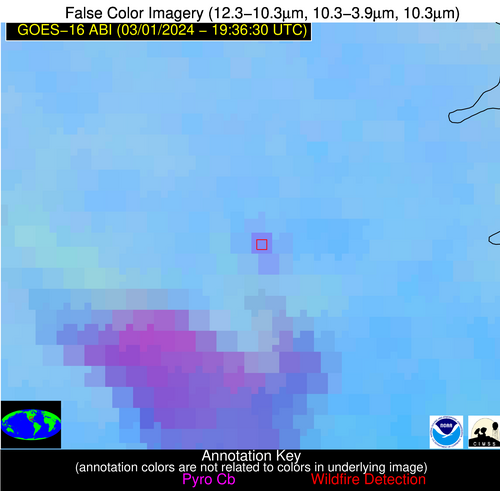
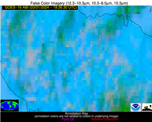
Wildfire Alert Report
| Date: | 2024-03-01 |
|---|---|
| Time: | 19:36:17 |
| Production Date and Time: | 2024-03-01 19:41:04 UTC |
| Primary Instrument: | GOES-16 ABI |
| Wmo Spacecraft Id: | 152 |
| Location/orbit: | GEO |
| L1 File: | OR_ABI-L1b-RadC-M6C14_G16_s20240611936175_e20240611938548_c20240611939034.nc |
| L1 File(s) - Temporal | OR_ABI-L1b-RadC-M6C14_G16_s20240611931175_e20240611933548_c20240611934042.nc |
| Number Of Thermal Anomaly Alerts: | 6 |
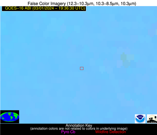
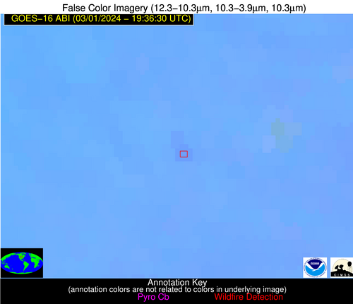
Possible Wildfire
| Basic Information | |
|---|---|
| State/Province(s) | NE |
| Country/Countries | USA |
| County/Locality(s) | Sherman County, NE |
| NWS WFO | Hastings NE |
| Identification Method | Enhanced Contextual (Clear) |
| Mean Object Date/Time | 2024-03-01 19:36:50UTC |
| Radiative Center (Lat, Lon): | 41.280000°, -99.080000° |
| Nearby Counties (meeting alert criteria): |
|
| Total Radiative Power Anomaly | n/a |
| Total Radiative Power | 8.08 MW |
| Map: | |
| Additional Information | |
| Alert Status | New Feature |
| Type of Event | Nominal Risk |
| Event Priority Ranking | 4 |
| Maximum Observed BT (3.9 um) | 303.01 K |
| Observed - Background BT (3.9 um) | 2.11 K |
| BT Anomaly (3.9 um) | 2.21 K |
| Maximum Observed - Clear RTM BT (3.9 um) | 15.38 K |
| Maximum Observed BTD (3.9-10/11/12 um) | 10.31 K |
| Observed - Background BTD (3.9-10/11/12 um) | 2.09 K |
| BTD Anomaly (3.9-10/11/12 um) | 5.61 K |
| Similar Pixel Count | 25 |
| BT Time Tendency (3.9 um) | 1.70 K |
| Image Interval | 5.00 minutes |
| Fraction of Surrounding LWIR Pixels that are Colder | 0.51 |
| Fraction of Surrounding Red Channel Pixels that are Brighter | 1.00 |
| Maximum Radiative Power | 8.08 MW |
| Maximum Radiative Power Uncertainty | 0.00 MW |
| Total Radiative Power Uncertainty | 0.00 MW |
| Mean Viewing Angle | 53.90° |
| Mean Solar Zenith Angle | 50.10° |
| Mean Glint Angle | 91.50° |
| Water Fraction | 0.00 |
| Total Pixel Area | 8.30 km2 |
| Latest Satellite Imagery: | |
| View all event imagery » | |
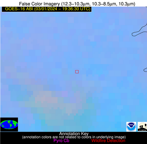
Possible Wildfire
| Basic Information | |
|---|---|
| State/Province(s) | OK |
| Country/Countries | USA |
| County/Locality(s) | Payne County, OK |
| NWS WFO | Norman OK |
| Identification Method | Enhanced Contextual (Clear) |
| Mean Object Date/Time | 2024-03-01 19:37:20UTC |
| Radiative Center (Lat, Lon): | 36.010000°, -97.350000° |
| Nearby Counties (meeting alert criteria): |
|
| Total Radiative Power Anomaly | n/a |
| Total Radiative Power | 52.74 MW |
| Map: | |
| Additional Information | |
| Alert Status | New Feature |
| Type of Event | Nominal Risk |
| Event Priority Ranking | 4 |
| Maximum Observed BT (3.9 um) | 302.55 K |
| Observed - Background BT (3.9 um) | 7.72 K |
| BT Anomaly (3.9 um) | 10.30 K |
| Maximum Observed - Clear RTM BT (3.9 um) | 16.40 K |
| Maximum Observed BTD (3.9-10/11/12 um) | 14.69 K |
| Observed - Background BTD (3.9-10/11/12 um) | 6.64 K |
| BTD Anomaly (3.9-10/11/12 um) | 9.97 K |
| Similar Pixel Count | 4 |
| BT Time Tendency (3.9 um) | 6.00 K |
| Image Interval | 5.00 minutes |
| Fraction of Surrounding LWIR Pixels that are Colder | 0.95 |
| Fraction of Surrounding Red Channel Pixels that are Brighter | 1.00 |
| Maximum Radiative Power | 32.37 MW |
| Maximum Radiative Power Uncertainty | 0.00 MW |
| Total Radiative Power Uncertainty | 0.00 MW |
| Mean Viewing Angle | 48.20° |
| Mean Solar Zenith Angle | 45.50° |
| Mean Glint Angle | 81.10° |
| Water Fraction | 0.00 |
| Total Pixel Area | 21.00 km2 |
| Latest Satellite Imagery: | |
| View all event imagery » | |
Possible Wildfire
| Basic Information | |
|---|---|
| State/Province(s) | OK |
| Country/Countries | USA |
| County/Locality(s) | Okmulgee County, OK |
| NWS WFO | Tulsa OK |
| Identification Method | Enhanced Contextual (Clear) |
| Mean Object Date/Time | 2024-03-01 19:37:20UTC |
| Radiative Center (Lat, Lon): | 35.750000°, -95.850000° |
| Nearby Counties (meeting alert criteria): |
|
| Total Radiative Power Anomaly | n/a |
| Total Radiative Power | 5.72 MW |
| Map: | |
| Additional Information | |
| Alert Status | New Feature |
| Type of Event | Nominal Risk |
| Event Priority Ranking | 4 |
| Maximum Observed BT (3.9 um) | 298.88 K |
| Observed - Background BT (3.9 um) | 2.41 K |
| BT Anomaly (3.9 um) | 3.71 K |
| Maximum Observed - Clear RTM BT (3.9 um) | 13.68 K |
| Maximum Observed BTD (3.9-10/11/12 um) | 10.14 K |
| Observed - Background BTD (3.9-10/11/12 um) | 2.11 K |
| BTD Anomaly (3.9-10/11/12 um) | 5.84 K |
| Similar Pixel Count | 25 |
| BT Time Tendency (3.9 um) | 1.20 K |
| Image Interval | 5.00 minutes |
| Fraction of Surrounding LWIR Pixels that are Colder | 0.80 |
| Fraction of Surrounding Red Channel Pixels that are Brighter | 1.00 |
| Maximum Radiative Power | 5.72 MW |
| Maximum Radiative Power Uncertainty | 0.00 MW |
| Total Radiative Power Uncertainty | 0.00 MW |
| Mean Viewing Angle | 47.20° |
| Mean Solar Zenith Angle | 45.70° |
| Mean Glint Angle | 80.40° |
| Water Fraction | 0.00 |
| Total Pixel Area | 6.80 km2 |
| Latest Satellite Imagery: | |
| View all event imagery » | |
Possible Wildfire
| Basic Information | |
|---|---|
| State/Province(s) | TX |
| Country/Countries | USA |
| County/Locality(s) | San Augustine County, TX |
| NWS WFO | Shreveport LA |
| Identification Method | Enhanced Contextual (Clear) |
| Mean Object Date/Time | 2024-03-01 19:37:20UTC |
| Radiative Center (Lat, Lon): | 31.230000°, -94.070000° |
| Nearby Counties (meeting alert criteria): |
|
| Total Radiative Power Anomaly | n/a |
| Total Radiative Power | 21.57 MW |
| Map: | |
| Additional Information | |
| Alert Status | New Feature |
| Type of Event | Nominal Risk |
| Event Priority Ranking | 4 |
| Maximum Observed BT (3.9 um) | 302.55 K |
| Observed - Background BT (3.9 um) | 7.37 K |
| BT Anomaly (3.9 um) | 5.04 K |
| Maximum Observed - Clear RTM BT (3.9 um) | 10.81 K |
| Maximum Observed BTD (3.9-10/11/12 um) | 12.86 K |
| Observed - Background BTD (3.9-10/11/12 um) | 7.66 K |
| BTD Anomaly (3.9-10/11/12 um) | 8.33 K |
| Similar Pixel Count | 2 |
| BT Time Tendency (3.9 um) | 1.60 K |
| Image Interval | 5.00 minutes |
| Fraction of Surrounding LWIR Pixels that are Colder | 0.41 |
| Fraction of Surrounding Red Channel Pixels that are Brighter | 0.21 |
| Maximum Radiative Power | 21.57 MW |
| Maximum Radiative Power Uncertainty | 0.00 MW |
| Total Radiative Power Uncertainty | 0.00 MW |
| Mean Viewing Angle | 42.00° |
| Mean Solar Zenith Angle | 42.10° |
| Mean Glint Angle | 71.30° |
| Water Fraction | 0.00 |
| Total Pixel Area | 6.00 km2 |
| Latest Satellite Imagery: | |
| View all event imagery » | |
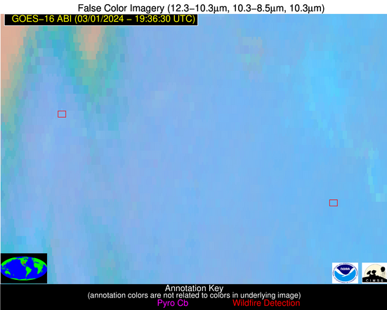
Possible Wildfire
| Basic Information | |
|---|---|
| State/Province(s) | Unknown |
| Country/Countries | Cuba |
| County/Locality(s) | Cuba |
| NWS WFO | N/A |
| Identification Method | Enhanced Contextual (Cloud) |
| Mean Object Date/Time | 2024-03-01 19:38:22UTC |
| Radiative Center (Lat, Lon): | 22.190000°, -80.110000° |
| Nearby Counties (meeting alert criteria): |
|
| Total Radiative Power Anomaly | n/a |
| Total Radiative Power | 26.27 MW |
| Map: | |
| Additional Information | |
| Alert Status | New Feature |
| Type of Event | Nominal Risk |
| Event Priority Ranking | 4 |
| Maximum Observed BT (3.9 um) | 311.42 K |
| Observed - Background BT (3.9 um) | 8.39 K |
| BT Anomaly (3.9 um) | 5.04 K |
| Maximum Observed - Clear RTM BT (3.9 um) | 12.89 K |
| Maximum Observed BTD (3.9-10/11/12 um) | 24.35 K |
| Observed - Background BTD (3.9-10/11/12 um) | 8.32 K |
| BTD Anomaly (3.9-10/11/12 um) | 4.28 K |
| Similar Pixel Count | 0 |
| BT Time Tendency (3.9 um) | 1.10 K |
| Image Interval | 5.00 minutes |
| Fraction of Surrounding LWIR Pixels that are Colder | 0.92 |
| Fraction of Surrounding Red Channel Pixels that are Brighter | 0.88 |
| Maximum Radiative Power | 26.27 MW |
| Maximum Radiative Power Uncertainty | 0.00 MW |
| Total Radiative Power Uncertainty | 0.00 MW |
| Mean Viewing Angle | 26.70° |
| Mean Solar Zenith Angle | 42.50° |
| Mean Glint Angle | 59.00° |
| Water Fraction | 0.00 |
| Total Pixel Area | 4.70 km2 |
| Latest Satellite Imagery: | |
| View all event imagery » | |
Possible Wildfire
| Basic Information | |
|---|---|
| State/Province(s) | Unknown |
| Country/Countries | Cuba |
| County/Locality(s) | Cuba |
| NWS WFO | N/A |
| Identification Method | Enhanced Contextual (Cloud) |
| Mean Object Date/Time | 2024-03-01 19:38:22UTC |
| Radiative Center (Lat, Lon): | 21.980000°, -78.660000° |
| Nearby Counties (meeting alert criteria): |
|
| Total Radiative Power Anomaly | n/a |
| Total Radiative Power | 94.47 MW |
| Map: | |
| Additional Information | |
| Alert Status | New Feature |
| Type of Event | Nominal Risk |
| Event Priority Ranking | 4 |
| Maximum Observed BT (3.9 um) | 313.55 K |
| Observed - Background BT (3.9 um) | 14.37 K |
| BT Anomaly (3.9 um) | 6.47 K |
| Maximum Observed - Clear RTM BT (3.9 um) | 15.87 K |
| Maximum Observed BTD (3.9-10/11/12 um) | 35.78 K |
| Observed - Background BTD (3.9-10/11/12 um) | 14.30 K |
| BTD Anomaly (3.9-10/11/12 um) | 8.49 K |
| Similar Pixel Count | 0 |
| BT Time Tendency (3.9 um) | 9.30 K |
| Image Interval | 5.00 minutes |
| Fraction of Surrounding LWIR Pixels that are Colder | 0.18 |
| Fraction of Surrounding Red Channel Pixels that are Brighter | 0.65 |
| Maximum Radiative Power | 94.47 MW |
| Maximum Radiative Power Uncertainty | 0.00 MW |
| Total Radiative Power Uncertainty | 0.00 MW |
| Mean Viewing Angle | 26.10° |
| Mean Solar Zenith Angle | 43.40° |
| Mean Glint Angle | 60.00° |
| Water Fraction | 0.00 |
| Total Pixel Area | 9.30 km2 |
| Latest Satellite Imagery: | |
| View all event imagery » | |
