Wildfire Alert Report
| Date: | 2024-02-29 |
|---|---|
| Time: | 18:48:55 |
| Production Date and Time: | 2024-02-29 18:49:39 UTC |
| Primary Instrument: | GOES-16 ABI |
| Wmo Spacecraft Id: | 152 |
| Location/orbit: | GEO |
| L1 File: | OR_ABI-L1b-RadM2-M6C14_G16_s20240601848553_e20240601849011_c20240601849052.nc |
| L1 File(s) - Temporal | OR_ABI-L1b-RadM2-M6C14_G16_s20240601847553_e20240601848011_c20240601848061.nc |
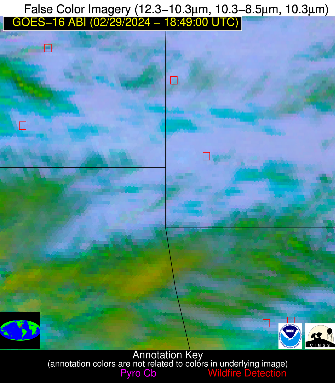
| Number Of Thermal Anomaly Alerts: | 4 |
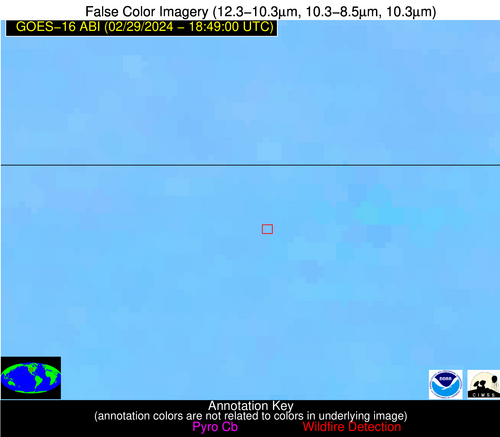
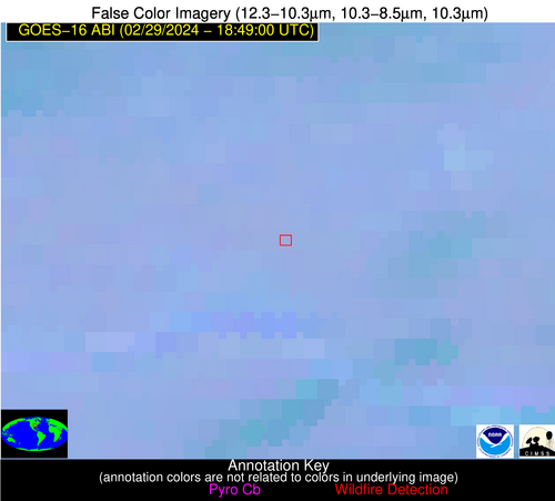
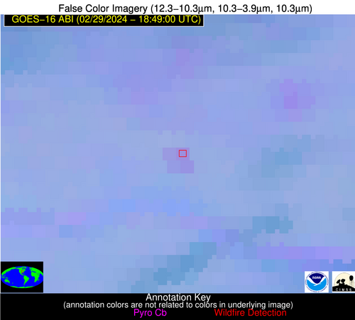
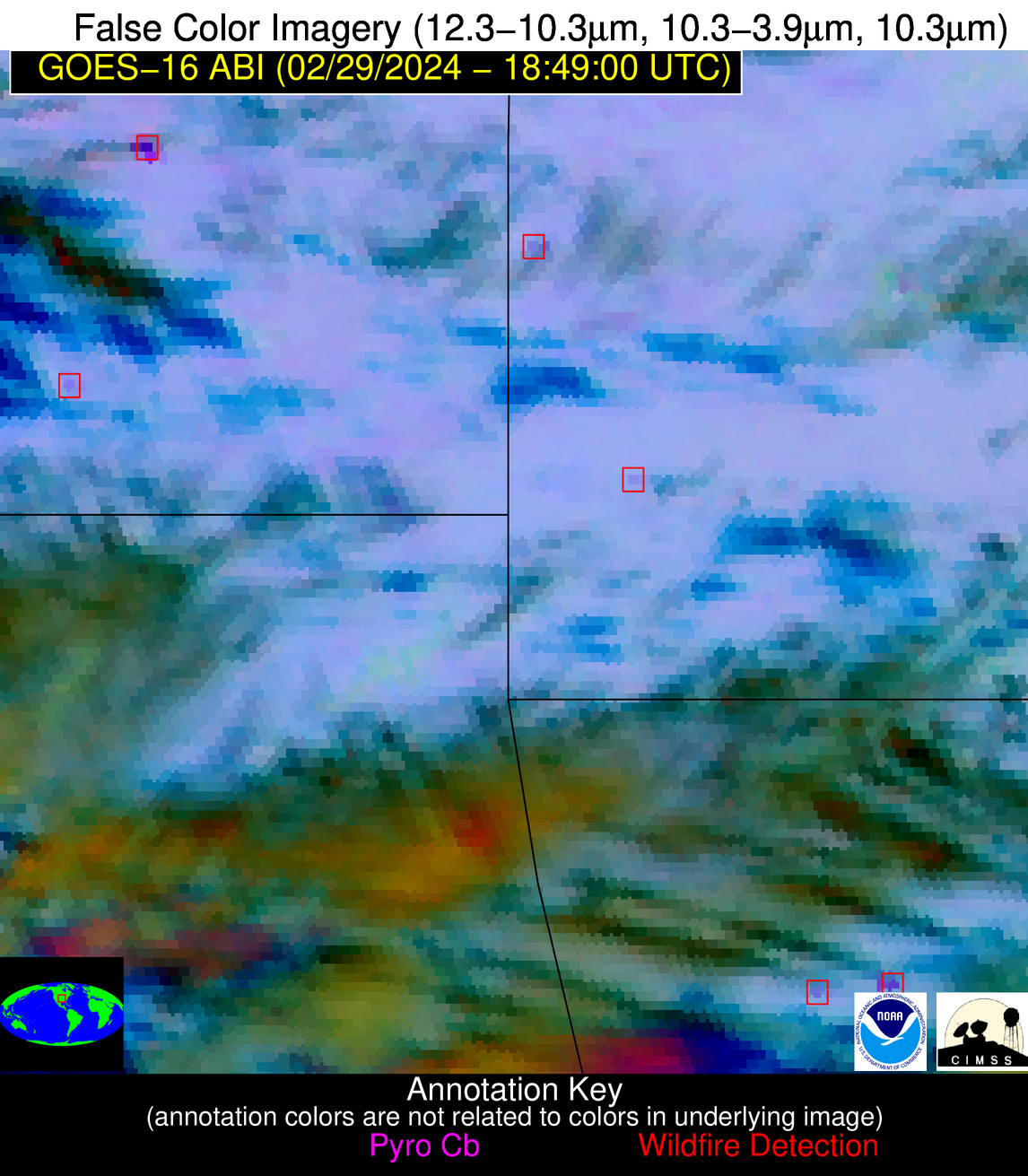
Possible Wildfire
| Basic Information | |
|---|---|
| State/Province(s) | CO |
| Country/Countries | USA |
| County/Locality(s) | Logan County, CO |
| NWS WFO | Denver CO |
| Identification Method | Enhanced Contextual (Clear) |
| Mean Object Date/Time | 2024-02-29 18:48:56UTC |
| Radiative Center (Lat, Lon): | 40.910000°, -102.800000° |
| Nearby Counties (meeting alert criteria): |
|
| Total Radiative Power Anomaly | n/a |
| Total Radiative Power | 55.32 MW |
| Map: | |
| Additional Information | |
| Alert Status | New Feature |
| Type of Event | Nominal Risk |
| Event Priority Ranking | 4 |
| Maximum Observed BT (3.9 um) | 311.42 K |
| Observed - Background BT (3.9 um) | 8.78 K |
| BT Anomaly (3.9 um) | 9.46 K |
| Maximum Observed - Clear RTM BT (3.9 um) | 26.10 K |
| Maximum Observed BTD (3.9-10/11/12 um) | 16.30 K |
| Observed - Background BTD (3.9-10/11/12 um) | 7.56 K |
| BTD Anomaly (3.9-10/11/12 um) | 12.08 K |
| Similar Pixel Count | 2 |
| BT Time Tendency (3.9 um) | 3.50 K |
| Image Interval | 1.00 minutes |
| Fraction of Surrounding LWIR Pixels that are Colder | 0.99 |
| Fraction of Surrounding Red Channel Pixels that are Brighter | 0.97 |
| Maximum Radiative Power | 55.32 MW |
| Maximum Radiative Power Uncertainty | 0.00 MW |
| Total Radiative Power Uncertainty | 0.00 MW |
| Mean Viewing Angle | 55.40° |
| Mean Solar Zenith Angle | 49.10° |
| Mean Glint Angle | 98.30° |
| Water Fraction | 0.00 |
| Total Pixel Area | 17.80 km2 |
| Latest Satellite Imagery: | |
| View all event imagery » | |
Possible Wildfire
| Basic Information | |
|---|---|
| State/Province(s) | MO |
| Country/Countries | USA |
| County/Locality(s) | Warren County, MO |
| NWS WFO | St Louis MO |
| Identification Method | Enhanced Contextual (Clear) |
| Mean Object Date/Time | 2024-02-29 18:49:01UTC |
| Radiative Center (Lat, Lon): | 38.830000°, -91.370000° |
| Nearby Counties (meeting alert criteria): |
|
| Total Radiative Power Anomaly | n/a |
| Total Radiative Power | 15.43 MW |
| Map: | |
| Additional Information | |
| Alert Status | New Feature |
| Type of Event | Nominal Risk |
| Event Priority Ranking | 4 |
| Maximum Observed BT (3.9 um) | 297.30 K |
| Observed - Background BT (3.9 um) | 2.09 K |
| BT Anomaly (3.9 um) | 1.70 K |
| Maximum Observed - Clear RTM BT (3.9 um) | 16.40 K |
| Maximum Observed BTD (3.9-10/11/12 um) | 11.39 K |
| Observed - Background BTD (3.9-10/11/12 um) | 2.79 K |
| BTD Anomaly (3.9-10/11/12 um) | 2.96 K |
| Similar Pixel Count | 14 |
| BT Time Tendency (3.9 um) | 1.80 K |
| Image Interval | 1.00 minutes |
| Fraction of Surrounding LWIR Pixels that are Colder | 0.19 |
| Fraction of Surrounding Red Channel Pixels that are Brighter | 1.00 |
| Maximum Radiative Power | 8.77 MW |
| Maximum Radiative Power Uncertainty | 0.00 MW |
| Total Radiative Power Uncertainty | 0.00 MW |
| Mean Viewing Angle | 48.20° |
| Mean Solar Zenith Angle | 47.40° |
| Mean Glint Angle | 89.80° |
| Water Fraction | 0.00 |
| Total Pixel Area | 13.70 km2 |
| Latest Satellite Imagery: | |
| View all event imagery » | |
Possible Wildfire
| Basic Information | |
|---|---|
| State/Province(s) | KS |
| Country/Countries | USA |
| County/Locality(s) | Allen County, KS |
| NWS WFO | Wichita KS |
| Identification Method | Enhanced Contextual (Cloud) |
| Mean Object Date/Time | 2024-02-29 18:49:00UTC |
| Radiative Center (Lat, Lon): | 37.990000°, -95.430000° |
| Nearby Counties (meeting alert criteria): |
|
| Total Radiative Power Anomaly | n/a |
| Total Radiative Power | 179.25 MW |
| Map: | |
| Additional Information | |
| Alert Status | New Feature |
| Type of Event | Nominal Risk |
| Event Priority Ranking | 4 |
| Maximum Observed BT (3.9 um) | 317.24 K |
| Observed - Background BT (3.9 um) | 25.56 K |
| BT Anomaly (3.9 um) | 12.92 K |
| Maximum Observed - Clear RTM BT (3.9 um) | 34.51 K |
| Maximum Observed BTD (3.9-10/11/12 um) | 42.17 K |
| Observed - Background BTD (3.9-10/11/12 um) | 26.14 K |
| BTD Anomaly (3.9-10/11/12 um) | 13.64 K |
| Similar Pixel Count | 0 |
| BT Time Tendency (3.9 um) | 19.00 K |
| Image Interval | 1.00 minutes |
| Fraction of Surrounding LWIR Pixels that are Colder | 0.03 |
| Fraction of Surrounding Red Channel Pixels that are Brighter | 0.08 |
| Maximum Radiative Power | 115.56 MW |
| Maximum Radiative Power Uncertainty | 0.00 MW |
| Total Radiative Power Uncertainty | 0.00 MW |
| Mean Viewing Angle | 49.10° |
| Mean Solar Zenith Angle | 46.10° |
| Mean Glint Angle | 89.20° |
| Water Fraction | 0.00 |
| Total Pixel Area | 14.20 km2 |
| Latest Satellite Imagery: | |
| View all event imagery » | |
Possible Wildfire
| Basic Information | |
|---|---|
| State/Province(s) | AR |
| Country/Countries | USA |
| County/Locality(s) | Franklin County, AR |
| NWS WFO | Tulsa OK |
| Identification Method | Enhanced Contextual (Clear) |
| Mean Object Date/Time | 2024-02-29 18:49:00UTC |
| Radiative Center (Lat, Lon): | 35.730000°, -93.750000° |
| Nearby Counties (meeting alert criteria): |
|
| Total Radiative Power Anomaly | n/a |
| Total Radiative Power | 76.35 MW |
| Map: | |
| Additional Information | |
| Alert Status | New Feature |
| Type of Event | Nominal Risk, Known Incident: RX MOUNTAIN CREEK (LOW, tdiff=2.74453 days, POINT) |
| Event Priority Ranking | 4 |
| Maximum Observed BT (3.9 um) | 305.64 K |
| Observed - Background BT (3.9 um) | 14.17 K |
| BT Anomaly (3.9 um) | 7.08 K |
| Maximum Observed - Clear RTM BT (3.9 um) | 27.25 K |
| Maximum Observed BTD (3.9-10/11/12 um) | 24.88 K |
| Observed - Background BTD (3.9-10/11/12 um) | 14.12 K |
| BTD Anomaly (3.9-10/11/12 um) | 8.52 K |
| Similar Pixel Count | 5 |
| BT Time Tendency (3.9 um) | 2.50 K |
| Image Interval | 1.00 minutes |
| Fraction of Surrounding LWIR Pixels that are Colder | 0.87 |
| Fraction of Surrounding Red Channel Pixels that are Brighter | 0.97 |
| Maximum Radiative Power | 39.79 MW |
| Maximum Radiative Power Uncertainty | 0.00 MW |
| Total Radiative Power Uncertainty | 0.00 MW |
| Mean Viewing Angle | 46.10° |
| Mean Solar Zenith Angle | 44.00° |
| Mean Glint Angle | 84.20° |
| Water Fraction | 0.00 |
| Total Pixel Area | 13.20 km2 |
| Latest Satellite Imagery: | |
| View all event imagery » | |
