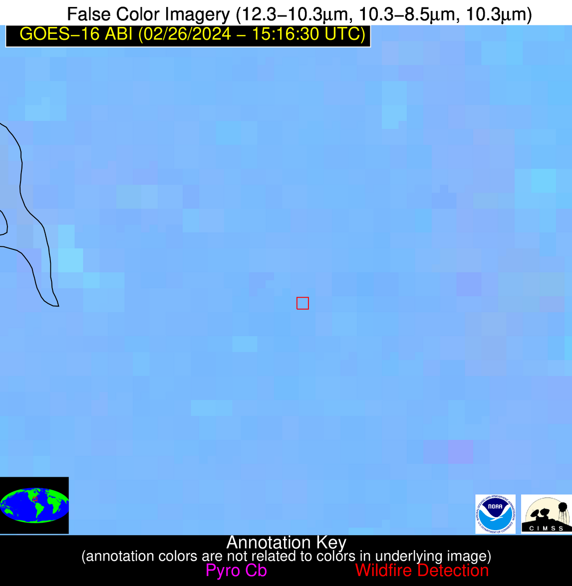
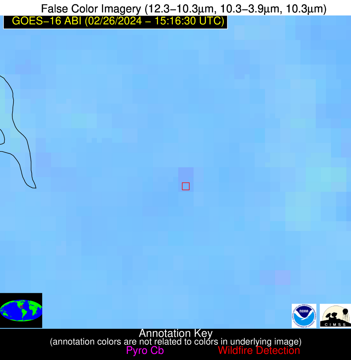
Wildfire Alert Report
| Date: | 2024-02-26 |
|---|---|
| Time: | 15:16:17 |
| Production Date and Time: | 2024-02-26 15:21:06 UTC |
| Primary Instrument: | GOES-16 ABI |
| Wmo Spacecraft Id: | 152 |
| Location/orbit: | GEO |
| L1 File: | OR_ABI-L1b-RadC-M6C14_G16_s20240571516173_e20240571518546_c20240571519031.nc |
| L1 File(s) - Temporal | OR_ABI-L1b-RadC-M6C14_G16_s20240571511173_e20240571513546_c20240571514009.nc |
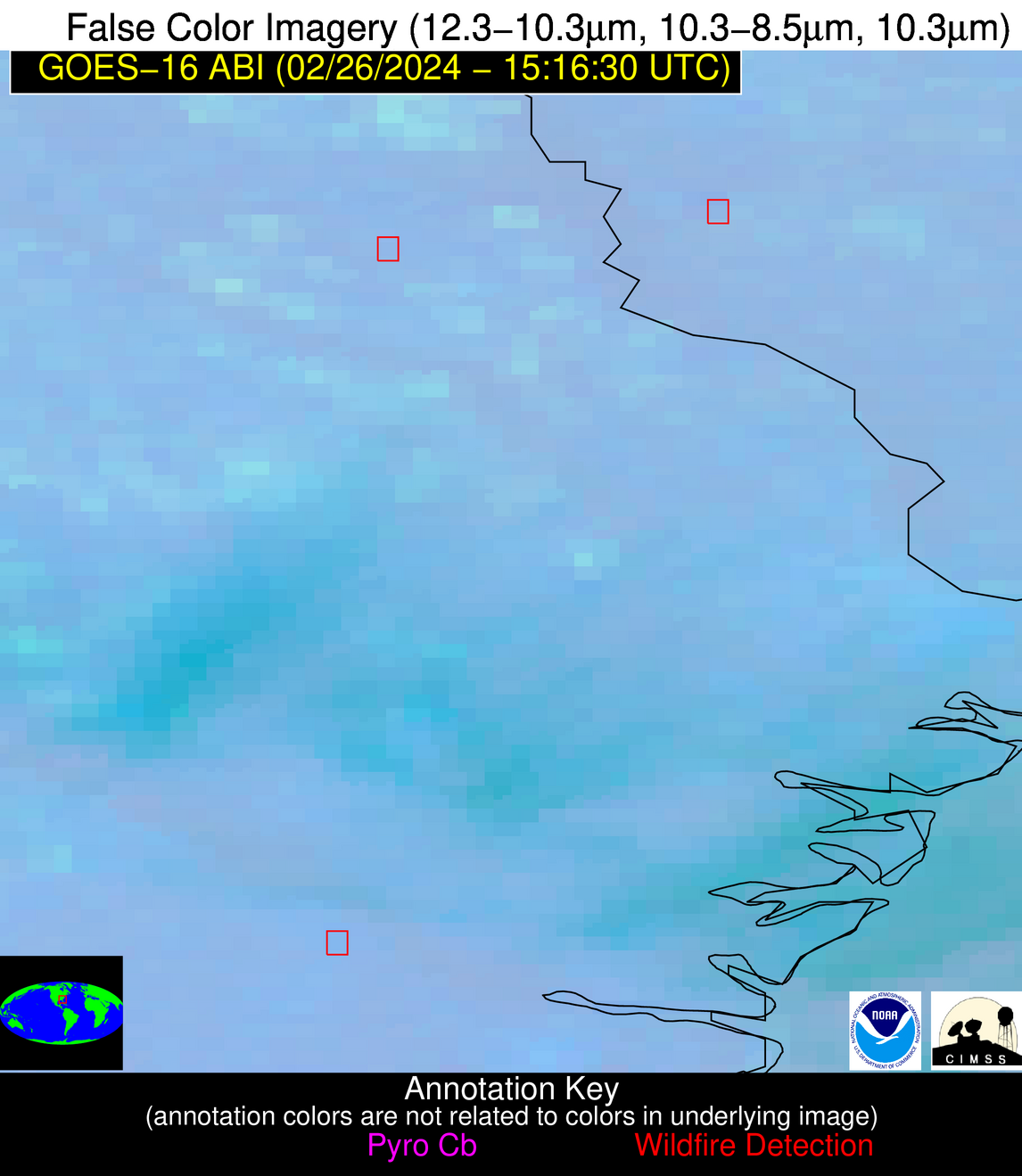
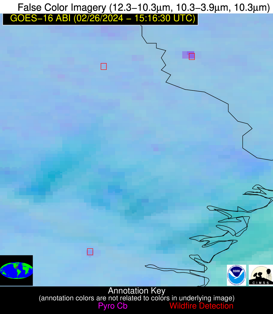
| Number Of Thermal Anomaly Alerts: | 4 |
Possible Wildfire
| Basic Information | |
|---|---|
| State/Province(s) | SC |
| Country/Countries | USA |
| County/Locality(s) | Allendale County, SC |
| NWS WFO | Charleston SC |
| Identification Method | Enhanced Contextual (Clear) |
| Mean Object Date/Time | 2024-02-26 15:17:22UTC |
| Radiative Center (Lat, Lon): | 32.790000°, -81.330000° |
| Nearby Counties (meeting alert criteria): |
|
| Total Radiative Power Anomaly | n/a |
| Total Radiative Power | 98.33 MW |
| Map: | |
| Additional Information | |
| Alert Status | New Feature |
| Type of Event | Nominal Risk |
| Event Priority Ranking | 4 |
| Maximum Observed BT (3.9 um) | 304.36 K |
| Observed - Background BT (3.9 um) | 13.29 K |
| BT Anomaly (3.9 um) | 13.75 K |
| Maximum Observed - Clear RTM BT (3.9 um) | 19.13 K |
| Maximum Observed BTD (3.9-10/11/12 um) | 17.95 K |
| Observed - Background BTD (3.9-10/11/12 um) | 13.26 K |
| BTD Anomaly (3.9-10/11/12 um) | 24.35 K |
| Similar Pixel Count | 4 |
| BT Time Tendency (3.9 um) | 13.10 K |
| Image Interval | 5.00 minutes |
| Fraction of Surrounding LWIR Pixels that are Colder | 0.48 |
| Fraction of Surrounding Red Channel Pixels that are Brighter | 0.95 |
| Maximum Radiative Power | 50.92 MW |
| Maximum Radiative Power Uncertainty | 0.00 MW |
| Total Radiative Power Uncertainty | 0.00 MW |
| Mean Viewing Angle | 38.90° |
| Mean Solar Zenith Angle | 53.90° |
| Mean Glint Angle | 87.80° |
| Water Fraction | 0.00 |
| Total Pixel Area | 22.10 km2 |
| Latest Satellite Imagery: | |
| View all event imagery » | |
Possible Wildfire
| Basic Information | |
|---|---|
| State/Province(s) | GA |
| Country/Countries | USA |
| County/Locality(s) | Wayne County, GA |
| NWS WFO | Jacksonville FL |
| Identification Method | Enhanced Contextual (Clear) |
| Mean Object Date/Time | 2024-02-26 15:17:22UTC |
| Radiative Center (Lat, Lon): | 31.460000°, -81.680000° |
| Nearby Counties (meeting alert criteria): |
|
| Total Radiative Power Anomaly | n/a |
| Total Radiative Power | 11.64 MW |
| Map: | |
| Additional Information | |
| Alert Status | New Feature |
| Type of Event | Nominal Risk |
| Event Priority Ranking | 4 |
| Maximum Observed BT (3.9 um) | 297.63 K |
| Observed - Background BT (3.9 um) | 6.24 K |
| BT Anomaly (3.9 um) | 8.17 K |
| Maximum Observed - Clear RTM BT (3.9 um) | 11.65 K |
| Maximum Observed BTD (3.9-10/11/12 um) | 9.53 K |
| Observed - Background BTD (3.9-10/11/12 um) | 5.21 K |
| BTD Anomaly (3.9-10/11/12 um) | 9.56 K |
| Similar Pixel Count | 2 |
| BT Time Tendency (3.9 um) | 4.50 K |
| Image Interval | 5.00 minutes |
| Fraction of Surrounding LWIR Pixels that are Colder | 0.94 |
| Fraction of Surrounding Red Channel Pixels that are Brighter | 1.00 |
| Maximum Radiative Power | 11.64 MW |
| Maximum Radiative Power Uncertainty | 0.00 MW |
| Total Radiative Power Uncertainty | 0.00 MW |
| Mean Viewing Angle | 37.50° |
| Mean Solar Zenith Angle | 53.10° |
| Mean Glint Angle | 85.80° |
| Water Fraction | 0.00 |
| Total Pixel Area | 5.40 km2 |
| Latest Satellite Imagery: | |
| View all event imagery » | |
Possible Wildfire
| Basic Information | |
|---|---|
| State/Province(s) | TX |
| Country/Countries | USA |
| County/Locality(s) | Concho County, TX |
| NWS WFO | San Angelo TX |
| Identification Method | Enhanced Contextual (Clear) |
| Mean Object Date/Time | 2024-02-26 15:17:19UTC |
| Radiative Center (Lat, Lon): | 31.310000°, -99.760000° |
| Nearby Counties (meeting alert criteria): |
|
| Total Radiative Power Anomaly | n/a |
| Total Radiative Power | 52.07 MW |
| Map: | |
| Additional Information | |
| Alert Status | New Feature |
| Type of Event | Nominal Risk |
| Event Priority Ranking | 4 |
| Maximum Observed BT (3.9 um) | 304.36 K |
| Observed - Background BT (3.9 um) | 7.35 K |
| BT Anomaly (3.9 um) | 8.84 K |
| Maximum Observed - Clear RTM BT (3.9 um) | 8.88 K |
| Maximum Observed BTD (3.9-10/11/12 um) | 14.67 K |
| Observed - Background BTD (3.9-10/11/12 um) | 6.81 K |
| BTD Anomaly (3.9-10/11/12 um) | 9.25 K |
| Similar Pixel Count | 7 |
| BT Time Tendency (3.9 um) | 2.40 K |
| Image Interval | 5.00 minutes |
| Fraction of Surrounding LWIR Pixels that are Colder | 0.82 |
| Fraction of Surrounding Red Channel Pixels that are Brighter | 1.00 |
| Maximum Radiative Power | 20.79 MW |
| Maximum Radiative Power Uncertainty | 0.00 MW |
| Total Radiative Power Uncertainty | 0.00 MW |
| Mean Viewing Angle | 45.40° |
| Mean Solar Zenith Angle | 65.50° |
| Mean Glint Angle | 108.50° |
| Water Fraction | 0.00 |
| Total Pixel Area | 19.80 km2 |
| Latest Satellite Imagery: | |
| View all event imagery » | |
Possible Wildfire
| Basic Information | |
|---|---|
| State/Province(s) | FL |
| Country/Countries | USA |
| County/Locality(s) | Osceola County, FL |
| NWS WFO | Melbourne FL |
| Identification Method | Enhanced Contextual (Clear) |
| Mean Object Date/Time | 2024-02-26 15:17:52UTC |
| Radiative Center (Lat, Lon): | 27.780000°, -80.940000° |
| Nearby Counties (meeting alert criteria): |
|
| Total Radiative Power Anomaly | n/a |
| Total Radiative Power | 12.28 MW |
| Map: | |
| Additional Information | |
| Alert Status | New Feature |
| Type of Event | Nominal Risk |
| Event Priority Ranking | 4 |
| Maximum Observed BT (3.9 um) | 301.57 K |
| Observed - Background BT (3.9 um) | 3.31 K |
| BT Anomaly (3.9 um) | 3.47 K |
| Maximum Observed - Clear RTM BT (3.9 um) | 12.57 K |
| Maximum Observed BTD (3.9-10/11/12 um) | 7.98 K |
| Observed - Background BTD (3.9-10/11/12 um) | 2.94 K |
| BTD Anomaly (3.9-10/11/12 um) | 7.66 K |
| Similar Pixel Count | 11 |
| BT Time Tendency (3.9 um) | 1.20 K |
| Image Interval | 5.00 minutes |
| Fraction of Surrounding LWIR Pixels that are Colder | 0.89 |
| Fraction of Surrounding Red Channel Pixels that are Brighter | 1.00 |
| Maximum Radiative Power | 12.28 MW |
| Maximum Radiative Power Uncertainty | 0.00 MW |
| Total Radiative Power Uncertainty | 0.00 MW |
| Mean Viewing Angle | 33.20° |
| Mean Solar Zenith Angle | 50.20° |
| Mean Glint Angle | 78.80° |
| Water Fraction | 0.00 |
| Total Pixel Area | 10.10 km2 |
| Latest Satellite Imagery: | |
| View all event imagery » | |
