Wildfire Alert Report
| Date: | 2024-02-25 |
|---|---|
| Time: | 01:56:17 |
| Production Date and Time: | 2024-02-25 02:01:55 UTC |
| Primary Instrument: | GOES-16 ABI |
| Wmo Spacecraft Id: | 152 |
| Location/orbit: | GEO |
| L1 File: | OR_ABI-L1b-RadC-M6C14_G16_s20240560156172_e20240560158545_c20240560159022.nc |
| L1 File(s) - Temporal | OR_ABI-L1b-RadC-M6C14_G16_s20240560146172_e20240560148545_c20240560149030.nc |
| Number Of Thermal Anomaly Alerts: | 4 |
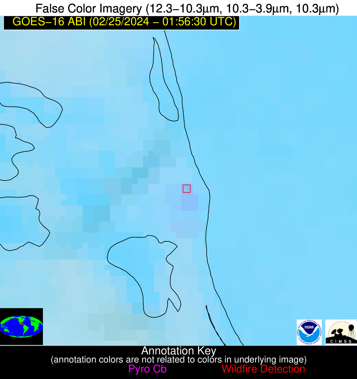
Possible Wildfire
| Basic Information | |
|---|---|
| State/Province(s) | AL |
| Country/Countries | USA |
| County/Locality(s) | Barbour County, AL |
| NWS WFO | Birmingham AL |
| Identification Method | Enhanced Contextual (Clear) |
| Mean Object Date/Time | 2024-02-25 01:57:21UTC |
| Radiative Center (Lat, Lon): | 31.970°, -85.120° |
| Nearby Counties (meeting alert criteria): |
|
| Total Radiative Power Anomaly | n/a |
| Total Radiative Power | 8.37 MW |
| Map: | |
| Additional Information | |
| Alert Status | New Feature |
| Type of Event | Nominal Risk |
| Event Priority Ranking | 4 |
| Maximum Observed BT (3.9 um) | 287.30 K |
| Observed - Background BT (3.9 um) | 6.55 K |
| BT Anomaly (3.9 um) | 8.89 K |
| Maximum Observed - Clear RTM BT (3.9 um) | 5.41 K |
| Maximum Observed BTD (3.9-10/11/12 um) | 5.53 K |
| Observed - Background BTD (3.9-10/11/12 um) | 5.45 K |
| BTD Anomaly (3.9-10/11/12 um) | 14.83 K |
| Similar Pixel Count | 2 |
| BT Time Tendency (3.9 um) | 4.30 K |
| Image Interval | 10.00 minutes |
| Fraction of Surrounding LWIR Pixels that are Colder | 0.96 |
| Fraction of Surrounding Red Channel Pixels that are Brighter | 1.00 |
| Maximum Radiative Power | 8.37 MW |
| Maximum Radiative Power Uncertainty | 0.00 MW |
| Total Radiative Power Uncertainty | 0.00 MW |
| Mean Viewing Angle | 38.90° |
| Mean Solar Zenith Angle | 120.90° |
| Mean Glint Angle | 99.00° |
| Water Fraction | 0.00 |
| Total Pixel Area | 5.60 km2 |
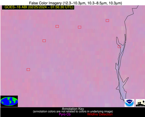
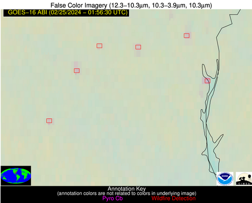
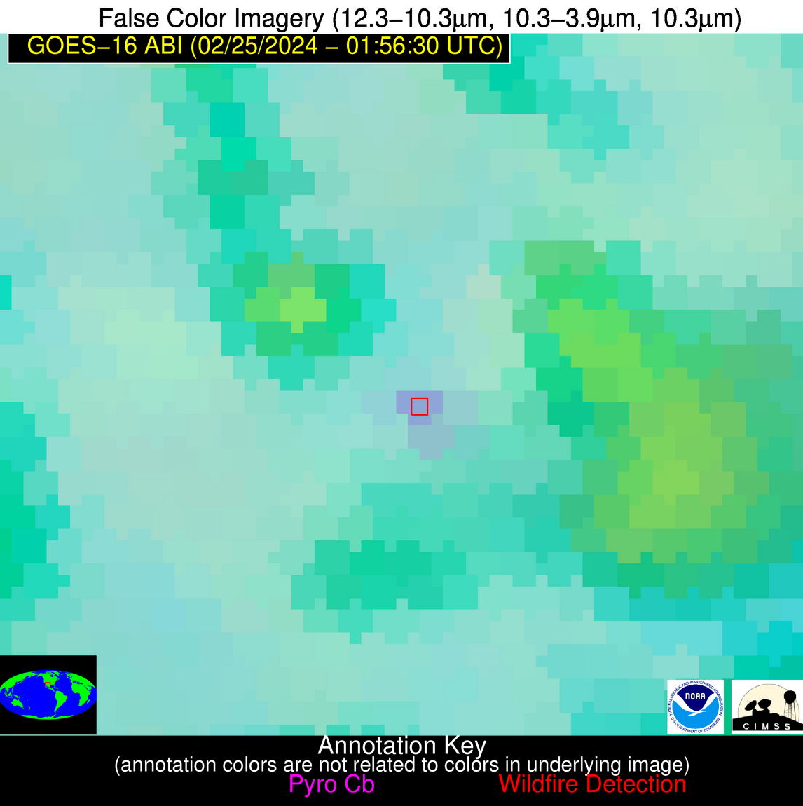
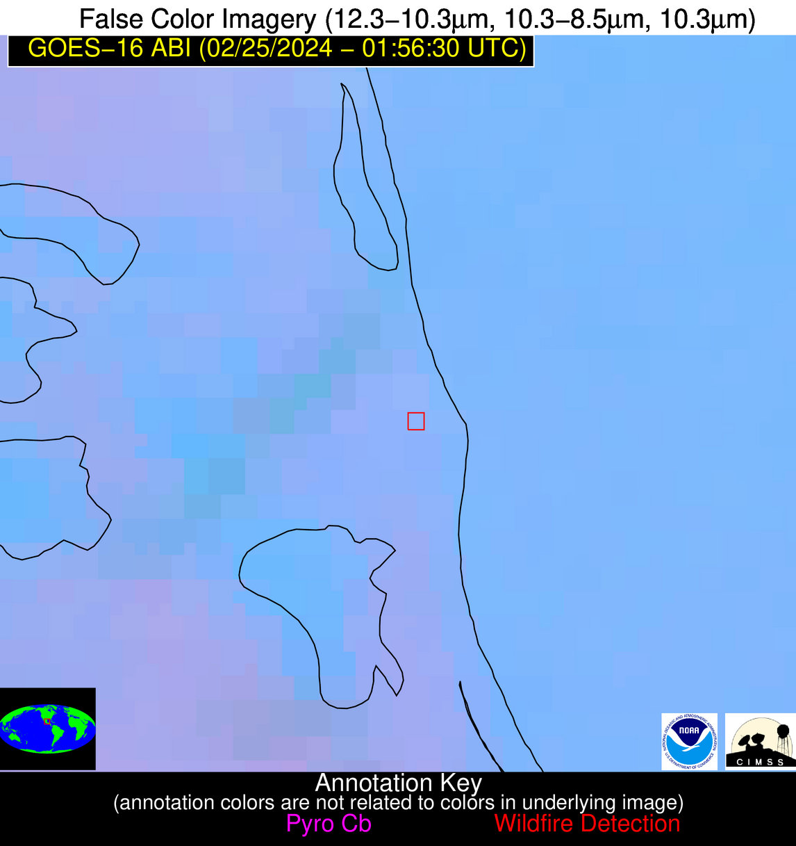
| Latest Satellite Imagery: | |
| View all event imagery » | |
Possible Wildfire
| Basic Information | |
|---|---|
| State/Province(s) | AL |
| Country/Countries | USA |
| County/Locality(s) | Pike County, AL |
| NWS WFO | Birmingham AL |
| Identification Method | Enhanced Contextual (Clear) |
| Mean Object Date/Time | 2024-02-25 01:57:21UTC |
| Radiative Center (Lat, Lon): | 31.830°, -86.130° |
| Nearby Counties (meeting alert criteria): |
|
| Total Radiative Power Anomaly | n/a |
| Total Radiative Power | 5.40 MW |
| Map: | |
| Additional Information | |
| Alert Status | New Feature |
| Type of Event | Nominal Risk |
| Event Priority Ranking | 4 |
| Maximum Observed BT (3.9 um) | 284.56 K |
| Observed - Background BT (3.9 um) | 3.65 K |
| BT Anomaly (3.9 um) | 6.24 K |
| Maximum Observed - Clear RTM BT (3.9 um) | 3.43 K |
| Maximum Observed BTD (3.9-10/11/12 um) | 3.87 K |
| Observed - Background BTD (3.9-10/11/12 um) | 3.84 K |
| BTD Anomaly (3.9-10/11/12 um) | 23.96 K |
| Similar Pixel Count | 1 |
| BT Time Tendency (3.9 um) | 3.30 K |
| Image Interval | 10.00 minutes |
| Fraction of Surrounding LWIR Pixels that are Colder | 0.32 |
| Fraction of Surrounding Red Channel Pixels that are Brighter | 1.00 |
| Maximum Radiative Power | 5.40 MW |
| Maximum Radiative Power Uncertainty | 0.00 MW |
| Total Radiative Power Uncertainty | 0.00 MW |
| Mean Viewing Angle | 39.10° |
| Mean Solar Zenith Angle | 120.10° |
| Mean Glint Angle | 97.70° |
| Water Fraction | 0.00 |
| Total Pixel Area | 5.60 km2 |
| Latest Satellite Imagery: | |
| View all event imagery » | |
Possible Wildfire
| Basic Information | |
|---|---|
| State/Province(s) | Unknown |
| Country/Countries | Mexico |
| County/Locality(s) | Mexico |
| NWS WFO | N/A |
| Identification Method | Enhanced Contextual (Clear) |
| Mean Object Date/Time | 2024-02-25 01:57:49UTC |
| Radiative Center (Lat, Lon): | 28.790°, -106.920° |
| Nearby Counties (meeting alert criteria): |
|
| Total Radiative Power Anomaly | n/a |
| Total Radiative Power | 16.82 MW |
| Map: | |
| Additional Information | |
| Alert Status | New Feature |
| Type of Event | Nominal Risk |
| Event Priority Ranking | 4 |
| Maximum Observed BT (3.9 um) | 292.40 K |
| Observed - Background BT (3.9 um) | 9.31 K |
| BT Anomaly (3.9 um) | 10.66 K |
| Maximum Observed - Clear RTM BT (3.9 um) | 4.53 K |
| Maximum Observed BTD (3.9-10/11/12 um) | 8.64 K |
| Observed - Background BTD (3.9-10/11/12 um) | 7.70 K |
| BTD Anomaly (3.9-10/11/12 um) | 11.33 K |
| Similar Pixel Count | 1 |
| BT Time Tendency (3.9 um) | 3.70 K |
| Image Interval | 10.00 minutes |
| Fraction of Surrounding LWIR Pixels that are Colder | 1.00 |
| Fraction of Surrounding Red Channel Pixels that are Brighter | 1.00 |
| Maximum Radiative Power | 16.82 MW |
| Maximum Radiative Power Uncertainty | 0.00 MW |
| Total Radiative Power Uncertainty | 0.00 MW |
| Mean Viewing Angle | 48.50° |
| Mean Solar Zenith Angle | 102.20° |
| Mean Glint Angle | 66.20° |
| Water Fraction | 0.00 |
| Total Pixel Area | 7.30 km2 |
| Latest Satellite Imagery: | |
| View all event imagery » | |
Possible Wildfire
| Basic Information | |
|---|---|
| State/Province(s) | Unknown |
| Country/Countries | Mexico |
| County/Locality(s) | Mexico |
| NWS WFO | N/A |
| Identification Method | Enhanced Contextual (Clear) |
| Mean Object Date/Time | 2024-02-25 01:58:19UTC |
| Radiative Center (Lat, Lon): | 22.270°, -97.810° |
| Nearby Counties (meeting alert criteria): |
|
| Total Radiative Power Anomaly | n/a |
| Total Radiative Power | 7.67 MW |
| Map: | |
| Additional Information | |
| Alert Status | New Feature |
| Type of Event | Oil/gas |
| Event Priority Ranking | 5 |
| Maximum Observed BT (3.9 um) | 297.07 K |
| Observed - Background BT (3.9 um) | 3.83 K |
| BT Anomaly (3.9 um) | 4.44 K |
| Maximum Observed - Clear RTM BT (3.9 um) | 6.57 K |
| Maximum Observed BTD (3.9-10/11/12 um) | 5.55 K |
| Observed - Background BTD (3.9-10/11/12 um) | 3.37 K |
| BTD Anomaly (3.9-10/11/12 um) | 7.35 K |
| Similar Pixel Count | 3 |
| BT Time Tendency (3.9 um) | 2.10 K |
| Image Interval | 10.00 minutes |
| Fraction of Surrounding LWIR Pixels that are Colder | 0.65 |
| Fraction of Surrounding Red Channel Pixels that are Brighter | 1.00 |
| Maximum Radiative Power | 7.67 MW |
| Maximum Radiative Power Uncertainty | 0.00 MW |
| Total Radiative Power Uncertainty | 0.00 MW |
| Mean Viewing Angle | 36.60° |
| Mean Solar Zenith Angle | 110.10° |
| Mean Glint Angle | 82.90° |
| Water Fraction | 0.00 |
| Total Pixel Area | 5.50 km2 |
| Latest Satellite Imagery: | |
| View all event imagery » | |
