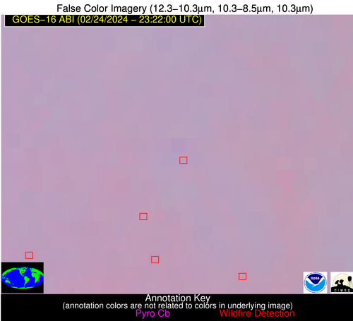
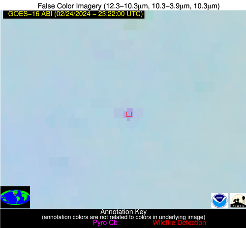
Wildfire Alert Report
| Date: | 2024-02-24 |
|---|---|
| Time: | 23:21:55 |
| Production Date and Time: | 2024-02-24 23:23:10 UTC |
| Primary Instrument: | GOES-16 ABI |
| Wmo Spacecraft Id: | 152 |
| Location/orbit: | GEO |
| L1 File: | OR_ABI-L1b-RadM2-M6C14_G16_s20240552321551_e20240552322008_c20240552322058.nc |
| L1 File(s) - Temporal | OR_ABI-L1b-RadM2-M6C14_G16_s20240552318551_e20240552319008_c20240552319063.nc |
| Number Of Thermal Anomaly Alerts: | 2 |
Possible Wildfire
| Basic Information | |
|---|---|
| State/Province(s) | MO |
| Country/Countries | USA |
| County/Locality(s) | Texas County, MO |
| NWS WFO | Springfield MO |
| Identification Method | Enhanced Contextual (Cloud) |
| Mean Object Date/Time | 2024-02-24 23:22:01UTC |
| Radiative Center (Lat, Lon): | 37.530°, -92.030° |
| Nearby Counties (meeting alert criteria): |
|
| Total Radiative Power Anomaly | n/a |
| Total Radiative Power | 52.64 MW |
| Map: | |
| Additional Information | |
| Alert Status | New Feature |
| Type of Event | Nominal Risk, Known Incident: HANKS RX (HIGH, tdiff=3.91323 days, PERIMETER) |
| Event Priority Ranking | 4 |
| Maximum Observed BT (3.9 um) | 303.35 K |
| Observed - Background BT (3.9 um) | 23.00 K |
| BT Anomaly (3.9 um) | 47.36 K |
| Maximum Observed - Clear RTM BT (3.9 um) | 26.61 K |
| Maximum Observed BTD (3.9-10/11/12 um) | 22.87 K |
| Observed - Background BTD (3.9-10/11/12 um) | 21.98 K |
| BTD Anomaly (3.9-10/11/12 um) | 75.10 K |
| Similar Pixel Count | 0 |
| BT Time Tendency (3.9 um) | 8.00 K |
| Image Interval | 3.00 minutes |
| Fraction of Surrounding LWIR Pixels that are Colder | 1.00 |
| Fraction of Surrounding Red Channel Pixels that are Brighter | 0.00 |
| Maximum Radiative Power | 52.64 MW |
| Maximum Radiative Power Uncertainty | 0.00 MW |
| Total Radiative Power Uncertainty | 0.00 MW |
| Mean Viewing Angle | 47.20° |
| Mean Solar Zenith Angle | 84.40° |
| Mean Glint Angle | 79.30° |
| Water Fraction | 0.00 |
| Total Pixel Area | 6.70 km2 |
| Latest Satellite Imagery: | |
| View all event imagery » | |
Possible Wildfire
| Basic Information | |
|---|---|
| State/Province(s) | OK |
| Country/Countries | USA |
| County/Locality(s) | Rogers County, OK |
| NWS WFO | Tulsa OK |
| Identification Method | Enhanced Contextual (Clear) |
| Mean Object Date/Time | 2024-02-24 23:22:00UTC |
| Radiative Center (Lat, Lon): | 36.200°, -95.660° |
| Nearby Counties (meeting alert criteria): |
|
| Total Radiative Power Anomaly | n/a |
| Total Radiative Power | 13.12 MW |
| Map: | |
| Additional Information | |
| Alert Status | New Feature |
| Type of Event | Nominal Risk |
| Event Priority Ranking | 4 |
| Maximum Observed BT (3.9 um) | 293.96 K |
| Observed - Background BT (3.9 um) | 6.19 K |
| BT Anomaly (3.9 um) | 8.29 K |
| Maximum Observed - Clear RTM BT (3.9 um) | 10.76 K |
| Maximum Observed BTD (3.9-10/11/12 um) | 7.71 K |
| Observed - Background BTD (3.9-10/11/12 um) | 5.85 K |
| BTD Anomaly (3.9-10/11/12 um) | 24.71 K |
| Similar Pixel Count | 1 |
| BT Time Tendency (3.9 um) | 3.20 K |
| Image Interval | 3.00 minutes |
| Fraction of Surrounding LWIR Pixels that are Colder | 0.70 |
| Fraction of Surrounding Red Channel Pixels that are Brighter | 1.00 |
| Maximum Radiative Power | 13.12 MW |
| Maximum Radiative Power Uncertainty | 0.00 MW |
| Total Radiative Power Uncertainty | 0.00 MW |
| Mean Viewing Angle | 47.50° |
| Mean Solar Zenith Angle | 81.30° |
| Mean Glint Angle | 74.40° |
| Water Fraction | 0.00 |
| Total Pixel Area | 6.80 km2 |
| Latest Satellite Imagery: | |
| View all event imagery » | |


