Wildfire Alert Report
| Date: | 2024-02-24 |
|---|---|
| Time: | 16:58:55 |
| Production Date and Time: | 2024-02-24 16:59:42 UTC |
| Primary Instrument: | GOES-16 ABI |
| Wmo Spacecraft Id: | 152 |
| Location/orbit: | GEO |
| L1 File: | OR_ABI-L1b-RadM2-M6C14_G16_s20240551658551_e20240551659008_c20240551659067.nc |
| L1 File(s) - Temporal | OR_ABI-L1b-RadM2-M6C14_G16_s20240551656551_e20240551657008_c20240551657063.nc |
| Number Of Thermal Anomaly Alerts: | 4 |
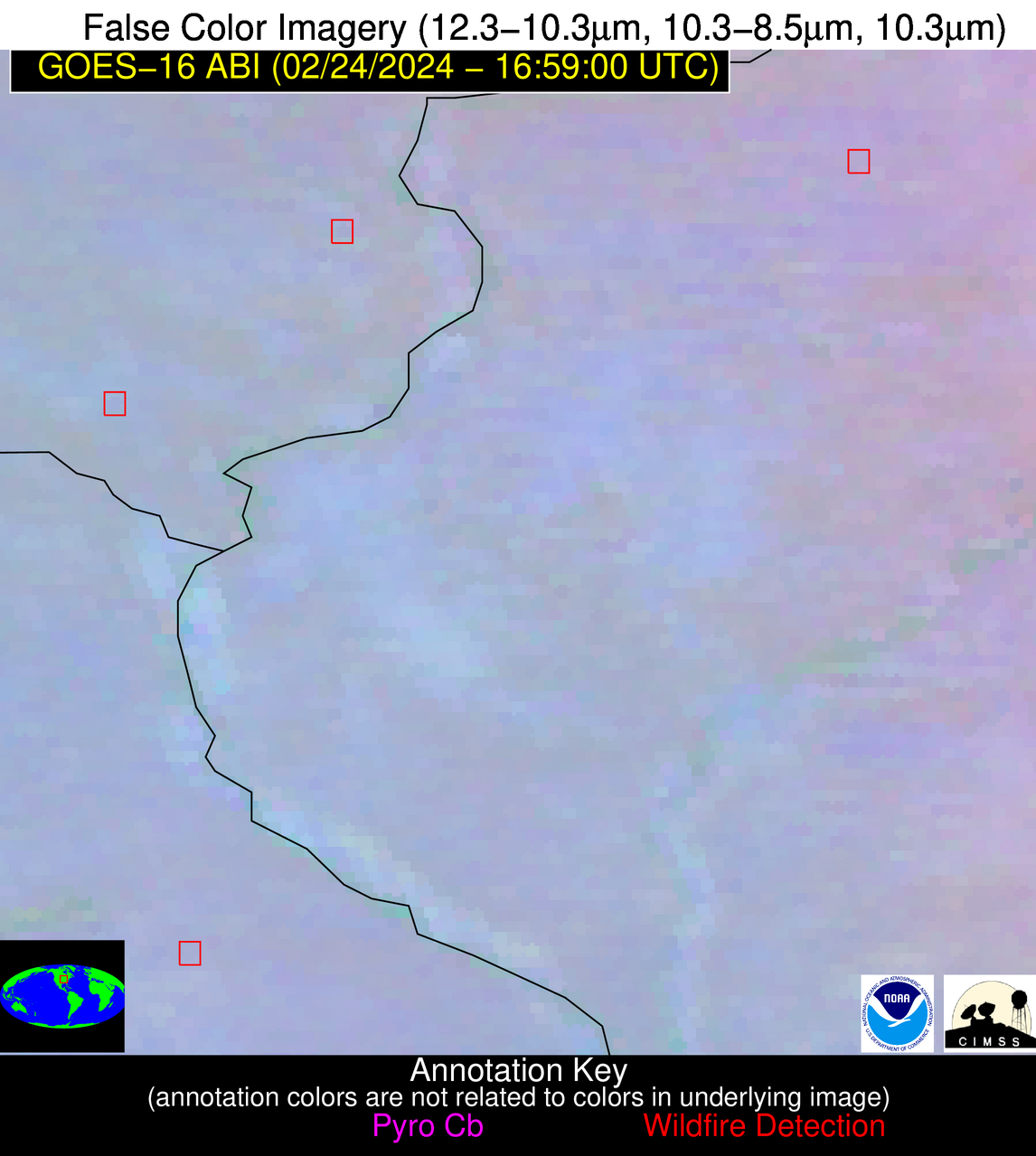
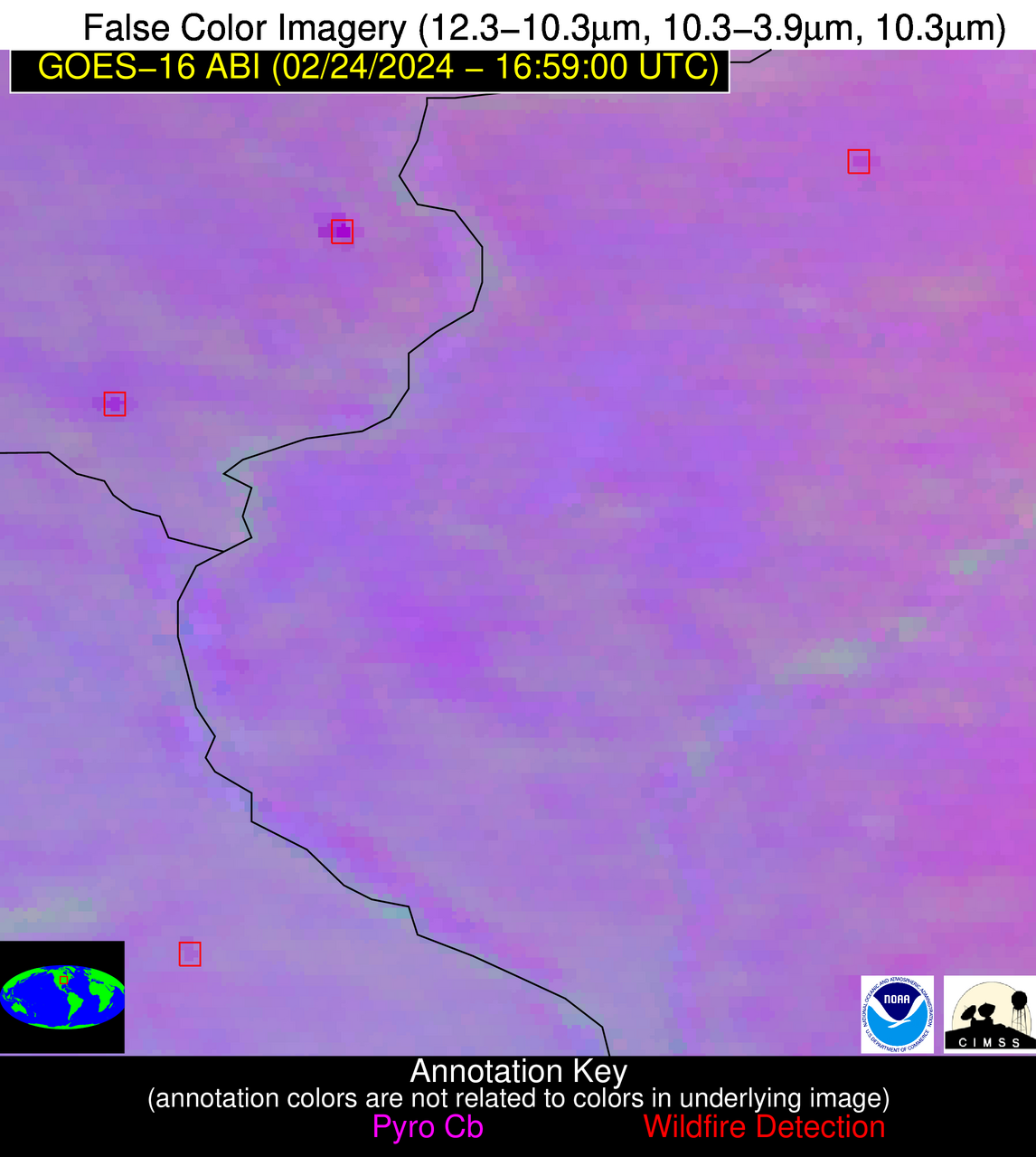
Possible Wildfire
| Basic Information | |
|---|---|
| State/Province(s) | IL |
| Country/Countries | USA |
| County/Locality(s) | Henry County, IL |
| NWS WFO | Quad Cities IL |
| Identification Method | Enhanced Contextual (Clear) |
| Mean Object Date/Time | 2024-02-24 16:58:56UTC |
| Radiative Center (Lat, Lon): | 41.280000°, -90.270000° |
| Nearby Counties (meeting alert criteria): |
|
| Total Radiative Power Anomaly | n/a |
| Total Radiative Power | 16.70 MW |
| Map: | |
| Additional Information | |
| Alert Status | New Feature |
| Type of Event | Nominal Risk |
| Event Priority Ranking | 4 |
| Maximum Observed BT (3.9 um) | 303.95 K |
| Observed - Background BT (3.9 um) | 4.57 K |
| BT Anomaly (3.9 um) | 2.60 K |
| Maximum Observed - Clear RTM BT (3.9 um) | 25.53 K |
| Maximum Observed BTD (3.9-10/11/12 um) | 20.64 K |
| Observed - Background BTD (3.9-10/11/12 um) | 4.94 K |
| BTD Anomaly (3.9-10/11/12 um) | 5.62 K |
| Similar Pixel Count | 25 |
| BT Time Tendency (3.9 um) | 3.70 K |
| Image Interval | 2.00 minutes |
| Fraction of Surrounding LWIR Pixels that are Colder | 0.31 |
| Fraction of Surrounding Red Channel Pixels that are Brighter | 1.00 |
| Maximum Radiative Power | 16.70 MW |
| Maximum Radiative Power Uncertainty | 0.00 MW |
| Total Radiative Power Uncertainty | 0.00 MW |
| Mean Viewing Angle | 50.40° |
| Mean Solar Zenith Angle | 54.00° |
| Mean Glint Angle | 104.40° |
| Water Fraction | 0.00 |
| Total Pixel Area | 7.20 km2 |
| Latest Satellite Imagery: | |
| View all event imagery » | |
Possible Wildfire
| Basic Information | |
|---|---|
| State/Province(s) | MO |
| Country/Countries | USA |
| County/Locality(s) | Ralls County, MO |
| NWS WFO | St Louis MO |
| Identification Method | Enhanced Contextual (Clear) |
| Mean Object Date/Time | 2024-02-24 16:58:56UTC |
| Radiative Center (Lat, Lon): | 39.420000°, -91.480000° |
| Nearby Counties (meeting alert criteria): |
|
| Total Radiative Power Anomaly | n/a |
| Total Radiative Power | 12.48 MW |
| Map: | |
| Additional Information | |
| Alert Status | New Feature |
| Type of Event | Nominal Risk |
| Event Priority Ranking | 4 |
| Maximum Observed BT (3.9 um) | 300.55 K |
| Observed - Background BT (3.9 um) | 3.10 K |
| BT Anomaly (3.9 um) | 1.68 K |
| Maximum Observed - Clear RTM BT (3.9 um) | 18.17 K |
| Maximum Observed BTD (3.9-10/11/12 um) | 16.79 K |
| Observed - Background BTD (3.9-10/11/12 um) | 3.61 K |
| BTD Anomaly (3.9-10/11/12 um) | 3.54 K |
| Similar Pixel Count | 25 |
| BT Time Tendency (3.9 um) | 3.90 K |
| Image Interval | 2.00 minutes |
| Fraction of Surrounding LWIR Pixels that are Colder | 0.32 |
| Fraction of Surrounding Red Channel Pixels that are Brighter | 0.99 |
| Maximum Radiative Power | 12.48 MW |
| Maximum Radiative Power Uncertainty | 0.00 MW |
| Total Radiative Power Uncertainty | 0.00 MW |
| Mean Viewing Angle | 48.90° |
| Mean Solar Zenith Angle | 52.70° |
| Mean Glint Angle | 101.60° |
| Water Fraction | 0.00 |
| Total Pixel Area | 7.00 km2 |
| Latest Satellite Imagery: | |
| View all event imagery » | |
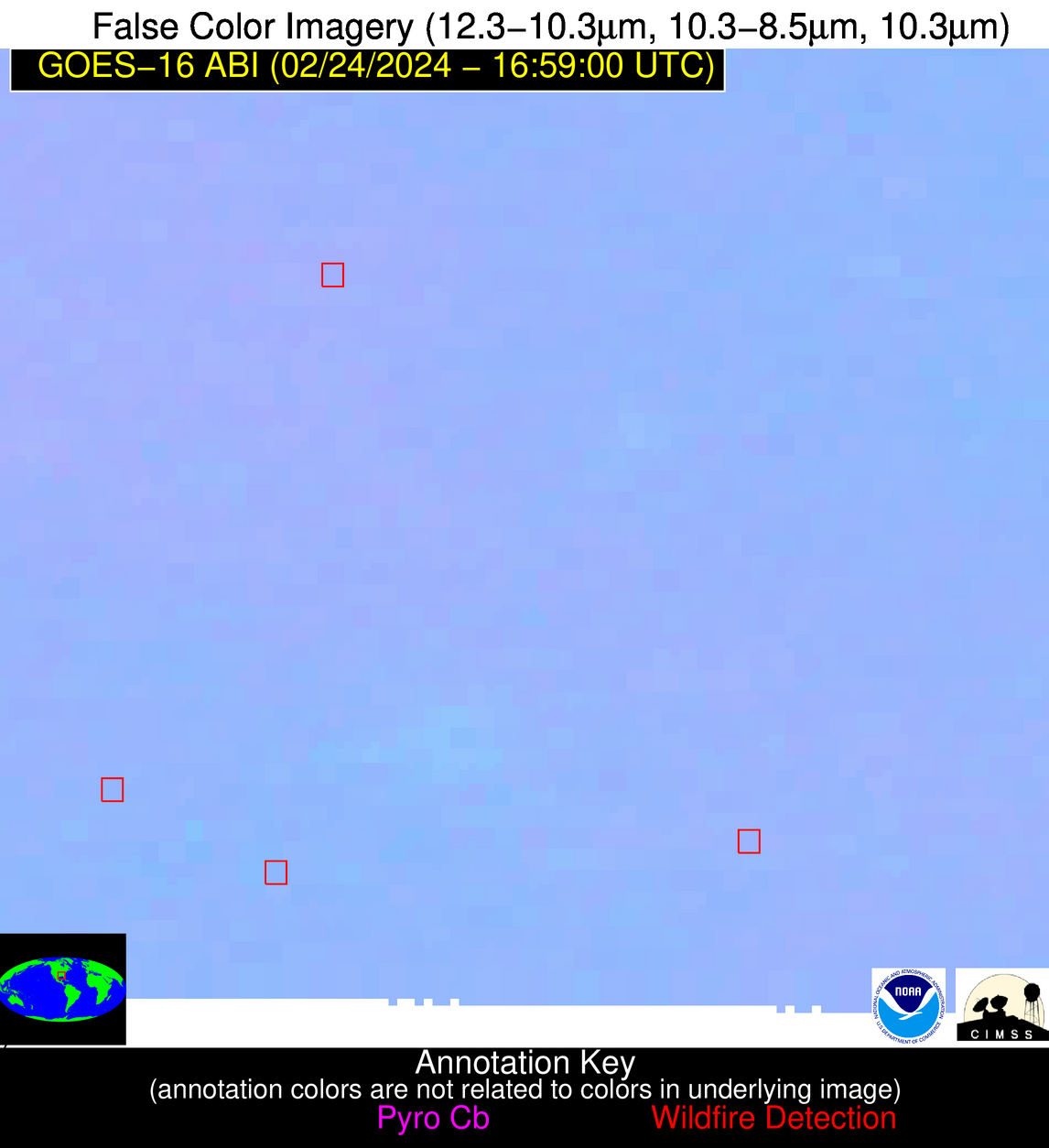
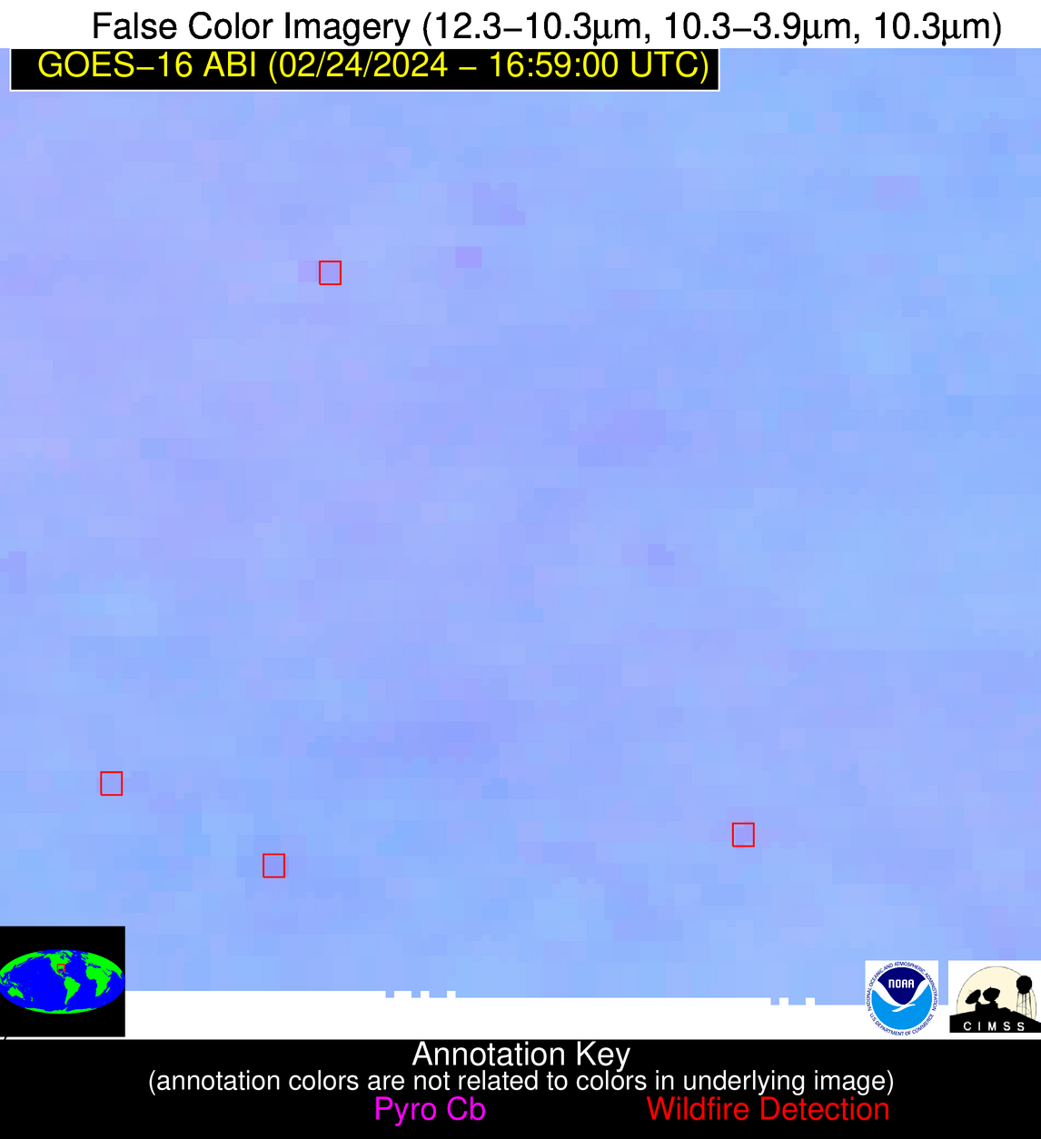
Possible Wildfire
| Basic Information | |
|---|---|
| State/Province(s) | MS |
| Country/Countries | USA |
| County/Locality(s) | Smith County, MS |
| NWS WFO | Jackson MS |
| Identification Method | Enhanced Contextual (Clear) |
| Mean Object Date/Time | 2024-02-24 16:58:59UTC |
| Radiative Center (Lat, Lon): | 31.870000°, -89.430000° |
| Nearby Counties (meeting alert criteria): |
|
| Total Radiative Power Anomaly | n/a |
| Total Radiative Power | 6.80 MW |
| Map: | |
| Additional Information | |
| Alert Status | New Feature |
| Type of Event | Nominal Risk |
| Event Priority Ranking | 4 |
| Maximum Observed BT (3.9 um) | 302.08 K |
| Observed - Background BT (3.9 um) | 2.33 K |
| BT Anomaly (3.9 um) | 2.91 K |
| Maximum Observed - Clear RTM BT (3.9 um) | 13.14 K |
| Maximum Observed BTD (3.9-10/11/12 um) | 9.06 K |
| Observed - Background BTD (3.9-10/11/12 um) | 2.41 K |
| BTD Anomaly (3.9-10/11/12 um) | 5.06 K |
| Similar Pixel Count | 17 |
| BT Time Tendency (3.9 um) | 1.20 K |
| Image Interval | 2.00 minutes |
| Fraction of Surrounding LWIR Pixels that are Colder | 0.44 |
| Fraction of Surrounding Red Channel Pixels that are Brighter | 1.00 |
| Maximum Radiative Power | 6.80 MW |
| Maximum Radiative Power Uncertainty | 0.00 MW |
| Total Radiative Power Uncertainty | 0.00 MW |
| Mean Viewing Angle | 40.40° |
| Mean Solar Zenith Angle | 45.10° |
| Mean Glint Angle | 85.50° |
| Water Fraction | 0.00 |
| Total Pixel Area | 5.80 km2 |
| Latest Satellite Imagery: | |
| View all event imagery » | |
Possible Wildfire
| Basic Information | |
|---|---|
| State/Province(s) | MS |
| Country/Countries | USA |
| County/Locality(s) | Perry County, MS |
| NWS WFO | Mobile AL |
| Identification Method | Enhanced Contextual (Clear) |
| Mean Object Date/Time | 2024-02-24 16:58:59UTC |
| Radiative Center (Lat, Lon): | 31.210000°, -89.030000° |
| Nearby Counties (meeting alert criteria): |
|
| Total Radiative Power Anomaly | n/a |
| Total Radiative Power | 7.87 MW |
| Map: | |
| Additional Information | |
| Alert Status | New Feature |
| Type of Event | Nominal Risk |
| Event Priority Ranking | 4 |
| Maximum Observed BT (3.9 um) | 302.90 K |
| Observed - Background BT (3.9 um) | 2.97 K |
| BT Anomaly (3.9 um) | 3.06 K |
| Maximum Observed - Clear RTM BT (3.9 um) | 12.41 K |
| Maximum Observed BTD (3.9-10/11/12 um) | 9.31 K |
| Observed - Background BTD (3.9-10/11/12 um) | 2.87 K |
| BTD Anomaly (3.9-10/11/12 um) | 4.52 K |
| Similar Pixel Count | 18 |
| BT Time Tendency (3.9 um) | 1.10 K |
| Image Interval | 2.00 minutes |
| Fraction of Surrounding LWIR Pixels that are Colder | 0.62 |
| Fraction of Surrounding Red Channel Pixels that are Brighter | 1.00 |
| Maximum Radiative Power | 7.87 MW |
| Maximum Radiative Power Uncertainty | 0.00 MW |
| Total Radiative Power Uncertainty | 0.00 MW |
| Mean Viewing Angle | 39.50° |
| Mean Solar Zenith Angle | 44.40° |
| Mean Glint Angle | 83.90° |
| Water Fraction | 0.00 |
| Total Pixel Area | 5.70 km2 |
| Latest Satellite Imagery: | |
| View all event imagery » | |


