Wildfire Alert Report
| Date: | 2024-02-24 |
|---|---|
| Time: | 15:21:17 |
| Production Date and Time: | 2024-02-24 15:25:54 UTC |
| Primary Instrument: | GOES-16 ABI |
| Wmo Spacecraft Id: | 152 |
| Location/orbit: | GEO |
| L1 File: | OR_ABI-L1b-RadC-M6C14_G16_s20240551521172_e20240551523545_c20240551524038.nc |
| L1 File(s) - Temporal | OR_ABI-L1b-RadC-M6C14_G16_s20240551516172_e20240551518545_c20240551519036.nc |
| Number Of Thermal Anomaly Alerts: | 7 |
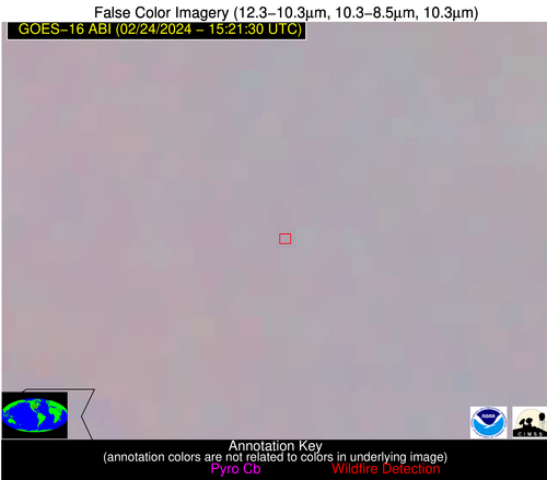
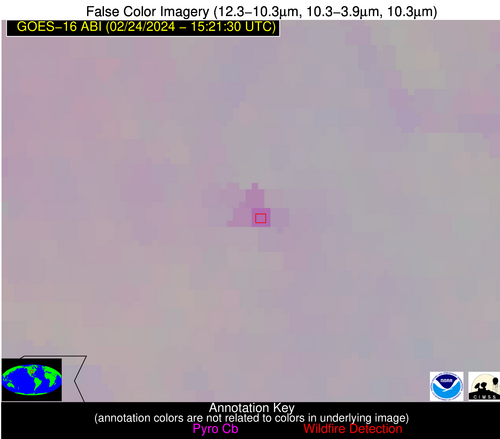
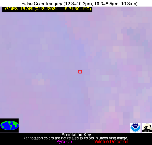
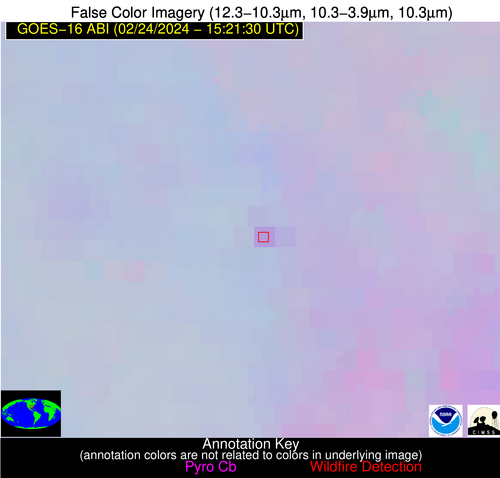
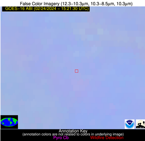
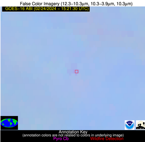
Possible Wildfire
| Basic Information | |
|---|---|
| State/Province(s) | MO |
| Country/Countries | USA |
| County/Locality(s) | Andrew County, MO |
| NWS WFO | Kansas City/Pleasant Hill MO |
| Identification Method | Enhanced Contextual (Clear) |
| Mean Object Date/Time | 2024-02-24 15:21:50UTC |
| Radiative Center (Lat, Lon): | 40.080000°, -94.680000° |
| Nearby Counties (meeting alert criteria): |
|
| Total Radiative Power Anomaly | n/a |
| Total Radiative Power | 17.65 MW |
| Map: | |
| Additional Information | |
| Alert Status | New Feature |
| Type of Event | Nominal Risk |
| Event Priority Ranking | 4 |
| Maximum Observed BT (3.9 um) | 292.89 K |
| Observed - Background BT (3.9 um) | 7.79 K |
| BT Anomaly (3.9 um) | 13.85 K |
| Maximum Observed - Clear RTM BT (3.9 um) | 15.41 K |
| Maximum Observed BTD (3.9-10/11/12 um) | 15.73 K |
| Observed - Background BTD (3.9-10/11/12 um) | 7.71 K |
| BTD Anomaly (3.9-10/11/12 um) | 17.78 K |
| Similar Pixel Count | 3 |
| BT Time Tendency (3.9 um) | 5.90 K |
| Image Interval | 5.00 minutes |
| Fraction of Surrounding LWIR Pixels that are Colder | 0.56 |
| Fraction of Surrounding Red Channel Pixels that are Brighter | 1.00 |
| Maximum Radiative Power | 17.65 MW |
| Maximum Radiative Power Uncertainty | 0.00 MW |
| Total Radiative Power Uncertainty | 0.00 MW |
| Mean Viewing Angle | 50.80° |
| Mean Solar Zenith Angle | 66.60° |
| Mean Glint Angle | 113.50° |
| Water Fraction | 0.00 |
| Total Pixel Area | 7.40 km2 |
| Latest Satellite Imagery: | |
| View all event imagery » | |
Possible Wildfire
| Basic Information | |
|---|---|
| State/Province(s) | KS |
| Country/Countries | USA |
| County/Locality(s) | Labette County, KS |
| NWS WFO | Wichita KS |
| Identification Method | Enhanced Contextual (Clear) |
| Mean Object Date/Time | 2024-02-24 15:21:50UTC |
| Radiative Center (Lat, Lon): | 37.100000°, -95.110000° |
| Nearby Counties (meeting alert criteria): |
|
| Total Radiative Power Anomaly | n/a |
| Total Radiative Power | 3.92 MW |
| Map: | |
| Additional Information | |
| Alert Status | New Feature |
| Type of Event | Nominal Risk |
| Event Priority Ranking | 4 |
| Maximum Observed BT (3.9 um) | 290.03 K |
| Observed - Background BT (3.9 um) | 2.02 K |
| BT Anomaly (3.9 um) | 4.50 K |
| Maximum Observed - Clear RTM BT (3.9 um) | 7.15 K |
| Maximum Observed BTD (3.9-10/11/12 um) | 8.40 K |
| Observed - Background BTD (3.9-10/11/12 um) | 1.94 K |
| BTD Anomaly (3.9-10/11/12 um) | 3.83 K |
| Similar Pixel Count | 25 |
| BT Time Tendency (3.9 um) | 2.30 K |
| Image Interval | 5.00 minutes |
| Fraction of Surrounding LWIR Pixels that are Colder | 0.60 |
| Fraction of Surrounding Red Channel Pixels that are Brighter | 1.00 |
| Maximum Radiative Power | 3.92 MW |
| Maximum Radiative Power Uncertainty | 0.00 MW |
| Total Radiative Power Uncertainty | 0.00 MW |
| Mean Viewing Angle | 48.10° |
| Mean Solar Zenith Angle | 65.10° |
| Mean Glint Angle | 109.80° |
| Water Fraction | 0.00 |
| Total Pixel Area | 6.90 km2 |
| Latest Satellite Imagery: | |
| View all event imagery » | |
Possible Wildfire
| Basic Information | |
|---|---|
| State/Province(s) | AR |
| Country/Countries | USA |
| County/Locality(s) | Drew County, AR |
| NWS WFO | Little Rock AR |
| Identification Method | Enhanced Contextual (Clear) |
| Mean Object Date/Time | 2024-02-24 15:22:20UTC |
| Radiative Center (Lat, Lon): | 33.590000°, -91.560000° |
| Nearby Counties (meeting alert criteria): |
|
| Total Radiative Power Anomaly | n/a |
| Total Radiative Power | 11.01 MW |
| Map: | |
| Additional Information | |
| Alert Status | New Feature |
| Type of Event | Nominal Risk |
| Event Priority Ranking | 4 |
| Maximum Observed BT (3.9 um) | 295.08 K |
| Observed - Background BT (3.9 um) | 4.65 K |
| BT Anomaly (3.9 um) | 3.86 K |
| Maximum Observed - Clear RTM BT (3.9 um) | 10.63 K |
| Maximum Observed BTD (3.9-10/11/12 um) | 9.17 K |
| Observed - Background BTD (3.9-10/11/12 um) | 4.49 K |
| BTD Anomaly (3.9-10/11/12 um) | 4.75 K |
| Similar Pixel Count | 2 |
| BT Time Tendency (3.9 um) | 4.90 K |
| Image Interval | 5.00 minutes |
| Fraction of Surrounding LWIR Pixels that are Colder | 0.62 |
| Fraction of Surrounding Red Channel Pixels that are Brighter | 1.00 |
| Maximum Radiative Power | 11.01 MW |
| Maximum Radiative Power Uncertainty | 0.00 MW |
| Total Radiative Power Uncertainty | 0.00 MW |
| Mean Viewing Angle | 43.00° |
| Mean Solar Zenith Angle | 60.60° |
| Mean Glint Angle | 100.50° |
| Water Fraction | 0.00 |
| Total Pixel Area | 6.10 km2 |
| Latest Satellite Imagery: | |
| View all event imagery » | |
Possible Wildfire
| Basic Information | |
|---|---|
| State/Province(s) | TX |
| Country/Countries | USA |
| County/Locality(s) | Mills County, TX |
| NWS WFO | Fort Worth TX |
| Identification Method | Enhanced Contextual (Clear) |
| Mean Object Date/Time | 2024-02-24 15:22:20UTC |
| Radiative Center (Lat, Lon): | 31.710000°, -98.520000° |
| Nearby Counties (meeting alert criteria): |
|
| Total Radiative Power Anomaly | n/a |
| Total Radiative Power | 5.93 MW |
| Map: | |
| Additional Information | |
| Alert Status | New Feature |
| Type of Event | Nominal Risk |
| Event Priority Ranking | 4 |
| Maximum Observed BT (3.9 um) | 295.83 K |
| Observed - Background BT (3.9 um) | 2.69 K |
| BT Anomaly (3.9 um) | 3.22 K |
| Maximum Observed - Clear RTM BT (3.9 um) | 6.46 K |
| Maximum Observed BTD (3.9-10/11/12 um) | 7.44 K |
| Observed - Background BTD (3.9-10/11/12 um) | 2.47 K |
| BTD Anomaly (3.9-10/11/12 um) | 9.22 K |
| Similar Pixel Count | 11 |
| BT Time Tendency (3.9 um) | 1.60 K |
| Image Interval | 5.00 minutes |
| Fraction of Surrounding LWIR Pixels that are Colder | 0.57 |
| Fraction of Surrounding Red Channel Pixels that are Brighter | 0.99 |
| Maximum Radiative Power | 5.93 MW |
| Maximum Radiative Power Uncertainty | 0.00 MW |
| Total Radiative Power Uncertainty | 0.00 MW |
| Mean Viewing Angle | 44.90° |
| Mean Solar Zenith Angle | 64.40° |
| Mean Glint Angle | 107.20° |
| Water Fraction | 0.00 |
| Total Pixel Area | 6.50 km2 |
| Latest Satellite Imagery: | |
| View all event imagery » | |
Possible Wildfire
| Basic Information | |
|---|---|
| State/Province(s) | LA |
| Country/Countries | USA |
| County/Locality(s) | East Baton Rouge Parish, LA |
| NWS WFO | New Orleans LA |
| Identification Method | Enhanced Contextual (Clear) |
| Mean Object Date/Time | 2024-02-24 15:22:20UTC |
| Radiative Center (Lat, Lon): | 30.710000°, -91.080000° |
| Nearby Counties (meeting alert criteria): |
|
| Total Radiative Power Anomaly | n/a |
| Total Radiative Power | 11.21 MW |
| Map: | |
| Additional Information | |
| Alert Status | New Feature |
| Type of Event | Nominal Risk |
| Event Priority Ranking | 4 |
| Maximum Observed BT (3.9 um) | 297.99 K |
| Observed - Background BT (3.9 um) | 4.80 K |
| BT Anomaly (3.9 um) | 3.93 K |
| Maximum Observed - Clear RTM BT (3.9 um) | 12.00 K |
| Maximum Observed BTD (3.9-10/11/12 um) | 9.02 K |
| Observed - Background BTD (3.9-10/11/12 um) | 4.78 K |
| BTD Anomaly (3.9-10/11/12 um) | 8.05 K |
| Similar Pixel Count | 1 |
| BT Time Tendency (3.9 um) | 2.00 K |
| Image Interval | 5.00 minutes |
| Fraction of Surrounding LWIR Pixels that are Colder | 0.60 |
| Fraction of Surrounding Red Channel Pixels that are Brighter | 1.00 |
| Maximum Radiative Power | 11.21 MW |
| Maximum Radiative Power Uncertainty | 0.00 MW |
| Total Radiative Power Uncertainty | 0.00 MW |
| Mean Viewing Angle | 39.90° |
| Mean Solar Zenith Angle | 58.60° |
| Mean Glint Angle | 95.70° |
| Water Fraction | 0.00 |
| Total Pixel Area | 5.70 km2 |
| Latest Satellite Imagery: | |
| View all event imagery » | |
Possible Wildfire
| Basic Information | |
|---|---|
| State/Province(s) | FL |
| Country/Countries | USA |
| County/Locality(s) | Polk County, FL |
| NWS WFO | Tampa Bay Ruskin FL |
| Identification Method | Enhanced Contextual (Clear) |
| Mean Object Date/Time | 2024-02-24 15:22:52UTC |
| Radiative Center (Lat, Lon): | 27.740000°, -81.750000° |
| Nearby Counties (meeting alert criteria): |
|
| Total Radiative Power Anomaly | n/a |
| Total Radiative Power | 24.66 MW |
| Map: | |
| Additional Information | |
| Alert Status | New Feature |
| Type of Event | Nominal Risk |
| Event Priority Ranking | 4 |
| Maximum Observed BT (3.9 um) | 302.82 K |
| Observed - Background BT (3.9 um) | 6.35 K |
| BT Anomaly (3.9 um) | 4.58 K |
| Maximum Observed - Clear RTM BT (3.9 um) | 13.58 K |
| Maximum Observed BTD (3.9-10/11/12 um) | 10.88 K |
| Observed - Background BTD (3.9-10/11/12 um) | 5.45 K |
| BTD Anomaly (3.9-10/11/12 um) | 7.41 K |
| Similar Pixel Count | 3 |
| BT Time Tendency (3.9 um) | 3.90 K |
| Image Interval | 5.00 minutes |
| Fraction of Surrounding LWIR Pixels that are Colder | 0.76 |
| Fraction of Surrounding Red Channel Pixels that are Brighter | 1.00 |
| Maximum Radiative Power | 12.66 MW |
| Maximum Radiative Power Uncertainty | 0.00 MW |
| Total Radiative Power Uncertainty | 0.00 MW |
| Mean Viewing Angle | 33.30° |
| Mean Solar Zenith Angle | 50.40° |
| Mean Glint Angle | 79.80° |
| Water Fraction | 0.00 |
| Total Pixel Area | 10.20 km2 |
| Latest Satellite Imagery: | |
| View all event imagery » | |
Possible Wildfire
| Basic Information | |
|---|---|
| State/Province(s) | Unknown |
| Country/Countries | Cuba |
| County/Locality(s) | Cuba |
| NWS WFO | N/A |
| Identification Method | Enhanced Contextual (Clear) |
| Mean Object Date/Time | 2024-02-24 15:23:22UTC |
| Radiative Center (Lat, Lon): | 22.700000°, -80.690000° |
| Nearby Counties (meeting alert criteria): |
|
| Total Radiative Power Anomaly | n/a |
| Total Radiative Power | 7.13 MW |
| Map: | |
| Additional Information | |
| Alert Status | New Feature |
| Type of Event | Nominal Risk |
| Event Priority Ranking | 4 |
| Maximum Observed BT (3.9 um) | 305.64 K |
| Observed - Background BT (3.9 um) | 4.26 K |
| BT Anomaly (3.9 um) | 3.22 K |
| Maximum Observed - Clear RTM BT (3.9 um) | 9.98 K |
| Maximum Observed BTD (3.9-10/11/12 um) | 12.02 K |
| Observed - Background BTD (3.9-10/11/12 um) | 3.51 K |
| BTD Anomaly (3.9-10/11/12 um) | 4.78 K |
| Similar Pixel Count | 24 |
| BT Time Tendency (3.9 um) | 0.70 K |
| Image Interval | 5.00 minutes |
| Fraction of Surrounding LWIR Pixels that are Colder | 0.86 |
| Fraction of Surrounding Red Channel Pixels that are Brighter | 1.00 |
| Maximum Radiative Power | 7.13 MW |
| Maximum Radiative Power Uncertainty | 0.00 MW |
| Total Radiative Power Uncertainty | 0.00 MW |
| Mean Viewing Angle | 27.40° |
| Mean Solar Zenith Angle | 46.30° |
| Mean Glint Angle | 70.10° |
| Water Fraction | 0.00 |
| Total Pixel Area | 4.70 km2 |
| Latest Satellite Imagery: | |
| View all event imagery » | |
