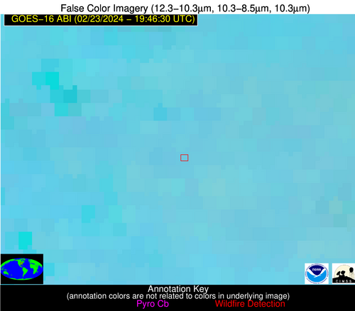
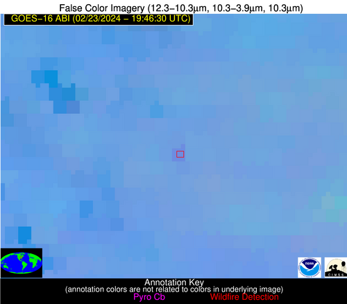
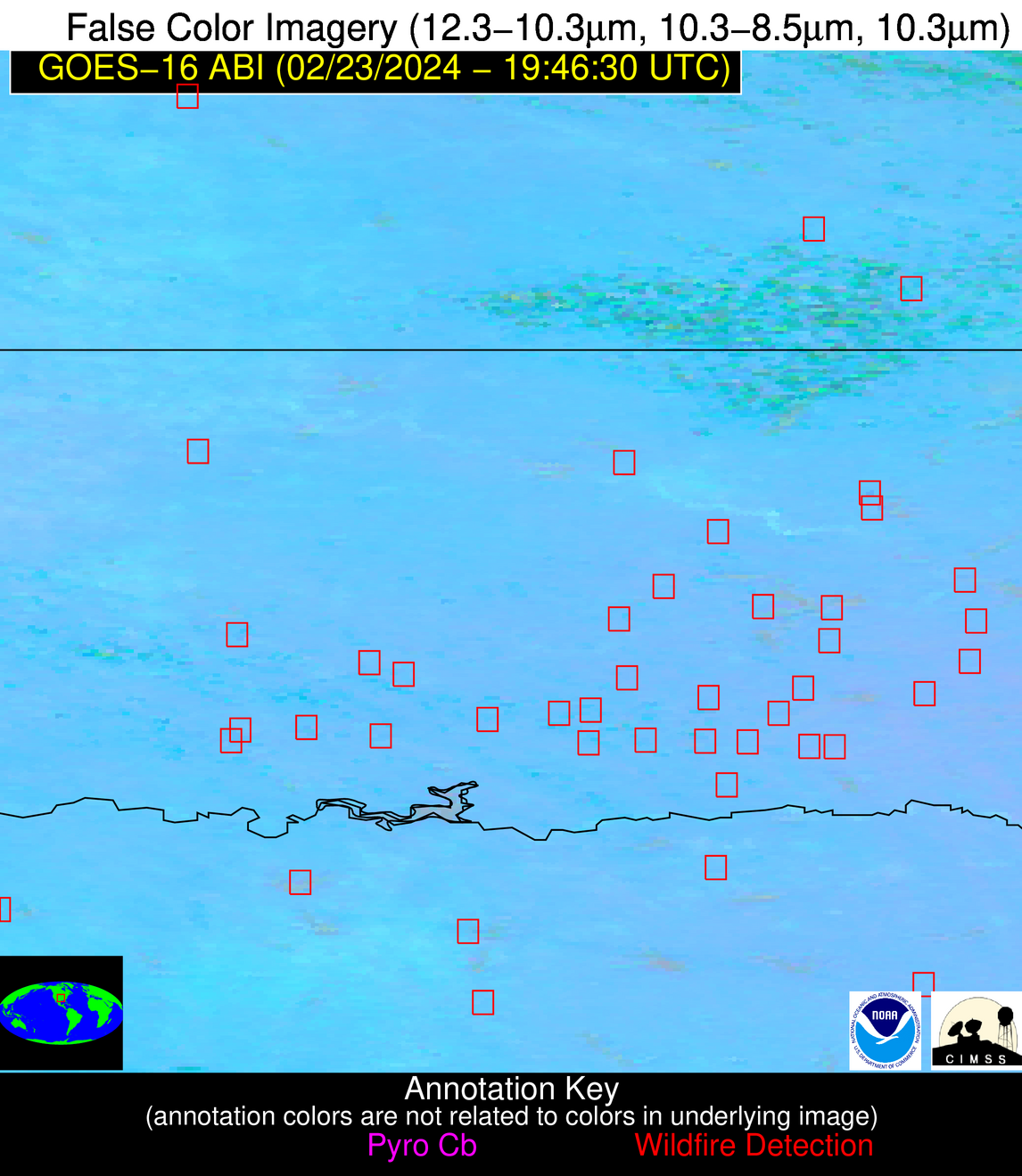
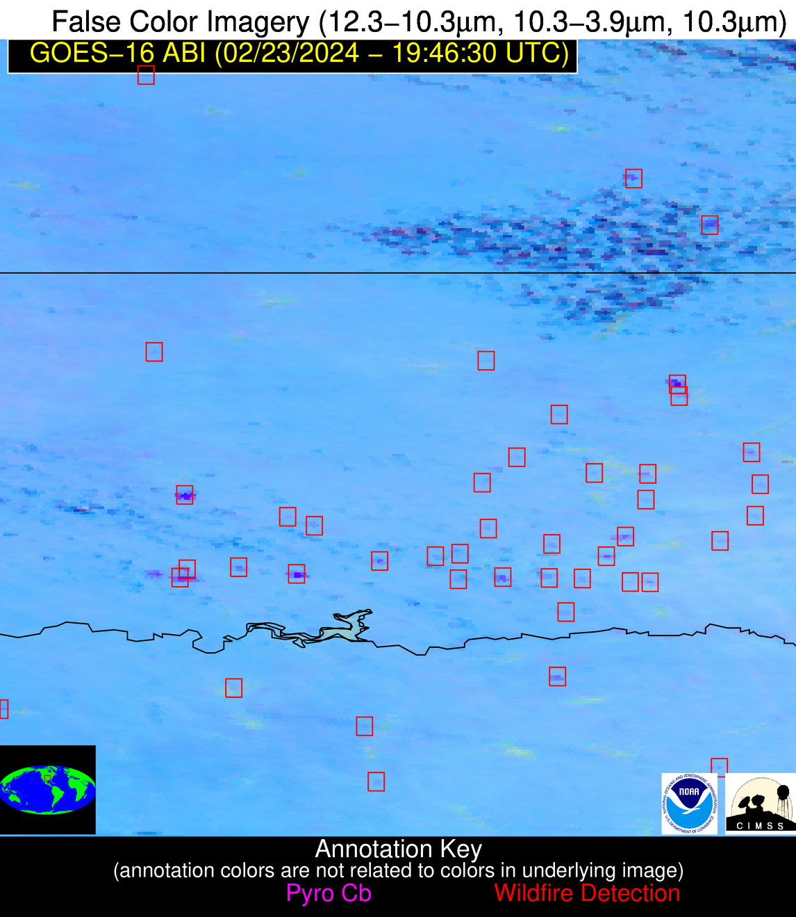
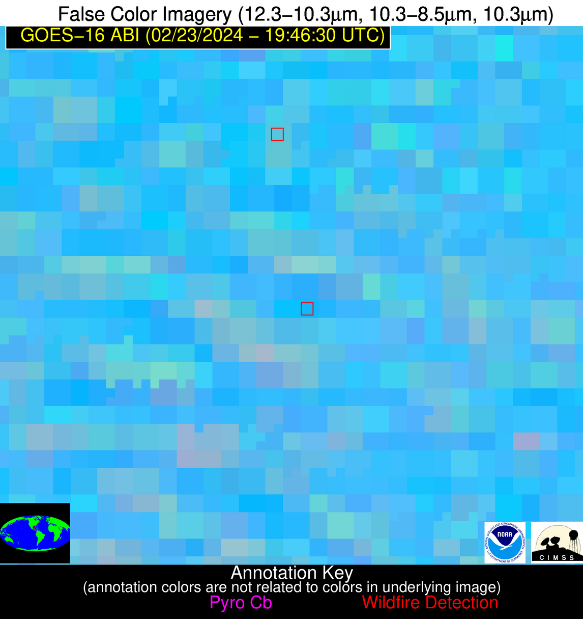
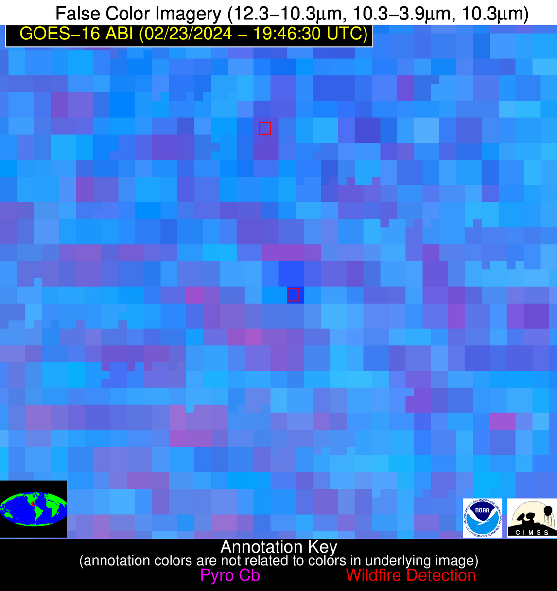
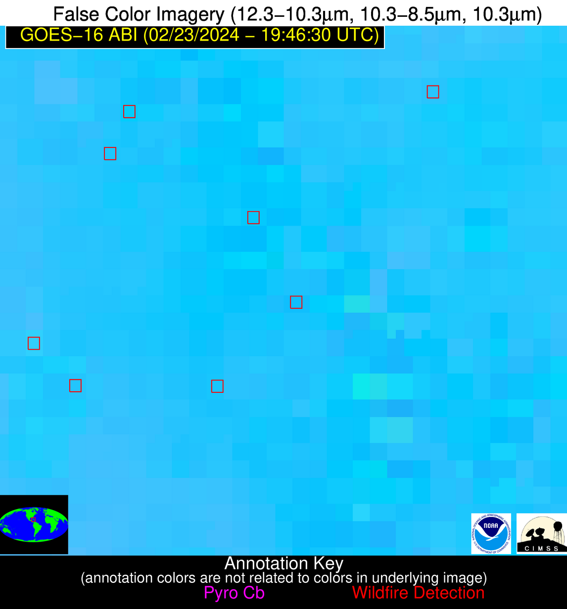
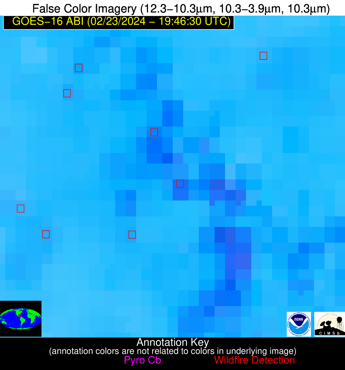
Please consider accessing NGFS detections and satellite imagery through the NOAA/NESDIS Wildland Fire Data Portal: https://fire.data.nesdis.noaa.gov/map/
Wildfire Alert Report
| Date: | 2024-02-23 |
|---|---|
| Time: | 19:46:17 |
| Production Date and Time: | 2024-02-23 19:53:56 UTC |
| Primary Instrument: | GOES-16 ABI |
| Wmo Spacecraft Id: | 152 |
| Location/orbit: | GEO |
| L1 File: | OR_ABI-L1b-RadC-M6C14_G16_s20240541946172_e20240541948545_c20240541949034.nc |
| L1 File(s) - Temporal | OR_ABI-L1b-RadC-M6C14_G16_s20240541941172_e20240541943545_c20240541944046.nc |
| Number Of Thermal Anomaly Alerts: | 12 |
Possible Wildfire
| Basic Information | |
|---|---|
| State/Province(s) | IL |
| Country/Countries | USA |
| County/Locality(s) | De Witt County, IL |
| NWS WFO | Lincoln IL |
| Identification Method | Enhanced Contextual (Clear) |
| Mean Object Date/Time | 2024-02-23 19:46:51UTC |
| Radiative Center (Lat, Lon): | 40.250000°, -89.140000° |
| Nearby Counties (meeting alert criteria): |
|
| Total Radiative Power Anomaly | n/a |
| Total Radiative Power | 7.46 MW |
| Map: | |
| Additional Information | |
| Alert Status | New Feature |
| Type of Event | Nominal Risk |
| Event Priority Ranking | 4 |
| Maximum Observed BT (3.9 um) | 297.85 K |
| Observed - Background BT (3.9 um) | 2.76 K |
| BT Anomaly (3.9 um) | 2.26 K |
| Maximum Observed - Clear RTM BT (3.9 um) | 15.10 K |
| Maximum Observed BTD (3.9-10/11/12 um) | 12.88 K |
| Observed - Background BTD (3.9-10/11/12 um) | 2.66 K |
| BTD Anomaly (3.9-10/11/12 um) | 3.60 K |
| Similar Pixel Count | 25 |
| BT Time Tendency (3.9 um) | 2.50 K |
| Image Interval | 5.00 minutes |
| Fraction of Surrounding LWIR Pixels that are Colder | 0.60 |
| Fraction of Surrounding Red Channel Pixels that are Brighter | 1.00 |
| Maximum Radiative Power | 7.46 MW |
| Maximum Radiative Power Uncertainty | 0.00 MW |
| Total Radiative Power Uncertainty | 0.00 MW |
| Mean Viewing Angle | 49.00° |
| Mean Solar Zenith Angle | 55.10° |
| Mean Glint Angle | 91.10° |
| Water Fraction | 0.00 |
| Total Pixel Area | 6.90 km2 |
| Latest Satellite Imagery: | |
| View all event imagery » | |
Possible Wildfire
| Basic Information | |
|---|---|
| State/Province(s) | KS |
| Country/Countries | USA |
| County/Locality(s) | Saline County, KS |
| NWS WFO | Wichita KS |
| Identification Method | Enhanced Contextual (Clear) |
| Mean Object Date/Time | 2024-02-23 19:46:50UTC |
| Radiative Center (Lat, Lon): | 38.750000°, -97.580000° |
| Nearby Counties (meeting alert criteria): |
|
| Total Radiative Power Anomaly | n/a |
| Total Radiative Power | 12.57 MW |
| Map: | |
| Additional Information | |
| Alert Status | New Feature |
| Type of Event | Nominal Risk |
| Event Priority Ranking | 4 |
| Maximum Observed BT (3.9 um) | 303.47 K |
| Observed - Background BT (3.9 um) | 3.72 K |
| BT Anomaly (3.9 um) | 5.42 K |
| Maximum Observed - Clear RTM BT (3.9 um) | 18.10 K |
| Maximum Observed BTD (3.9-10/11/12 um) | 11.85 K |
| Observed - Background BTD (3.9-10/11/12 um) | 3.41 K |
| BTD Anomaly (3.9-10/11/12 um) | 7.93 K |
| Similar Pixel Count | 24 |
| BT Time Tendency (3.9 um) | 1.80 K |
| Image Interval | 5.00 minutes |
| Fraction of Surrounding LWIR Pixels that are Colder | 0.81 |
| Fraction of Surrounding Red Channel Pixels that are Brighter | 1.00 |
| Maximum Radiative Power | 12.57 MW |
| Maximum Radiative Power Uncertainty | 0.00 MW |
| Total Radiative Power Uncertainty | 0.00 MW |
| Mean Viewing Angle | 50.80° |
| Mean Solar Zenith Angle | 51.10° |
| Mean Glint Angle | 87.90° |
| Water Fraction | 0.00 |
| Total Pixel Area | 7.50 km2 |
| Latest Satellite Imagery: | |
| View all event imagery » | |
Possible Wildfire
| Basic Information | |
|---|---|
| State/Province(s) | OK |
| Country/Countries | USA |
| County/Locality(s) | Wagoner County, OK |
| NWS WFO | Tulsa OK |
| Identification Method | Enhanced Contextual (Cloud) |
| Mean Object Date/Time | 2024-02-23 19:47:20UTC |
| Radiative Center (Lat, Lon): | 36.040000°, -95.360000° |
| Nearby Counties (meeting alert criteria): |
|
| Total Radiative Power Anomaly | n/a |
| Total Radiative Power | 278.83 MW |
| Map: | |
| Additional Information | |
| Alert Status | New Feature |
| Type of Event | Nominal Risk |
| Event Priority Ranking | 4 |
| Maximum Observed BT (3.9 um) | 327.96 K |
| Observed - Background BT (3.9 um) | 28.46 K |
| BT Anomaly (3.9 um) | 30.26 K |
| Maximum Observed - Clear RTM BT (3.9 um) | 40.16 K |
| Maximum Observed BTD (3.9-10/11/12 um) | 34.53 K |
| Observed - Background BTD (3.9-10/11/12 um) | 27.51 K |
| BTD Anomaly (3.9-10/11/12 um) | 37.20 K |
| Similar Pixel Count | 0 |
| BT Time Tendency (3.9 um) | 26.10 K |
| Image Interval | 5.00 minutes |
| Fraction of Surrounding LWIR Pixels that are Colder | 0.98 |
| Fraction of Surrounding Red Channel Pixels that are Brighter | 1.00 |
| Maximum Radiative Power | 189.27 MW |
| Maximum Radiative Power Uncertainty | 0.00 MW |
| Total Radiative Power Uncertainty | 0.00 MW |
| Mean Viewing Angle | 47.20° |
| Mean Solar Zenith Angle | 49.20° |
| Mean Glint Angle | 82.60° |
| Water Fraction | 0.00 |
| Total Pixel Area | 20.40 km2 |
| Latest Satellite Imagery: | |
| View all event imagery » | |
Possible Wildfire
| Basic Information | |
|---|---|
| State/Province(s) | OK |
| Country/Countries | USA |
| County/Locality(s) | Pontotoc County, OK |
| NWS WFO | Norman OK |
| Identification Method | Enhanced Contextual (Clear) |
| Mean Object Date/Time | 2024-02-23 19:47:20UTC |
| Radiative Center (Lat, Lon): | 34.820000°, -96.740000° |
| Nearby Counties (meeting alert criteria): |
|
| Total Radiative Power Anomaly | n/a |
| Total Radiative Power | 27.64 MW |
| Map: | |
| Additional Information | |
| Alert Status | New Feature |
| Type of Event | Nominal Risk |
| Event Priority Ranking | 4 |
| Maximum Observed BT (3.9 um) | 304.28 K |
| Observed - Background BT (3.9 um) | 4.59 K |
| BT Anomaly (3.9 um) | 9.11 K |
| Maximum Observed - Clear RTM BT (3.9 um) | 15.04 K |
| Maximum Observed BTD (3.9-10/11/12 um) | 11.07 K |
| Observed - Background BTD (3.9-10/11/12 um) | 4.22 K |
| BTD Anomaly (3.9-10/11/12 um) | 7.35 K |
| Similar Pixel Count | 8 |
| BT Time Tendency (3.9 um) | 3.60 K |
| Image Interval | 5.00 minutes |
| Fraction of Surrounding LWIR Pixels that are Colder | 0.71 |
| Fraction of Surrounding Red Channel Pixels that are Brighter | 1.00 |
| Maximum Radiative Power | 14.35 MW |
| Maximum Radiative Power Uncertainty | 0.00 MW |
| Total Radiative Power Uncertainty | 0.00 MW |
| Mean Viewing Angle | 46.80° |
| Mean Solar Zenith Angle | 47.60° |
| Mean Glint Angle | 80.40° |
| Water Fraction | 0.00 |
| Total Pixel Area | 13.50 km2 |
| Latest Satellite Imagery: | |
| View all event imagery » | |
Possible Wildfire
| Basic Information | |
|---|---|
| State/Province(s) | TX |
| Country/Countries | USA |
| County/Locality(s) | Lamar County, TX |
| NWS WFO | Fort Worth TX |
| Identification Method | Enhanced Contextual (Clear) |
| Mean Object Date/Time | 2024-02-23 19:47:20UTC |
| Radiative Center (Lat, Lon): | 33.510000°, -95.810000° |
| Nearby Counties (meeting alert criteria): |
|
| Total Radiative Power Anomaly | n/a |
| Total Radiative Power | 95.02 MW |
| Map: | |
| Additional Information | |
| Alert Status | New Feature |
| Type of Event | Nominal Risk |
| Event Priority Ranking | 4 |
| Maximum Observed BT (3.9 um) | 311.51 K |
| Observed - Background BT (3.9 um) | 10.63 K |
| BT Anomaly (3.9 um) | 8.61 K |
| Maximum Observed - Clear RTM BT (3.9 um) | 22.70 K |
| Maximum Observed BTD (3.9-10/11/12 um) | 17.45 K |
| Observed - Background BTD (3.9-10/11/12 um) | 10.61 K |
| BTD Anomaly (3.9-10/11/12 um) | 21.20 K |
| Similar Pixel Count | 4 |
| BT Time Tendency (3.9 um) | 10.40 K |
| Image Interval | 5.00 minutes |
| Fraction of Surrounding LWIR Pixels that are Colder | 0.50 |
| Fraction of Surrounding Red Channel Pixels that are Brighter | 1.00 |
| Maximum Radiative Power | 39.07 MW |
| Maximum Radiative Power Uncertainty | 0.00 MW |
| Total Radiative Power Uncertainty | 0.00 MW |
| Mean Viewing Angle | 45.00° |
| Mean Solar Zenith Angle | 46.70° |
| Mean Glint Angle | 77.70° |
| Water Fraction | 0.00 |
| Total Pixel Area | 19.40 km2 |
| Latest Satellite Imagery: | |
| View all event imagery » | |
Possible Wildfire
| Basic Information | |
|---|---|
| State/Province(s) | TX |
| Country/Countries | USA |
| County/Locality(s) | Wood County, TX |
| NWS WFO | Shreveport LA |
| Identification Method | Enhanced Contextual (Clear) |
| Mean Object Date/Time | 2024-02-23 19:47:20UTC |
| Radiative Center (Lat, Lon): | 32.730000°, -95.200000° |
| Nearby Counties (meeting alert criteria): |
|
| Total Radiative Power Anomaly | n/a |
| Total Radiative Power | 23.86 MW |
| Map: | |
| Additional Information | |
| Alert Status | New Feature |
| Type of Event | Nominal Risk |
| Event Priority Ranking | 4 |
| Maximum Observed BT (3.9 um) | 302.82 K |
| Observed - Background BT (3.9 um) | 3.98 K |
| BT Anomaly (3.9 um) | 7.63 K |
| Maximum Observed - Clear RTM BT (3.9 um) | 13.99 K |
| Maximum Observed BTD (3.9-10/11/12 um) | 9.87 K |
| Observed - Background BTD (3.9-10/11/12 um) | 4.37 K |
| BTD Anomaly (3.9-10/11/12 um) | 13.89 K |
| Similar Pixel Count | 2 |
| BT Time Tendency (3.9 um) | 2.20 K |
| Image Interval | 5.00 minutes |
| Fraction of Surrounding LWIR Pixels that are Colder | 0.17 |
| Fraction of Surrounding Red Channel Pixels that are Brighter | 1.00 |
| Maximum Radiative Power | 13.16 MW |
| Maximum Radiative Power Uncertainty | 0.00 MW |
| Total Radiative Power Uncertainty | 0.00 MW |
| Mean Viewing Angle | 44.00° |
| Mean Solar Zenith Angle | 46.20° |
| Mean Glint Angle | 76.20° |
| Water Fraction | 0.00 |
| Total Pixel Area | 12.60 km2 |
| Latest Satellite Imagery: | |
| View all event imagery » | |
Possible Wildfire
| Basic Information | |
|---|---|
| State/Province(s) | AL |
| Country/Countries | USA |
| County/Locality(s) | Russell County, AL |
| NWS WFO | Birmingham AL |
| Identification Method | Enhanced Contextual (Cloud) |
| Mean Object Date/Time | 2024-02-23 19:47:21UTC |
| Radiative Center (Lat, Lon): | 32.370000°, -85.130000° |
| Nearby Counties (meeting alert criteria): |
|
| Total Radiative Power Anomaly | n/a |
| Total Radiative Power | 40.77 MW |
| Map: | |
| Additional Information | |
| Alert Status | New Feature |
| Type of Event | Nominal Risk |
| Event Priority Ranking | 4 |
| Maximum Observed BT (3.9 um) | 309.85 K |
| Observed - Background BT (3.9 um) | 13.22 K |
| BT Anomaly (3.9 um) | 12.15 K |
| Maximum Observed - Clear RTM BT (3.9 um) | 25.22 K |
| Maximum Observed BTD (3.9-10/11/12 um) | 20.32 K |
| Observed - Background BTD (3.9-10/11/12 um) | 12.84 K |
| BTD Anomaly (3.9-10/11/12 um) | 11.93 K |
| Similar Pixel Count | 0 |
| BT Time Tendency (3.9 um) | 11.50 K |
| Image Interval | 5.00 minutes |
| Fraction of Surrounding LWIR Pixels that are Colder | 0.69 |
| Fraction of Surrounding Red Channel Pixels that are Brighter | 0.45 |
| Maximum Radiative Power | 40.77 MW |
| Maximum Radiative Power Uncertainty | 0.00 MW |
| Total Radiative Power Uncertainty | 0.00 MW |
| Mean Viewing Angle | 39.40° |
| Mean Solar Zenith Angle | 50.30° |
| Mean Glint Angle | 77.60° |
| Water Fraction | 0.00 |
| Total Pixel Area | 5.60 km2 |
| Latest Satellite Imagery: | |
| View all event imagery » | |
Possible Wildfire
| Basic Information | |
|---|---|
| State/Province(s) | TX |
| Country/Countries | USA |
| County/Locality(s) | Johnson County, TX |
| NWS WFO | Fort Worth TX |
| Identification Method | Enhanced Contextual (Clear) |
| Mean Object Date/Time | 2024-02-23 19:47:20UTC |
| Radiative Center (Lat, Lon): | 32.360000°, -97.610000° |
| Nearby Counties (meeting alert criteria): |
|
| Total Radiative Power Anomaly | n/a |
| Total Radiative Power | 9.27 MW |
| Map: | |
| Additional Information | |
| Alert Status | New Feature |
| Type of Event | Nominal Risk |
| Event Priority Ranking | 4 |
| Maximum Observed BT (3.9 um) | 304.14 K |
| Observed - Background BT (3.9 um) | 2.84 K |
| BT Anomaly (3.9 um) | 2.72 K |
| Maximum Observed - Clear RTM BT (3.9 um) | 12.54 K |
| Maximum Observed BTD (3.9-10/11/12 um) | 10.17 K |
| Observed - Background BTD (3.9-10/11/12 um) | 2.80 K |
| BTD Anomaly (3.9-10/11/12 um) | 5.56 K |
| Similar Pixel Count | 19 |
| BT Time Tendency (3.9 um) | 1.40 K |
| Image Interval | 5.00 minutes |
| Fraction of Surrounding LWIR Pixels that are Colder | 0.41 |
| Fraction of Surrounding Red Channel Pixels that are Brighter | 1.00 |
| Maximum Radiative Power | 9.27 MW |
| Maximum Radiative Power Uncertainty | 0.00 MW |
| Total Radiative Power Uncertainty | 0.00 MW |
| Mean Viewing Angle | 45.00° |
| Mean Solar Zenith Angle | 45.10° |
| Mean Glint Angle | 75.80° |
| Water Fraction | 0.00 |
| Total Pixel Area | 6.50 km2 |
| Latest Satellite Imagery: | |
| View all event imagery » | |
Possible Wildfire
| Basic Information | |
|---|---|
| State/Province(s) | AL |
| Country/Countries | USA |
| County/Locality(s) | Houston County, AL |
| NWS WFO | Tallahassee FL |
| Identification Method | Enhanced Contextual (Clear) |
| Mean Object Date/Time | 2024-02-23 19:47:21UTC |
| Radiative Center (Lat, Lon): | 31.160000°, -85.090000° |
| Nearby Counties (meeting alert criteria): |
|
| Total Radiative Power Anomaly | n/a |
| Total Radiative Power | 53.10 MW |
| Map: | |
| Additional Information | |
| Alert Status | New Feature |
| Type of Event | Nominal Risk |
| Event Priority Ranking | 4 |
| Maximum Observed BT (3.9 um) | 309.33 K |
| Observed - Background BT (3.9 um) | 9.93 K |
| BT Anomaly (3.9 um) | 6.18 K |
| Maximum Observed - Clear RTM BT (3.9 um) | 19.23 K |
| Maximum Observed BTD (3.9-10/11/12 um) | 23.82 K |
| Observed - Background BTD (3.9-10/11/12 um) | 10.04 K |
| BTD Anomaly (3.9-10/11/12 um) | 5.26 K |
| Similar Pixel Count | 15 |
| BT Time Tendency (3.9 um) | 10.10 K |
| Image Interval | 5.00 minutes |
| Fraction of Surrounding LWIR Pixels that are Colder | 0.60 |
| Fraction of Surrounding Red Channel Pixels that are Brighter | 0.89 |
| Maximum Radiative Power | 53.10 MW |
| Maximum Radiative Power Uncertainty | 0.00 MW |
| Total Radiative Power Uncertainty | 0.00 MW |
| Mean Viewing Angle | 38.00° |
| Mean Solar Zenith Angle | 49.40° |
| Mean Glint Angle | 75.30° |
| Water Fraction | 0.00 |
| Total Pixel Area | 11.00 km2 |
| Latest Satellite Imagery: | |
| View all event imagery » | |
Possible Wildfire
| Basic Information | |
|---|---|
| State/Province(s) | TX |
| Country/Countries | USA |
| County/Locality(s) | Val Verde County, TX |
| NWS WFO | Austin/San Antonio TX |
| Identification Method | Enhanced Contextual (Clear) |
| Mean Object Date/Time | 2024-02-23 19:47:49UTC |
| Radiative Center (Lat, Lon): | 29.870000°, -101.280000° |
| Nearby Counties (meeting alert criteria): |
|
| Total Radiative Power Anomaly | n/a |
| Total Radiative Power | 7.93 MW |
| Map: | |
| Additional Information | |
| Alert Status | New Feature |
| Type of Event | Nominal Risk |
| Event Priority Ranking | 4 |
| Maximum Observed BT (3.9 um) | 312.76 K |
| Observed - Background BT (3.9 um) | 2.97 K |
| BT Anomaly (3.9 um) | 3.38 K |
| Maximum Observed - Clear RTM BT (3.9 um) | 13.52 K |
| Maximum Observed BTD (3.9-10/11/12 um) | 11.99 K |
| Observed - Background BTD (3.9-10/11/12 um) | 1.95 K |
| BTD Anomaly (3.9-10/11/12 um) | 7.49 K |
| Similar Pixel Count | 25 |
| BT Time Tendency (3.9 um) | 1.00 K |
| Image Interval | 5.00 minutes |
| Fraction of Surrounding LWIR Pixels that are Colder | 0.95 |
| Fraction of Surrounding Red Channel Pixels that are Brighter | 1.00 |
| Maximum Radiative Power | 7.93 MW |
| Maximum Radiative Power Uncertainty | 0.00 MW |
| Total Radiative Power Uncertainty | 0.00 MW |
| Mean Viewing Angle | 45.20° |
| Mean Solar Zenith Angle | 41.70° |
| Mean Glint Angle | 72.10° |
| Water Fraction | 0.00 |
| Total Pixel Area | 6.60 km2 |
| Latest Satellite Imagery: | |
| View all event imagery » | |
Possible Wildfire
| Basic Information | |
|---|---|
| State/Province(s) | Unknown |
| Country/Countries | Cuba |
| County/Locality(s) | Cuba |
| NWS WFO | N/A |
| Identification Method | Enhanced Contextual (Cloud) |
| Mean Object Date/Time | 2024-02-23 19:48:22UTC |
| Radiative Center (Lat, Lon): | 22.540000°, -80.740000° |
| Nearby Counties (meeting alert criteria): |
|
| Total Radiative Power Anomaly | n/a |
| Total Radiative Power | 55.53 MW |
| Map: | |
| Additional Information | |
| Alert Status | New Feature |
| Type of Event | Nominal Risk |
| Event Priority Ranking | 4 |
| Maximum Observed BT (3.9 um) | 320.71 K |
| Observed - Background BT (3.9 um) | 16.95 K |
| BT Anomaly (3.9 um) | 8.71 K |
| Maximum Observed - Clear RTM BT (3.9 um) | 20.58 K |
| Maximum Observed BTD (3.9-10/11/12 um) | 26.40 K |
| Observed - Background BTD (3.9-10/11/12 um) | 15.60 K |
| BTD Anomaly (3.9-10/11/12 um) | 8.04 K |
| Similar Pixel Count | 0 |
| BT Time Tendency (3.9 um) | 11.30 K |
| Image Interval | 5.00 minutes |
| Fraction of Surrounding LWIR Pixels that are Colder | 0.99 |
| Fraction of Surrounding Red Channel Pixels that are Brighter | 0.99 |
| Maximum Radiative Power | 55.53 MW |
| Maximum Radiative Power Uncertainty | 0.00 MW |
| Total Radiative Power Uncertainty | 0.00 MW |
| Mean Viewing Angle | 27.20° |
| Mean Solar Zenith Angle | 45.60° |
| Mean Glint Angle | 62.10° |
| Water Fraction | 0.00 |
| Total Pixel Area | 4.70 km2 |
| Latest Satellite Imagery: | |
| View all event imagery » | |
Possible Wildfire
| Basic Information | |
|---|---|
| State/Province(s) | Unknown |
| Country/Countries | Cuba |
| County/Locality(s) | Cuba |
| NWS WFO | N/A |
| Identification Method | Enhanced Contextual (Clear) |
| Mean Object Date/Time | 2024-02-23 19:48:22UTC |
| Radiative Center (Lat, Lon): | 21.200000°, -78.080000° |
| Nearby Counties (meeting alert criteria): |
|
| Total Radiative Power Anomaly | n/a |
| Total Radiative Power | 27.66 MW |
| Map: | |
| Additional Information | |
| Alert Status | New Feature |
| Type of Event | Nominal Risk |
| Event Priority Ranking | 4 |
| Maximum Observed BT (3.9 um) | 316.01 K |
| Observed - Background BT (3.9 um) | 9.67 K |
| BT Anomaly (3.9 um) | 5.26 K |
| Maximum Observed - Clear RTM BT (3.9 um) | 14.44 K |
| Maximum Observed BTD (3.9-10/11/12 um) | 18.97 K |
| Observed - Background BTD (3.9-10/11/12 um) | 9.62 K |
| BTD Anomaly (3.9-10/11/12 um) | 5.66 K |
| Similar Pixel Count | 13 |
| BT Time Tendency (3.9 um) | 5.20 K |
| Image Interval | 5.00 minutes |
| Fraction of Surrounding LWIR Pixels that are Colder | 0.61 |
| Fraction of Surrounding Red Channel Pixels that are Brighter | 1.00 |
| Maximum Radiative Power | 27.66 MW |
| Maximum Radiative Power Uncertainty | 0.00 MW |
| Total Radiative Power Uncertainty | 0.00 MW |
| Mean Viewing Angle | 25.20° |
| Mean Solar Zenith Angle | 46.60° |
| Mean Glint Angle | 62.40° |
| Water Fraction | 0.00 |
| Total Pixel Area | 4.60 km2 |
| Latest Satellite Imagery: | |
| View all event imagery » | |
