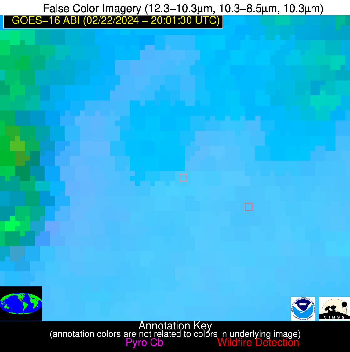
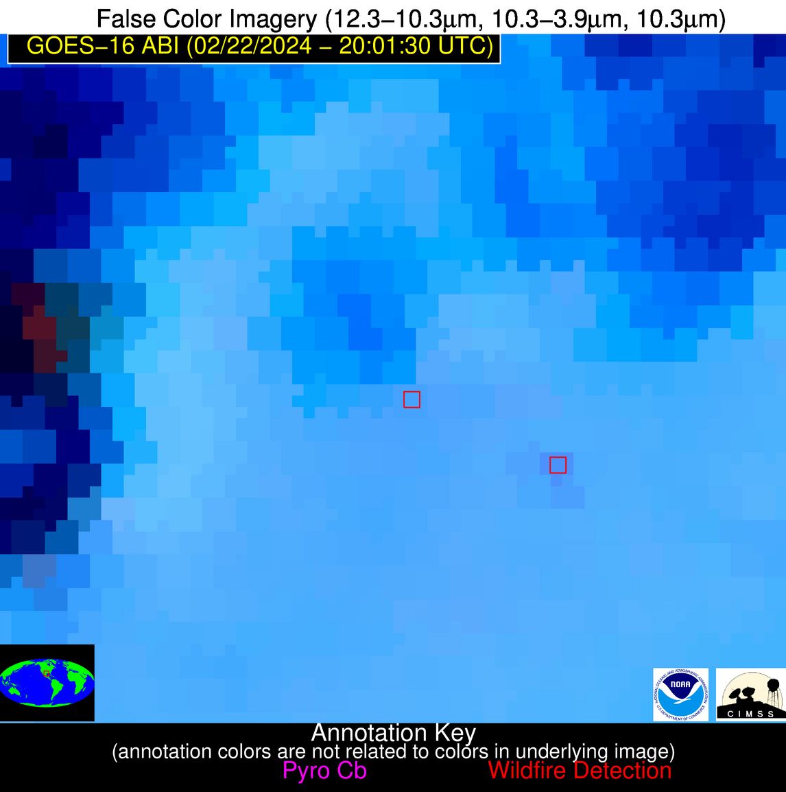
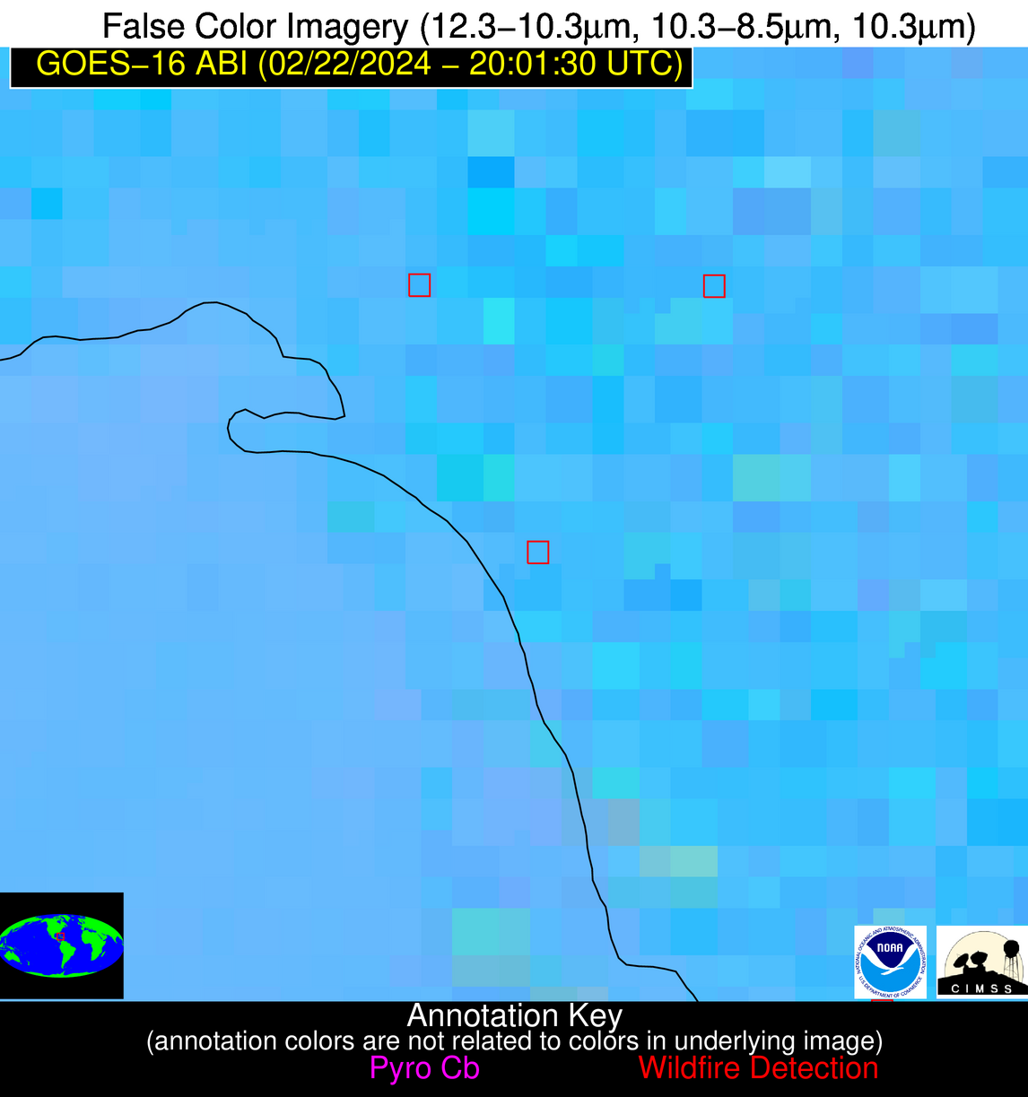
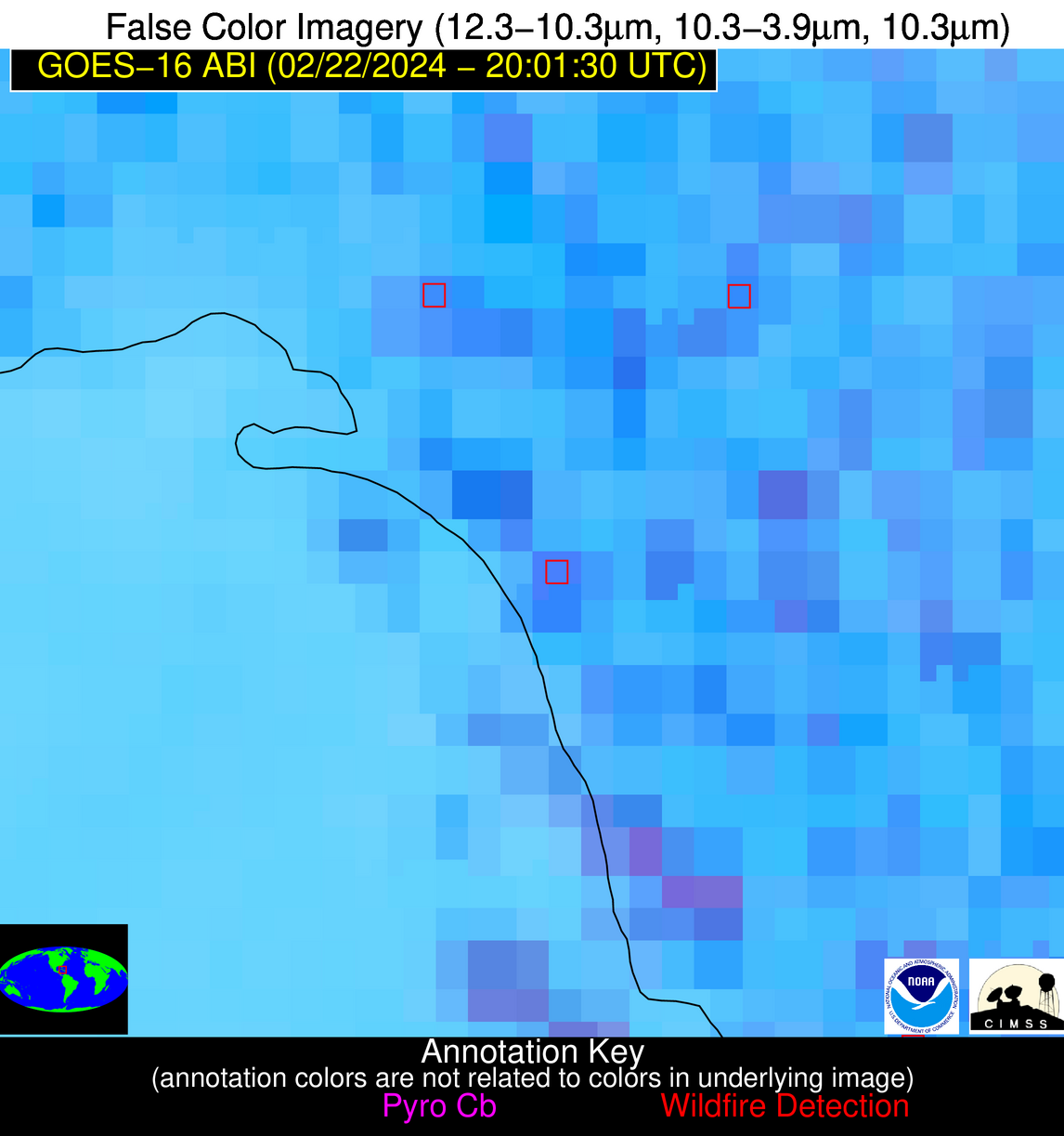
Wildfire Alert Report
| Date: | 2024-02-22 |
|---|---|
| Time: | 20:01:17 |
| Production Date and Time: | 2024-02-22 20:10:25 UTC |
| Primary Instrument: | GOES-16 ABI |
| Wmo Spacecraft Id: | 152 |
| Location/orbit: | GEO |
| L1 File: | OR_ABI-L1b-RadC-M6C14_G16_s20240532001171_e20240532003544_c20240532004007.nc |
| L1 File(s) - Temporal | OR_ABI-L1b-RadC-M6C14_G16_s20240531956171_e20240531958544_c20240531959024.nc |
| Number Of Thermal Anomaly Alerts: | 8 |
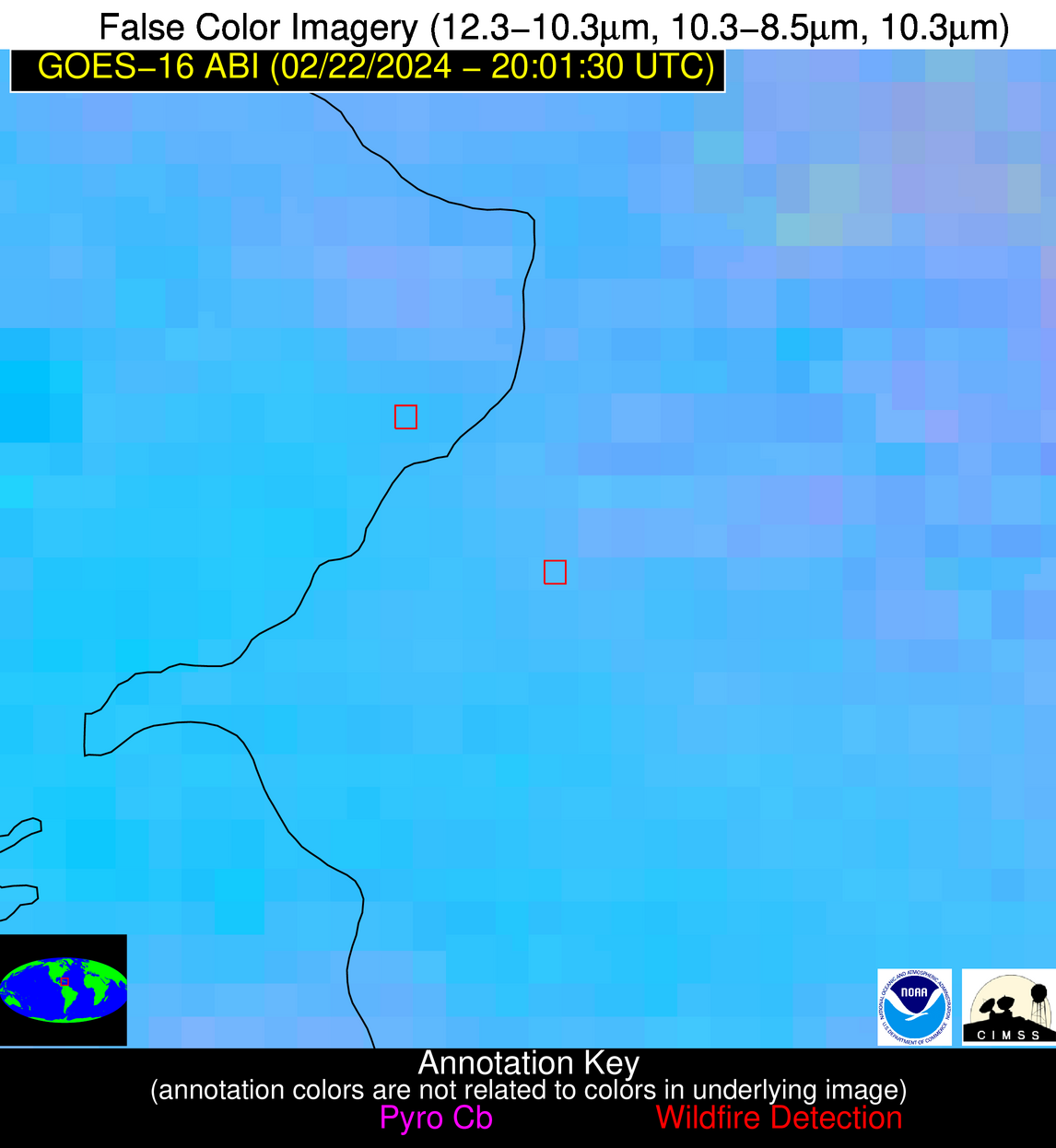
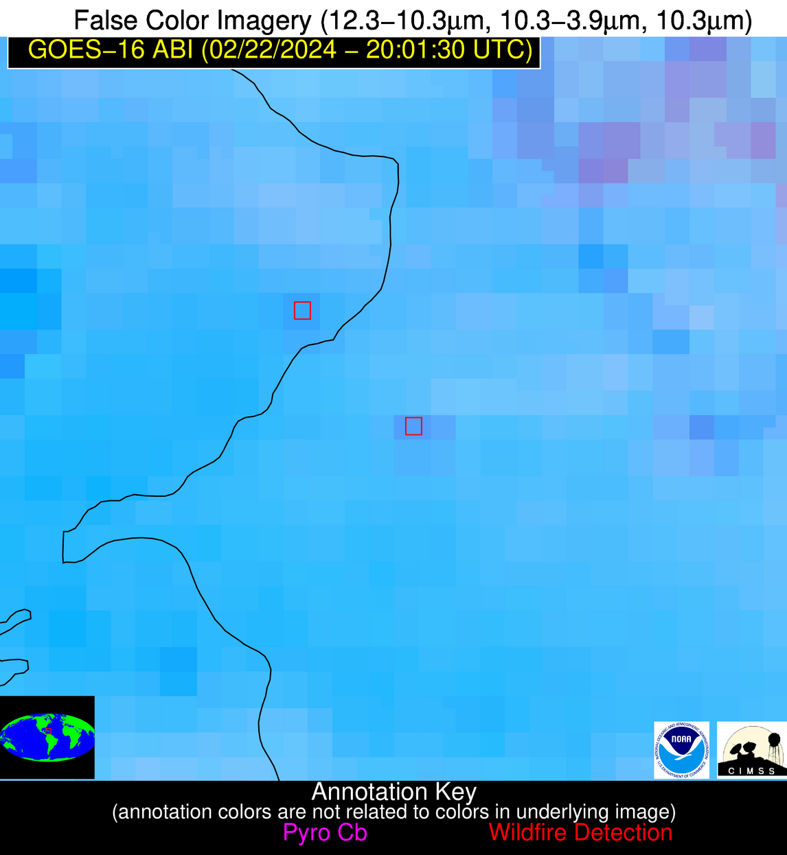
Possible Wildfire
| Basic Information | |
|---|---|
| State/Province(s) | MO |
| Country/Countries | USA |
| County/Locality(s) | Livingston County, MO |
| NWS WFO | Kansas City/Pleasant Hill MO |
| Identification Method | Enhanced Contextual (Clear) |
| Mean Object Date/Time | 2024-02-22 20:01:50UTC |
| Radiative Center (Lat, Lon): | 39.770000°, -93.650000° |
| Nearby Counties (meeting alert criteria): |
|
| Total Radiative Power Anomaly | n/a |
| Total Radiative Power | 6.75 MW |
| Map: | |
| Additional Information | |
| Alert Status | New Feature |
| Type of Event | Nominal Risk |
| Event Priority Ranking | 4 |
| Maximum Observed BT (3.9 um) | 301.61 K |
| Observed - Background BT (3.9 um) | 3.76 K |
| BT Anomaly (3.9 um) | 4.57 K |
| Maximum Observed - Clear RTM BT (3.9 um) | 16.69 K |
| Maximum Observed BTD (3.9-10/11/12 um) | 12.08 K |
| Observed - Background BTD (3.9-10/11/12 um) | 2.65 K |
| BTD Anomaly (3.9-10/11/12 um) | 4.91 K |
| Similar Pixel Count | 25 |
| BT Time Tendency (3.9 um) | 0.50 K |
| Image Interval | 5.00 minutes |
| Fraction of Surrounding LWIR Pixels that are Colder | 0.95 |
| Fraction of Surrounding Red Channel Pixels that are Brighter | 1.00 |
| Maximum Radiative Power | 6.75 MW |
| Maximum Radiative Power Uncertainty | 0.00 MW |
| Total Radiative Power Uncertainty | 0.00 MW |
| Mean Viewing Angle | 50.10° |
| Mean Solar Zenith Angle | 54.80° |
| Mean Glint Angle | 88.90° |
| Water Fraction | 0.00 |
| Total Pixel Area | 7.20 km2 |
| Latest Satellite Imagery: | |
| View all event imagery » | |
Possible Wildfire
| Basic Information | |
|---|---|
| State/Province(s) | KS |
| Country/Countries | USA |
| County/Locality(s) | Gove County, KS |
| NWS WFO | Goodland KS |
| Identification Method | Enhanced Contextual (Clear) |
| Mean Object Date/Time | 2024-02-22 20:01:50UTC |
| Radiative Center (Lat, Lon): | 39.100000°, -100.730000° |
| Nearby Counties (meeting alert criteria): |
|
| Total Radiative Power Anomaly | n/a |
| Total Radiative Power | 14.20 MW |
| Map: | |
| Additional Information | |
| Alert Status | New Feature |
| Type of Event | Nominal Risk |
| Event Priority Ranking | 4 |
| Maximum Observed BT (3.9 um) | 303.65 K |
| Observed - Background BT (3.9 um) | 4.44 K |
| BT Anomaly (3.9 um) | 4.83 K |
| Maximum Observed - Clear RTM BT (3.9 um) | 19.58 K |
| Maximum Observed BTD (3.9-10/11/12 um) | 14.78 K |
| Observed - Background BTD (3.9-10/11/12 um) | 3.70 K |
| BTD Anomaly (3.9-10/11/12 um) | 4.92 K |
| Similar Pixel Count | 23 |
| BT Time Tendency (3.9 um) | 2.10 K |
| Image Interval | 5.00 minutes |
| Fraction of Surrounding LWIR Pixels that are Colder | 0.94 |
| Fraction of Surrounding Red Channel Pixels that are Brighter | 1.00 |
| Maximum Radiative Power | 14.20 MW |
| Maximum Radiative Power Uncertainty | 0.00 MW |
| Total Radiative Power Uncertainty | 0.00 MW |
| Mean Viewing Angle | 52.70° |
| Mean Solar Zenith Angle | 51.90° |
| Mean Glint Angle | 87.80° |
| Water Fraction | 0.00 |
| Total Pixel Area | 8.10 km2 |
| Latest Satellite Imagery: | |
| View all event imagery » | |
Possible Wildfire
| Basic Information | |
|---|---|
| State/Province(s) | SC |
| Country/Countries | USA |
| County/Locality(s) | Colleton County, SC |
| NWS WFO | Charleston SC |
| Identification Method | Enhanced Contextual (Clear) |
| Mean Object Date/Time | 2024-02-22 20:02:22UTC |
| Radiative Center (Lat, Lon): | 32.720000°, -80.740000° |
| Nearby Counties (meeting alert criteria): |
|
| Total Radiative Power Anomaly | n/a |
| Total Radiative Power | 27.94 MW |
| Map: | |
| Additional Information | |
| Alert Status | New Feature |
| Type of Event | Nominal Risk |
| Event Priority Ranking | 4 |
| Maximum Observed BT (3.9 um) | 304.83 K |
| Observed - Background BT (3.9 um) | 11.51 K |
| BT Anomaly (3.9 um) | 11.99 K |
| Maximum Observed - Clear RTM BT (3.9 um) | 17.11 K |
| Maximum Observed BTD (3.9-10/11/12 um) | 15.75 K |
| Observed - Background BTD (3.9-10/11/12 um) | 10.65 K |
| BTD Anomaly (3.9-10/11/12 um) | 18.97 K |
| Similar Pixel Count | 1 |
| BT Time Tendency (3.9 um) | 5.30 K |
| Image Interval | 5.00 minutes |
| Fraction of Surrounding LWIR Pixels that are Colder | 0.87 |
| Fraction of Surrounding Red Channel Pixels that are Brighter | 0.88 |
| Maximum Radiative Power | 27.94 MW |
| Maximum Radiative Power Uncertainty | 0.00 MW |
| Total Radiative Power Uncertainty | 0.00 MW |
| Mean Viewing Angle | 38.70° |
| Mean Solar Zenith Angle | 55.30° |
| Mean Glint Angle | 81.40° |
| Water Fraction | 0.00 |
| Total Pixel Area | 5.50 km2 |
| Latest Satellite Imagery: | |
| View all event imagery » | |
Possible Wildfire
| Basic Information | |
|---|---|
| State/Province(s) | GA |
| Country/Countries | USA |
| County/Locality(s) | Bulloch County, GA |
| NWS WFO | Charleston SC |
| Identification Method | Enhanced Contextual (Clear) |
| Mean Object Date/Time | 2024-02-22 20:02:22UTC |
| Radiative Center (Lat, Lon): | 32.350000°, -81.780000° |
| Nearby Counties (meeting alert criteria): |
|
| Total Radiative Power Anomaly | n/a |
| Total Radiative Power | 15.88 MW |
| Map: | |
| Additional Information | |
| Alert Status | New Feature |
| Type of Event | Nominal Risk |
| Event Priority Ranking | 4 |
| Maximum Observed BT (3.9 um) | 300.17 K |
| Observed - Background BT (3.9 um) | 3.94 K |
| BT Anomaly (3.9 um) | 4.10 K |
| Maximum Observed - Clear RTM BT (3.9 um) | 12.23 K |
| Maximum Observed BTD (3.9-10/11/12 um) | 9.13 K |
| Observed - Background BTD (3.9-10/11/12 um) | 3.48 K |
| BTD Anomaly (3.9-10/11/12 um) | 5.46 K |
| Similar Pixel Count | 17 |
| BT Time Tendency (3.9 um) | 3.70 K |
| Image Interval | 5.00 minutes |
| Fraction of Surrounding LWIR Pixels that are Colder | 0.82 |
| Fraction of Surrounding Red Channel Pixels that are Brighter | 0.98 |
| Maximum Radiative Power | 8.36 MW |
| Maximum Radiative Power Uncertainty | 0.00 MW |
| Total Radiative Power Uncertainty | 0.00 MW |
| Mean Viewing Angle | 38.50° |
| Mean Solar Zenith Angle | 54.50° |
| Mean Glint Angle | 80.00° |
| Water Fraction | 0.00 |
| Total Pixel Area | 11.00 km2 |
| Latest Satellite Imagery: | |
| View all event imagery » | |
Possible Wildfire
| Basic Information | |
|---|---|
| State/Province(s) | GA |
| Country/Countries | USA |
| County/Locality(s) | Terrell County, GA |
| NWS WFO | Tallahassee FL |
| Identification Method | Enhanced Contextual (Clear) |
| Mean Object Date/Time | 2024-02-22 20:02:21UTC |
| Radiative Center (Lat, Lon): | 31.820000°, -84.410000° |
| Nearby Counties (meeting alert criteria): |
|
| Total Radiative Power Anomaly | n/a |
| Total Radiative Power | 11.26 MW |
| Map: | |
| Additional Information | |
| Alert Status | New Feature |
| Type of Event | Nominal Risk |
| Event Priority Ranking | 4 |
| Maximum Observed BT (3.9 um) | 301.69 K |
| Observed - Background BT (3.9 um) | 3.93 K |
| BT Anomaly (3.9 um) | 5.84 K |
| Maximum Observed - Clear RTM BT (3.9 um) | 12.52 K |
| Maximum Observed BTD (3.9-10/11/12 um) | 9.65 K |
| Observed - Background BTD (3.9-10/11/12 um) | 4.26 K |
| BTD Anomaly (3.9-10/11/12 um) | 9.47 K |
| Similar Pixel Count | 2 |
| BT Time Tendency (3.9 um) | 3.70 K |
| Image Interval | 5.00 minutes |
| Fraction of Surrounding LWIR Pixels that are Colder | 0.26 |
| Fraction of Surrounding Red Channel Pixels that are Brighter | 1.00 |
| Maximum Radiative Power | 11.26 MW |
| Maximum Radiative Power Uncertainty | 0.00 MW |
| Total Radiative Power Uncertainty | 0.00 MW |
| Mean Viewing Angle | 38.60° |
| Mean Solar Zenith Angle | 52.60° |
| Mean Glint Angle | 77.30° |
| Water Fraction | 0.00 |
| Total Pixel Area | 5.50 km2 |
| Latest Satellite Imagery: | |
| View all event imagery » | |
Possible Wildfire
| Basic Information | |
|---|---|
| State/Province(s) | TX |
| Country/Countries | USA |
| County/Locality(s) | Karnes County, TX |
| NWS WFO | Austin/San Antonio TX |
| Identification Method | Enhanced Contextual (Clear) |
| Mean Object Date/Time | 2024-02-22 20:02:50UTC |
| Radiative Center (Lat, Lon): | 28.740000°, -97.980000° |
| Nearby Counties (meeting alert criteria): |
|
| Total Radiative Power Anomaly | n/a |
| Total Radiative Power | 13.01 MW |
| Map: | |
| Additional Information | |
| Alert Status | New Feature |
| Type of Event | Oil/gas |
| Event Priority Ranking | 5 |
| Maximum Observed BT (3.9 um) | 311.94 K |
| Observed - Background BT (3.9 um) | 3.34 K |
| BT Anomaly (3.9 um) | 4.24 K |
| Maximum Observed - Clear RTM BT (3.9 um) | 15.73 K |
| Maximum Observed BTD (3.9-10/11/12 um) | 10.82 K |
| Observed - Background BTD (3.9-10/11/12 um) | 1.58 K |
| BTD Anomaly (3.9-10/11/12 um) | 2.84 K |
| Similar Pixel Count | 6 |
| BT Time Tendency (3.9 um) | 0.60 K |
| Image Interval | 5.00 minutes |
| Fraction of Surrounding LWIR Pixels that are Colder | 1.00 |
| Fraction of Surrounding Red Channel Pixels that are Brighter | 0.95 |
| Maximum Radiative Power | 13.01 MW |
| Maximum Radiative Power Uncertainty | 0.00 MW |
| Total Radiative Power Uncertainty | 0.00 MW |
| Mean Viewing Angle | 42.00° |
| Mean Solar Zenith Angle | 43.30° |
| Mean Glint Angle | 68.00° |
| Water Fraction | 0.00 |
| Total Pixel Area | 6.10 km2 |
| Latest Satellite Imagery: | |
| View all event imagery » | |
Possible Wildfire
| Basic Information | |
|---|---|
| State/Province(s) | Unknown |
| Country/Countries | Cuba |
| County/Locality(s) | Cuba |
| NWS WFO | N/A |
| Identification Method | Enhanced Contextual (Clear) |
| Mean Object Date/Time | 2024-02-22 20:03:22UTC |
| Radiative Center (Lat, Lon): | 21.510000°, -78.580000° |
| Nearby Counties (meeting alert criteria): |
|
| Total Radiative Power Anomaly | n/a |
| Total Radiative Power | 26.37 MW |
| Map: | |
| Additional Information | |
| Alert Status | New Feature |
| Type of Event | Nominal Risk |
| Event Priority Ranking | 4 |
| Maximum Observed BT (3.9 um) | 310.36 K |
| Observed - Background BT (3.9 um) | 8.50 K |
| BT Anomaly (3.9 um) | 3.95 K |
| Maximum Observed - Clear RTM BT (3.9 um) | 11.15 K |
| Maximum Observed BTD (3.9-10/11/12 um) | 15.62 K |
| Observed - Background BTD (3.9-10/11/12 um) | 7.73 K |
| BTD Anomaly (3.9-10/11/12 um) | 4.00 K |
| Similar Pixel Count | 7 |
| BT Time Tendency (3.9 um) | 5.90 K |
| Image Interval | 5.00 minutes |
| Fraction of Surrounding LWIR Pixels that are Colder | 0.92 |
| Fraction of Surrounding Red Channel Pixels that are Brighter | 1.00 |
| Maximum Radiative Power | 26.37 MW |
| Maximum Radiative Power Uncertainty | 0.00 MW |
| Total Radiative Power Uncertainty | 0.00 MW |
| Mean Viewing Angle | 25.60° |
| Mean Solar Zenith Angle | 49.40° |
| Mean Glint Angle | 64.20° |
| Water Fraction | 0.00 |
| Total Pixel Area | 4.60 km2 |
| Latest Satellite Imagery: | |
| View all event imagery » | |
Possible Wildfire
| Basic Information | |
|---|---|
| State/Province(s) | Unknown |
| Country/Countries | Dominican Republic |
| County/Locality(s) | Dominican Republic |
| NWS WFO | N/A |
| Identification Method | Enhanced Contextual (Clear) |
| Mean Object Date/Time | 2024-02-22 20:03:53UTC |
| Radiative Center (Lat, Lon): | 19.040000°, -71.620000° |
| Nearby Counties (meeting alert criteria): |
|
| Total Radiative Power Anomaly | n/a |
| Total Radiative Power | 12.50 MW |
| Map: | |
| Additional Information | |
| Alert Status | New Feature |
| Type of Event | Nominal Risk |
| Event Priority Ranking | 4 |
| Maximum Observed BT (3.9 um) | 310.75 K |
| Observed - Background BT (3.9 um) | 2.93 K |
| BT Anomaly (3.9 um) | 1.75 K |
| Maximum Observed - Clear RTM BT (3.9 um) | 11.19 K |
| Maximum Observed BTD (3.9-10/11/12 um) | 11.03 K |
| Observed - Background BTD (3.9-10/11/12 um) | 3.54 K |
| BTD Anomaly (3.9-10/11/12 um) | 5.15 K |
| Similar Pixel Count | 6 |
| BT Time Tendency (3.9 um) | 1.80 K |
| Image Interval | 5.00 minutes |
| Fraction of Surrounding LWIR Pixels that are Colder | 0.39 |
| Fraction of Surrounding Red Channel Pixels that are Brighter | 1.00 |
| Maximum Radiative Power | 12.50 MW |
| Maximum Radiative Power Uncertainty | 0.00 MW |
| Total Radiative Power Uncertainty | 0.00 MW |
| Mean Viewing Angle | 22.80° |
| Mean Solar Zenith Angle | 53.60° |
| Mean Glint Angle | 69.80° |
| Water Fraction | 0.00 |
| Total Pixel Area | 4.50 km2 |
| Latest Satellite Imagery: | |
| View all event imagery » | |
