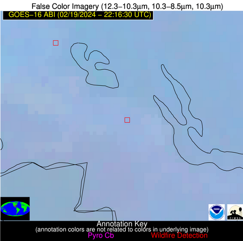
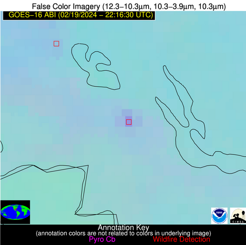
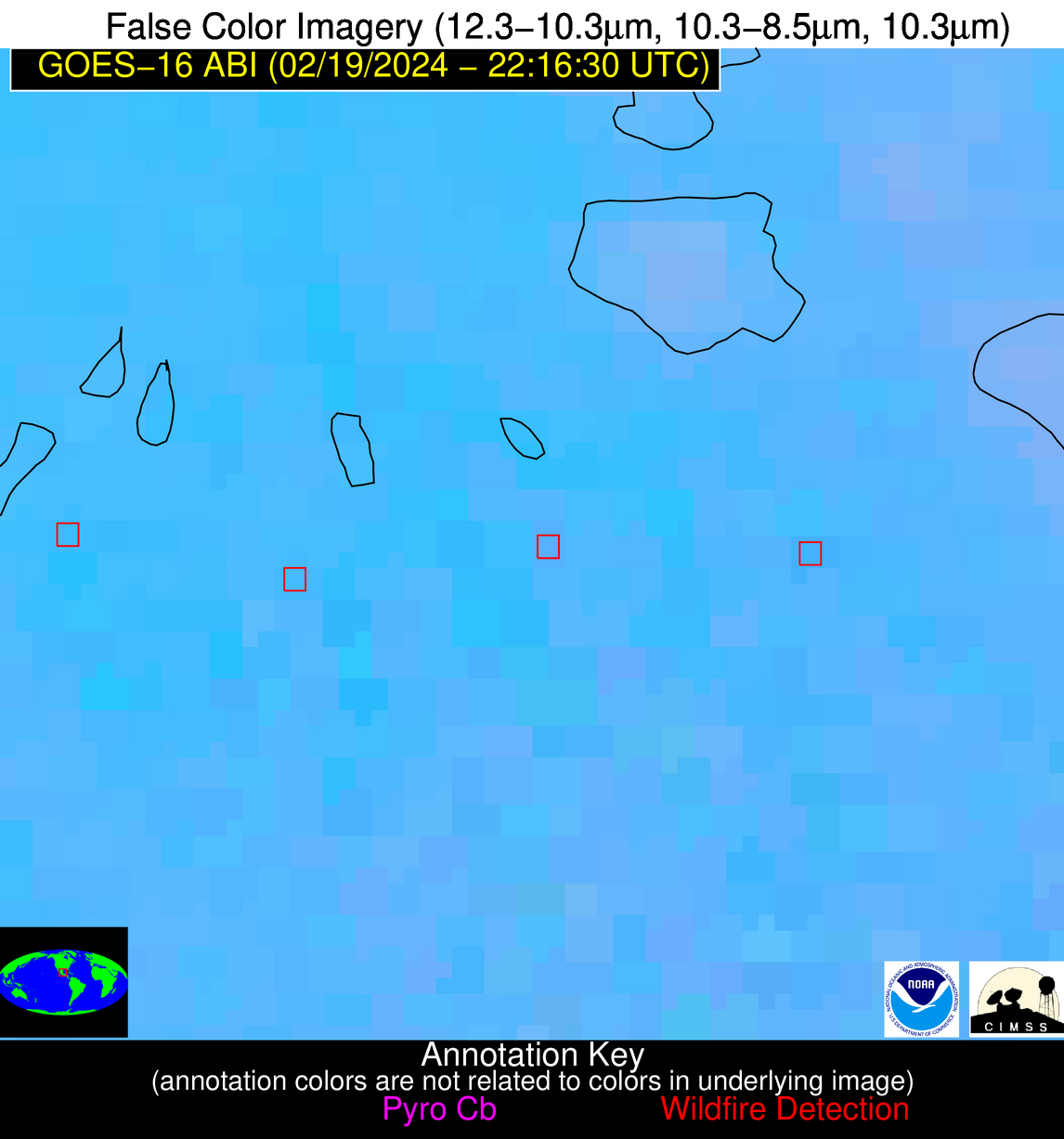
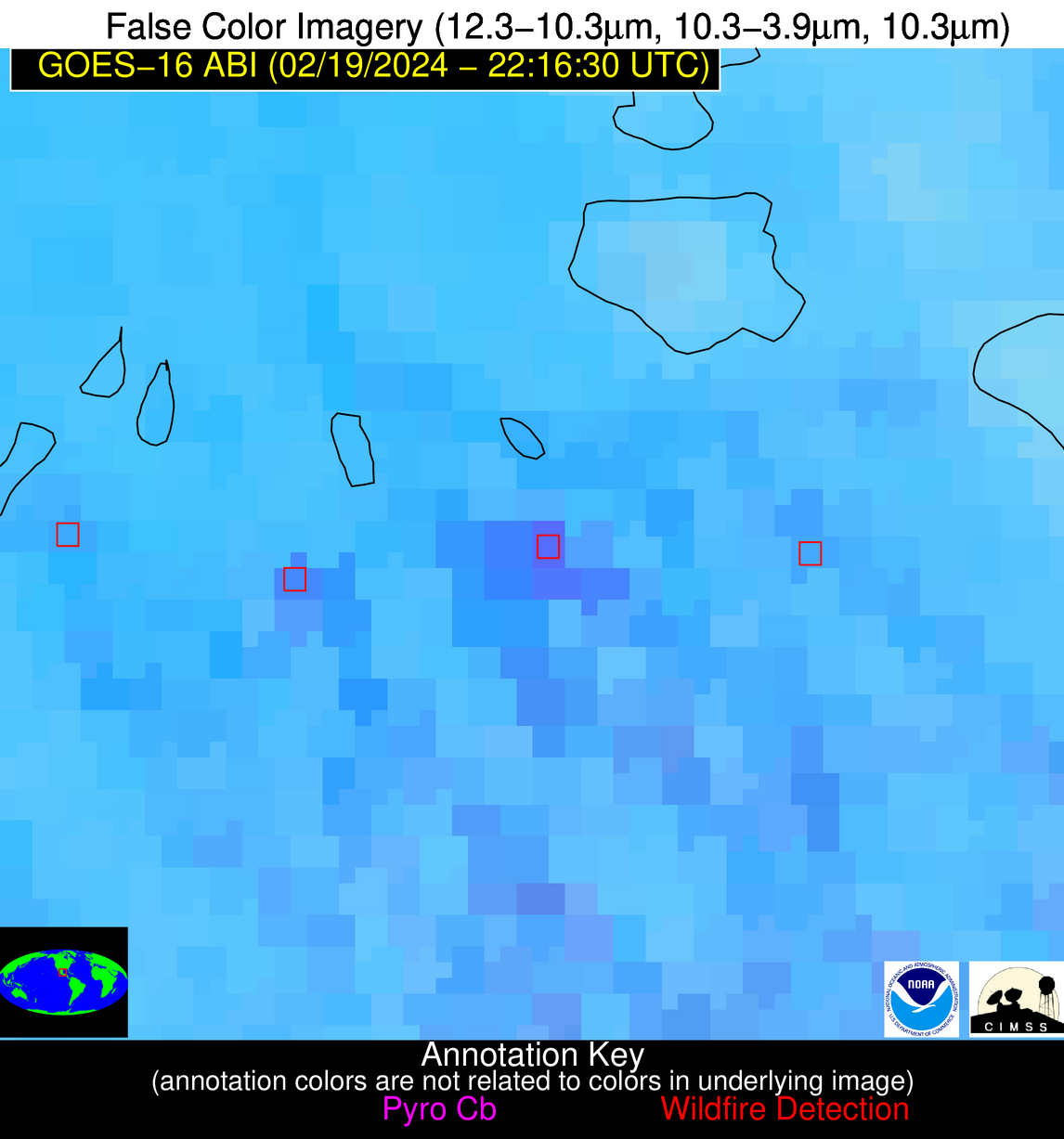
Wildfire Alert Report
| Date: | 2024-02-19 |
|---|---|
| Time: | 22:16:17 |
| Production Date and Time: | 2024-02-19 22:22:14 UTC |
| Primary Instrument: | GOES-16 ABI |
| Wmo Spacecraft Id: | 152 |
| Location/orbit: | GEO |
| L1 File: | OR_ABI-L1b-RadC-M6C14_G16_s20240502216170_e20240502218543_c20240502219030.nc |
| L1 File(s) - Temporal | OR_ABI-L1b-RadC-M6C14_G16_s20240502211170_e20240502213543_c20240502214030.nc |
| Number Of Thermal Anomaly Alerts: | 7 |
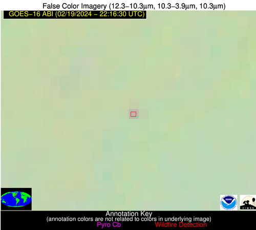
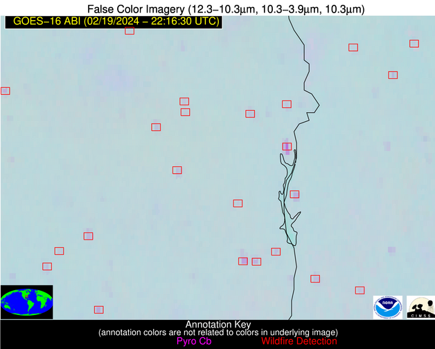
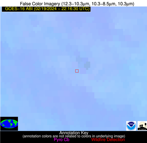
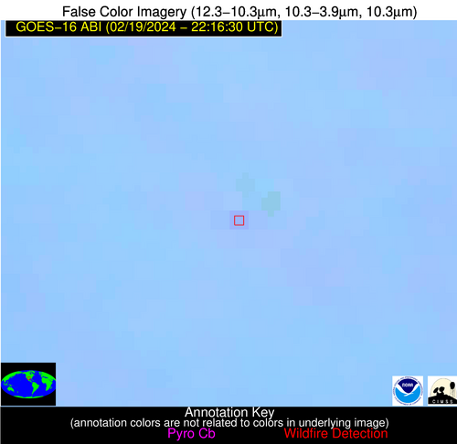
Possible Wildfire
| Basic Information | |
|---|---|
| State/Province(s) | VA |
| Country/Countries | USA |
| County/Locality(s) | Rockingham County, VA |
| NWS WFO | Baltimore MD/Washington DC |
| Identification Method | Enhanced Contextual (Clear) |
| Mean Object Date/Time | 2024-02-19 22:16:52UTC |
| Radiative Center (Lat, Lon): | 38.310000°, -78.750000° |
| Nearby Counties (meeting alert criteria): |
|
| Total Radiative Power Anomaly | n/a |
| Total Radiative Power | 5.93 MW |
| Map: | |
| Additional Information | |
| Alert Status | New Feature |
| Type of Event | Nominal Risk |
| Event Priority Ranking | 4 |
| Maximum Observed BT (3.9 um) | 282.24 K |
| Observed - Background BT (3.9 um) | 4.74 K |
| BT Anomaly (3.9 um) | 5.32 K |
| Maximum Observed - Clear RTM BT (3.9 um) | 8.87 K |
| Maximum Observed BTD (3.9-10/11/12 um) | 5.07 K |
| Observed - Background BTD (3.9-10/11/12 um) | 4.28 K |
| BTD Anomaly (3.9-10/11/12 um) | 14.58 K |
| Similar Pixel Count | 1 |
| BT Time Tendency (3.9 um) | 0.70 K |
| Image Interval | 5.00 minutes |
| Fraction of Surrounding LWIR Pixels that are Colder | 0.74 |
| Fraction of Surrounding Red Channel Pixels that are Brighter | 0.98 |
| Maximum Radiative Power | 5.93 MW |
| Maximum Radiative Power Uncertainty | 0.00 MW |
| Total Radiative Power Uncertainty | 0.00 MW |
| Mean Viewing Angle | 44.70° |
| Mean Solar Zenith Angle | 83.40° |
| Mean Glint Angle | 95.50° |
| Water Fraction | 0.00 |
| Total Pixel Area | 6.20 km2 |
| Latest Satellite Imagery: | |
| View all event imagery » | |
Possible Wildfire
| Basic Information | |
|---|---|
| State/Province(s) | GA |
| Country/Countries | USA |
| County/Locality(s) | Marion County, GA |
| NWS WFO | Peachtree City GA |
| Identification Method | Enhanced Contextual (Clear) |
| Mean Object Date/Time | 2024-02-19 22:17:21UTC |
| Radiative Center (Lat, Lon): | 32.380000°, -84.410000° |
| Nearby Counties (meeting alert criteria): |
|
| Total Radiative Power Anomaly | n/a |
| Total Radiative Power | 7.24 MW |
| Map: | |
| Additional Information | |
| Alert Status | New Feature |
| Type of Event | Nominal Risk |
| Event Priority Ranking | 4 |
| Maximum Observed BT (3.9 um) | 290.63 K |
| Observed - Background BT (3.9 um) | 4.07 K |
| BT Anomaly (3.9 um) | 11.05 K |
| Maximum Observed - Clear RTM BT (3.9 um) | 9.83 K |
| Maximum Observed BTD (3.9-10/11/12 um) | 5.09 K |
| Observed - Background BTD (3.9-10/11/12 um) | 4.11 K |
| BTD Anomaly (3.9-10/11/12 um) | 16.86 K |
| Similar Pixel Count | 1 |
| BT Time Tendency (3.9 um) | 0.90 K |
| Image Interval | 5.00 minutes |
| Fraction of Surrounding LWIR Pixels that are Colder | 0.35 |
| Fraction of Surrounding Red Channel Pixels that are Brighter | 1.00 |
| Maximum Radiative Power | 7.24 MW |
| Maximum Radiative Power Uncertainty | 0.00 MW |
| Total Radiative Power Uncertainty | 0.00 MW |
| Mean Viewing Angle | 39.20° |
| Mean Solar Zenith Angle | 76.90° |
| Mean Glint Angle | 83.70° |
| Water Fraction | 0.00 |
| Total Pixel Area | 5.60 km2 |
| Latest Satellite Imagery: | |
| View all event imagery » | |
Possible Wildfire
| Basic Information | |
|---|---|
| State/Province(s) | GA |
| Country/Countries | USA |
| County/Locality(s) | Quitman County, GA |
| NWS WFO | Tallahassee FL |
| Identification Method | Enhanced Contextual (Clear) |
| Mean Object Date/Time | 2024-02-19 22:17:21UTC |
| Radiative Center (Lat, Lon): | 31.850000°, -85.060000° |
| Nearby Counties (meeting alert criteria): |
|
| Total Radiative Power Anomaly | n/a |
| Total Radiative Power | 19.34 MW |
| Map: | |
| Additional Information | |
| Alert Status | New Feature |
| Type of Event | Nominal Risk |
| Event Priority Ranking | 4 |
| Maximum Observed BT (3.9 um) | 292.78 K |
| Observed - Background BT (3.9 um) | 5.99 K |
| BT Anomaly (3.9 um) | 13.37 K |
| Maximum Observed - Clear RTM BT (3.9 um) | 12.27 K |
| Maximum Observed BTD (3.9-10/11/12 um) | 6.61 K |
| Observed - Background BTD (3.9-10/11/12 um) | 5.75 K |
| BTD Anomaly (3.9-10/11/12 um) | 33.53 K |
| Similar Pixel Count | 2 |
| BT Time Tendency (3.9 um) | 4.80 K |
| Image Interval | 5.00 minutes |
| Fraction of Surrounding LWIR Pixels that are Colder | 0.74 |
| Fraction of Surrounding Red Channel Pixels that are Brighter | 1.00 |
| Maximum Radiative Power | 10.51 MW |
| Maximum Radiative Power Uncertainty | 0.00 MW |
| Total Radiative Power Uncertainty | 0.00 MW |
| Mean Viewing Angle | 38.80° |
| Mean Solar Zenith Angle | 76.20° |
| Mean Glint Angle | 82.40° |
| Water Fraction | 0.00 |
| Total Pixel Area | 11.10 km2 |
| Latest Satellite Imagery: | |
| View all event imagery » | |
Possible Wildfire
| Basic Information | |
|---|---|
| State/Province(s) | AL |
| Country/Countries | USA |
| County/Locality(s) | Butler County, AL |
| NWS WFO | Mobile AL |
| Identification Method | Enhanced Contextual (Clear) |
| Mean Object Date/Time | 2024-02-19 22:17:21UTC |
| Radiative Center (Lat, Lon): | 31.530000°, -86.700000° |
| Nearby Counties (meeting alert criteria): |
|
| Total Radiative Power Anomaly | n/a |
| Total Radiative Power | 5.93 MW |
| Map: | |
| Additional Information | |
| Alert Status | New Feature |
| Type of Event | Nominal Risk |
| Event Priority Ranking | 4 |
| Maximum Observed BT (3.9 um) | 290.15 K |
| Observed - Background BT (3.9 um) | 3.38 K |
| BT Anomaly (3.9 um) | 7.27 K |
| Maximum Observed - Clear RTM BT (3.9 um) | 10.29 K |
| Maximum Observed BTD (3.9-10/11/12 um) | 4.41 K |
| Observed - Background BTD (3.9-10/11/12 um) | 3.50 K |
| BTD Anomaly (3.9-10/11/12 um) | 14.80 K |
| Similar Pixel Count | 1 |
| BT Time Tendency (3.9 um) | 1.70 K |
| Image Interval | 5.00 minutes |
| Fraction of Surrounding LWIR Pixels that are Colder | 0.21 |
| Fraction of Surrounding Red Channel Pixels that are Brighter | 0.99 |
| Maximum Radiative Power | 5.93 MW |
| Maximum Radiative Power Uncertainty | 0.00 MW |
| Total Radiative Power Uncertainty | 0.00 MW |
| Mean Viewing Angle | 39.00° |
| Mean Solar Zenith Angle | 74.80° |
| Mean Glint Angle | 80.10° |
| Water Fraction | 0.00 |
| Total Pixel Area | 5.60 km2 |
| Latest Satellite Imagery: | |
| View all event imagery » | |
Possible Wildfire
| Basic Information | |
|---|---|
| State/Province(s) | TX |
| Country/Countries | USA |
| County/Locality(s) | Coke County, TX |
| NWS WFO | San Angelo TX |
| Identification Method | Enhanced Contextual (Clear) |
| Mean Object Date/Time | 2024-02-19 22:17:19UTC |
| Radiative Center (Lat, Lon): | 31.880000°, -100.580000° |
| Nearby Counties (meeting alert criteria): |
|
| Total Radiative Power Anomaly | n/a |
| Total Radiative Power | 8.94 MW |
| Map: | |
| Additional Information | |
| Alert Status | New Feature |
| Type of Event | Nominal Risk |
| Event Priority Ranking | 4 |
| Maximum Observed BT (3.9 um) | 301.16 K |
| Observed - Background BT (3.9 um) | 3.04 K |
| BT Anomaly (3.9 um) | 4.13 K |
| Maximum Observed - Clear RTM BT (3.9 um) | 11.38 K |
| Maximum Observed BTD (3.9-10/11/12 um) | 6.32 K |
| Observed - Background BTD (3.9-10/11/12 um) | 3.05 K |
| BTD Anomaly (3.9-10/11/12 um) | 11.26 K |
| Similar Pixel Count | 1 |
| BT Time Tendency (3.9 um) | 0.60 K |
| Image Interval | 5.00 minutes |
| Fraction of Surrounding LWIR Pixels that are Colder | 0.47 |
| Fraction of Surrounding Red Channel Pixels that are Brighter | 1.00 |
| Maximum Radiative Power | 8.94 MW |
| Maximum Radiative Power Uncertainty | 0.00 MW |
| Total Radiative Power Uncertainty | 0.00 MW |
| Mean Viewing Angle | 46.40° |
| Mean Solar Zenith Angle | 64.70° |
| Mean Glint Angle | 67.20° |
| Water Fraction | 0.00 |
| Total Pixel Area | 6.80 km2 |
| Latest Satellite Imagery: | |
| View all event imagery » | |
Possible Wildfire
| Basic Information | |
|---|---|
| State/Province(s) | LA |
| Country/Countries | USA |
| County/Locality(s) | St. Mary Parish, LA |
| NWS WFO | Lake Charles LA |
| Identification Method | Enhanced Contextual (Clear) |
| Mean Object Date/Time | 2024-02-19 22:17:50UTC |
| Radiative Center (Lat, Lon): | 29.850000°, -91.520000° |
| Nearby Counties (meeting alert criteria): |
|
| Total Radiative Power Anomaly | n/a |
| Total Radiative Power | 16.11 MW |
| Map: | |
| Additional Information | |
| Alert Status | New Feature |
| Type of Event | Nominal Risk |
| Event Priority Ranking | 4 |
| Maximum Observed BT (3.9 um) | 297.02 K |
| Observed - Background BT (3.9 um) | 9.70 K |
| BT Anomaly (3.9 um) | 8.98 K |
| Maximum Observed - Clear RTM BT (3.9 um) | 14.62 K |
| Maximum Observed BTD (3.9-10/11/12 um) | 11.15 K |
| Observed - Background BTD (3.9-10/11/12 um) | 8.36 K |
| BTD Anomaly (3.9-10/11/12 um) | 15.64 K |
| Similar Pixel Count | 1 |
| BT Time Tendency (3.9 um) | 3.70 K |
| Image Interval | 5.00 minutes |
| Fraction of Surrounding LWIR Pixels that are Colder | 0.99 |
| Fraction of Surrounding Red Channel Pixels that are Brighter | 0.99 |
| Maximum Radiative Power | 16.11 MW |
| Maximum Radiative Power Uncertainty | 0.00 MW |
| Total Radiative Power Uncertainty | 0.00 MW |
| Mean Viewing Angle | 39.30° |
| Mean Solar Zenith Angle | 70.30° |
| Mean Glint Angle | 72.60° |
| Water Fraction | 0.00 |
| Total Pixel Area | 5.70 km2 |
| Latest Satellite Imagery: | |
| View all event imagery » | |
Possible Wildfire
| Basic Information | |
|---|---|
| State/Province(s) | Unknown |
| Country/Countries | Mexico |
| County/Locality(s) | Mexico |
| NWS WFO | N/A |
| Identification Method | Enhanced Contextual (Clear) |
| Mean Object Date/Time | 2024-02-19 22:18:19UTC |
| Radiative Center (Lat, Lon): | 22.070000°, -98.150000° |
| Nearby Counties (meeting alert criteria): |
|
| Total Radiative Power Anomaly | n/a |
| Total Radiative Power | 66.47 MW |
| Map: | |
| Additional Information | |
| Alert Status | New Feature |
| Type of Event | Nominal Risk |
| Event Priority Ranking | 4 |
| Maximum Observed BT (3.9 um) | 310.00 K |
| Observed - Background BT (3.9 um) | 10.66 K |
| BT Anomaly (3.9 um) | 6.65 K |
| Maximum Observed - Clear RTM BT (3.9 um) | 17.96 K |
| Maximum Observed BTD (3.9-10/11/12 um) | 17.97 K |
| Observed - Background BTD (3.9-10/11/12 um) | 10.65 K |
| BTD Anomaly (3.9-10/11/12 um) | 6.64 K |
| Similar Pixel Count | 7 |
| BT Time Tendency (3.9 um) | 11.20 K |
| Image Interval | 5.00 minutes |
| Fraction of Surrounding LWIR Pixels that are Colder | 0.57 |
| Fraction of Surrounding Red Channel Pixels that are Brighter | 0.32 |
| Maximum Radiative Power | 37.08 MW |
| Maximum Radiative Power Uncertainty | 0.00 MW |
| Total Radiative Power Uncertainty | 0.00 MW |
| Mean Viewing Angle | 36.80° |
| Mean Solar Zenith Angle | 61.50° |
| Mean Glint Angle | 55.40° |
| Water Fraction | 0.00 |
| Total Pixel Area | 10.90 km2 |
| Latest Satellite Imagery: | |
| View all event imagery » | |

