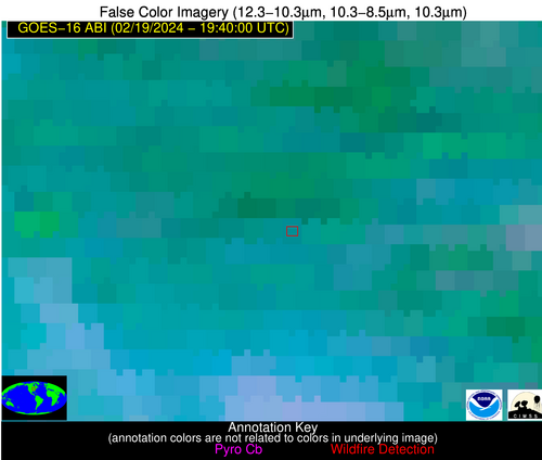
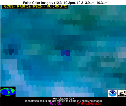
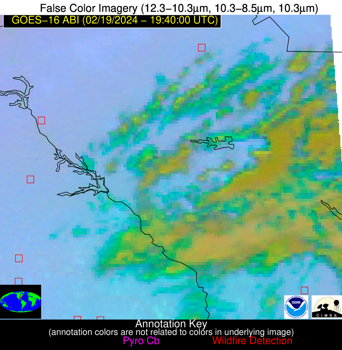
Wildfire Alert Report
| Date: | 2024-02-19 |
|---|---|
| Time: | 19:39:54 |
| Production Date and Time: | 2024-02-19 19:40:47 UTC |
| Primary Instrument: | GOES-16 ABI |
| Wmo Spacecraft Id: | 152 |
| Location/orbit: | GEO |
| L1 File: | OR_ABI-L1b-RadM2-M6C14_G16_s20240501939549_e20240501940008_c20240501940054.nc |
| L1 File(s) - Temporal | OR_ABI-L1b-RadM2-M6C14_G16_s20240501936549_e20240501937006_c20240501937055.nc |
| Number Of Thermal Anomaly Alerts: | 5 |
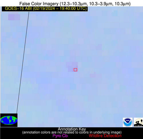
Possible Wildfire
| Basic Information | |
|---|---|
| State/Province(s) | IL |
| Country/Countries | USA |
| County/Locality(s) | DuPage County, IL |
| NWS WFO | Chicago IL |
| Identification Method | Enhanced Contextual (Cloud) |
| Mean Object Date/Time | 2024-02-19 19:39:56UTC |
| Radiative Center (Lat, Lon): | 41.930°, -88.220° |
| Nearby Counties (meeting alert criteria): |
|
| Total Radiative Power Anomaly | n/a |
| Total Radiative Power | 52.05 MW |
| Map: | |
| Additional Information | |
| Alert Status | New Feature |
| Type of Event | Nominal Risk |
| Event Priority Ranking | 4 |
| Maximum Observed BT (3.9 um) | 297.26 K |
| Observed - Background BT (3.9 um) | 11.11 K |
| BT Anomaly (3.9 um) | 6.16 K |
| Maximum Observed - Clear RTM BT (3.9 um) | 20.86 K |
| Maximum Observed BTD (3.9-10/11/12 um) | 30.08 K |
| Observed - Background BTD (3.9-10/11/12 um) | 10.62 K |
| BTD Anomaly (3.9-10/11/12 um) | 6.19 K |
| Similar Pixel Count | 0 |
| BT Time Tendency (3.9 um) | 10.20 K |
| Image Interval | 3.00 minutes |
| Fraction of Surrounding LWIR Pixels that are Colder | 0.62 |
| Fraction of Surrounding Red Channel Pixels that are Brighter | 1.00 |
| Maximum Radiative Power | 30.57 MW |
| Maximum Radiative Power Uncertainty | 0.00 MW |
| Total Radiative Power Uncertainty | 0.00 MW |
| Mean Viewing Angle | 50.50° |
| Mean Solar Zenith Angle | 57.60° |
| Mean Glint Angle | 96.30° |
| Water Fraction | 0.00 |
| Total Pixel Area | 14.30 km2 |
| Latest Satellite Imagery: | |
| View all event imagery » | |
Possible Wildfire
| Basic Information | |
|---|---|
| State/Province(s) | SC |
| Country/Countries | USA |
| County/Locality(s) | Cherokee County, SC |
| NWS WFO | Greenville-Spartanburg SC |
| Identification Method | Enhanced Contextual (Clear) |
| Mean Object Date/Time | 2024-02-19 19:40:00UTC |
| Radiative Center (Lat, Lon): | 34.850°, -81.460° |
| Nearby Counties (meeting alert criteria): |
|
| Total Radiative Power Anomaly | n/a |
| Total Radiative Power | 16.88 MW |
| Map: | |
| Additional Information | |
| Alert Status | New Feature |
| Type of Event | Nominal Risk |
| Event Priority Ranking | 4 |
| Maximum Observed BT (3.9 um) | 299.36 K |
| Observed - Background BT (3.9 um) | 7.03 K |
| BT Anomaly (3.9 um) | 8.47 K |
| Maximum Observed - Clear RTM BT (3.9 um) | 15.64 K |
| Maximum Observed BTD (3.9-10/11/12 um) | 11.96 K |
| Observed - Background BTD (3.9-10/11/12 um) | 7.06 K |
| BTD Anomaly (3.9-10/11/12 um) | 14.73 K |
| Similar Pixel Count | 5 |
| BT Time Tendency (3.9 um) | 1.70 K |
| Image Interval | 3.00 minutes |
| Fraction of Surrounding LWIR Pixels that are Colder | 0.52 |
| Fraction of Surrounding Red Channel Pixels that are Brighter | 0.60 |
| Maximum Radiative Power | 16.88 MW |
| Maximum Radiative Power Uncertainty | 0.00 MW |
| Total Radiative Power Uncertainty | 0.00 MW |
| Mean Viewing Angle | 41.20° |
| Mean Solar Zenith Angle | 54.50° |
| Mean Glint Angle | 85.50° |
| Water Fraction | 0.00 |
| Total Pixel Area | 5.80 km2 |
| Latest Satellite Imagery: | |
| View all event imagery » | |
Possible Wildfire
| Basic Information | |
|---|---|
| State/Province(s) | SC |
| Country/Countries | USA |
| County/Locality(s) | Anderson County, SC |
| NWS WFO | Greenville-Spartanburg SC |
| Identification Method | Enhanced Contextual (Clear) |
| Mean Object Date/Time | 2024-02-19 19:40:00UTC |
| Radiative Center (Lat, Lon): | 34.250°, -82.710° |
| Nearby Counties (meeting alert criteria): |
|
| Total Radiative Power Anomaly | n/a |
| Total Radiative Power | 10.05 MW |
| Map: | |
| Additional Information | |
| Alert Status | New Feature |
| Type of Event | Nominal Risk |
| Event Priority Ranking | 4 |
| Maximum Observed BT (3.9 um) | 296.07 K |
| Observed - Background BT (3.9 um) | 4.01 K |
| BT Anomaly (3.9 um) | 2.58 K |
| Maximum Observed - Clear RTM BT (3.9 um) | 13.74 K |
| Maximum Observed BTD (3.9-10/11/12 um) | 8.93 K |
| Observed - Background BTD (3.9-10/11/12 um) | 4.44 K |
| BTD Anomaly (3.9-10/11/12 um) | 8.25 K |
| Similar Pixel Count | 3 |
| BT Time Tendency (3.9 um) | 1.60 K |
| Image Interval | 3.00 minutes |
| Fraction of Surrounding LWIR Pixels that are Colder | 0.40 |
| Fraction of Surrounding Red Channel Pixels that are Brighter | 0.98 |
| Maximum Radiative Power | 10.05 MW |
| Maximum Radiative Power Uncertainty | 0.00 MW |
| Total Radiative Power Uncertainty | 0.00 MW |
| Mean Viewing Angle | 40.80° |
| Mean Solar Zenith Angle | 53.40° |
| Mean Glint Angle | 83.80° |
| Water Fraction | 0.00 |
| Total Pixel Area | 5.70 km2 |
| Latest Satellite Imagery: | |
| View all event imagery » | |
Possible Wildfire
| Basic Information | |
|---|---|
| State/Province(s) | SC |
| Country/Countries | USA |
| County/Locality(s) | Colleton County, SC |
| NWS WFO | Charleston SC |
| Identification Method | Enhanced Contextual (Clear) |
| Mean Object Date/Time | 2024-02-19 19:40:00UTC |
| Radiative Center (Lat, Lon): | 32.860°, -80.660° |
| Nearby Counties (meeting alert criteria): |
|
| Total Radiative Power Anomaly | n/a |
| Total Radiative Power | 17.93 MW |
| Map: | |
| Additional Information | |
| Alert Status | New Feature |
| Type of Event | Nominal Risk |
| Event Priority Ranking | 4 |
| Maximum Observed BT (3.9 um) | 298.93 K |
| Observed - Background BT (3.9 um) | 8.24 K |
| BT Anomaly (3.9 um) | 11.37 K |
| Maximum Observed - Clear RTM BT (3.9 um) | 14.57 K |
| Maximum Observed BTD (3.9-10/11/12 um) | 13.59 K |
| Observed - Background BTD (3.9-10/11/12 um) | 8.28 K |
| BTD Anomaly (3.9-10/11/12 um) | 9.27 K |
| Similar Pixel Count | 3 |
| BT Time Tendency (3.9 um) | 5.80 K |
| Image Interval | 3.00 minutes |
| Fraction of Surrounding LWIR Pixels that are Colder | 0.41 |
| Fraction of Surrounding Red Channel Pixels that are Brighter | 1.00 |
| Maximum Radiative Power | 17.93 MW |
| Maximum Radiative Power Uncertainty | 0.00 MW |
| Total Radiative Power Uncertainty | 0.00 MW |
| Mean Viewing Angle | 38.90° |
| Mean Solar Zenith Angle | 53.30° |
| Mean Glint Angle | 82.30° |
| Water Fraction | 0.00 |
| Total Pixel Area | 5.50 km2 |
| Latest Satellite Imagery: | |
| View all event imagery » | |
Possible Wildfire
| Basic Information | |
|---|---|
| State/Province(s) | AL |
| Country/Countries | USA |
| County/Locality(s) | Sumter County, AL |
| NWS WFO | Birmingham AL |
| Identification Method | Enhanced Contextual (Clear) |
| Mean Object Date/Time | 2024-02-19 19:39:59UTC |
| Radiative Center (Lat, Lon): | 32.740°, -88.140° |
| Nearby Counties (meeting alert criteria): |
|
| Total Radiative Power Anomaly | n/a |
| Total Radiative Power | 8.74 MW |
| Map: | |
| Additional Information | |
| Alert Status | New Feature |
| Type of Event | Nominal Risk |
| Event Priority Ranking | 4 |
| Maximum Observed BT (3.9 um) | 296.88 K |
| Observed - Background BT (3.9 um) | 3.70 K |
| BT Anomaly (3.9 um) | 3.37 K |
| Maximum Observed - Clear RTM BT (3.9 um) | 11.23 K |
| Maximum Observed BTD (3.9-10/11/12 um) | 7.59 K |
| Observed - Background BTD (3.9-10/11/12 um) | 3.82 K |
| BTD Anomaly (3.9-10/11/12 um) | 8.95 K |
| Similar Pixel Count | 4 |
| BT Time Tendency (3.9 um) | 3.60 K |
| Image Interval | 3.00 minutes |
| Fraction of Surrounding LWIR Pixels that are Colder | 0.31 |
| Fraction of Surrounding Red Channel Pixels that are Brighter | 1.00 |
| Maximum Radiative Power | 8.74 MW |
| Maximum Radiative Power Uncertainty | 0.00 MW |
| Total Radiative Power Uncertainty | 0.00 MW |
| Mean Viewing Angle | 40.80° |
| Mean Solar Zenith Angle | 49.60° |
| Mean Glint Angle | 78.70° |
| Water Fraction | 0.00 |
| Total Pixel Area | 5.80 km2 |
| Latest Satellite Imagery: | |
| View all event imagery » | |
