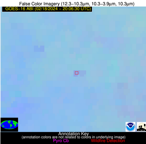
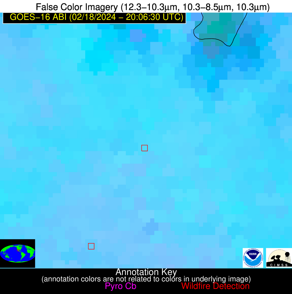
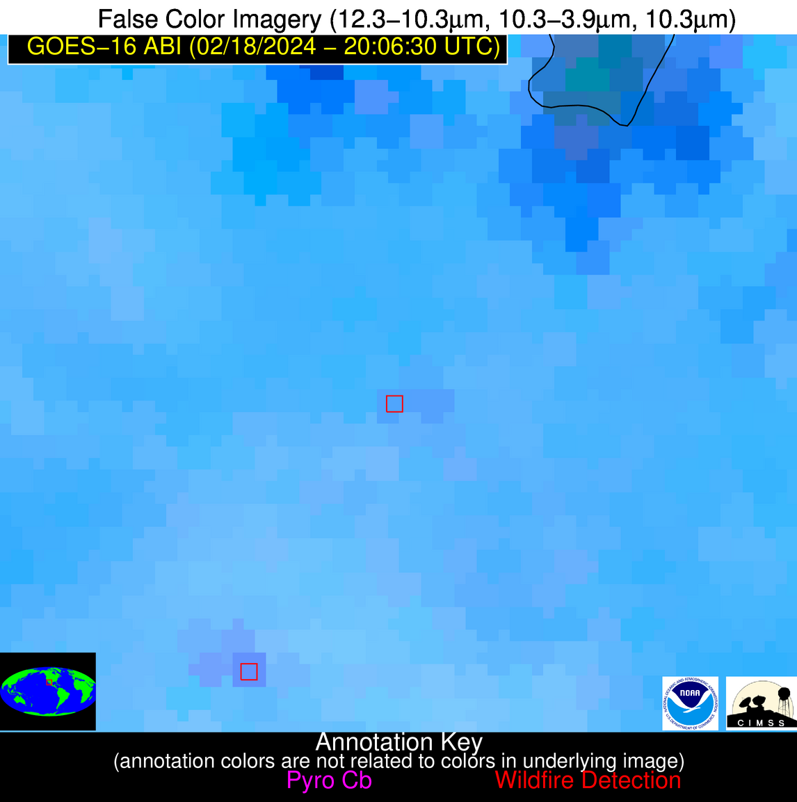
Wildfire Alert Report
| Date: | 2024-02-18 |
|---|---|
| Time: | 20:06:17 |
| Production Date and Time: | 2024-02-18 20:10:56 UTC |
| Primary Instrument: | GOES-16 ABI |
| Wmo Spacecraft Id: | 152 |
| Location/orbit: | GEO |
| L1 File: | OR_ABI-L1b-RadC-M6C14_G16_s20240492006176_e20240492008549_c20240492009008.nc |
| L1 File(s) - Temporal | OR_ABI-L1b-RadC-M6C14_G16_s20240492001176_e20240492003549_c20240492004007.nc |
| Number Of Thermal Anomaly Alerts: | 5 |
Possible Wildfire
| Basic Information | |
|---|---|
| State/Province(s) | IA |
| Country/Countries | USA |
| County/Locality(s) | Madison County, IA |
| NWS WFO | Des Moines IA |
| Identification Method | Enhanced Contextual (Clear) |
| Mean Object Date/Time | 2024-02-18 20:06:50UTC |
| Radiative Center (Lat, Lon): | 41.230000°, -94.220000° |
| Nearby Counties (meeting alert criteria): |
|
| Total Radiative Power Anomaly | n/a |
| Total Radiative Power | 7.20 MW |
| Map: | |
| Additional Information | |
| Alert Status | New Feature |
| Type of Event | Nominal Risk |
| Event Priority Ranking | 4 |
| Maximum Observed BT (3.9 um) | 295.48 K |
| Observed - Background BT (3.9 um) | 3.17 K |
| BT Anomaly (3.9 um) | 2.86 K |
| Maximum Observed - Clear RTM BT (3.9 um) | 19.66 K |
| Maximum Observed BTD (3.9-10/11/12 um) | 10.11 K |
| Observed - Background BTD (3.9-10/11/12 um) | 2.63 K |
| BTD Anomaly (3.9-10/11/12 um) | 5.72 K |
| Similar Pixel Count | 25 |
| BT Time Tendency (3.9 um) | 1.10 K |
| Image Interval | 5.00 minutes |
| Fraction of Surrounding LWIR Pixels that are Colder | 0.69 |
| Fraction of Surrounding Red Channel Pixels that are Brighter | 1.00 |
| Maximum Radiative Power | 7.20 MW |
| Maximum Radiative Power Uncertainty | 0.00 MW |
| Total Radiative Power Uncertainty | 0.00 MW |
| Mean Viewing Angle | 51.70° |
| Mean Solar Zenith Angle | 57.60° |
| Mean Glint Angle | 92.40° |
| Water Fraction | 0.00 |
| Total Pixel Area | 7.60 km2 |
| Latest Satellite Imagery: | |
| View all event imagery » | |
Possible Wildfire
| Basic Information | |
|---|---|
| State/Province(s) | MO |
| Country/Countries | USA |
| County/Locality(s) | Caldwell County, MO |
| NWS WFO | Kansas City/Pleasant Hill MO |
| Identification Method | Enhanced Contextual (Cloud) |
| Mean Object Date/Time | 2024-02-18 20:06:50UTC |
| Radiative Center (Lat, Lon): | 39.650000°, -94.010000° |
| Nearby Counties (meeting alert criteria): |
|
| Total Radiative Power Anomaly | n/a |
| Total Radiative Power | 32.10 MW |
| Map: | |
| Additional Information | |
| Alert Status | New Feature |
| Type of Event | Nominal Risk |
| Event Priority Ranking | 4 |
| Maximum Observed BT (3.9 um) | 301.88 K |
| Observed - Background BT (3.9 um) | 12.26 K |
| BT Anomaly (3.9 um) | 15.41 K |
| Maximum Observed - Clear RTM BT (3.9 um) | 26.77 K |
| Maximum Observed BTD (3.9-10/11/12 um) | 17.45 K |
| Observed - Background BTD (3.9-10/11/12 um) | 11.53 K |
| BTD Anomaly (3.9-10/11/12 um) | 32.83 K |
| Similar Pixel Count | 0 |
| BT Time Tendency (3.9 um) | 11.40 K |
| Image Interval | 5.00 minutes |
| Fraction of Surrounding LWIR Pixels that are Colder | 0.91 |
| Fraction of Surrounding Red Channel Pixels that are Brighter | 0.99 |
| Maximum Radiative Power | 32.10 MW |
| Maximum Radiative Power Uncertainty | 0.00 MW |
| Total Radiative Power Uncertainty | 0.00 MW |
| Mean Viewing Angle | 50.10° |
| Mean Solar Zenith Angle | 56.20° |
| Mean Glint Angle | 89.60° |
| Water Fraction | 0.00 |
| Total Pixel Area | 7.30 km2 |
| Latest Satellite Imagery: | |
| View all event imagery » | |
Possible Wildfire
| Basic Information | |
|---|---|
| State/Province(s) | OK |
| Country/Countries | USA |
| County/Locality(s) | Grady County, OK |
| NWS WFO | Norman OK |
| Identification Method | Enhanced Contextual (Clear) |
| Mean Object Date/Time | 2024-02-18 20:07:20UTC |
| Radiative Center (Lat, Lon): | 34.890000°, -97.910000° |
| Nearby Counties (meeting alert criteria): |
|
| Total Radiative Power Anomaly | n/a |
| Total Radiative Power | 5.36 MW |
| Map: | |
| Additional Information | |
| Alert Status | New Feature |
| Type of Event | Nominal Risk |
| Event Priority Ranking | 4 |
| Maximum Observed BT (3.9 um) | 296.65 K |
| Observed - Background BT (3.9 um) | 2.03 K |
| BT Anomaly (3.9 um) | 2.71 K |
| Maximum Observed - Clear RTM BT (3.9 um) | 15.73 K |
| Maximum Observed BTD (3.9-10/11/12 um) | 8.78 K |
| Observed - Background BTD (3.9-10/11/12 um) | 2.15 K |
| BTD Anomaly (3.9-10/11/12 um) | 5.43 K |
| Similar Pixel Count | 25 |
| BT Time Tendency (3.9 um) | 2.20 K |
| Image Interval | 5.00 minutes |
| Fraction of Surrounding LWIR Pixels that are Colder | 0.40 |
| Fraction of Surrounding Red Channel Pixels that are Brighter | 1.00 |
| Maximum Radiative Power | 5.36 MW |
| Maximum Radiative Power Uncertainty | 0.00 MW |
| Total Radiative Power Uncertainty | 0.00 MW |
| Mean Viewing Angle | 47.40° |
| Mean Solar Zenith Angle | 50.60° |
| Mean Glint Angle | 80.60° |
| Water Fraction | 0.00 |
| Total Pixel Area | 6.90 km2 |
| Latest Satellite Imagery: | |
| View all event imagery » | |
Possible Wildfire
| Basic Information | |
|---|---|
| State/Province(s) | LA |
| Country/Countries | USA |
| County/Locality(s) | Jefferson Davis Parish, LA |
| NWS WFO | Lake Charles LA |
| Identification Method | Enhanced Contextual (Clear) |
| Mean Object Date/Time | 2024-02-18 20:07:20UTC |
| Radiative Center (Lat, Lon): | 30.350000°, -92.970000° |
| Nearby Counties (meeting alert criteria): |
|
| Total Radiative Power Anomaly | n/a |
| Total Radiative Power | 8.62 MW |
| Map: | |
| Additional Information | |
| Alert Status | New Feature |
| Type of Event | Nominal Risk |
| Event Priority Ranking | 4 |
| Maximum Observed BT (3.9 um) | 294.93 K |
| Observed - Background BT (3.9 um) | 3.21 K |
| BT Anomaly (3.9 um) | 2.11 K |
| Maximum Observed - Clear RTM BT (3.9 um) | 13.97 K |
| Maximum Observed BTD (3.9-10/11/12 um) | 8.72 K |
| Observed - Background BTD (3.9-10/11/12 um) | 3.80 K |
| BTD Anomaly (3.9-10/11/12 um) | 5.59 K |
| Similar Pixel Count | 2 |
| BT Time Tendency (3.9 um) | 2.50 K |
| Image Interval | 5.00 minutes |
| Fraction of Surrounding LWIR Pixels that are Colder | 0.34 |
| Fraction of Surrounding Red Channel Pixels that are Brighter | 1.00 |
| Maximum Radiative Power | 8.62 MW |
| Maximum Radiative Power Uncertainty | 0.00 MW |
| Total Radiative Power Uncertainty | 0.00 MW |
| Mean Viewing Angle | 40.50° |
| Mean Solar Zenith Angle | 48.70° |
| Mean Glint Angle | 72.40° |
| Water Fraction | 0.00 |
| Total Pixel Area | 5.80 km2 |
| Latest Satellite Imagery: | |
| View all event imagery » | |
Possible Wildfire
| Basic Information | |
|---|---|
| State/Province(s) | Unknown |
| Country/Countries | Mexico |
| County/Locality(s) | Mexico |
| NWS WFO | N/A |
| Identification Method | Enhanced Contextual (Clear) |
| Mean Object Date/Time | 2024-02-18 20:07:48UTC |
| Radiative Center (Lat, Lon): | 27.620000°, -110.020000° |
| Nearby Counties (meeting alert criteria): |
|
| Total Radiative Power Anomaly | n/a |
| Total Radiative Power | 30.61 MW |
| Map: | |
| Additional Information | |
| Alert Status | New Feature |
| Type of Event | Nominal Risk |
| Event Priority Ranking | 4 |
| Maximum Observed BT (3.9 um) | 314.73 K |
| Observed - Background BT (3.9 um) | 2.17 K |
| BT Anomaly (3.9 um) | 1.14 K |
| Maximum Observed - Clear RTM BT (3.9 um) | 11.30 K |
| Maximum Observed BTD (3.9-10/11/12 um) | 10.38 K |
| Observed - Background BTD (3.9-10/11/12 um) | 2.31 K |
| BTD Anomaly (3.9-10/11/12 um) | 2.57 K |
| Similar Pixel Count | 23 |
| BT Time Tendency (3.9 um) | 1.40 K |
| Image Interval | 5.00 minutes |
| Fraction of Surrounding LWIR Pixels that are Colder | 0.50 |
| Fraction of Surrounding Red Channel Pixels that are Brighter | 0.89 |
| Maximum Radiative Power | 16.70 MW |
| Maximum Radiative Power Uncertainty | 0.00 MW |
| Total Radiative Power Uncertainty | 0.00 MW |
| Mean Viewing Angle | 50.20° |
| Mean Solar Zenith Angle | 40.30° |
| Mean Glint Angle | 72.20° |
| Water Fraction | 0.00 |
| Total Pixel Area | 15.30 km2 |
| Latest Satellite Imagery: | |
| View all event imagery » | |
