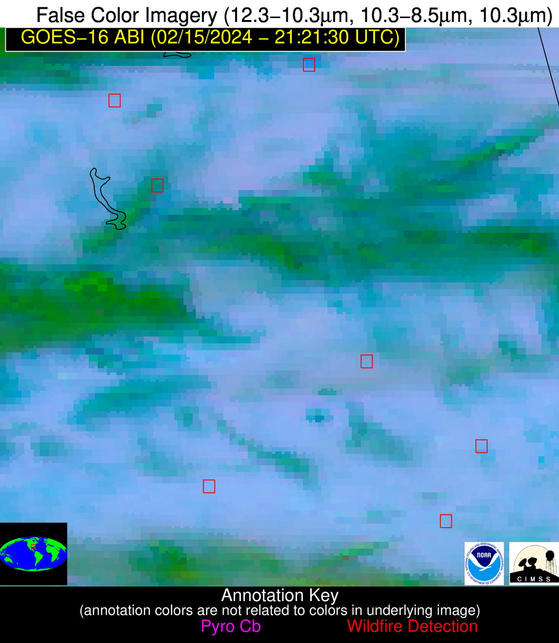
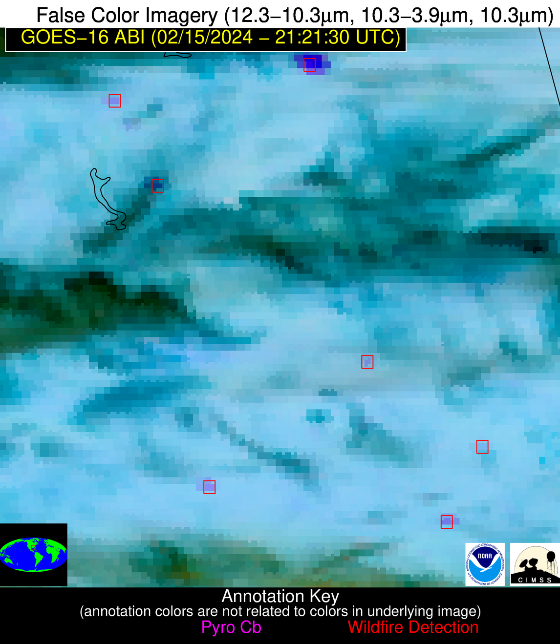
Wildfire Alert Report
| Date: | 2024-02-15 |
|---|---|
| Time: | 21:21:17 |
| Production Date and Time: | 2024-02-15 21:25:56 UTC |
| Primary Instrument: | GOES-16 ABI |
| Wmo Spacecraft Id: | 152 |
| Location/orbit: | GEO |
| L1 File: | OR_ABI-L1b-RadC-M6C14_G16_s20240462121175_e20240462123548_c20240462124041.nc |
| L1 File(s) - Temporal | OR_ABI-L1b-RadC-M6C14_G16_s20240462116175_e20240462118548_c20240462119023.nc |
| Number Of Thermal Anomaly Alerts: | 7 |
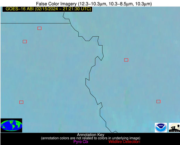
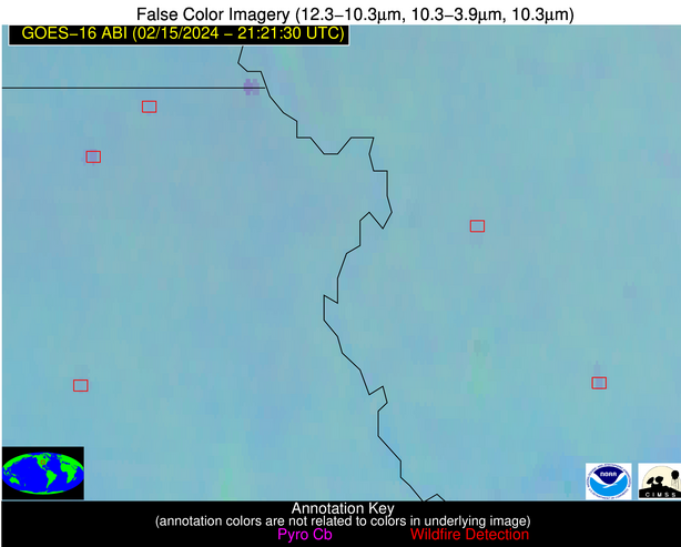
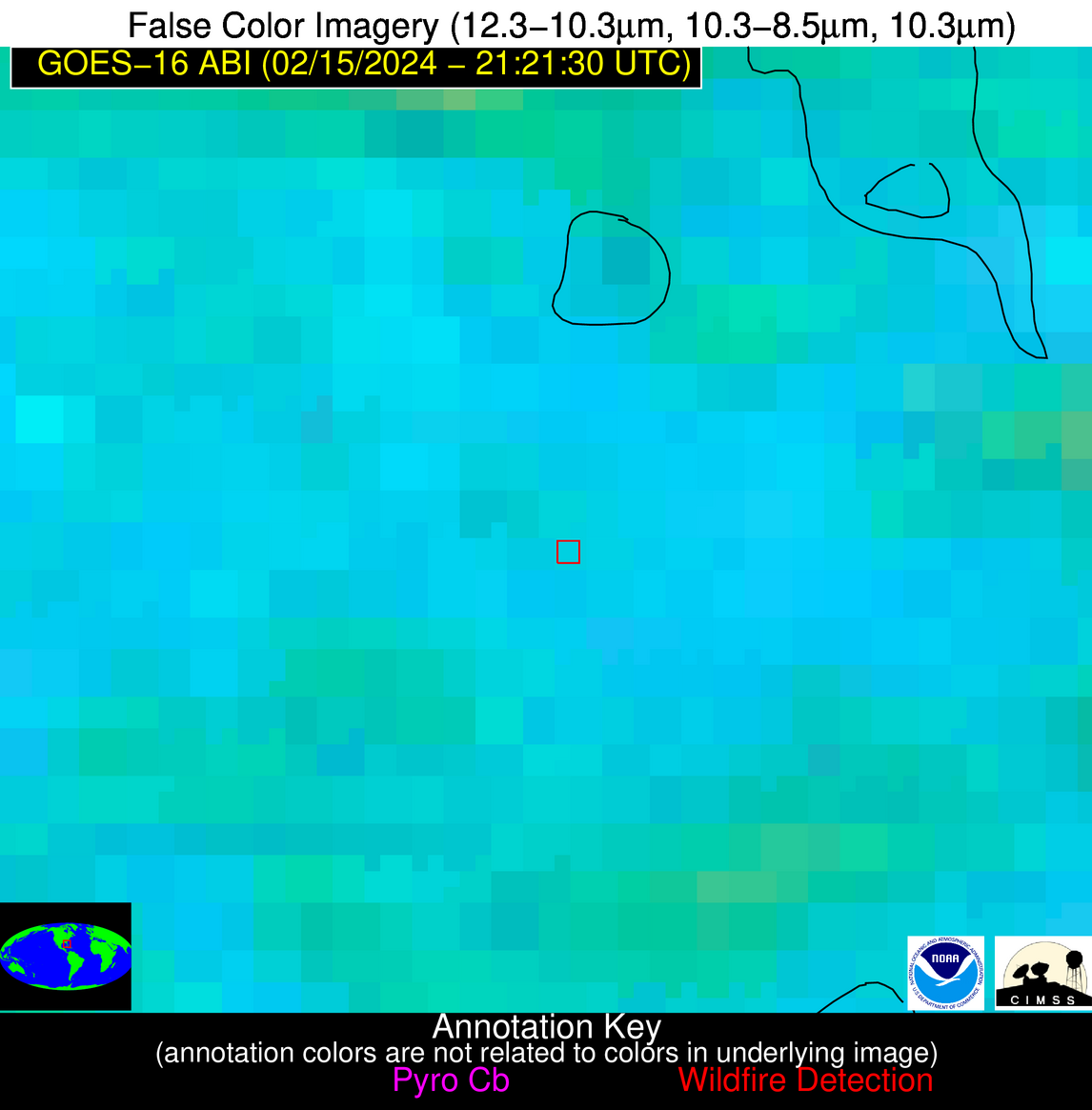
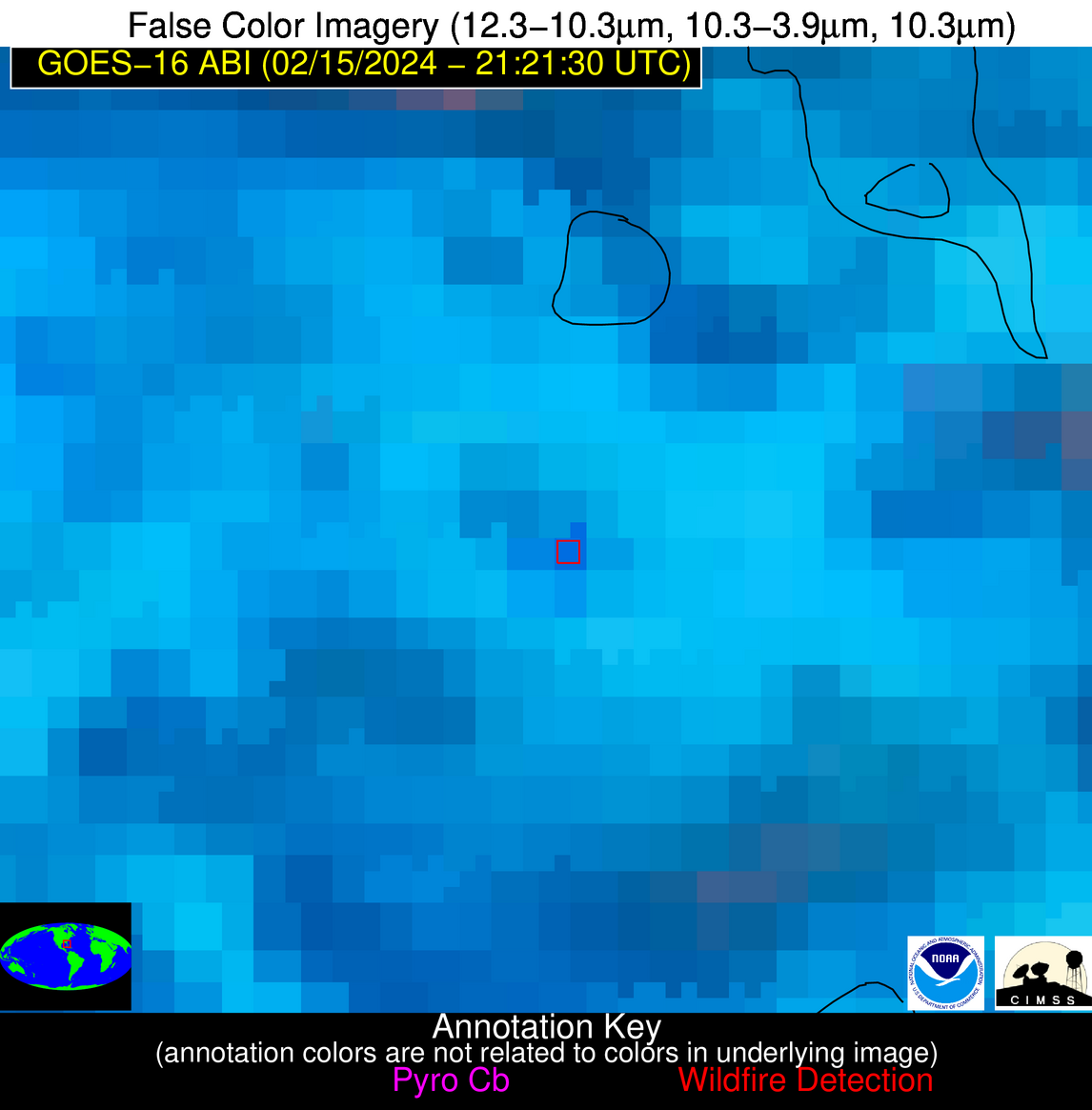
Possible Wildfire
| Basic Information | |
|---|---|
| State/Province(s) | KS |
| Country/Countries | USA |
| County/Locality(s) | Nemaha County, KS |
| NWS WFO | Topeka KS |
| Identification Method | Enhanced Contextual (Clear) |
| Mean Object Date/Time | 2024-02-15 21:21:50UTC |
| Radiative Center (Lat, Lon): | 39.860000°, -95.950000° |
| Nearby Counties (meeting alert criteria): |
|
| Total Radiative Power Anomaly | n/a |
| Total Radiative Power | 8.91 MW |
| Map: | |
| Additional Information | |
| Alert Status | New Feature |
| Type of Event | Nominal Risk |
| Event Priority Ranking | 4 |
| Maximum Observed BT (3.9 um) | 291.50 K |
| Observed - Background BT (3.9 um) | 4.37 K |
| BT Anomaly (3.9 um) | 6.73 K |
| Maximum Observed - Clear RTM BT (3.9 um) | 15.51 K |
| Maximum Observed BTD (3.9-10/11/12 um) | 11.05 K |
| Observed - Background BTD (3.9-10/11/12 um) | 4.07 K |
| BTD Anomaly (3.9-10/11/12 um) | 13.29 K |
| Similar Pixel Count | 7 |
| BT Time Tendency (3.9 um) | 0.50 K |
| Image Interval | 5.00 minutes |
| Fraction of Surrounding LWIR Pixels that are Colder | 0.72 |
| Fraction of Surrounding Red Channel Pixels that are Brighter | 1.00 |
| Maximum Radiative Power | 8.91 MW |
| Maximum Radiative Power Uncertainty | 0.00 MW |
| Total Radiative Power Uncertainty | 0.00 MW |
| Mean Viewing Angle | 51.10° |
| Mean Solar Zenith Angle | 65.00° |
| Mean Glint Angle | 85.10° |
| Water Fraction | 0.00 |
| Total Pixel Area | 7.50 km2 |
| Latest Satellite Imagery: | |
| View all event imagery » | |
Possible Wildfire
| Basic Information | |
|---|---|
| State/Province(s) | MO |
| Country/Countries | USA |
| County/Locality(s) | Ray County, MO |
| NWS WFO | Kansas City/Pleasant Hill MO |
| Identification Method | Enhanced Contextual (Clear) |
| Mean Object Date/Time | 2024-02-15 21:21:50UTC |
| Radiative Center (Lat, Lon): | 39.410000°, -94.080000° |
| Nearby Counties (meeting alert criteria): |
|
| Total Radiative Power Anomaly | n/a |
| Total Radiative Power | 8.37 MW |
| Map: | |
| Additional Information | |
| Alert Status | New Feature |
| Type of Event | Nominal Risk |
| Event Priority Ranking | 4 |
| Maximum Observed BT (3.9 um) | 290.03 K |
| Observed - Background BT (3.9 um) | 3.37 K |
| BT Anomaly (3.9 um) | 3.88 K |
| Maximum Observed - Clear RTM BT (3.9 um) | 13.15 K |
| Maximum Observed BTD (3.9-10/11/12 um) | 9.51 K |
| Observed - Background BTD (3.9-10/11/12 um) | 3.74 K |
| BTD Anomaly (3.9-10/11/12 um) | 10.26 K |
| Similar Pixel Count | 3 |
| BT Time Tendency (3.9 um) | 3.10 K |
| Image Interval | 5.00 minutes |
| Fraction of Surrounding LWIR Pixels that are Colder | 0.29 |
| Fraction of Surrounding Red Channel Pixels that are Brighter | 1.00 |
| Maximum Radiative Power | 8.37 MW |
| Maximum Radiative Power Uncertainty | 0.00 MW |
| Total Radiative Power Uncertainty | 0.00 MW |
| Mean Viewing Angle | 49.90° |
| Mean Solar Zenith Angle | 65.70° |
| Mean Glint Angle | 85.30° |
| Water Fraction | 0.00 |
| Total Pixel Area | 7.20 km2 |
| Latest Satellite Imagery: | |
| View all event imagery » | |
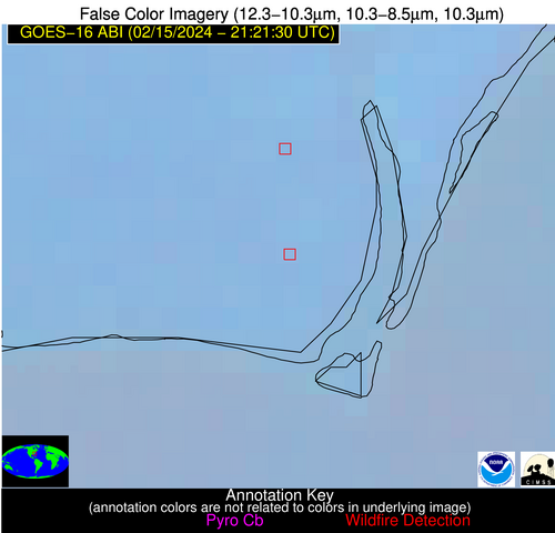
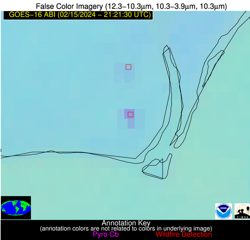
Possible Wildfire
| Basic Information | |
|---|---|
| State/Province(s) | NC |
| Country/Countries | USA |
| County/Locality(s) | Brunswick County, NC |
| NWS WFO | Wilmington NC |
| Identification Method | Enhanced Contextual (Clear) |
| Mean Object Date/Time | 2024-02-15 21:22:22UTC |
| Radiative Center (Lat, Lon): | 34.010000°, -78.040000° |
| Nearby Counties (meeting alert criteria): |
|
| Total Radiative Power Anomaly | n/a |
| Total Radiative Power | 24.25 MW |
| Map: | |
| Additional Information | |
| Alert Status | New Feature |
| Type of Event | Nominal Risk |
| Event Priority Ranking | 4 |
| Maximum Observed BT (3.9 um) | 295.73 K |
| Observed - Background BT (3.9 um) | 7.88 K |
| BT Anomaly (3.9 um) | 6.80 K |
| Maximum Observed - Clear RTM BT (3.9 um) | 10.70 K |
| Maximum Observed BTD (3.9-10/11/12 um) | 9.89 K |
| Observed - Background BTD (3.9-10/11/12 um) | 7.36 K |
| BTD Anomaly (3.9-10/11/12 um) | 16.39 K |
| Similar Pixel Count | 2 |
| BT Time Tendency (3.9 um) | 4.50 K |
| Image Interval | 5.00 minutes |
| Fraction of Surrounding LWIR Pixels that are Colder | 0.86 |
| Fraction of Surrounding Red Channel Pixels that are Brighter | 1.00 |
| Maximum Radiative Power | 24.25 MW |
| Maximum Radiative Power Uncertainty | 0.00 MW |
| Total Radiative Power Uncertainty | 0.00 MW |
| Mean Viewing Angle | 39.80° |
| Mean Solar Zenith Angle | 72.90° |
| Mean Glint Angle | 91.50° |
| Water Fraction | 0.00 |
| Total Pixel Area | 11.20 km2 |
| Latest Satellite Imagery: | |
| View all event imagery » | |
Possible Wildfire
| Basic Information | |
|---|---|
| State/Province(s) | AL |
| Country/Countries | USA |
| County/Locality(s) | Shelby County, AL |
| NWS WFO | Birmingham AL |
| Identification Method | Enhanced Contextual (Clear) |
| Mean Object Date/Time | 2024-02-15 21:22:21UTC |
| Radiative Center (Lat, Lon): | 33.280000°, -86.460000° |
| Nearby Counties (meeting alert criteria): |
|
| Total Radiative Power Anomaly | n/a |
| Total Radiative Power | 20.81 MW |
| Map: | |
| Additional Information | |
| Alert Status | New Feature |
| Type of Event | Nominal Risk |
| Event Priority Ranking | 4 |
| Maximum Observed BT (3.9 um) | 300.21 K |
| Observed - Background BT (3.9 um) | 8.72 K |
| BT Anomaly (3.9 um) | 11.82 K |
| Maximum Observed - Clear RTM BT (3.9 um) | 16.04 K |
| Maximum Observed BTD (3.9-10/11/12 um) | 12.81 K |
| Observed - Background BTD (3.9-10/11/12 um) | 7.76 K |
| BTD Anomaly (3.9-10/11/12 um) | 9.93 K |
| Similar Pixel Count | 4 |
| BT Time Tendency (3.9 um) | 8.70 K |
| Image Interval | 5.00 minutes |
| Fraction of Surrounding LWIR Pixels that are Colder | 0.97 |
| Fraction of Surrounding Red Channel Pixels that are Brighter | 1.00 |
| Maximum Radiative Power | 20.81 MW |
| Maximum Radiative Power Uncertainty | 0.00 MW |
| Total Radiative Power Uncertainty | 0.00 MW |
| Mean Viewing Angle | 40.70° |
| Mean Solar Zenith Angle | 66.60° |
| Mean Glint Angle | 81.80° |
| Water Fraction | 0.00 |
| Total Pixel Area | 5.80 km2 |
| Latest Satellite Imagery: | |
| View all event imagery » | |
Possible Wildfire
| Basic Information | |
|---|---|
| State/Province(s) | AL |
| Country/Countries | USA |
| County/Locality(s) | Barbour County, AL |
| NWS WFO | Birmingham AL |
| Identification Method | Enhanced Contextual (Clear) |
| Mean Object Date/Time | 2024-02-15 21:22:21UTC |
| Radiative Center (Lat, Lon): | 31.720000°, -85.560000° |
| Nearby Counties (meeting alert criteria): |
|
| Total Radiative Power Anomaly | n/a |
| Total Radiative Power | 41.01 MW |
| Map: | |
| Additional Information | |
| Alert Status | New Feature |
| Type of Event | Nominal Risk |
| Event Priority Ranking | 4 |
| Maximum Observed BT (3.9 um) | 302.20 K |
| Observed - Background BT (3.9 um) | 10.41 K |
| BT Anomaly (3.9 um) | 11.35 K |
| Maximum Observed - Clear RTM BT (3.9 um) | 16.38 K |
| Maximum Observed BTD (3.9-10/11/12 um) | 15.23 K |
| Observed - Background BTD (3.9-10/11/12 um) | 10.89 K |
| BTD Anomaly (3.9-10/11/12 um) | 14.94 K |
| Similar Pixel Count | 2 |
| BT Time Tendency (3.9 um) | 4.10 K |
| Image Interval | 5.00 minutes |
| Fraction of Surrounding LWIR Pixels that are Colder | 0.49 |
| Fraction of Surrounding Red Channel Pixels that are Brighter | 0.94 |
| Maximum Radiative Power | 24.89 MW |
| Maximum Radiative Power Uncertainty | 0.00 MW |
| Total Radiative Power Uncertainty | 0.00 MW |
| Mean Viewing Angle | 38.80° |
| Mean Solar Zenith Angle | 66.40° |
| Mean Glint Angle | 80.40° |
| Water Fraction | 0.00 |
| Total Pixel Area | 11.10 km2 |
| Latest Satellite Imagery: | |
| View all event imagery » | |
Possible Wildfire
| Basic Information | |
|---|---|
| State/Province(s) | MS |
| Country/Countries | USA |
| County/Locality(s) | Lamar County, MS |
| NWS WFO | Jackson MS |
| Identification Method | Enhanced Contextual (Clear) |
| Mean Object Date/Time | 2024-02-15 21:22:21UTC |
| Radiative Center (Lat, Lon): | 31.230000°, -89.580000° |
| Nearby Counties (meeting alert criteria): |
|
| Total Radiative Power Anomaly | n/a |
| Total Radiative Power | 41.17 MW |
| Map: | |
| Additional Information | |
| Alert Status | New Feature |
| Type of Event | Nominal Risk |
| Event Priority Ranking | 4 |
| Maximum Observed BT (3.9 um) | 295.87 K |
| Observed - Background BT (3.9 um) | 14.33 K |
| BT Anomaly (3.9 um) | 10.28 K |
| Maximum Observed - Clear RTM BT (3.9 um) | 9.43 K |
| Maximum Observed BTD (3.9-10/11/12 um) | 29.29 K |
| Observed - Background BTD (3.9-10/11/12 um) | 14.02 K |
| BTD Anomaly (3.9-10/11/12 um) | 11.17 K |
| Similar Pixel Count | 3 |
| BT Time Tendency (3.9 um) | 9.20 K |
| Image Interval | 5.00 minutes |
| Fraction of Surrounding LWIR Pixels that are Colder | 0.70 |
| Fraction of Surrounding Red Channel Pixels that are Brighter | 0.86 |
| Maximum Radiative Power | 41.17 MW |
| Maximum Radiative Power Uncertainty | 0.00 MW |
| Total Radiative Power Uncertainty | 0.00 MW |
| Mean Viewing Angle | 39.80° |
| Mean Solar Zenith Angle | 63.30° |
| Mean Glint Angle | 76.00° |
| Water Fraction | 0.00 |
| Total Pixel Area | 5.70 km2 |
| Latest Satellite Imagery: | |
| View all event imagery » | |
Possible Wildfire
| Basic Information | |
|---|---|
| State/Province(s) | FL |
| Country/Countries | USA |
| County/Locality(s) | Polk County, FL |
| NWS WFO | Tampa Bay Ruskin FL |
| Identification Method | Enhanced Contextual (Clear) |
| Mean Object Date/Time | 2024-02-15 21:22:52UTC |
| Radiative Center (Lat, Lon): | 27.670000°, -81.430000° |
| Nearby Counties (meeting alert criteria): |
|
| Total Radiative Power Anomaly | n/a |
| Total Radiative Power | 14.71 MW |
| Map: | |
| Additional Information | |
| Alert Status | New Feature |
| Type of Event | Nominal Risk |
| Event Priority Ranking | 4 |
| Maximum Observed BT (3.9 um) | 302.28 K |
| Observed - Background BT (3.9 um) | 6.57 K |
| BT Anomaly (3.9 um) | 7.19 K |
| Maximum Observed - Clear RTM BT (3.9 um) | 10.84 K |
| Maximum Observed BTD (3.9-10/11/12 um) | 22.07 K |
| Observed - Background BTD (3.9-10/11/12 um) | 6.68 K |
| BTD Anomaly (3.9-10/11/12 um) | 4.73 K |
| Similar Pixel Count | 6 |
| BT Time Tendency (3.9 um) | 2.60 K |
| Image Interval | 5.00 minutes |
| Fraction of Surrounding LWIR Pixels that are Colder | 0.44 |
| Fraction of Surrounding Red Channel Pixels that are Brighter | 0.88 |
| Maximum Radiative Power | 14.71 MW |
| Maximum Radiative Power Uncertainty | 0.00 MW |
| Total Radiative Power Uncertainty | 0.00 MW |
| Mean Viewing Angle | 33.20° |
| Mean Solar Zenith Angle | 67.30° |
| Mean Glint Angle | 79.60° |
| Water Fraction | 0.00 |
| Total Pixel Area | 5.10 km2 |
| Latest Satellite Imagery: | |
| View all event imagery » | |
