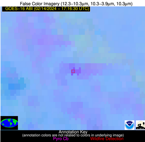
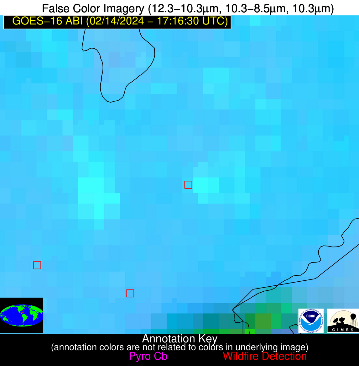
Wildfire Alert Report
| Date: | 2024-02-14 |
|---|---|
| Time: | 17:16:17 |
| Production Date and Time: | 2024-02-14 17:20:49 UTC |
| Primary Instrument: | GOES-16 ABI |
| Wmo Spacecraft Id: | 152 |
| Location/orbit: | GEO |
| L1 File: | OR_ABI-L1b-RadC-M6C14_G16_s20240451716174_e20240451718547_c20240451719042.nc |
| L1 File(s) - Temporal | OR_ABI-L1b-RadC-M6C14_G16_s20240451711174_e20240451713547_c20240451714015.nc |
| Number Of Thermal Anomaly Alerts: | 10 |
Possible Wildfire
| Basic Information | |
|---|---|
| State/Province(s) | IL |
| Country/Countries | USA |
| County/Locality(s) | Lake County, IL |
| NWS WFO | Chicago IL |
| Identification Method | Enhanced Contextual (Cloud) |
| Mean Object Date/Time | 2024-02-14 17:16:51UTC |
| Radiative Center (Lat, Lon): | 42.470°, -87.950° |
| Nearby Counties (meeting alert criteria): |
|
| Total Radiative Power Anomaly | n/a |
| Total Radiative Power | 24.22 MW |
| Map: | |
| Additional Information | |
| Alert Status | New Feature |
| Type of Event | Nominal Risk |
| Event Priority Ranking | 4 |
| Maximum Observed BT (3.9 um) | 298.93 K |
| Observed - Background BT (3.9 um) | 8.56 K |
| BT Anomaly (3.9 um) | 5.83 K |
| Maximum Observed - Clear RTM BT (3.9 um) | 20.59 K |
| Maximum Observed BTD (3.9-10/11/12 um) | 20.02 K |
| Observed - Background BTD (3.9-10/11/12 um) | 9.08 K |
| BTD Anomaly (3.9-10/11/12 um) | 8.68 K |
| Similar Pixel Count | 0 |
| BT Time Tendency (3.9 um) | 6.60 K |
| Image Interval | 5.00 minutes |
| Fraction of Surrounding LWIR Pixels that are Colder | 0.34 |
| Fraction of Surrounding Red Channel Pixels that are Brighter | 0.86 |
| Maximum Radiative Power | 24.22 MW |
| Maximum Radiative Power Uncertainty | 0.00 MW |
| Total Radiative Power Uncertainty | 0.00 MW |
| Mean Viewing Angle | 51.00° |
| Mean Solar Zenith Angle | 56.90° |
| Mean Glint Angle | 107.80° |
| Water Fraction | 0.00 |
| Total Pixel Area | 7.30 km2 |
| Latest Satellite Imagery: | |
| View all event imagery » | |
Possible Wildfire
| Basic Information | |
|---|---|
| State/Province(s) | MO |
| Country/Countries | USA |
| County/Locality(s) | Randolph County, MO |
| NWS WFO | Kansas City/Pleasant Hill MO |
| Identification Method | Enhanced Contextual (Clear) |
| Mean Object Date/Time | 2024-02-14 17:16:51UTC |
| Radiative Center (Lat, Lon): | 39.480°, -92.380° |
| Nearby Counties (meeting alert criteria): |
|
| Total Radiative Power Anomaly | n/a |
| Total Radiative Power | 9.18 MW |
| Map: | |
| Additional Information | |
| Alert Status | New Feature |
| Type of Event | Nominal Risk |
| Event Priority Ranking | 4 |
| Maximum Observed BT (3.9 um) | 298.97 K |
| Observed - Background BT (3.9 um) | 2.75 K |
| BT Anomaly (3.9 um) | 2.68 K |
| Maximum Observed - Clear RTM BT (3.9 um) | 15.66 K |
| Maximum Observed BTD (3.9-10/11/12 um) | 13.30 K |
| Observed - Background BTD (3.9-10/11/12 um) | 2.89 K |
| BTD Anomaly (3.9-10/11/12 um) | 3.77 K |
| Similar Pixel Count | 25 |
| BT Time Tendency (3.9 um) | 1.50 K |
| Image Interval | 5.00 minutes |
| Fraction of Surrounding LWIR Pixels that are Colder | 0.31 |
| Fraction of Surrounding Red Channel Pixels that are Brighter | 1.00 |
| Maximum Radiative Power | 9.18 MW |
| Maximum Radiative Power Uncertainty | 0.00 MW |
| Total Radiative Power Uncertainty | 0.00 MW |
| Mean Viewing Angle | 49.30° |
| Mean Solar Zenith Angle | 55.00° |
| Mean Glint Angle | 104.10° |
| Water Fraction | 0.00 |
| Total Pixel Area | 7.10 km2 |
| Latest Satellite Imagery: | |
| View all event imagery » | |
Possible Wildfire
| Basic Information | |
|---|---|
| State/Province(s) | MO |
| Country/Countries | USA |
| County/Locality(s) | Hickory County, MO |
| NWS WFO | Springfield MO |
| Identification Method | Enhanced Contextual (Clear) |
| Mean Object Date/Time | 2024-02-14 17:16:50UTC |
| Radiative Center (Lat, Lon): | 37.990°, -93.100° |
| Nearby Counties (meeting alert criteria): |
|
| Total Radiative Power Anomaly | n/a |
| Total Radiative Power | 11.99 MW |
| Map: | |
| Additional Information | |
| Alert Status | New Feature |
| Type of Event | Nominal Risk |
| Event Priority Ranking | 4 |
| Maximum Observed BT (3.9 um) | 302.08 K |
| Observed - Background BT (3.9 um) | 3.58 K |
| BT Anomaly (3.9 um) | 7.28 K |
| Maximum Observed - Clear RTM BT (3.9 um) | 16.65 K |
| Maximum Observed BTD (3.9-10/11/12 um) | 13.14 K |
| Observed - Background BTD (3.9-10/11/12 um) | 3.94 K |
| BTD Anomaly (3.9-10/11/12 um) | 11.37 K |
| Similar Pixel Count | 25 |
| BT Time Tendency (3.9 um) | 4.00 K |
| Image Interval | 5.00 minutes |
| Fraction of Surrounding LWIR Pixels that are Colder | 0.25 |
| Fraction of Surrounding Red Channel Pixels that are Brighter | 1.00 |
| Maximum Radiative Power | 11.99 MW |
| Maximum Radiative Power Uncertainty | 0.00 MW |
| Total Radiative Power Uncertainty | 0.00 MW |
| Mean Viewing Angle | 48.10° |
| Mean Solar Zenith Angle | 53.80° |
| Mean Glint Angle | 101.70° |
| Water Fraction | 0.00 |
| Total Pixel Area | 6.90 km2 |
| Latest Satellite Imagery: | |
| View all event imagery » | |
Possible Wildfire
| Basic Information | |
|---|---|
| State/Province(s) | MO |
| Country/Countries | USA |
| County/Locality(s) | Ste. Genevieve County, MO |
| NWS WFO | St Louis MO |
| Identification Method | Enhanced Contextual (Clear) |
| Mean Object Date/Time | 2024-02-14 17:16:51UTC |
| Radiative Center (Lat, Lon): | 37.760°, -90.130° |
| Nearby Counties (meeting alert criteria): |
|
| Total Radiative Power Anomaly | n/a |
| Total Radiative Power | 18.63 MW |
| Map: | |
| Additional Information | |
| Alert Status | New Feature |
| Type of Event | Nominal Risk |
| Event Priority Ranking | 4 |
| Maximum Observed BT (3.9 um) | 302.08 K |
| Observed - Background BT (3.9 um) | 3.82 K |
| BT Anomaly (3.9 um) | 4.40 K |
| Maximum Observed - Clear RTM BT (3.9 um) | 16.68 K |
| Maximum Observed BTD (3.9-10/11/12 um) | 12.20 K |
| Observed - Background BTD (3.9-10/11/12 um) | 3.43 K |
| BTD Anomaly (3.9-10/11/12 um) | 7.37 K |
| Similar Pixel Count | 23 |
| BT Time Tendency (3.9 um) | 3.10 K |
| Image Interval | 5.00 minutes |
| Fraction of Surrounding LWIR Pixels that are Colder | 0.65 |
| Fraction of Surrounding Red Channel Pixels that are Brighter | 0.96 |
| Maximum Radiative Power | 10.33 MW |
| Maximum Radiative Power Uncertainty | 0.00 MW |
| Total Radiative Power Uncertainty | 0.00 MW |
| Mean Viewing Angle | 46.70° |
| Mean Solar Zenith Angle | 52.80° |
| Mean Glint Angle | 99.40° |
| Water Fraction | 0.00 |
| Total Pixel Area | 13.20 km2 |
| Latest Satellite Imagery: | |
| View all event imagery » | |
Possible Wildfire
| Basic Information | |
|---|---|
| State/Province(s) | IL |
| Country/Countries | USA |
| County/Locality(s) | Jackson County, IL |
| NWS WFO | Paducah KY |
| Identification Method | Enhanced Contextual (Clear) |
| Mean Object Date/Time | 2024-02-14 17:16:51UTC |
| Radiative Center (Lat, Lon): | 37.610°, -89.450° |
| Nearby Counties (meeting alert criteria): |
|
| Total Radiative Power Anomaly | n/a |
| Total Radiative Power | 13.29 MW |
| Map: | |
| Additional Information | |
| Alert Status | New Feature |
| Type of Event | Nominal Risk, Known Incident: OAKWOOD UNIT 3B RX (MEDIUM, tdiff=0.12417 days, POINT) |
| Event Priority Ranking | 4 |
| Maximum Observed BT (3.9 um) | 302.67 K |
| Observed - Background BT (3.9 um) | 4.80 K |
| BT Anomaly (3.9 um) | 3.94 K |
| Maximum Observed - Clear RTM BT (3.9 um) | 17.35 K |
| Maximum Observed BTD (3.9-10/11/12 um) | 13.46 K |
| Observed - Background BTD (3.9-10/11/12 um) | 4.30 K |
| BTD Anomaly (3.9-10/11/12 um) | 7.09 K |
| Similar Pixel Count | 13 |
| BT Time Tendency (3.9 um) | 3.10 K |
| Image Interval | 5.00 minutes |
| Fraction of Surrounding LWIR Pixels that are Colder | 0.74 |
| Fraction of Surrounding Red Channel Pixels that are Brighter | 0.93 |
| Maximum Radiative Power | 13.29 MW |
| Maximum Radiative Power Uncertainty | 0.00 MW |
| Total Radiative Power Uncertainty | 0.00 MW |
| Mean Viewing Angle | 46.30° |
| Mean Solar Zenith Angle | 52.50° |
| Mean Glint Angle | 98.70° |
| Water Fraction | 0.00 |
| Total Pixel Area | 6.50 km2 |
| Latest Satellite Imagery: | |
| View all event imagery » | |
Possible Wildfire
| Basic Information | |
|---|---|
| State/Province(s) | NC |
| Country/Countries | USA |
| County/Locality(s) | Richmond County, NC |
| NWS WFO | Raleigh NC |
| Identification Method | Enhanced Contextual (Clear) |
| Mean Object Date/Time | 2024-02-14 17:17:22UTC |
| Radiative Center (Lat, Lon): | 35.030°, -79.640° |
| Nearby Counties (meeting alert criteria): |
|
| Total Radiative Power Anomaly | n/a |
| Total Radiative Power | 17.60 MW |
| Map: | |
| Additional Information | |
| Alert Status | New Feature |
| Type of Event | Nominal Risk |
| Event Priority Ranking | 4 |
| Maximum Observed BT (3.9 um) | 299.92 K |
| Observed - Background BT (3.9 um) | 3.84 K |
| BT Anomaly (3.9 um) | 3.44 K |
| Maximum Observed - Clear RTM BT (3.9 um) | 14.38 K |
| Maximum Observed BTD (3.9-10/11/12 um) | 11.40 K |
| Observed - Background BTD (3.9-10/11/12 um) | 3.84 K |
| BTD Anomaly (3.9-10/11/12 um) | 5.24 K |
| Similar Pixel Count | 7 |
| BT Time Tendency (3.9 um) | 3.10 K |
| Image Interval | 5.00 minutes |
| Fraction of Surrounding LWIR Pixels that are Colder | 0.49 |
| Fraction of Surrounding Red Channel Pixels that are Brighter | 1.00 |
| Maximum Radiative Power | 9.78 MW |
| Maximum Radiative Power Uncertainty | 0.00 MW |
| Total Radiative Power Uncertainty | 0.00 MW |
| Mean Viewing Angle | 41.10° |
| Mean Solar Zenith Angle | 48.50° |
| Mean Glint Angle | 89.60° |
| Water Fraction | 0.00 |
| Total Pixel Area | 11.50 km2 |
| Latest Satellite Imagery: | |
| View all event imagery » | |
Possible Wildfire
| Basic Information | |
|---|---|
| State/Province(s) | OK |
| Country/Countries | USA |
| County/Locality(s) | Hughes County, OK |
| NWS WFO | Norman OK |
| Identification Method | Enhanced Contextual (Clear) |
| Mean Object Date/Time | 2024-02-14 17:17:20UTC |
| Radiative Center (Lat, Lon): | 35.040°, -96.100° |
| Nearby Counties (meeting alert criteria): |
|
| Total Radiative Power Anomaly | n/a |
| Total Radiative Power | 6.67 MW |
| Map: | |
| Additional Information | |
| Alert Status | New Feature |
| Type of Event | Nominal Risk |
| Event Priority Ranking | 4 |
| Maximum Observed BT (3.9 um) | 300.05 K |
| Observed - Background BT (3.9 um) | 2.73 K |
| BT Anomaly (3.9 um) | 4.25 K |
| Maximum Observed - Clear RTM BT (3.9 um) | 13.49 K |
| Maximum Observed BTD (3.9-10/11/12 um) | 10.36 K |
| Observed - Background BTD (3.9-10/11/12 um) | 2.21 K |
| BTD Anomaly (3.9-10/11/12 um) | 9.24 K |
| Similar Pixel Count | 25 |
| BT Time Tendency (3.9 um) | 2.10 K |
| Image Interval | 5.00 minutes |
| Fraction of Surrounding LWIR Pixels that are Colder | 0.77 |
| Fraction of Surrounding Red Channel Pixels that are Brighter | 1.00 |
| Maximum Radiative Power | 6.67 MW |
| Maximum Radiative Power Uncertainty | 0.00 MW |
| Total Radiative Power Uncertainty | 0.00 MW |
| Mean Viewing Angle | 46.60° |
| Mean Solar Zenith Angle | 52.10° |
| Mean Glint Angle | 98.40° |
| Water Fraction | 0.00 |
| Total Pixel Area | 6.70 km2 |
| Latest Satellite Imagery: | |
| View all event imagery » | |
Possible Wildfire
| Basic Information | |
|---|---|
| State/Province(s) | SC |
| Country/Countries | USA |
| County/Locality(s) | Clarendon County, SC |
| NWS WFO | Columbia SC |
| Identification Method | Enhanced Contextual (Clear) |
| Mean Object Date/Time | 2024-02-14 17:17:22UTC |
| Radiative Center (Lat, Lon): | 33.570°, -80.290° |
| Nearby Counties (meeting alert criteria): |
|
| Total Radiative Power Anomaly | n/a |
| Total Radiative Power | 6.75 MW |
| Map: | |
| Additional Information | |
| Alert Status | New Feature |
| Type of Event | Nominal Risk |
| Event Priority Ranking | 4 |
| Maximum Observed BT (3.9 um) | 300.17 K |
| Observed - Background BT (3.9 um) | 3.24 K |
| BT Anomaly (3.9 um) | 2.23 K |
| Maximum Observed - Clear RTM BT (3.9 um) | 12.00 K |
| Maximum Observed BTD (3.9-10/11/12 um) | 10.03 K |
| Observed - Background BTD (3.9-10/11/12 um) | 2.88 K |
| BTD Anomaly (3.9-10/11/12 um) | 4.42 K |
| Similar Pixel Count | 17 |
| BT Time Tendency (3.9 um) | 2.50 K |
| Image Interval | 5.00 minutes |
| Fraction of Surrounding LWIR Pixels that are Colder | 0.73 |
| Fraction of Surrounding Red Channel Pixels that are Brighter | 1.00 |
| Maximum Radiative Power | 6.75 MW |
| Maximum Radiative Power Uncertainty | 0.00 MW |
| Total Radiative Power Uncertainty | 0.00 MW |
| Mean Viewing Angle | 39.60° |
| Mean Solar Zenith Angle | 47.10° |
| Mean Glint Angle | 86.60° |
| Water Fraction | 0.00 |
| Total Pixel Area | 5.60 km2 |
| Latest Satellite Imagery: | |
| View all event imagery » | |
Possible Wildfire
| Basic Information | |
|---|---|
| State/Province(s) | LA |
| Country/Countries | USA |
| County/Locality(s) | Pointe Coupee Parish, LA |
| NWS WFO | New Orleans LA |
| Identification Method | Enhanced Contextual (Clear) |
| Mean Object Date/Time | 2024-02-14 17:17:20UTC |
| Radiative Center (Lat, Lon): | 30.700°, -91.600° |
| Nearby Counties (meeting alert criteria): |
|
| Total Radiative Power Anomaly | n/a |
| Total Radiative Power | 60.84 MW |
| Map: | |
| Additional Information | |
| Alert Status | New Feature |
| Type of Event | Nominal Risk |
| Event Priority Ranking | 4 |
| Maximum Observed BT (3.9 um) | 312.92 K |
| Observed - Background BT (3.9 um) | 12.19 K |
| BT Anomaly (3.9 um) | 8.37 K |
| Maximum Observed - Clear RTM BT (3.9 um) | 25.23 K |
| Maximum Observed BTD (3.9-10/11/12 um) | 19.34 K |
| Observed - Background BTD (3.9-10/11/12 um) | 10.41 K |
| BTD Anomaly (3.9-10/11/12 um) | 8.78 K |
| Similar Pixel Count | 3 |
| BT Time Tendency (3.9 um) | 5.70 K |
| Image Interval | 5.00 minutes |
| Fraction of Surrounding LWIR Pixels that are Colder | 1.00 |
| Fraction of Surrounding Red Channel Pixels that are Brighter | 0.26 |
| Maximum Radiative Power | 35.79 MW |
| Maximum Radiative Power Uncertainty | 0.00 MW |
| Total Radiative Power Uncertainty | 0.00 MW |
| Mean Viewing Angle | 40.20° |
| Mean Solar Zenith Angle | 46.60° |
| Mean Glint Angle | 86.50° |
| Water Fraction | 0.00 |
| Total Pixel Area | 11.50 km2 |
| Latest Satellite Imagery: | |
| View all event imagery » | |
Possible Wildfire
| Basic Information | |
|---|---|
| State/Province(s) | FL |
| Country/Countries | USA |
| County/Locality(s) | Highlands County, FL |
| NWS WFO | Tampa Bay Ruskin FL |
| Identification Method | Enhanced Contextual (Clear) |
| Mean Object Date/Time | 2024-02-14 17:17:52UTC |
| Radiative Center (Lat, Lon): | 27.170°, -81.170° |
| Nearby Counties (meeting alert criteria): |
|
| Total Radiative Power Anomaly | n/a |
| Total Radiative Power | 22.76 MW |
| Map: | |
| Additional Information | |
| Alert Status | New Feature |
| Type of Event | Nominal Risk |
| Event Priority Ranking | 4 |
| Maximum Observed BT (3.9 um) | 311.63 K |
| Observed - Background BT (3.9 um) | 7.37 K |
| BT Anomaly (3.9 um) | 4.05 K |
| Maximum Observed - Clear RTM BT (3.9 um) | 17.78 K |
| Maximum Observed BTD (3.9-10/11/12 um) | 15.85 K |
| Observed - Background BTD (3.9-10/11/12 um) | 7.04 K |
| BTD Anomaly (3.9-10/11/12 um) | 7.27 K |
| Similar Pixel Count | 7 |
| BT Time Tendency (3.9 um) | 2.20 K |
| Image Interval | 5.00 minutes |
| Fraction of Surrounding LWIR Pixels that are Colder | 0.62 |
| Fraction of Surrounding Red Channel Pixels that are Brighter | 0.96 |
| Maximum Radiative Power | 22.76 MW |
| Maximum Radiative Power Uncertainty | 0.00 MW |
| Total Radiative Power Uncertainty | 0.00 MW |
| Mean Viewing Angle | 32.60° |
| Mean Solar Zenith Angle | 40.80° |
| Mean Glint Angle | 73.30° |
| Water Fraction | 0.00 |
| Total Pixel Area | 5.00 km2 |
| Latest Satellite Imagery: | |
| View all event imagery » | |
