Wildfire Alert Report
| Date: | 2024-02-14 |
|---|---|
| Time: | 01:41:17 |
| Production Date and Time: | 2024-02-14 01:45:50 UTC |
| Primary Instrument: | GOES-16 ABI |
| Wmo Spacecraft Id: | 152 |
| Location/orbit: | GEO |
| L1 File: | OR_ABI-L1b-RadC-M6C14_G16_s20240450141174_e20240450143547_c20240450144034.nc |
| L1 File(s) - Temporal | OR_ABI-L1b-RadC-M6C14_G16_s20240450136174_e20240450138547_c20240450139027.nc |
| Number Of Thermal Anomaly Alerts: | 4 |
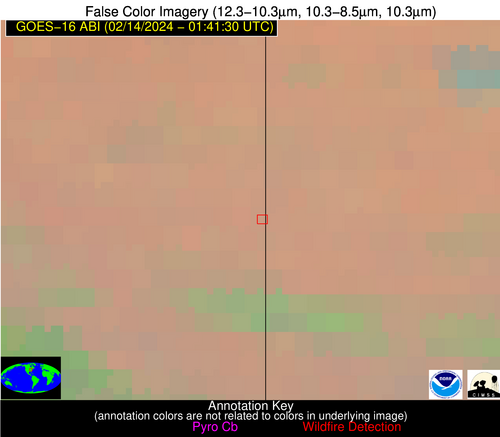
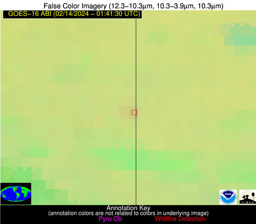
Possible Wildfire
| Basic Information | |
|---|---|
| State/Province(s) | British Columbia |
| Country/Countries | Canada |
| County/Locality(s) | Canada |
| NWS WFO | N/A |
| Identification Method | Enhanced Contextual (Clear) |
| Mean Object Date/Time | 2024-02-14 01:41:19UTC |
| Radiative Center (Lat, Lon): | 51.120000°, -116.700000° |
| Nearby Counties (meeting alert criteria): |
|
| Total Radiative Power Anomaly | n/a |
| Total Radiative Power | 13.19 MW |
| Map: | |
| Additional Information | |
| Alert Status | New Feature |
| Type of Event | Nominal Risk |
| Event Priority Ranking | 4 |
| Maximum Observed BT (3.9 um) | 269.99 K |
| Observed - Background BT (3.9 um) | 7.84 K |
| BT Anomaly (3.9 um) | 10.03 K |
| Maximum Observed - Clear RTM BT (3.9 um) | 8.24 K |
| Maximum Observed BTD (3.9-10/11/12 um) | 6.85 K |
| Observed - Background BTD (3.9-10/11/12 um) | 6.56 K |
| BTD Anomaly (3.9-10/11/12 um) | 13.87 K |
| Similar Pixel Count | 1 |
| BT Time Tendency (3.9 um) | 2.90 K |
| Image Interval | 5.00 minutes |
| Fraction of Surrounding LWIR Pixels that are Colder | 1.00 |
| Fraction of Surrounding Red Channel Pixels that are Brighter | 1.00 |
| Maximum Radiative Power | 13.19 MW |
| Maximum Radiative Power Uncertainty | 0.00 MW |
| Total Radiative Power Uncertainty | 0.00 MW |
| Mean Viewing Angle | 70.70° |
| Mean Solar Zenith Angle | 97.30° |
| Mean Glint Angle | 59.00° |
| Water Fraction | 0.00 |
| Total Pixel Area | 21.30 km2 |
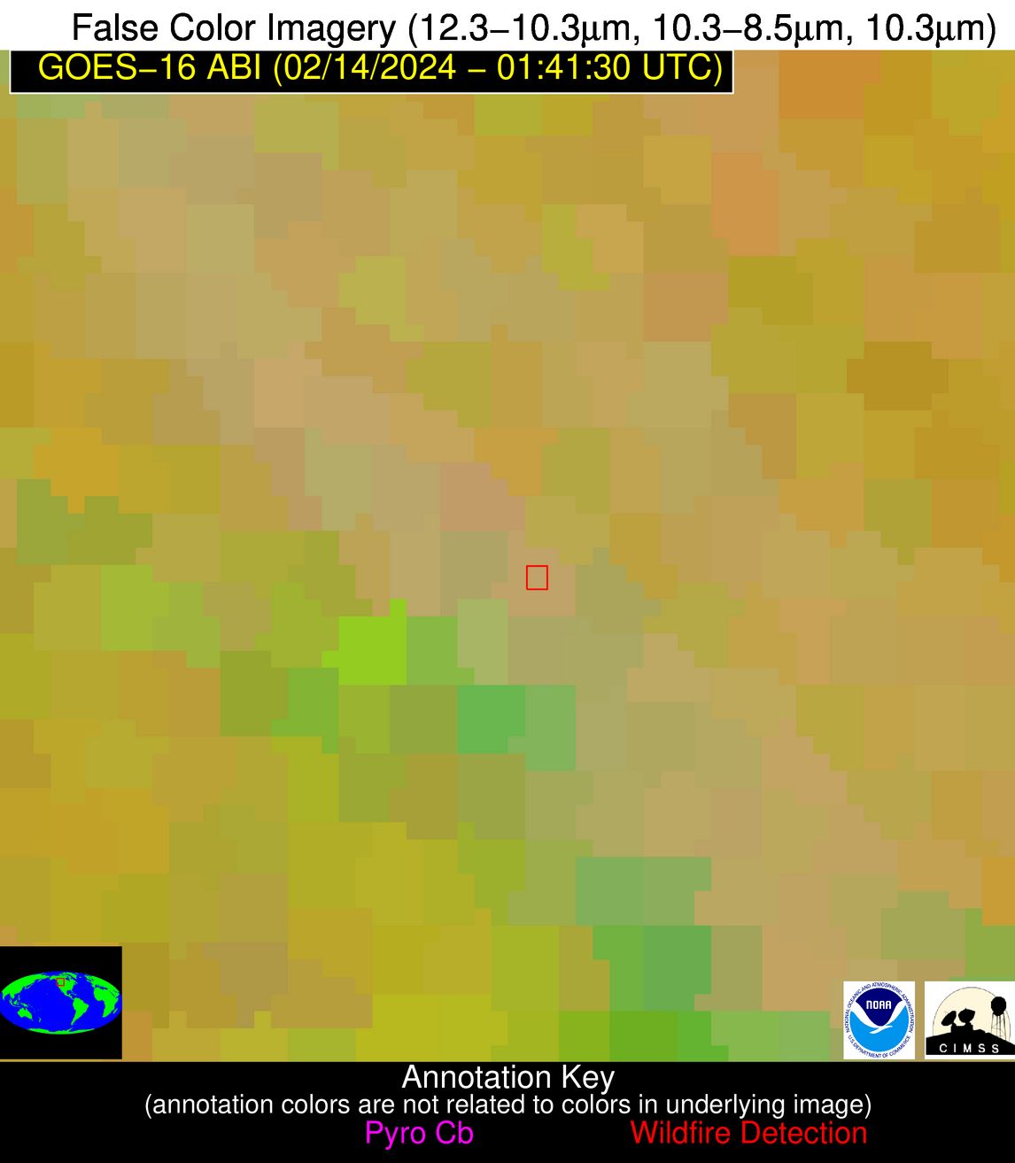
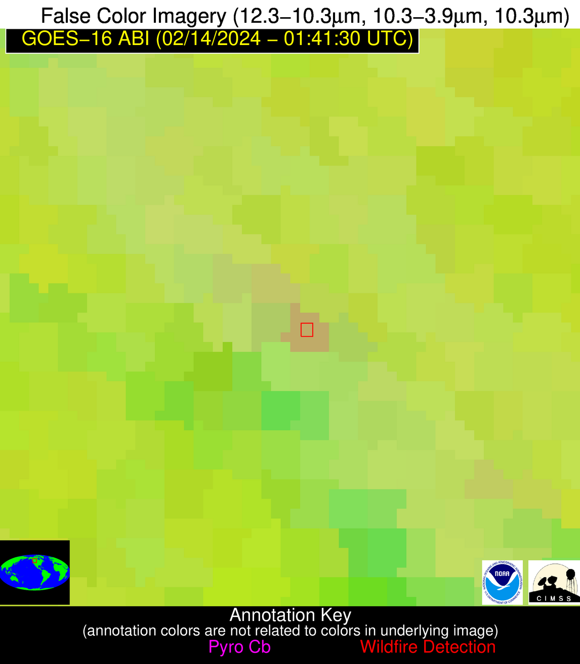
| Latest Satellite Imagery: | |
| View all event imagery » | |
Possible Wildfire
| Basic Information | |
|---|---|
| State/Province(s) | WA |
| Country/Countries | USA |
| County/Locality(s) | Cowlitz County, WA |
| NWS WFO | Portland OR |
| Identification Method | Enhanced Contextual (Clear) |
| Mean Object Date/Time | 2024-02-14 01:41:18UTC |
| Radiative Center (Lat, Lon): | 46.120000°, -122.380000° |
| Nearby Counties (meeting alert criteria): |
|
| Total Radiative Power Anomaly | n/a |
| Total Radiative Power | 27.64 MW |
| Map: | |
| Additional Information | |
| Alert Status | New Feature |
| Type of Event | Nominal Risk |
| Event Priority Ranking | 4 |
| Maximum Observed BT (3.9 um) | 281.66 K |
| Observed - Background BT (3.9 um) | 8.18 K |
| BT Anomaly (3.9 um) | 6.55 K |
| Maximum Observed - Clear RTM BT (3.9 um) | 6.82 K |
| Maximum Observed BTD (3.9-10/11/12 um) | 8.65 K |
| Observed - Background BTD (3.9-10/11/12 um) | 8.15 K |
| BTD Anomaly (3.9-10/11/12 um) | 13.22 K |
| Similar Pixel Count | 1 |
| BT Time Tendency (3.9 um) | 1.90 K |
| Image Interval | 5.00 minutes |
| Fraction of Surrounding LWIR Pixels that are Colder | 0.63 |
| Fraction of Surrounding Red Channel Pixels that are Brighter | 1.00 |
| Maximum Radiative Power | 27.64 MW |
| Maximum Radiative Power Uncertainty | 0.00 MW |
| Total Radiative Power Uncertainty | 0.00 MW |
| Mean Viewing Angle | 70.60° |
| Mean Solar Zenith Angle | 92.40° |
| Mean Glint Angle | 54.10° |
| Water Fraction | 0.00 |
| Total Pixel Area | 22.70 km2 |
| Latest Satellite Imagery: | |
| View all event imagery » | |
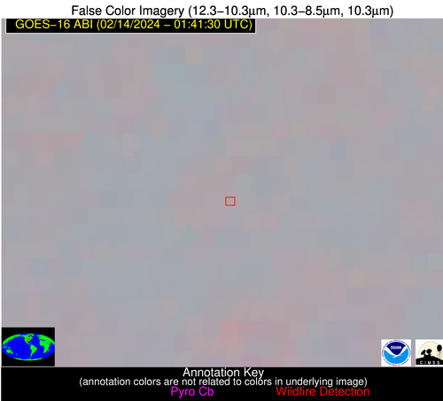
Possible Wildfire
| Basic Information | |
|---|---|
| State/Province(s) | IN |
| Country/Countries | USA |
| County/Locality(s) | Jay County, IN |
| NWS WFO | Northern Indiana IN |
| Identification Method | Enhanced Contextual (Clear) |
| Mean Object Date/Time | 2024-02-14 01:41:51UTC |
| Radiative Center (Lat, Lon): | 40.330000°, -84.820000° |
| Nearby Counties (meeting alert criteria): |
|
| Total Radiative Power Anomaly | n/a |
| Total Radiative Power | 2.43 MW |
| Map: | |
| Additional Information | |
| Alert Status | New Feature |
| Type of Event | Nominal Risk |
| Event Priority Ranking | 4 |
| Maximum Observed BT (3.9 um) | 270.91 K |
| Observed - Background BT (3.9 um) | 3.02 K |
| BT Anomaly (3.9 um) | 3.79 K |
| Maximum Observed - Clear RTM BT (3.9 um) | 1.18 K |
| Maximum Observed BTD (3.9-10/11/12 um) | 2.30 K |
| Observed - Background BTD (3.9-10/11/12 um) | 2.65 K |
| BTD Anomaly (3.9-10/11/12 um) | 8.22 K |
| Similar Pixel Count | 1 |
| BT Time Tendency (3.9 um) | 0.10 K |
| Image Interval | 5.00 minutes |
| Fraction of Surrounding LWIR Pixels that are Colder | 0.73 |
| Fraction of Surrounding Red Channel Pixels that are Brighter | 1.00 |
| Maximum Radiative Power | 2.43 MW |
| Maximum Radiative Power Uncertainty | 0.00 MW |
| Total Radiative Power Uncertainty | 0.00 MW |
| Mean Viewing Angle | 47.90° |
| Mean Solar Zenith Angle | 119.00° |
| Mean Glint Angle | 94.70° |
| Water Fraction | 0.00 |
| Total Pixel Area | 6.70 km2 |
| Latest Satellite Imagery: | |
| View all event imagery » | |
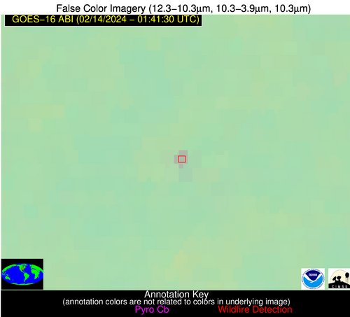
Possible Wildfire
| Basic Information | |
|---|---|
| State/Province(s) | MO |
| Country/Countries | USA |
| County/Locality(s) | Washington County, MO |
| NWS WFO | St Louis MO |
| Identification Method | Enhanced Contextual (Clear) |
| Mean Object Date/Time | 2024-02-14 01:41:51UTC |
| Radiative Center (Lat, Lon): | 37.990000°, -90.840000° |
| Nearby Counties (meeting alert criteria): |
|
| Total Radiative Power Anomaly | n/a |
| Total Radiative Power | 6.62 MW |
| Map: | |
| Additional Information | |
| Alert Status | New Feature |
| Type of Event | Nominal Risk |
| Event Priority Ranking | 4 |
| Maximum Observed BT (3.9 um) | 280.90 K |
| Observed - Background BT (3.9 um) | 4.02 K |
| BT Anomaly (3.9 um) | 9.59 K |
| Maximum Observed - Clear RTM BT (3.9 um) | 5.61 K |
| Maximum Observed BTD (3.9-10/11/12 um) | 5.29 K |
| Observed - Background BTD (3.9-10/11/12 um) | 4.56 K |
| BTD Anomaly (3.9-10/11/12 um) | 27.25 K |
| Similar Pixel Count | 1 |
| BT Time Tendency (3.9 um) | 3.90 K |
| Image Interval | 5.00 minutes |
| Fraction of Surrounding LWIR Pixels that are Colder | 0.12 |
| Fraction of Surrounding Red Channel Pixels that are Brighter | 1.00 |
| Maximum Radiative Power | 6.62 MW |
| Maximum Radiative Power Uncertainty | 0.00 MW |
| Total Radiative Power Uncertainty | 0.00 MW |
| Mean Viewing Angle | 47.20° |
| Mean Solar Zenith Angle | 114.60° |
| Mean Glint Angle | 89.10° |
| Water Fraction | 0.00 |
| Total Pixel Area | 6.70 km2 |
| Latest Satellite Imagery: | |
| View all event imagery » | |
