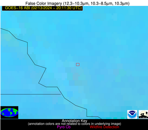
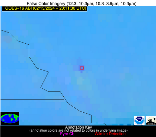
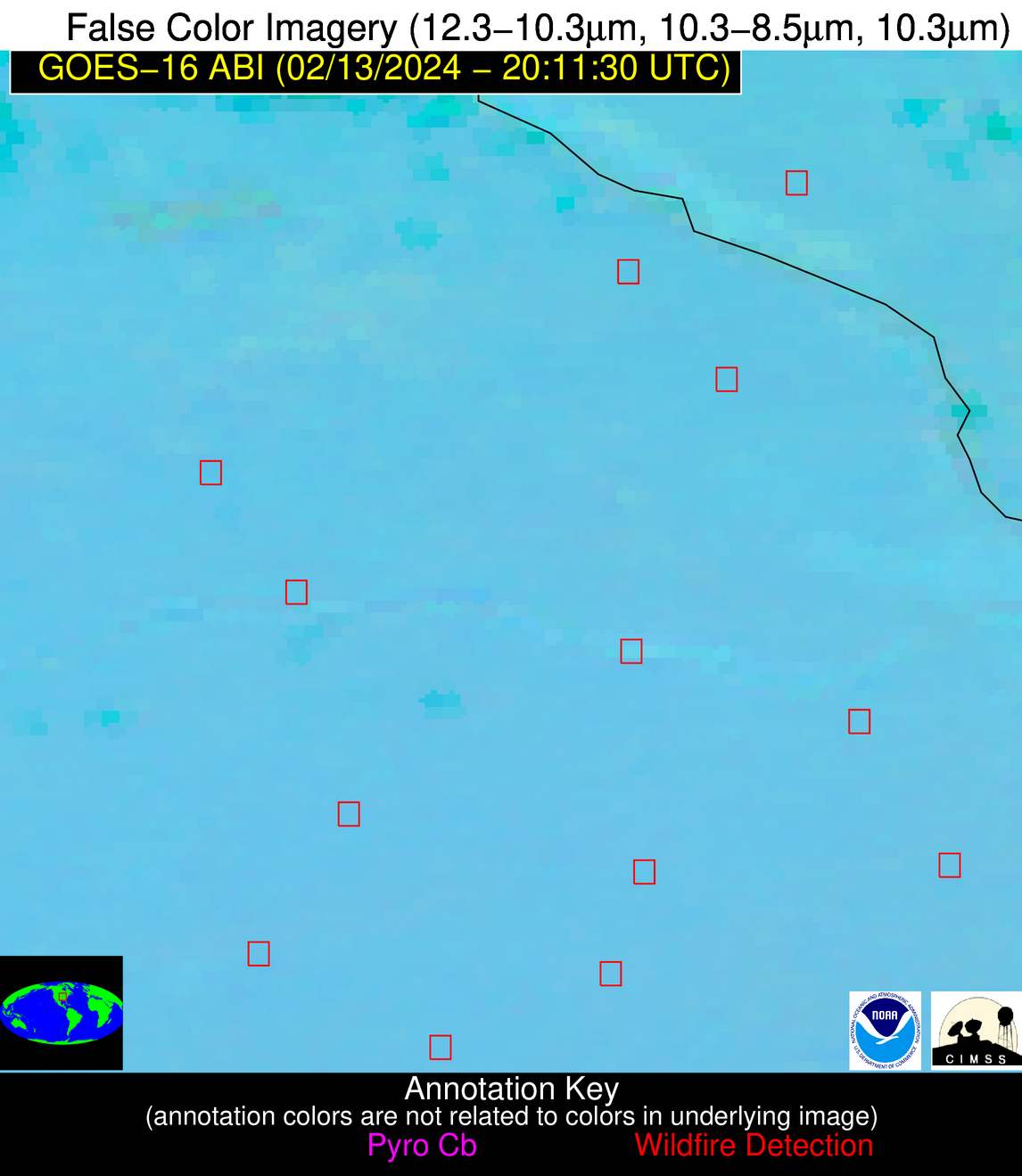
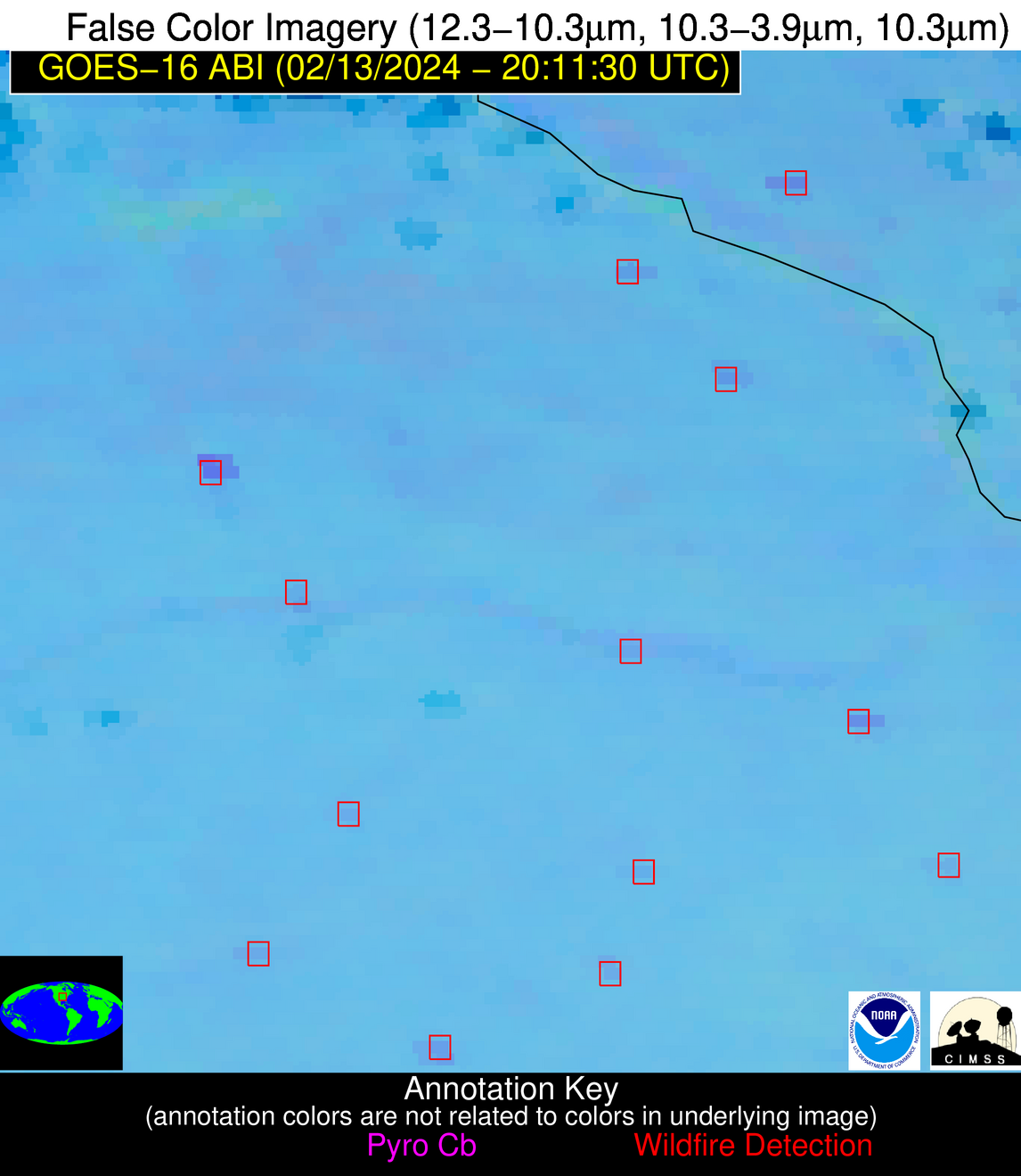
Wildfire Alert Report
| Date: | 2024-02-13 |
|---|---|
| Time: | 20:11:17 |
| Production Date and Time: | 2024-02-13 20:15:52 UTC |
| Primary Instrument: | GOES-16 ABI |
| Wmo Spacecraft Id: | 152 |
| Location/orbit: | GEO |
| L1 File: | OR_ABI-L1b-RadC-M6C14_G16_s20240442011174_e20240442013547_c20240442014025.nc |
| L1 File(s) - Temporal | OR_ABI-L1b-RadC-M6C14_G16_s20240442006174_e20240442008547_c20240442009006.nc |
| Number Of Thermal Anomaly Alerts: | 7 |
Possible Wildfire
| Basic Information | |
|---|---|
| State/Province(s) | MO |
| Country/Countries | USA |
| County/Locality(s) | Holt County, MO |
| NWS WFO | Kansas City/Pleasant Hill MO |
| Identification Method | Enhanced Contextual (Clear) |
| Mean Object Date/Time | 2024-02-13 20:11:50UTC |
| Radiative Center (Lat, Lon): | 40.130000°, -95.240000° |
| Nearby Counties (meeting alert criteria): |
|
| Total Radiative Power Anomaly | n/a |
| Total Radiative Power | 15.21 MW |
| Map: | |
| Additional Information | |
| Alert Status | New Feature |
| Type of Event | Nominal Risk |
| Event Priority Ranking | 4 |
| Maximum Observed BT (3.9 um) | 301.73 K |
| Observed - Background BT (3.9 um) | 4.44 K |
| BT Anomaly (3.9 um) | 3.28 K |
| Maximum Observed - Clear RTM BT (3.9 um) | 20.47 K |
| Maximum Observed BTD (3.9-10/11/12 um) | 13.60 K |
| Observed - Background BTD (3.9-10/11/12 um) | 4.52 K |
| BTD Anomaly (3.9-10/11/12 um) | 10.20 K |
| Similar Pixel Count | 11 |
| BT Time Tendency (3.9 um) | 3.80 K |
| Image Interval | 5.00 minutes |
| Fraction of Surrounding LWIR Pixels that are Colder | 0.38 |
| Fraction of Surrounding Red Channel Pixels that are Brighter | 1.00 |
| Maximum Radiative Power | 15.21 MW |
| Maximum Radiative Power Uncertainty | 0.00 MW |
| Total Radiative Power Uncertainty | 0.00 MW |
| Mean Viewing Angle | 51.10° |
| Mean Solar Zenith Angle | 58.20° |
| Mean Glint Angle | 91.50° |
| Water Fraction | 0.00 |
| Total Pixel Area | 7.50 km2 |
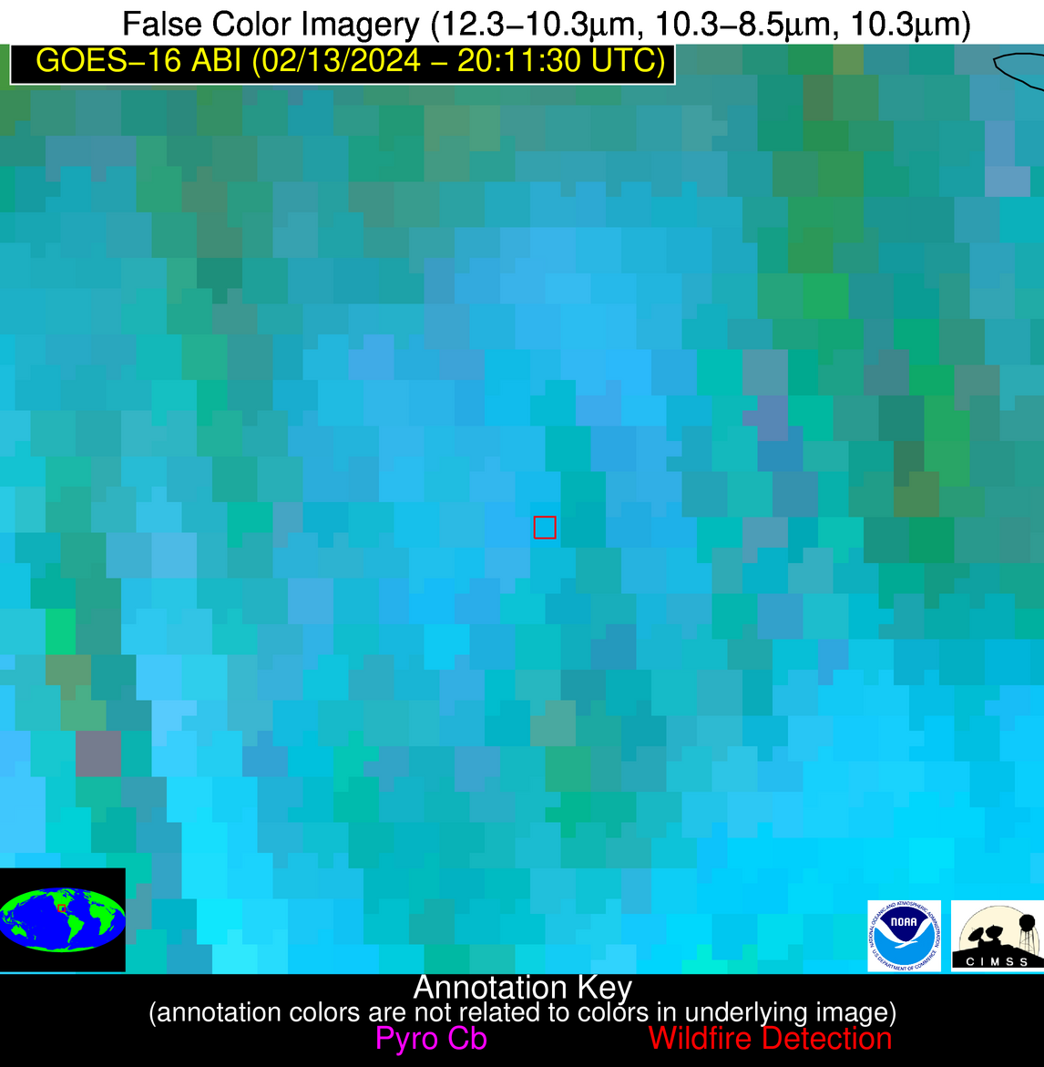
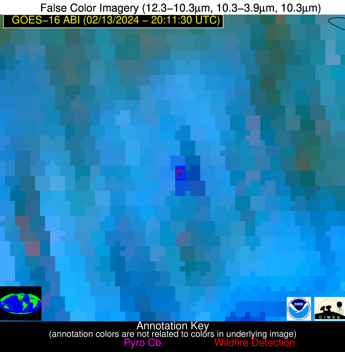
| Latest Satellite Imagery: | |
| View all event imagery » | |
Possible Wildfire
| Basic Information | |
|---|---|
| State/Province(s) | IL |
| Country/Countries | USA |
| County/Locality(s) | Pike County, IL |
| NWS WFO | St Louis MO |
| Identification Method | Enhanced Contextual (Clear) |
| Mean Object Date/Time | 2024-02-13 20:11:51UTC |
| Radiative Center (Lat, Lon): | 39.570000°, -90.920000° |
| Nearby Counties (meeting alert criteria): |
|
| Total Radiative Power Anomaly | n/a |
| Total Radiative Power | 28.67 MW |
| Map: | |
| Additional Information | |
| Alert Status | New Feature |
| Type of Event | Nominal Risk |
| Event Priority Ranking | 4 |
| Maximum Observed BT (3.9 um) | 298.53 K |
| Observed - Background BT (3.9 um) | 5.46 K |
| BT Anomaly (3.9 um) | 5.56 K |
| Maximum Observed - Clear RTM BT (3.9 um) | 18.94 K |
| Maximum Observed BTD (3.9-10/11/12 um) | 13.83 K |
| Observed - Background BTD (3.9-10/11/12 um) | 5.52 K |
| BTD Anomaly (3.9-10/11/12 um) | 8.47 K |
| Similar Pixel Count | 3 |
| BT Time Tendency (3.9 um) | 5.30 K |
| Image Interval | 5.00 minutes |
| Fraction of Surrounding LWIR Pixels that are Colder | 0.49 |
| Fraction of Surrounding Red Channel Pixels that are Brighter | 0.99 |
| Maximum Radiative Power | 15.99 MW |
| Maximum Radiative Power Uncertainty | 0.00 MW |
| Total Radiative Power Uncertainty | 0.00 MW |
| Mean Viewing Angle | 48.80° |
| Mean Solar Zenith Angle | 59.40° |
| Mean Glint Angle | 91.40° |
| Water Fraction | 0.00 |
| Total Pixel Area | 13.90 km2 |
| Latest Satellite Imagery: | |
| View all event imagery » | |
Possible Wildfire
| Basic Information | |
|---|---|
| State/Province(s) | MO |
| Country/Countries | USA |
| County/Locality(s) | Phelps County, MO |
| NWS WFO | Springfield MO |
| Identification Method | Enhanced Contextual (Clear) |
| Mean Object Date/Time | 2024-02-13 20:11:51UTC |
| Radiative Center (Lat, Lon): | 37.990000°, -91.670000° |
| Nearby Counties (meeting alert criteria): |
|
| Total Radiative Power Anomaly | n/a |
| Total Radiative Power | 13.19 MW |
| Map: | |
| Additional Information | |
| Alert Status | New Feature |
| Type of Event | Nominal Risk |
| Event Priority Ranking | 4 |
| Maximum Observed BT (3.9 um) | 295.28 K |
| Observed - Background BT (3.9 um) | 2.44 K |
| BT Anomaly (3.9 um) | 6.50 K |
| Maximum Observed - Clear RTM BT (3.9 um) | 15.28 K |
| Maximum Observed BTD (3.9-10/11/12 um) | 8.98 K |
| Observed - Background BTD (3.9-10/11/12 um) | 2.59 K |
| BTD Anomaly (3.9-10/11/12 um) | 8.31 K |
| Similar Pixel Count | 25 |
| BT Time Tendency (3.9 um) | 2.10 K |
| Image Interval | 5.00 minutes |
| Fraction of Surrounding LWIR Pixels that are Colder | 0.25 |
| Fraction of Surrounding Red Channel Pixels that are Brighter | 1.00 |
| Maximum Radiative Power | 6.84 MW |
| Maximum Radiative Power Uncertainty | 0.00 MW |
| Total Radiative Power Uncertainty | 0.00 MW |
| Mean Viewing Angle | 47.50° |
| Mean Solar Zenith Angle | 57.70° |
| Mean Glint Angle | 88.30° |
| Water Fraction | 0.00 |
| Total Pixel Area | 13.50 km2 |
| Latest Satellite Imagery: | |
| View all event imagery » | |
Possible Wildfire
| Basic Information | |
|---|---|
| State/Province(s) | TX |
| Country/Countries | USA |
| County/Locality(s) | Coryell County, TX |
| NWS WFO | Fort Worth TX |
| Identification Method | Enhanced Contextual (Clear) |
| Mean Object Date/Time | 2024-02-13 20:12:20UTC |
| Radiative Center (Lat, Lon): | 31.490000°, -97.660000° |
| Nearby Counties (meeting alert criteria): |
|
| Total Radiative Power Anomaly | n/a |
| Total Radiative Power | 8.90 MW |
| Map: | |
| Additional Information | |
| Alert Status | New Feature |
| Type of Event | Nominal Risk |
| Event Priority Ranking | 4 |
| Maximum Observed BT (3.9 um) | 299.19 K |
| Observed - Background BT (3.9 um) | 2.66 K |
| BT Anomaly (3.9 um) | 3.04 K |
| Maximum Observed - Clear RTM BT (3.9 um) | 13.47 K |
| Maximum Observed BTD (3.9-10/11/12 um) | 8.05 K |
| Observed - Background BTD (3.9-10/11/12 um) | 3.07 K |
| BTD Anomaly (3.9-10/11/12 um) | 8.57 K |
| Similar Pixel Count | 3 |
| BT Time Tendency (3.9 um) | 1.10 K |
| Image Interval | 5.00 minutes |
| Fraction of Surrounding LWIR Pixels that are Colder | 0.25 |
| Fraction of Surrounding Red Channel Pixels that are Brighter | 1.00 |
| Maximum Radiative Power | 8.90 MW |
| Maximum Radiative Power Uncertainty | 0.00 MW |
| Total Radiative Power Uncertainty | 0.00 MW |
| Mean Viewing Angle | 44.20° |
| Mean Solar Zenith Angle | 49.60° |
| Mean Glint Angle | 75.50° |
| Water Fraction | 0.00 |
| Total Pixel Area | 6.40 km2 |
| Latest Satellite Imagery: | |
| View all event imagery » | |
Possible Wildfire
| Basic Information | |
|---|---|
| State/Province(s) | GA |
| Country/Countries | USA |
| County/Locality(s) | Seminole County, GA |
| NWS WFO | Tallahassee FL |
| Identification Method | Enhanced Contextual (Clear) |
| Mean Object Date/Time | 2024-02-13 20:12:21UTC |
| Radiative Center (Lat, Lon): | 30.810000°, -84.870000° |
| Nearby Counties (meeting alert criteria): |
|
| Total Radiative Power Anomaly | n/a |
| Total Radiative Power | 26.96 MW |
| Map: | |
| Additional Information | |
| Alert Status | New Feature |
| Type of Event | Nominal Risk |
| Event Priority Ranking | 4 |
| Maximum Observed BT (3.9 um) | 304.06 K |
| Observed - Background BT (3.9 um) | 10.69 K |
| BT Anomaly (3.9 um) | 6.12 K |
| Maximum Observed - Clear RTM BT (3.9 um) | 19.09 K |
| Maximum Observed BTD (3.9-10/11/12 um) | 15.45 K |
| Observed - Background BTD (3.9-10/11/12 um) | 10.45 K |
| BTD Anomaly (3.9-10/11/12 um) | 8.40 K |
| Similar Pixel Count | 1 |
| BT Time Tendency (3.9 um) | 6.10 K |
| Image Interval | 5.00 minutes |
| Fraction of Surrounding LWIR Pixels that are Colder | 0.66 |
| Fraction of Surrounding Red Channel Pixels that are Brighter | 1.00 |
| Maximum Radiative Power | 26.96 MW |
| Maximum Radiative Power Uncertainty | 0.00 MW |
| Total Radiative Power Uncertainty | 0.00 MW |
| Mean Viewing Angle | 37.60° |
| Mean Solar Zenith Angle | 55.40° |
| Mean Glint Angle | 78.40° |
| Water Fraction | 0.00 |
| Total Pixel Area | 5.40 km2 |
| Latest Satellite Imagery: | |
| View all event imagery » | |
Possible Wildfire
| Basic Information | |
|---|---|
| State/Province(s) | TX |
| Country/Countries | USA |
| County/Locality(s) | Brooks County, TX |
| NWS WFO | Brownsville TX |
| Identification Method | Enhanced Contextual (Cloud) |
| Mean Object Date/Time | 2024-02-13 20:12:49UTC |
| Radiative Center (Lat, Lon): | 27.030000°, -98.020000° |
| Nearby Counties (meeting alert criteria): |
|
| Total Radiative Power Anomaly | n/a |
| Total Radiative Power | 63.09 MW |
| Map: | |
| Additional Information | |
| Alert Status | New Feature |
| Type of Event | Nominal Risk |
| Event Priority Ranking | 4 |
| Maximum Observed BT (3.9 um) | 313.64 K |
| Observed - Background BT (3.9 um) | 16.82 K |
| BT Anomaly (3.9 um) | 17.52 K |
| Maximum Observed - Clear RTM BT (3.9 um) | 20.86 K |
| Maximum Observed BTD (3.9-10/11/12 um) | 29.27 K |
| Observed - Background BTD (3.9-10/11/12 um) | 16.70 K |
| BTD Anomaly (3.9-10/11/12 um) | 17.59 K |
| Similar Pixel Count | 0 |
| BT Time Tendency (3.9 um) | 14.40 K |
| Image Interval | 5.00 minutes |
| Fraction of Surrounding LWIR Pixels that are Colder | 0.78 |
| Fraction of Surrounding Red Channel Pixels that are Brighter | 0.97 |
| Maximum Radiative Power | 63.09 MW |
| Maximum Radiative Power Uncertainty | 0.00 MW |
| Total Radiative Power Uncertainty | 0.00 MW |
| Mean Viewing Angle | 40.60° |
| Mean Solar Zenith Angle | 45.60° |
| Mean Glint Angle | 67.00° |
| Water Fraction | 0.00 |
| Total Pixel Area | 5.90 km2 |
| Latest Satellite Imagery: | |
| View all event imagery » | |
Possible Wildfire
| Basic Information | |
|---|---|
| State/Province(s) | Unknown |
| Country/Countries | Cuba |
| County/Locality(s) | Cuba |
| NWS WFO | N/A |
| Identification Method | Enhanced Contextual (Clear) |
| Mean Object Date/Time | 2024-02-13 20:13:22UTC |
| Radiative Center (Lat, Lon): | 21.920000°, -80.260000° |
| Nearby Counties (meeting alert criteria): |
|
| Total Radiative Power Anomaly | n/a |
| Total Radiative Power | 9.50 MW |
| Map: | |
| Additional Information | |
| Alert Status | New Feature |
| Type of Event | Nominal Risk |
| Event Priority Ranking | 4 |
| Maximum Observed BT (3.9 um) | 306.91 K |
| Observed - Background BT (3.9 um) | 5.79 K |
| BT Anomaly (3.9 um) | 2.85 K |
| Maximum Observed - Clear RTM BT (3.9 um) | 10.63 K |
| Maximum Observed BTD (3.9-10/11/12 um) | 10.98 K |
| Observed - Background BTD (3.9-10/11/12 um) | 4.78 K |
| BTD Anomaly (3.9-10/11/12 um) | 3.88 K |
| Similar Pixel Count | 10 |
| BT Time Tendency (3.9 um) | 2.10 K |
| Image Interval | 5.00 minutes |
| Fraction of Surrounding LWIR Pixels that are Colder | 0.93 |
| Fraction of Surrounding Red Channel Pixels that are Brighter | 1.00 |
| Maximum Radiative Power | 9.50 MW |
| Maximum Radiative Power Uncertainty | 0.00 MW |
| Total Radiative Power Uncertainty | 0.00 MW |
| Mean Viewing Angle | 26.40° |
| Mean Solar Zenith Angle | 52.20° |
| Mean Glint Angle | 66.70° |
| Water Fraction | 0.00 |
| Total Pixel Area | 4.70 km2 |
| Latest Satellite Imagery: | |
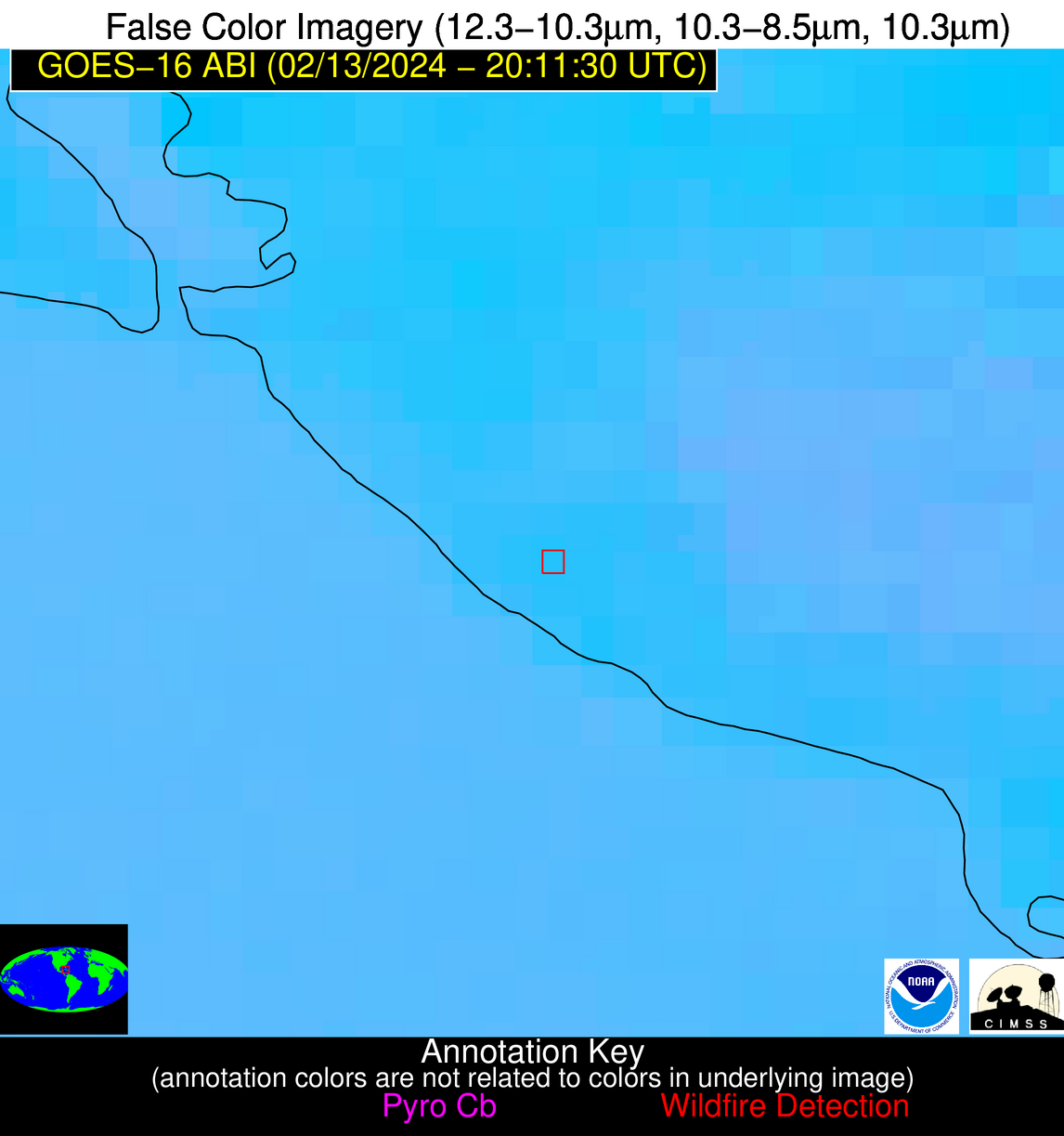
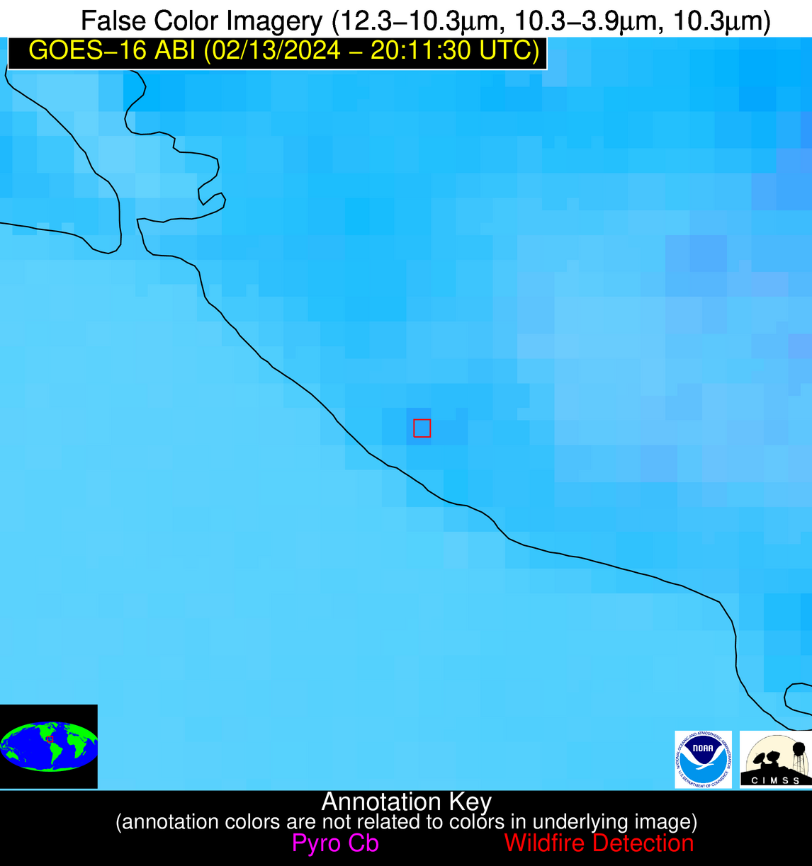
| View all event imagery » | |
