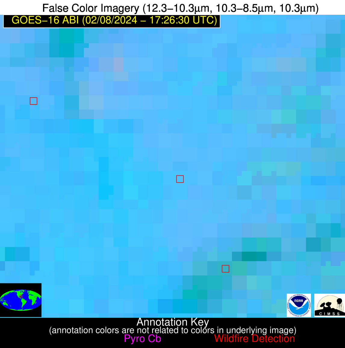
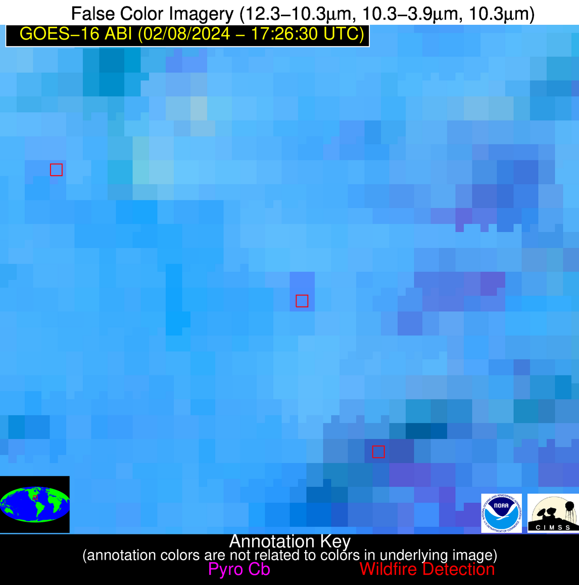
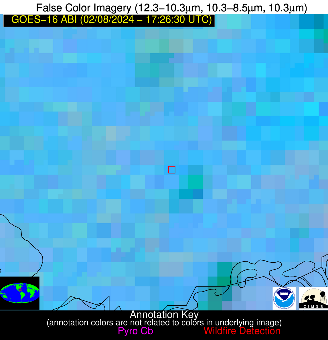
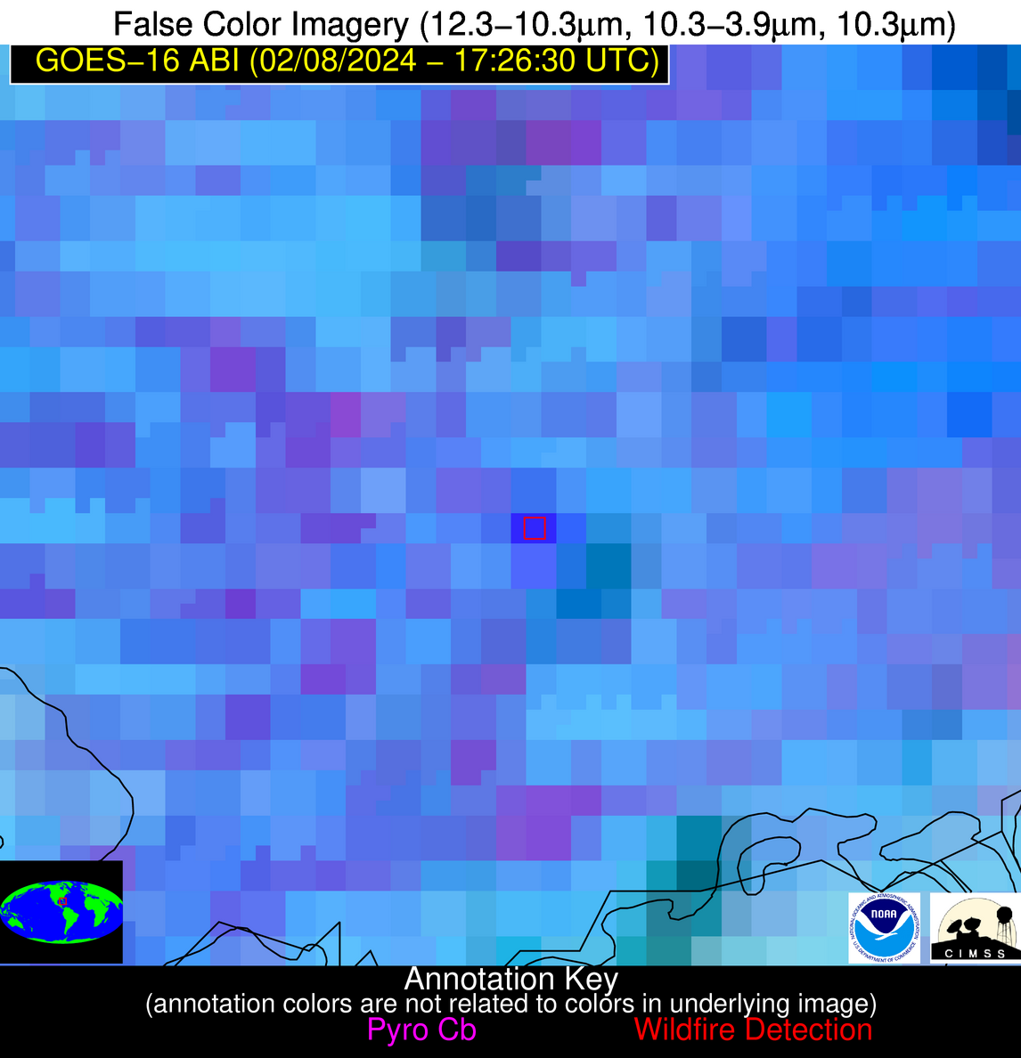
Wildfire Alert Report
| Date: | 2024-02-08 |
|---|---|
| Time: | 17:26:17 |
| Production Date and Time: | 2024-02-08 17:31:04 UTC |
| Primary Instrument: | GOES-16 ABI |
| Wmo Spacecraft Id: | 152 |
| Location/orbit: | GEO |
| L1 File: | OR_ABI-L1b-RadC-M6C14_G16_s20240391726171_e20240391728544_c20240391729008.nc |
| L1 File(s) - Temporal | OR_ABI-L1b-RadC-M6C14_G16_s20240391721171_e20240391723544_c20240391724039.nc |
| Number Of Thermal Anomaly Alerts: | 4 |
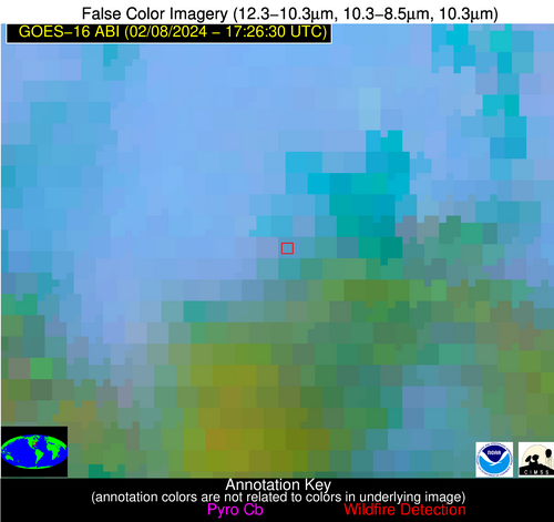
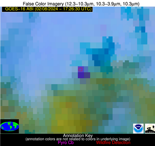
Possible Wildfire
| Basic Information | |
|---|---|
| State/Province(s) | TN |
| Country/Countries | USA |
| County/Locality(s) | Grundy County, TN |
| NWS WFO | Nashville TN |
| Identification Method | Enhanced Contextual (Cloud) |
| Mean Object Date/Time | 2024-02-08 17:27:21UTC |
| Radiative Center (Lat, Lon): | 35.500000°, -85.580000° |
| Nearby Counties (meeting alert criteria): |
|
| Total Radiative Power Anomaly | n/a |
| Total Radiative Power | 75.71 MW |
| Map: | |
| Additional Information | |
| Alert Status | New Feature |
| Type of Event | Nominal Risk |
| Event Priority Ranking | 4 |
| Maximum Observed BT (3.9 um) | 302.63 K |
| Observed - Background BT (3.9 um) | 12.99 K |
| BT Anomaly (3.9 um) | 4.68 K |
| Maximum Observed - Clear RTM BT (3.9 um) | 21.92 K |
| Maximum Observed BTD (3.9-10/11/12 um) | 23.47 K |
| Observed - Background BTD (3.9-10/11/12 um) | 12.68 K |
| BTD Anomaly (3.9-10/11/12 um) | 5.96 K |
| Similar Pixel Count | 0 |
| BT Time Tendency (3.9 um) | 11.40 K |
| Image Interval | 5.00 minutes |
| Fraction of Surrounding LWIR Pixels that are Colder | 0.51 |
| Fraction of Surrounding Red Channel Pixels that are Brighter | 1.00 |
| Maximum Radiative Power | 45.42 MW |
| Maximum Radiative Power Uncertainty | 0.00 MW |
| Total Radiative Power Uncertainty | 0.00 MW |
| Mean Viewing Angle | 42.90° |
| Mean Solar Zenith Angle | 51.20° |
| Mean Glint Angle | 93.70° |
| Water Fraction | 0.00 |
| Total Pixel Area | 12.00 km2 |
| Latest Satellite Imagery: | |
| View all event imagery » | |
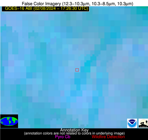
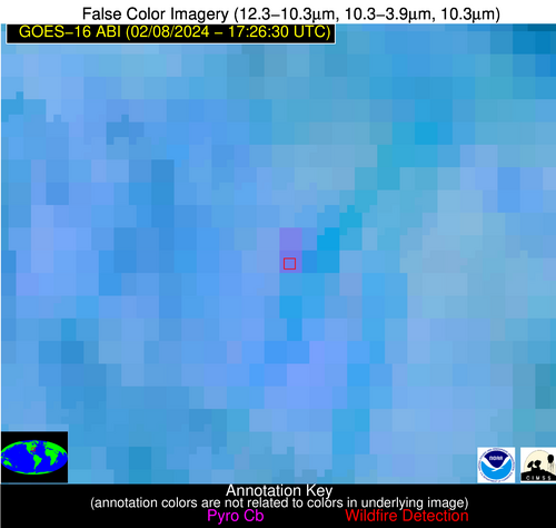
Possible Wildfire
| Basic Information | |
|---|---|
| State/Province(s) | SC |
| Country/Countries | USA |
| County/Locality(s) | Darlington County, SC |
| NWS WFO | Wilmington NC |
| Identification Method | Enhanced Contextual (Clear) |
| Mean Object Date/Time | 2024-02-08 17:27:22UTC |
| Radiative Center (Lat, Lon): | 34.290000°, -79.800000° |
| Nearby Counties (meeting alert criteria): |
|
| Total Radiative Power Anomaly | n/a |
| Total Radiative Power | 17.68 MW |
| Map: | |
| Additional Information | |
| Alert Status | New Feature |
| Type of Event | Nominal Risk |
| Event Priority Ranking | 4 |
| Maximum Observed BT (3.9 um) | 302.28 K |
| Observed - Background BT (3.9 um) | 6.01 K |
| BT Anomaly (3.9 um) | 3.31 K |
| Maximum Observed - Clear RTM BT (3.9 um) | 15.41 K |
| Maximum Observed BTD (3.9-10/11/12 um) | 15.31 K |
| Observed - Background BTD (3.9-10/11/12 um) | 5.61 K |
| BTD Anomaly (3.9-10/11/12 um) | 4.19 K |
| Similar Pixel Count | 12 |
| BT Time Tendency (3.9 um) | 0.90 K |
| Image Interval | 5.00 minutes |
| Fraction of Surrounding LWIR Pixels that are Colder | 0.76 |
| Fraction of Surrounding Red Channel Pixels that are Brighter | 0.98 |
| Maximum Radiative Power | 17.68 MW |
| Maximum Radiative Power Uncertainty | 0.00 MW |
| Total Radiative Power Uncertainty | 0.00 MW |
| Mean Viewing Angle | 40.30° |
| Mean Solar Zenith Angle | 49.50° |
| Mean Glint Angle | 89.70° |
| Water Fraction | 0.00 |
| Total Pixel Area | 5.70 km2 |
| Latest Satellite Imagery: | |
| View all event imagery » | |
Possible Wildfire
| Basic Information | |
|---|---|
| State/Province(s) | FL |
| Country/Countries | USA |
| County/Locality(s) | Marion County, FL |
| NWS WFO | Jacksonville FL |
| Identification Method | Enhanced Contextual (Clear) |
| Mean Object Date/Time | 2024-02-08 17:27:52UTC |
| Radiative Center (Lat, Lon): | 29.320000°, -82.020000° |
| Nearby Counties (meeting alert criteria): |
|
| Total Radiative Power Anomaly | n/a |
| Total Radiative Power | 26.38 MW |
| Map: | |
| Additional Information | |
| Alert Status | New Feature |
| Type of Event | Nominal Risk |
| Event Priority Ranking | 4 |
| Maximum Observed BT (3.9 um) | 305.61 K |
| Observed - Background BT (3.9 um) | 4.87 K |
| BT Anomaly (3.9 um) | 2.01 K |
| Maximum Observed - Clear RTM BT (3.9 um) | 12.04 K |
| Maximum Observed BTD (3.9-10/11/12 um) | 13.57 K |
| Observed - Background BTD (3.9-10/11/12 um) | 4.77 K |
| BTD Anomaly (3.9-10/11/12 um) | 3.39 K |
| Similar Pixel Count | 7 |
| BT Time Tendency (3.9 um) | 5.20 K |
| Image Interval | 5.00 minutes |
| Fraction of Surrounding LWIR Pixels that are Colder | 0.69 |
| Fraction of Surrounding Red Channel Pixels that are Brighter | 0.94 |
| Maximum Radiative Power | 13.53 MW |
| Maximum Radiative Power Uncertainty | 0.00 MW |
| Total Radiative Power Uncertainty | 0.00 MW |
| Mean Viewing Angle | 35.20° |
| Mean Solar Zenith Angle | 44.70° |
| Mean Glint Angle | 79.60° |
| Water Fraction | 0.00 |
| Total Pixel Area | 10.40 km2 |
| Latest Satellite Imagery: | |
| View all event imagery » | |
Possible Wildfire
| Basic Information | |
|---|---|
| State/Province(s) | FL |
| Country/Countries | USA |
| County/Locality(s) | Miami-Dade County, FL |
| NWS WFO | Miami FL |
| Identification Method | Enhanced Contextual (Cloud) |
| Mean Object Date/Time | 2024-02-08 17:27:52UTC |
| Radiative Center (Lat, Lon): | 25.400000°, -80.690000° |
| Nearby Counties (meeting alert criteria): |
|
| Total Radiative Power Anomaly | n/a |
| Total Radiative Power | 65.36 MW |
| Map: | |
| Additional Information | |
| Alert Status | New Feature |
| Type of Event | Nominal Risk |
| Event Priority Ranking | 4 |
| Maximum Observed BT (3.9 um) | 317.98 K |
| Observed - Background BT (3.9 um) | 17.54 K |
| BT Anomaly (3.9 um) | 9.02 K |
| Maximum Observed - Clear RTM BT (3.9 um) | 22.26 K |
| Maximum Observed BTD (3.9-10/11/12 um) | 28.55 K |
| Observed - Background BTD (3.9-10/11/12 um) | 17.11 K |
| BTD Anomaly (3.9-10/11/12 um) | 7.01 K |
| Similar Pixel Count | 0 |
| BT Time Tendency (3.9 um) | 4.60 K |
| Image Interval | 5.00 minutes |
| Fraction of Surrounding LWIR Pixels that are Colder | 0.79 |
| Fraction of Surrounding Red Channel Pixels that are Brighter | 0.82 |
| Maximum Radiative Power | 65.36 MW |
| Maximum Radiative Power Uncertainty | 0.00 MW |
| Total Radiative Power Uncertainty | 0.00 MW |
| Mean Viewing Angle | 30.50° |
| Mean Solar Zenith Angle | 40.70° |
| Mean Glint Angle | 70.90° |
| Water Fraction | 0.00 |
| Total Pixel Area | 4.90 km2 |
| Latest Satellite Imagery: | |
| View all event imagery » | |
