Wildfire Alert Report
| Date: | 2024-02-06 |
|---|---|
| Time: | 20:52:54 |
| Production Date and Time: | 2024-02-06 20:53:35 UTC |
| Primary Instrument: | GOES-16 ABI |
| Wmo Spacecraft Id: | 152 |
| Location/orbit: | GEO |
| L1 File: | OR_ABI-L1b-RadM2-M6C14_G16_s20240372052549_e20240372053006_c20240372053066.nc |
| L1 File(s) - Temporal | OR_ABI-L1b-RadM2-M6C14_G16_s20240372050549_e20240372051006_c20240372051061.nc |
| Number Of Thermal Anomaly Alerts: | 2 |
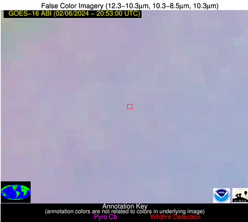
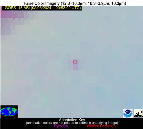
Possible Wildfire
| Basic Information | |
|---|---|
| State/Province(s) | IL |
| Country/Countries | USA |
| County/Locality(s) | Jasper County, IL |
| NWS WFO | Lincoln IL |
| Identification Method | Enhanced Contextual (Clear) |
| Mean Object Date/Time | 2024-02-06 20:52:56UTC |
| Radiative Center (Lat, Lon): | 39.110000°, -88.160000° |
| Nearby Counties (meeting alert criteria): |
|
| Total Radiative Power Anomaly | n/a |
| Total Radiative Power | 15.98 MW |
| Map: | |
| Additional Information | |
| Alert Status | New Feature |
| Type of Event | Nominal Risk |
| Event Priority Ranking | 4 |
| Maximum Observed BT (3.9 um) | 290.15 K |
| Observed - Background BT (3.9 um) | 4.39 K |
| BT Anomaly (3.9 um) | 5.32 K |
| Maximum Observed - Clear RTM BT (3.9 um) | 11.65 K |
| Maximum Observed BTD (3.9-10/11/12 um) | 8.76 K |
| Observed - Background BTD (3.9-10/11/12 um) | 4.22 K |
| BTD Anomaly (3.9-10/11/12 um) | 13.40 K |
| Similar Pixel Count | 3 |
| BT Time Tendency (3.9 um) | 3.30 K |
| Image Interval | 2.00 minutes |
| Fraction of Surrounding LWIR Pixels that are Colder | 0.59 |
| Fraction of Surrounding Red Channel Pixels that are Brighter | 1.00 |
| Maximum Radiative Power | 8.38 MW |
| Maximum Radiative Power Uncertainty | 0.00 MW |
| Total Radiative Power Uncertainty | 0.00 MW |
| Mean Viewing Angle | 47.50° |
| Mean Solar Zenith Angle | 67.20° |
| Mean Glint Angle | 92.10° |
| Water Fraction | 0.00 |
| Total Pixel Area | 13.30 km2 |
| Latest Satellite Imagery: | |
| View all event imagery » | |
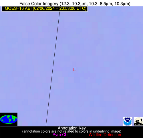
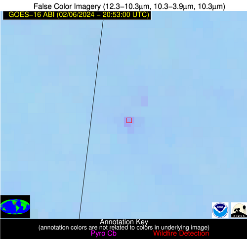
Possible Wildfire
| Basic Information | |
|---|---|
| State/Province(s) | AL |
| Country/Countries | USA |
| County/Locality(s) | Sumter County, AL |
| NWS WFO | Birmingham AL |
| Identification Method | Enhanced Contextual (Clear) |
| Mean Object Date/Time | 2024-02-06 20:52:58UTC |
| Radiative Center (Lat, Lon): | 32.720000°, -88.270000° |
| Nearby Counties (meeting alert criteria): |
|
| Total Radiative Power Anomaly | n/a |
| Total Radiative Power | 12.68 MW |
| Map: | |
| Additional Information | |
| Alert Status | New Feature |
| Type of Event | Nominal Risk |
| Event Priority Ranking | 4 |
| Maximum Observed BT (3.9 um) | 297.95 K |
| Observed - Background BT (3.9 um) | 5.93 K |
| BT Anomaly (3.9 um) | 13.22 K |
| Maximum Observed - Clear RTM BT (3.9 um) | 14.35 K |
| Maximum Observed BTD (3.9-10/11/12 um) | 8.19 K |
| Observed - Background BTD (3.9-10/11/12 um) | 5.72 K |
| BTD Anomaly (3.9-10/11/12 um) | 14.67 K |
| Similar Pixel Count | 2 |
| BT Time Tendency (3.9 um) | 3.60 K |
| Image Interval | 2.00 minutes |
| Fraction of Surrounding LWIR Pixels that are Colder | 0.74 |
| Fraction of Surrounding Red Channel Pixels that are Brighter | 1.00 |
| Maximum Radiative Power | 12.68 MW |
| Maximum Radiative Power Uncertainty | 0.00 MW |
| Total Radiative Power Uncertainty | 0.00 MW |
| Mean Viewing Angle | 40.80° |
| Mean Solar Zenith Angle | 62.60° |
| Mean Glint Angle | 81.90° |
| Water Fraction | 0.00 |
| Total Pixel Area | 5.80 km2 |
| Latest Satellite Imagery: | |
| View all event imagery » | |


