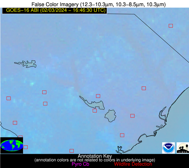
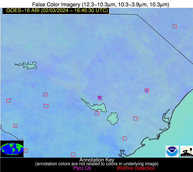
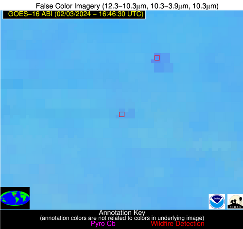
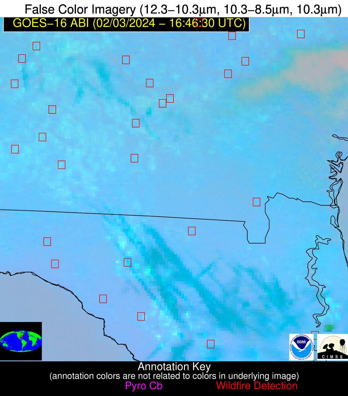
Wildfire Alert Report
| Date: | 2024-02-03 |
|---|---|
| Time: | 16:46:17 |
| Production Date and Time: | 2024-02-03 16:51:03 UTC |
| Primary Instrument: | GOES-16 ABI |
| Wmo Spacecraft Id: | 152 |
| Location/orbit: | GEO |
| L1 File: | OR_ABI-L1b-RadC-M6C14_G16_s20240341646176_e20240341648549_c20240341649035.nc |
| L1 File(s) - Temporal | OR_ABI-L1b-RadC-M6C14_G16_s20240341641176_e20240341643549_c20240341644026.nc |
| Number Of Thermal Anomaly Alerts: | 14 |
Possible Wildfire
| Basic Information | |
|---|---|
| State/Province(s) | IL |
| Country/Countries | USA |
| County/Locality(s) | St. Clair County, IL |
| NWS WFO | St Louis MO |
| Identification Method | Enhanced Contextual (Clear) |
| Mean Object Date/Time | 2024-02-03 16:46:51UTC |
| Radiative Center (Lat, Lon): | 38.330°, -89.820° |
| Nearby Counties (meeting alert criteria): |
|
| Total Radiative Power Anomaly | n/a |
| Total Radiative Power | 8.08 MW |
| Map: | |
| Additional Information | |
| Alert Status | New Feature |
| Type of Event | Nominal Risk |
| Event Priority Ranking | 4 |
| Maximum Observed BT (3.9 um) | 290.80 K |
| Observed - Background BT (3.9 um) | 3.60 K |
| BT Anomaly (3.9 um) | 5.47 K |
| Maximum Observed - Clear RTM BT (3.9 um) | 9.56 K |
| Maximum Observed BTD (3.9-10/11/12 um) | 17.69 K |
| Observed - Background BTD (3.9-10/11/12 um) | 3.44 K |
| BTD Anomaly (3.9-10/11/12 um) | 3.58 K |
| Similar Pixel Count | 25 |
| BT Time Tendency (3.9 um) | 2.10 K |
| Image Interval | 5.00 minutes |
| Fraction of Surrounding LWIR Pixels that are Colder | 0.62 |
| Fraction of Surrounding Red Channel Pixels that are Brighter | 1.00 |
| Maximum Radiative Power | 8.08 MW |
| Maximum Radiative Power Uncertainty | 0.00 MW |
| Total Radiative Power Uncertainty | 0.00 MW |
| Mean Viewing Angle | 47.20° |
| Mean Solar Zenith Angle | 58.60° |
| Mean Glint Angle | 105.70° |
| Water Fraction | 0.00 |
| Total Pixel Area | 6.70 km2 |
| Latest Satellite Imagery: | |
| View all event imagery » | |
Possible Wildfire
| Basic Information | |
|---|---|
| State/Province(s) | NM |
| Country/Countries | USA |
| County/Locality(s) | Colfax County, NM |
| NWS WFO | Albuquerque NM |
| Identification Method | Enhanced Contextual (Cloud) |
| Mean Object Date/Time | 2024-02-03 16:47:19UTC |
| Radiative Center (Lat, Lon): | 36.410°, -104.950° |
| Nearby Counties (meeting alert criteria): |
|
| Total Radiative Power Anomaly | n/a |
| Total Radiative Power | 20.54 MW |
| Map: | |
| Additional Information | |
| Alert Status | New Feature |
| Type of Event | Nominal Risk |
| Event Priority Ranking | 4 |
| Maximum Observed BT (3.9 um) | 290.03 K |
| Observed - Background BT (3.9 um) | 10.03 K |
| BT Anomaly (3.9 um) | 3.64 K |
| Maximum Observed - Clear RTM BT (3.9 um) | 14.49 K |
| Maximum Observed BTD (3.9-10/11/12 um) | 20.23 K |
| Observed - Background BTD (3.9-10/11/12 um) | 9.94 K |
| BTD Anomaly (3.9-10/11/12 um) | 4.08 K |
| Similar Pixel Count | 0 |
| BT Time Tendency (3.9 um) | 5.50 K |
| Image Interval | 5.00 minutes |
| Fraction of Surrounding LWIR Pixels that are Colder | 0.95 |
| Fraction of Surrounding Red Channel Pixels that are Brighter | 0.87 |
| Maximum Radiative Power | 20.54 MW |
| Maximum Radiative Power Uncertainty | 0.00 MW |
| Total Radiative Power Uncertainty | 0.00 MW |
| Mean Viewing Angle | 52.90° |
| Mean Solar Zenith Angle | 63.40° |
| Mean Glint Angle | 116.10° |
| Water Fraction | 0.00 |
| Total Pixel Area | 8.30 km2 |
| Latest Satellite Imagery: | |
| View all event imagery » | |
Possible Wildfire
| Basic Information | |
|---|---|
| State/Province(s) | NC |
| Country/Countries | USA |
| County/Locality(s) | Robeson County, NC |
| NWS WFO | Wilmington NC |
| Identification Method | Enhanced Contextual (Clear) |
| Mean Object Date/Time | 2024-02-03 16:47:22UTC |
| Radiative Center (Lat, Lon): | 34.630°, -79.120° |
| Nearby Counties (meeting alert criteria): |
|
| Total Radiative Power Anomaly | n/a |
| Total Radiative Power | 4.96 MW |
| Map: | |
| Additional Information | |
| Alert Status | New Feature |
| Type of Event | Nominal Risk |
| Event Priority Ranking | 4 |
| Maximum Observed BT (3.9 um) | 295.33 K |
| Observed - Background BT (3.9 um) | 1.60 K |
| BT Anomaly (3.9 um) | 1.64 K |
| Maximum Observed - Clear RTM BT (3.9 um) | 12.72 K |
| Maximum Observed BTD (3.9-10/11/12 um) | 9.89 K |
| Observed - Background BTD (3.9-10/11/12 um) | 2.32 K |
| BTD Anomaly (3.9-10/11/12 um) | 5.18 K |
| Similar Pixel Count | 25 |
| BT Time Tendency (3.9 um) | 2.60 K |
| Image Interval | 5.00 minutes |
| Fraction of Surrounding LWIR Pixels that are Colder | 0.09 |
| Fraction of Surrounding Red Channel Pixels that are Brighter | 1.00 |
| Maximum Radiative Power | 4.96 MW |
| Maximum Radiative Power Uncertainty | 0.00 MW |
| Total Radiative Power Uncertainty | 0.00 MW |
| Mean Viewing Angle | 40.60° |
| Mean Solar Zenith Angle | 52.30° |
| Mean Glint Angle | 92.70° |
| Water Fraction | 0.00 |
| Total Pixel Area | 5.70 km2 |
| Latest Satellite Imagery: | |
| View all event imagery » | |
Possible Wildfire
| Basic Information | |
|---|---|
| State/Province(s) | AL |
| Country/Countries | USA |
| County/Locality(s) | Winston County, AL |
| NWS WFO | Birmingham AL |
| Identification Method | Enhanced Contextual (Clear) |
| Mean Object Date/Time | 2024-02-03 16:47:21UTC |
| Radiative Center (Lat, Lon): | 34.090°, -87.400° |
| Nearby Counties (meeting alert criteria): |
|
| Total Radiative Power Anomaly | n/a |
| Total Radiative Power | 11.49 MW |
| Map: | |
| Additional Information | |
| Alert Status | New Feature |
| Type of Event | Nominal Risk |
| Event Priority Ranking | 4 |
| Maximum Observed BT (3.9 um) | 296.36 K |
| Observed - Background BT (3.9 um) | 1.86 K |
| BT Anomaly (3.9 um) | 1.68 K |
| Maximum Observed - Clear RTM BT (3.9 um) | 10.37 K |
| Maximum Observed BTD (3.9-10/11/12 um) | 9.85 K |
| Observed - Background BTD (3.9-10/11/12 um) | 2.50 K |
| BTD Anomaly (3.9-10/11/12 um) | 3.25 K |
| Similar Pixel Count | 22 |
| BT Time Tendency (3.9 um) | 1.70 K |
| Image Interval | 5.00 minutes |
| Fraction of Surrounding LWIR Pixels that are Colder | 0.12 |
| Fraction of Surrounding Red Channel Pixels that are Brighter | 1.00 |
| Maximum Radiative Power | 11.49 MW |
| Maximum Radiative Power Uncertainty | 0.00 MW |
| Total Radiative Power Uncertainty | 0.00 MW |
| Mean Viewing Angle | 41.90° |
| Mean Solar Zenith Angle | 53.90° |
| Mean Glint Angle | 95.80° |
| Water Fraction | 0.00 |
| Total Pixel Area | 11.80 km2 |
| Latest Satellite Imagery: | |
| View all event imagery » | |
Possible Wildfire
| Basic Information | |
|---|---|
| State/Province(s) | SC |
| Country/Countries | USA |
| County/Locality(s) | Orangeburg County, SC |
| NWS WFO | Columbia SC |
| Identification Method | Enhanced Contextual (Clear) |
| Mean Object Date/Time | 2024-02-03 16:47:22UTC |
| Radiative Center (Lat, Lon): | 33.480°, -81.070° |
| Nearby Counties (meeting alert criteria): |
|
| Total Radiative Power Anomaly | n/a |
| Total Radiative Power | 4.23 MW |
| Map: | |
| Additional Information | |
| Alert Status | New Feature |
| Type of Event | Nominal Risk |
| Event Priority Ranking | 4 |
| Maximum Observed BT (3.9 um) | 296.41 K |
| Observed - Background BT (3.9 um) | 2.57 K |
| BT Anomaly (3.9 um) | 2.35 K |
| Maximum Observed - Clear RTM BT (3.9 um) | 11.58 K |
| Maximum Observed BTD (3.9-10/11/12 um) | 9.24 K |
| Observed - Background BTD (3.9-10/11/12 um) | 2.17 K |
| BTD Anomaly (3.9-10/11/12 um) | 3.31 K |
| Similar Pixel Count | 25 |
| BT Time Tendency (3.9 um) | 1.50 K |
| Image Interval | 5.00 minutes |
| Fraction of Surrounding LWIR Pixels that are Colder | 0.74 |
| Fraction of Surrounding Red Channel Pixels that are Brighter | 1.00 |
| Maximum Radiative Power | 4.23 MW |
| Maximum Radiative Power Uncertainty | 0.00 MW |
| Total Radiative Power Uncertainty | 0.00 MW |
| Mean Viewing Angle | 39.60° |
| Mean Solar Zenith Angle | 51.60° |
| Mean Glint Angle | 91.10° |
| Water Fraction | 0.00 |
| Total Pixel Area | 5.60 km2 |
| Latest Satellite Imagery: | |
| View all event imagery » | |
Possible Wildfire
| Basic Information | |
|---|---|
| State/Province(s) | SC |
| Country/Countries | USA |
| County/Locality(s) | Allendale County, SC |
| NWS WFO | Charleston SC |
| Identification Method | Enhanced Contextual (Clear) |
| Mean Object Date/Time | 2024-02-03 16:47:22UTC |
| Radiative Center (Lat, Lon): | 32.980°, -81.450° |
| Nearby Counties (meeting alert criteria): |
|
| Total Radiative Power Anomaly | n/a |
| Total Radiative Power | 7.45 MW |
| Map: | |
| Additional Information | |
| Alert Status | New Feature |
| Type of Event | Nominal Risk |
| Event Priority Ranking | 4 |
| Maximum Observed BT (3.9 um) | 296.36 K |
| Observed - Background BT (3.9 um) | 2.69 K |
| BT Anomaly (3.9 um) | 1.43 K |
| Maximum Observed - Clear RTM BT (3.9 um) | 10.47 K |
| Maximum Observed BTD (3.9-10/11/12 um) | 9.82 K |
| Observed - Background BTD (3.9-10/11/12 um) | 2.87 K |
| BTD Anomaly (3.9-10/11/12 um) | 2.63 K |
| Similar Pixel Count | 9 |
| BT Time Tendency (3.9 um) | 3.60 K |
| Image Interval | 5.00 minutes |
| Fraction of Surrounding LWIR Pixels that are Colder | 0.49 |
| Fraction of Surrounding Red Channel Pixels that are Brighter | 1.00 |
| Maximum Radiative Power | 7.45 MW |
| Maximum Radiative Power Uncertainty | 0.00 MW |
| Total Radiative Power Uncertainty | 0.00 MW |
| Mean Viewing Angle | 39.10° |
| Mean Solar Zenith Angle | 51.20° |
| Mean Glint Angle | 90.20° |
| Water Fraction | 0.00 |
| Total Pixel Area | 5.60 km2 |
| Latest Satellite Imagery: | |
| View all event imagery » | |
Possible Wildfire
| Basic Information | |
|---|---|
| State/Province(s) | GA |
| Country/Countries | USA |
| County/Locality(s) | Dooly County, GA |
| NWS WFO | Peachtree City GA |
| Identification Method | Enhanced Contextual (Cloud) |
| Mean Object Date/Time | 2024-02-03 16:47:21UTC |
| Radiative Center (Lat, Lon): | 32.190°, -83.970° |
| Nearby Counties (meeting alert criteria): |
|
| Total Radiative Power Anomaly | n/a |
| Total Radiative Power | 30.83 MW |
| Map: | |
| Additional Information | |
| Alert Status | New Feature |
| Type of Event | Nominal Risk |
| Event Priority Ranking | 4 |
| Maximum Observed BT (3.9 um) | 307.21 K |
| Observed - Background BT (3.9 um) | 11.86 K |
| BT Anomaly (3.9 um) | 8.89 K |
| Maximum Observed - Clear RTM BT (3.9 um) | 20.05 K |
| Maximum Observed BTD (3.9-10/11/12 um) | 20.04 K |
| Observed - Background BTD (3.9-10/11/12 um) | 11.73 K |
| BTD Anomaly (3.9-10/11/12 um) | 12.50 K |
| Similar Pixel Count | 0 |
| BT Time Tendency (3.9 um) | 11.40 K |
| Image Interval | 5.00 minutes |
| Fraction of Surrounding LWIR Pixels that are Colder | 0.51 |
| Fraction of Surrounding Red Channel Pixels that are Brighter | 0.94 |
| Maximum Radiative Power | 30.83 MW |
| Maximum Radiative Power Uncertainty | 0.00 MW |
| Total Radiative Power Uncertainty | 0.00 MW |
| Mean Viewing Angle | 38.80° |
| Mean Solar Zenith Angle | 51.10° |
| Mean Glint Angle | 89.90° |
| Water Fraction | 0.00 |
| Total Pixel Area | 5.50 km2 |
| Latest Satellite Imagery: | |
| View all event imagery » | |
Possible Wildfire
| Basic Information | |
|---|---|
| State/Province(s) | GA |
| Country/Countries | USA |
| County/Locality(s) | Worth County, GA |
| NWS WFO | Tallahassee FL |
| Identification Method | Enhanced Contextual (Clear) |
| Mean Object Date/Time | 2024-02-03 16:47:21UTC |
| Radiative Center (Lat, Lon): | 31.600°, -83.830° |
| Nearby Counties (meeting alert criteria): |
|
| Total Radiative Power Anomaly | n/a |
| Total Radiative Power | 8.09 MW |
| Map: | |
| Additional Information | |
| Alert Status | New Feature |
| Type of Event | Nominal Risk |
| Event Priority Ranking | 4 |
| Maximum Observed BT (3.9 um) | 299.23 K |
| Observed - Background BT (3.9 um) | 2.34 K |
| BT Anomaly (3.9 um) | 1.89 K |
| Maximum Observed - Clear RTM BT (3.9 um) | 11.20 K |
| Maximum Observed BTD (3.9-10/11/12 um) | 11.11 K |
| Observed - Background BTD (3.9-10/11/12 um) | 2.79 K |
| BTD Anomaly (3.9-10/11/12 um) | 3.33 K |
| Similar Pixel Count | 23 |
| BT Time Tendency (3.9 um) | 2.10 K |
| Image Interval | 5.00 minutes |
| Fraction of Surrounding LWIR Pixels that are Colder | 0.17 |
| Fraction of Surrounding Red Channel Pixels that are Brighter | 0.99 |
| Maximum Radiative Power | 8.09 MW |
| Maximum Radiative Power Uncertainty | 0.00 MW |
| Total Radiative Power Uncertainty | 0.00 MW |
| Mean Viewing Angle | 38.10° |
| Mean Solar Zenith Angle | 50.50° |
| Mean Glint Angle | 88.60° |
| Water Fraction | 0.00 |
| Total Pixel Area | 5.50 km2 |
| Latest Satellite Imagery: | |
| View all event imagery » | |
Possible Wildfire
| Basic Information | |
|---|---|
| State/Province(s) | GA |
| Country/Countries | USA |
| County/Locality(s) | Worth County, GA |
| NWS WFO | Tallahassee FL |
| Identification Method | Enhanced Contextual (Clear) |
| Mean Object Date/Time | 2024-02-03 16:47:21UTC |
| Radiative Center (Lat, Lon): | 31.350°, -83.910° |
| Nearby Counties (meeting alert criteria): |
|
| Total Radiative Power Anomaly | n/a |
| Total Radiative Power | 5.94 MW |
| Map: | |
| Additional Information | |
| Alert Status | New Feature |
| Type of Event | Nominal Risk |
| Event Priority Ranking | 4 |
| Maximum Observed BT (3.9 um) | 301.00 K |
| Observed - Background BT (3.9 um) | 3.09 K |
| BT Anomaly (3.9 um) | 2.34 K |
| Maximum Observed - Clear RTM BT (3.9 um) | 12.99 K |
| Maximum Observed BTD (3.9-10/11/12 um) | 11.05 K |
| Observed - Background BTD (3.9-10/11/12 um) | 2.62 K |
| BTD Anomaly (3.9-10/11/12 um) | 3.23 K |
| Similar Pixel Count | 25 |
| BT Time Tendency (3.9 um) | 1.30 K |
| Image Interval | 5.00 minutes |
| Fraction of Surrounding LWIR Pixels that are Colder | 0.74 |
| Fraction of Surrounding Red Channel Pixels that are Brighter | 0.96 |
| Maximum Radiative Power | 5.94 MW |
| Maximum Radiative Power Uncertainty | 0.00 MW |
| Total Radiative Power Uncertainty | 0.00 MW |
| Mean Viewing Angle | 37.90° |
| Mean Solar Zenith Angle | 50.30° |
| Mean Glint Angle | 88.10° |
| Water Fraction | 0.00 |
| Total Pixel Area | 5.50 km2 |
| Latest Satellite Imagery: | |
| View all event imagery » | |
Possible Wildfire
| Basic Information | |
|---|---|
| State/Province(s) | FL |
| Country/Countries | USA |
| County/Locality(s) | Columbia County, FL |
| NWS WFO | Jacksonville FL |
| Identification Method | Enhanced Contextual (Clear) |
| Mean Object Date/Time | 2024-02-03 16:47:22UTC |
| Radiative Center (Lat, Lon): | 30.480°, -82.660° |
| Nearby Counties (meeting alert criteria): |
|
| Total Radiative Power Anomaly | n/a |
| Total Radiative Power | 4.03 MW |
| Map: | |
| Additional Information | |
| Alert Status | New Feature |
| Type of Event | Nominal Risk |
| Event Priority Ranking | 4 |
| Maximum Observed BT (3.9 um) | 298.84 K |
| Observed - Background BT (3.9 um) | 3.49 K |
| BT Anomaly (3.9 um) | 3.34 K |
| Maximum Observed - Clear RTM BT (3.9 um) | 10.17 K |
| Maximum Observed BTD (3.9-10/11/12 um) | 7.96 K |
| Observed - Background BTD (3.9-10/11/12 um) | 2.49 K |
| BTD Anomaly (3.9-10/11/12 um) | 3.42 K |
| Similar Pixel Count | 17 |
| BT Time Tendency (3.9 um) | 1.90 K |
| Image Interval | 5.00 minutes |
| Fraction of Surrounding LWIR Pixels that are Colder | 0.94 |
| Fraction of Surrounding Red Channel Pixels that are Brighter | 1.00 |
| Maximum Radiative Power | 4.03 MW |
| Maximum Radiative Power Uncertainty | 0.00 MW |
| Total Radiative Power Uncertainty | 0.00 MW |
| Mean Viewing Angle | 36.60° |
| Mean Solar Zenith Angle | 49.10° |
| Mean Glint Angle | 85.70° |
| Water Fraction | 0.00 |
| Total Pixel Area | 5.30 km2 |
| Latest Satellite Imagery: | |
| View all event imagery » | |
Possible Wildfire
| Basic Information | |
|---|---|
| State/Province(s) | FL |
| Country/Countries | USA |
| County/Locality(s) | Putnam County, FL |
| NWS WFO | Jacksonville FL |
| Identification Method | Enhanced Contextual (Clear) |
| Mean Object Date/Time | 2024-02-03 16:47:52UTC |
| Radiative Center (Lat, Lon): | 29.520°, -81.630° |
| Nearby Counties (meeting alert criteria): |
|
| Total Radiative Power Anomaly | n/a |
| Total Radiative Power | 32.21 MW |
| Map: | |
| Additional Information | |
| Alert Status | New Feature |
| Type of Event | Nominal Risk |
| Event Priority Ranking | 4 |
| Maximum Observed BT (3.9 um) | 305.82 K |
| Observed - Background BT (3.9 um) | 9.11 K |
| BT Anomaly (3.9 um) | 5.85 K |
| Maximum Observed - Clear RTM BT (3.9 um) | 15.70 K |
| Maximum Observed BTD (3.9-10/11/12 um) | 15.16 K |
| Observed - Background BTD (3.9-10/11/12 um) | 7.86 K |
| BTD Anomaly (3.9-10/11/12 um) | 6.99 K |
| Similar Pixel Count | 2 |
| BT Time Tendency (3.9 um) | 5.10 K |
| Image Interval | 5.00 minutes |
| Fraction of Surrounding LWIR Pixels that are Colder | 0.96 |
| Fraction of Surrounding Red Channel Pixels that are Brighter | 0.99 |
| Maximum Radiative Power | 32.21 MW |
| Maximum Radiative Power Uncertainty | 0.00 MW |
| Total Radiative Power Uncertainty | 0.00 MW |
| Mean Viewing Angle | 35.30° |
| Mean Solar Zenith Angle | 47.90° |
| Mean Glint Angle | 83.10° |
| Water Fraction | 0.00 |
| Total Pixel Area | 10.40 km2 |
| Latest Satellite Imagery: | |
| View all event imagery » | |
Possible Wildfire
| Basic Information | |
|---|---|
| State/Province(s) | Unknown |
| Country/Countries | Mexico |
| County/Locality(s) | Mexico |
| NWS WFO | N/A |
| Identification Method | Enhanced Contextual (Cloud) |
| Mean Object Date/Time | 2024-02-03 16:47:49UTC |
| Radiative Center (Lat, Lon): | 25.830°, -100.340° |
| Nearby Counties (meeting alert criteria): |
|
| Total Radiative Power Anomaly | n/a |
| Total Radiative Power | 398.24 MW |
| Map: | |
| Additional Information | |
| Alert Status | New Feature |
| Type of Event | Nominal Risk |
| Event Priority Ranking | 4 |
| Maximum Observed BT (3.9 um) | 337.36 K |
| Observed - Background BT (3.9 um) | 31.77 K |
| BT Anomaly (3.9 um) | 26.77 K |
| Maximum Observed - Clear RTM BT (3.9 um) | 38.12 K |
| Maximum Observed BTD (3.9-10/11/12 um) | 39.22 K |
| Observed - Background BTD (3.9-10/11/12 um) | 30.82 K |
| BTD Anomaly (3.9-10/11/12 um) | 44.92 K |
| Similar Pixel Count | 0 |
| BT Time Tendency (3.9 um) | 31.00 K |
| Image Interval | 5.00 minutes |
| Fraction of Surrounding LWIR Pixels that are Colder | 0.88 |
| Fraction of Surrounding Red Channel Pixels that are Brighter | 0.69 |
| Maximum Radiative Power | 222.68 MW |
| Maximum Radiative Power Uncertainty | 0.00 MW |
| Total Radiative Power Uncertainty | 0.00 MW |
| Mean Viewing Angle | 41.30° |
| Mean Solar Zenith Angle | 52.70° |
| Mean Glint Angle | 93.80° |
| Water Fraction | 0.00 |
| Total Pixel Area | 18.00 km2 |
| Latest Satellite Imagery: | |
| View all event imagery » | |
Possible Wildfire
| Basic Information | |
|---|---|
| State/Province(s) | Unknown |
| Country/Countries | Mexico |
| County/Locality(s) | Mexico |
| NWS WFO | N/A |
| Identification Method | Enhanced Contextual (Clear) |
| Mean Object Date/Time | 2024-02-03 16:48:19UTC |
| Radiative Center (Lat, Lon): | 24.490°, -99.400° |
| Nearby Counties (meeting alert criteria): |
|
| Total Radiative Power Anomaly | n/a |
| Total Radiative Power | 8.34 MW |
| Map: | |
| Additional Information | |
| Alert Status | New Feature |
| Type of Event | Nominal Risk |
| Event Priority Ranking | 4 |
| Maximum Observed BT (3.9 um) | 310.42 K |
| Observed - Background BT (3.9 um) | 2.74 K |
| BT Anomaly (3.9 um) | 1.80 K |
| Maximum Observed - Clear RTM BT (3.9 um) | 6.70 K |
| Maximum Observed BTD (3.9-10/11/12 um) | 10.80 K |
| Observed - Background BTD (3.9-10/11/12 um) | 2.41 K |
| BTD Anomaly (3.9-10/11/12 um) | 3.50 K |
| Similar Pixel Count | 25 |
| BT Time Tendency (3.9 um) | 1.10 K |
| Image Interval | 5.00 minutes |
| Fraction of Surrounding LWIR Pixels that are Colder | 0.65 |
| Fraction of Surrounding Red Channel Pixels that are Brighter | 0.98 |
| Maximum Radiative Power | 8.34 MW |
| Maximum Radiative Power Uncertainty | 0.00 MW |
| Total Radiative Power Uncertainty | 0.00 MW |
| Mean Viewing Angle | 39.60° |
| Mean Solar Zenith Angle | 51.20° |
| Mean Glint Angle | 90.50° |
| Water Fraction | 0.00 |
| Total Pixel Area | 5.80 km2 |
| Latest Satellite Imagery: | |
| View all event imagery » | |
Possible Wildfire
| Basic Information | |
|---|---|
| State/Province(s) | Unknown |
| Country/Countries | Cuba |
| County/Locality(s) | Cuba |
| NWS WFO | N/A |
| Identification Method | Enhanced Contextual (Clear) |
| Mean Object Date/Time | 2024-02-03 16:48:22UTC |
| Radiative Center (Lat, Lon): | 22.650°, -81.230° |
| Nearby Counties (meeting alert criteria): |
|
| Total Radiative Power Anomaly | n/a |
| Total Radiative Power | 36.63 MW |
| Map: | |
| Additional Information | |
| Alert Status | New Feature |
| Type of Event | Nominal Risk |
| Event Priority Ranking | 4 |
| Maximum Observed BT (3.9 um) | 312.92 K |
| Observed - Background BT (3.9 um) | 7.56 K |
| BT Anomaly (3.9 um) | 4.50 K |
| Maximum Observed - Clear RTM BT (3.9 um) | 14.46 K |
| Maximum Observed BTD (3.9-10/11/12 um) | 13.96 K |
| Observed - Background BTD (3.9-10/11/12 um) | 6.47 K |
| BTD Anomaly (3.9-10/11/12 um) | 7.42 K |
| Similar Pixel Count | 5 |
| BT Time Tendency (3.9 um) | 4.40 K |
| Image Interval | 5.00 minutes |
| Fraction of Surrounding LWIR Pixels that are Colder | 0.88 |
| Fraction of Surrounding Red Channel Pixels that are Brighter | 0.99 |
| Maximum Radiative Power | 18.61 MW |
| Maximum Radiative Power Uncertainty | 0.00 MW |
| Total Radiative Power Uncertainty | 0.00 MW |
| Mean Viewing Angle | 27.50° |
| Mean Solar Zenith Angle | 41.30° |
| Mean Glint Angle | 68.70° |
| Water Fraction | 0.00 |
| Total Pixel Area | 9.40 km2 |
| Latest Satellite Imagery: | |
| View all event imagery » | |
