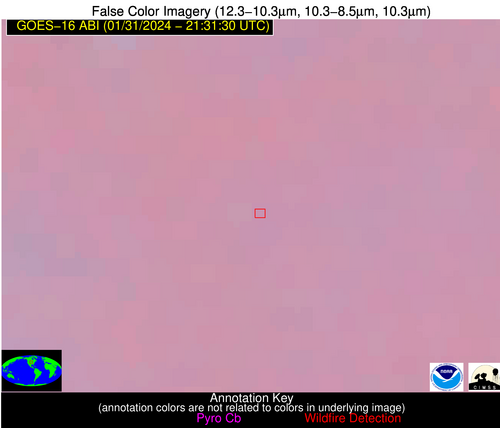
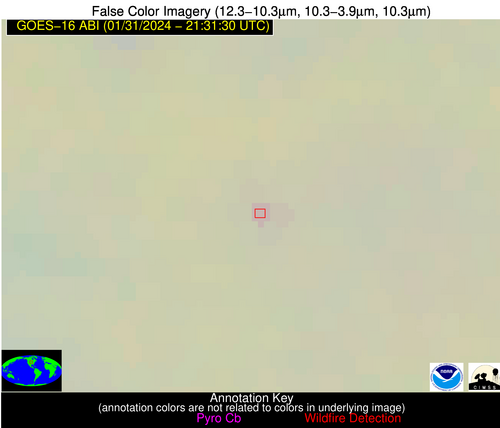
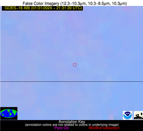
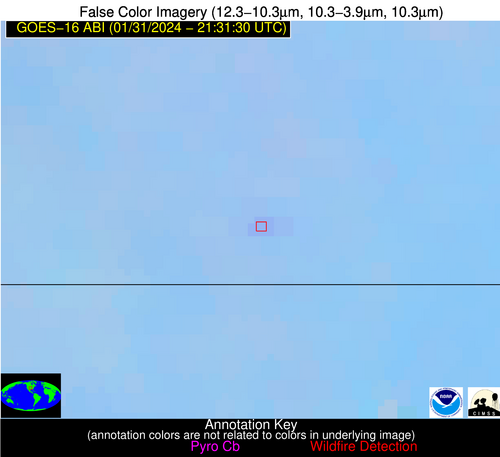
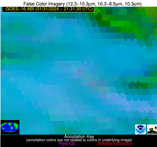
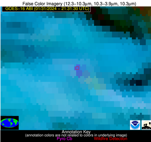
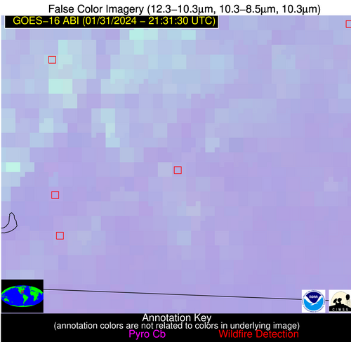
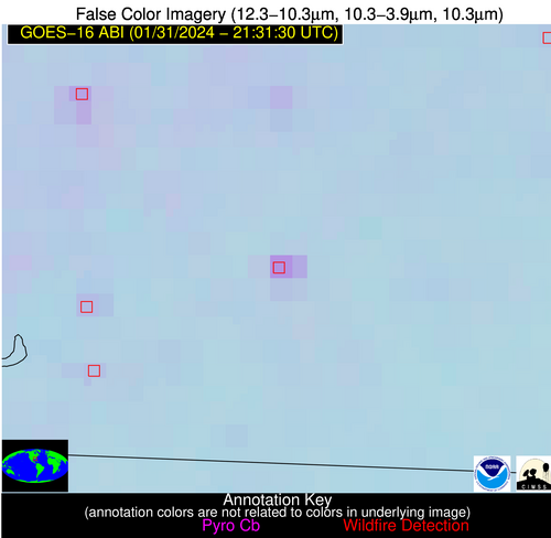
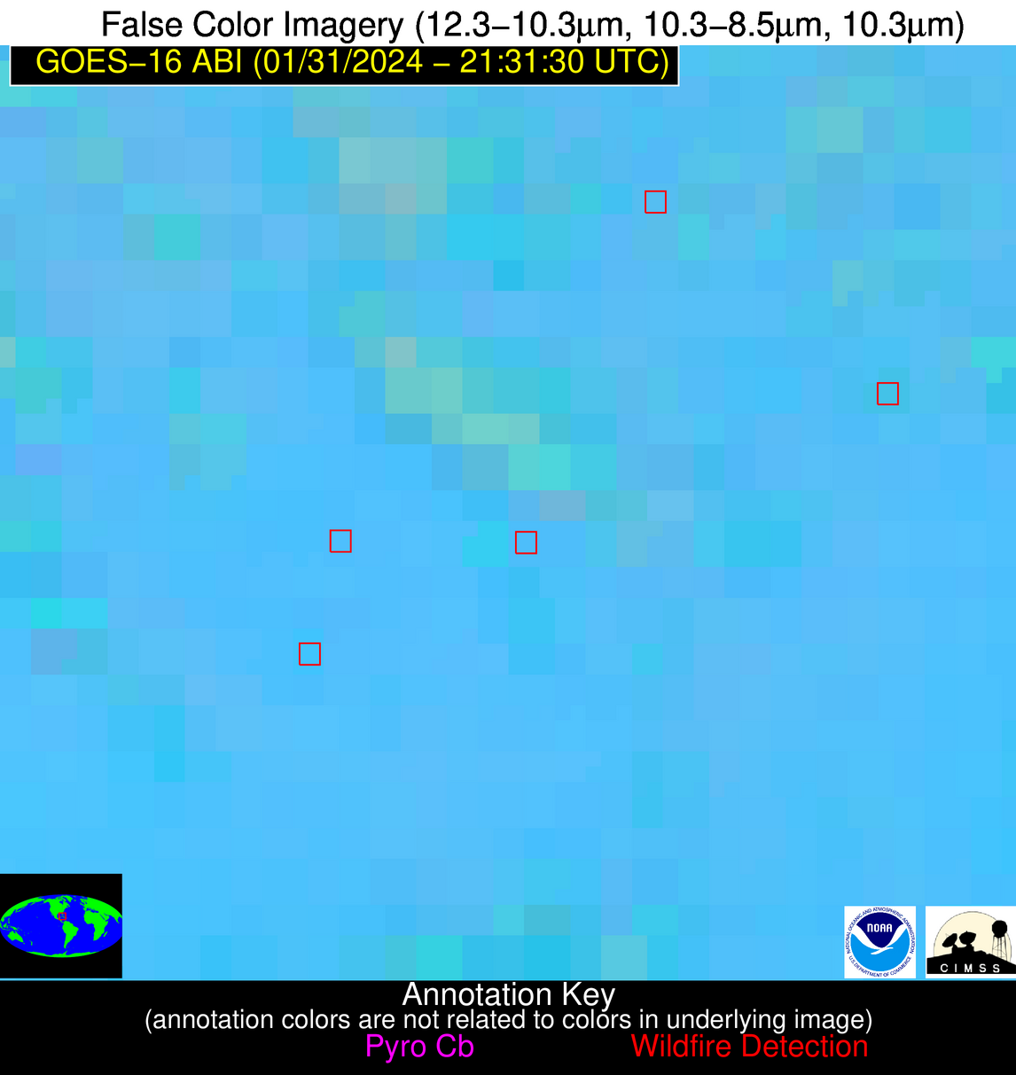
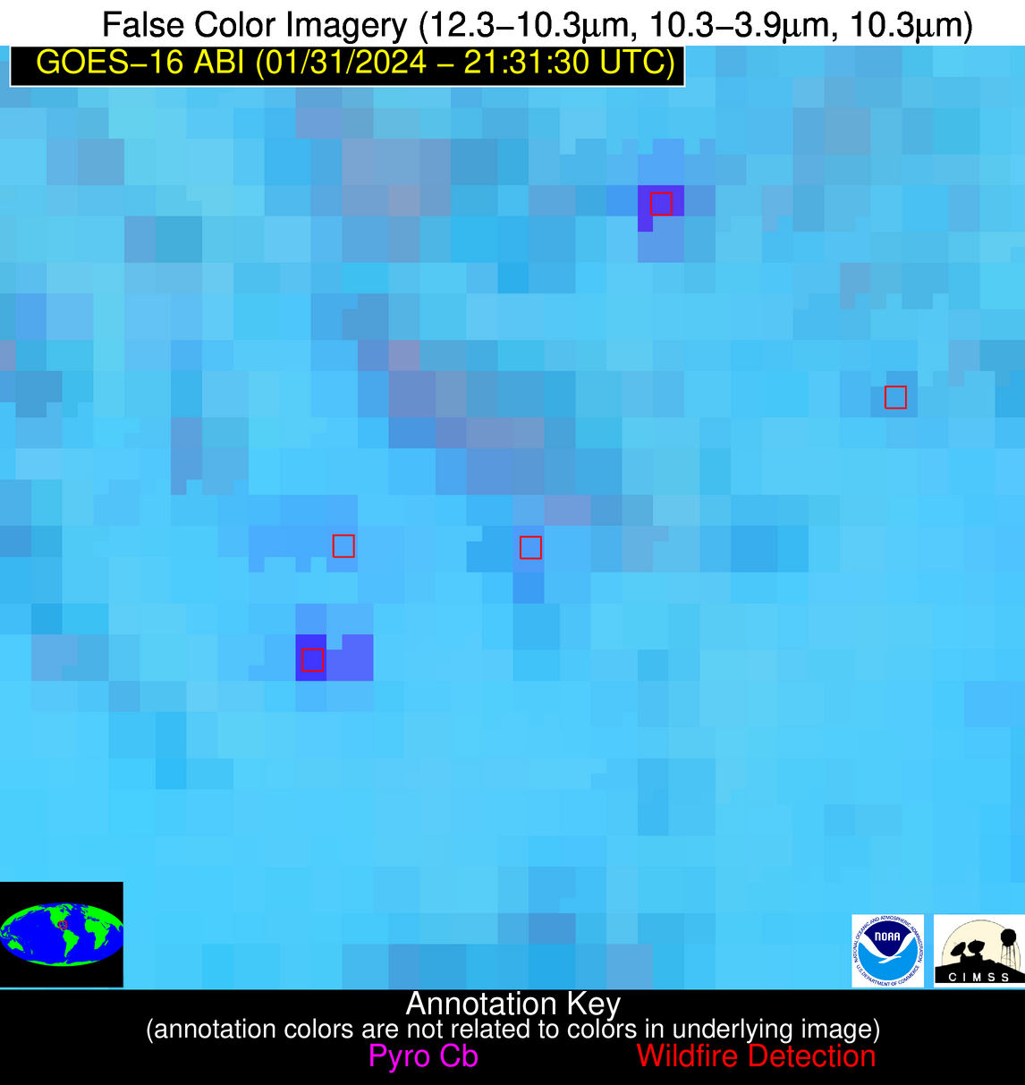
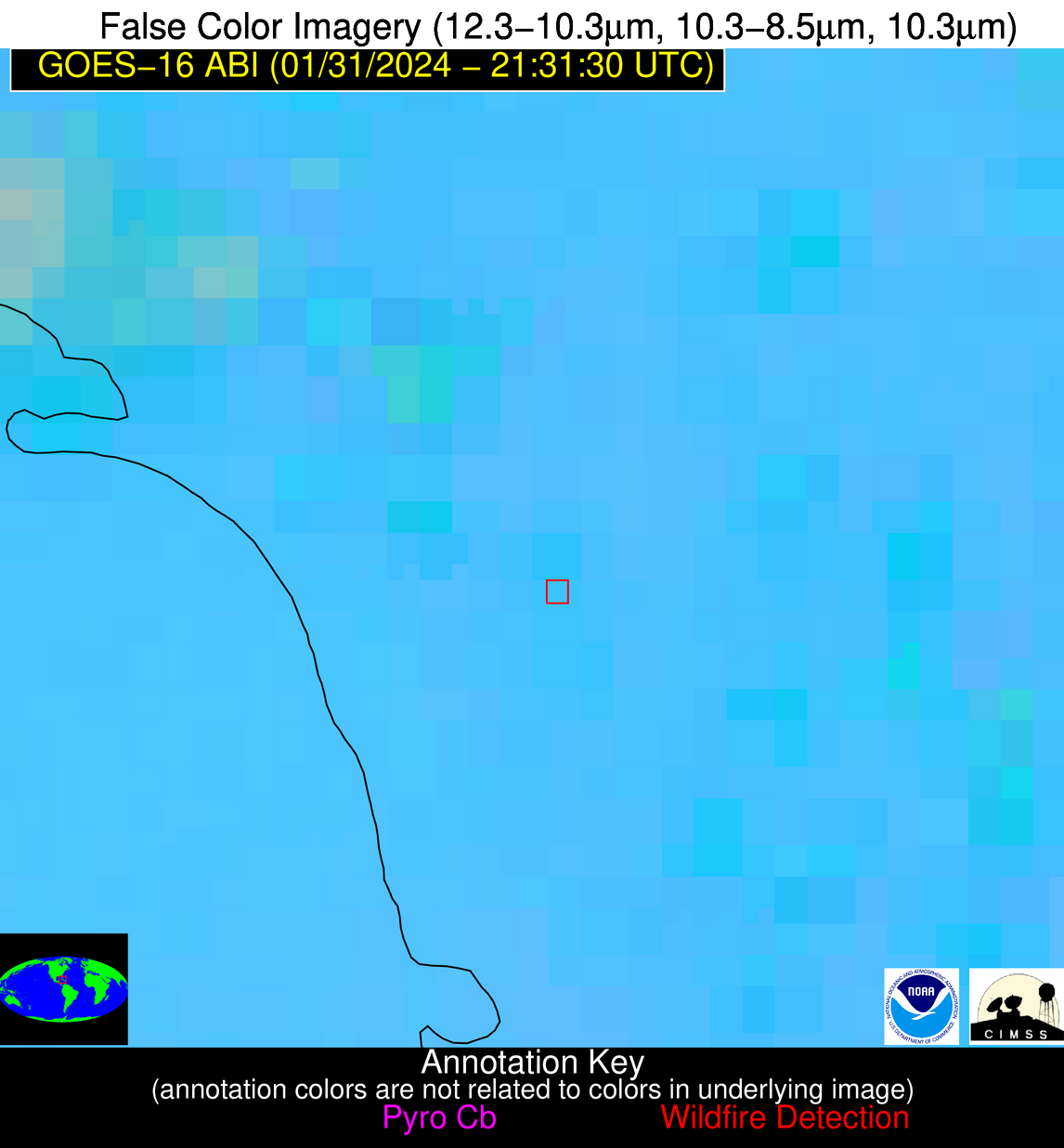
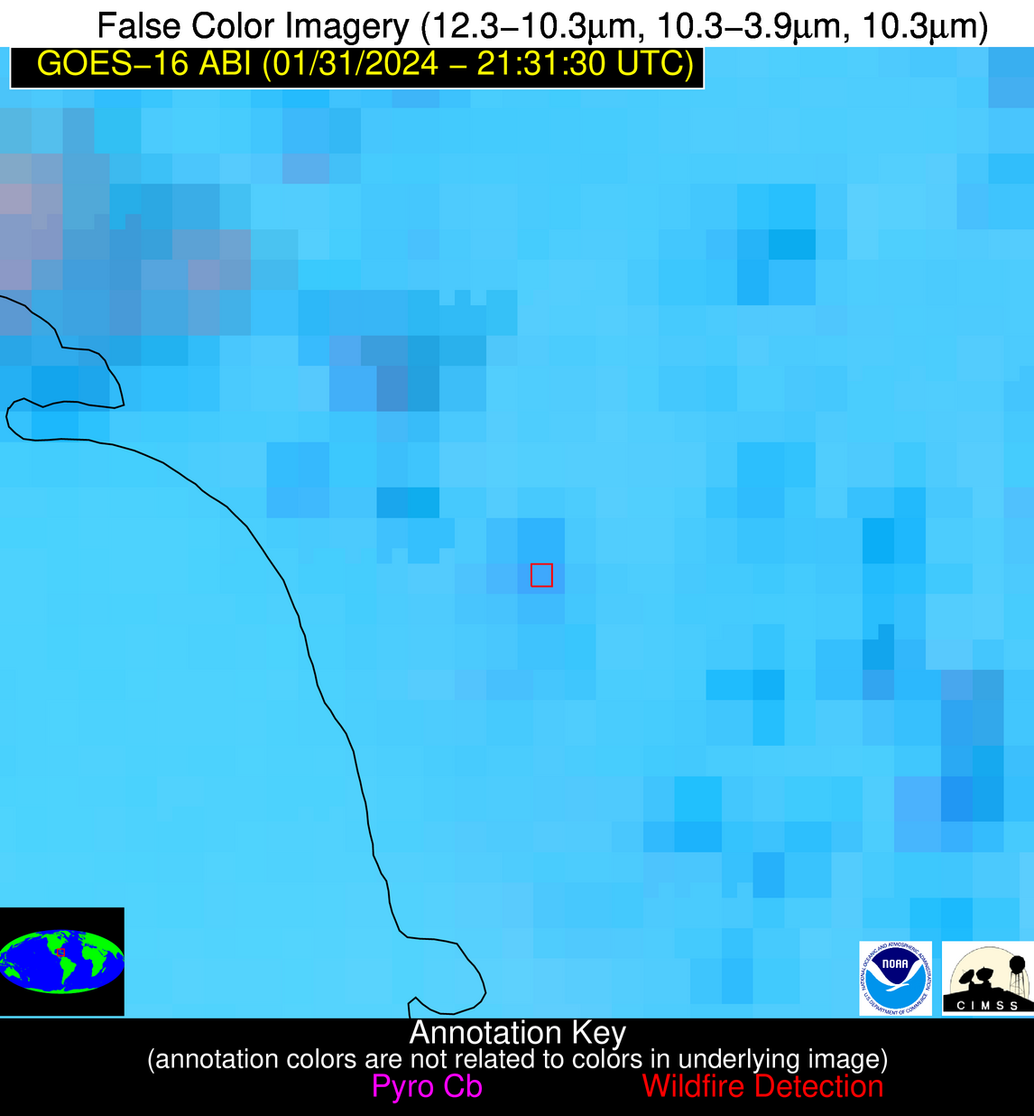
Please consider accessing NGFS detections and satellite imagery through the NOAA/NESDIS Wildland Fire Data Portal: https://fire.data.nesdis.noaa.gov/map/
Wildfire Notification Report
| Date: | 2024-01-31 |
|---|---|
| Time: | 21:31:17 |
| Production Date and Time: | 2024-01-31 21:39:24 UTC |
| Primary Instrument: | GOES-16 ABI |
| Wmo Spacecraft Id: | 152 |
| Location/orbit: | GEO |
| L1 File: | OR_ABI-L1b-RadC-M6C14_G16_s20240312131174_e20240312133547_c20240312134036.nc |
| L1 File(s) - Temporal | OR_ABI-L1b-RadC-M6C14_G16_s20240312126174_e20240312128547_c20240312129017.nc |
| Number Of Thermal Anomaly Alerts: | 6 |
Possible Wildfire
| Basic Information | |
|---|---|
| State/Province(s) | NE |
| Country/Countries | USA |
| County/Locality(s) | Stanton County, NE |
| NWS WFO | Omaha/Valley NE |
| Identification Method | Enhanced Contextual (Clear) |
| Mean Object Date/Time | 2024-01-31 21:31:50UTC |
| Radiative Center (Lat, Lon): | 41.780000°, -97.230000° |
| Nearby Counties (meeting alert criteria): |
|
| Total Radiative Power Anomaly | n/a |
| Total Radiative Power | 5.72 MW |
| Map: | |
| Additional Information | |
| Alert Status | New Feature |
| Type of Event | Nominal Risk |
| Event Priority Ranking | 4 |
| Maximum Observed BT (3.9 um) | 283.19 K |
| Observed - Background BT (3.9 um) | 4.14 K |
| BT Anomaly (3.9 um) | 5.35 K |
| Maximum Observed - Clear RTM BT (3.9 um) | 6.28 K |
| Maximum Observed BTD (3.9-10/11/12 um) | 5.28 K |
| Observed - Background BTD (3.9-10/11/12 um) | 3.40 K |
| BTD Anomaly (3.9-10/11/12 um) | 10.59 K |
| Similar Pixel Count | 1 |
| BT Time Tendency (3.9 um) | 0.20 K |
| Image Interval | 5.00 minutes |
| Fraction of Surrounding LWIR Pixels that are Colder | 0.88 |
| Fraction of Surrounding Red Channel Pixels that are Brighter | 1.00 |
| Maximum Radiative Power | 5.72 MW |
| Maximum Radiative Power Uncertainty | 0.00 MW |
| Total Radiative Power Uncertainty | 0.00 MW |
| Mean Viewing Angle | 53.50° |
| Mean Solar Zenith Angle | 71.00° |
| Mean Glint Angle | 90.80° |
| Water Fraction | 0.00 |
| Total Pixel Area | 8.10 km2 |
| Latest Satellite Imagery: | |
| View all event imagery » | |
Possible Wildfire
| Basic Information | |
|---|---|
| State/Province(s) | KS |
| Country/Countries | USA |
| County/Locality(s) | Cowley County, KS |
| NWS WFO | Wichita KS |
| Identification Method | Enhanced Contextual (Clear) |
| Mean Object Date/Time | 2024-01-31 21:31:50UTC |
| Radiative Center (Lat, Lon): | 37.070000°, -97.090000° |
| Nearby Counties (meeting alert criteria): |
|
| Total Radiative Power Anomaly | n/a |
| Total Radiative Power | 7.12 MW |
| Map: | |
| Additional Information | |
| Alert Status | New Feature |
| Type of Event | Nominal Risk |
| Event Priority Ranking | 4 |
| Maximum Observed BT (3.9 um) | 296.02 K |
| Observed - Background BT (3.9 um) | 2.90 K |
| BT Anomaly (3.9 um) | 5.68 K |
| Maximum Observed - Clear RTM BT (3.9 um) | 11.56 K |
| Maximum Observed BTD (3.9-10/11/12 um) | 6.62 K |
| Observed - Background BTD (3.9-10/11/12 um) | 2.62 K |
| BTD Anomaly (3.9-10/11/12 um) | 13.69 K |
| Similar Pixel Count | 4 |
| BT Time Tendency (3.9 um) | 1.60 K |
| Image Interval | 5.00 minutes |
| Fraction of Surrounding LWIR Pixels that are Colder | 0.73 |
| Fraction of Surrounding Red Channel Pixels that are Brighter | 1.00 |
| Maximum Radiative Power | 7.12 MW |
| Maximum Radiative Power Uncertainty | 0.00 MW |
| Total Radiative Power Uncertainty | 0.00 MW |
| Mean Viewing Angle | 49.00° |
| Mean Solar Zenith Angle | 67.60° |
| Mean Glint Angle | 84.10° |
| Water Fraction | 0.00 |
| Total Pixel Area | 7.20 km2 |
| Latest Satellite Imagery: | |
| View all event imagery » | |
Possible Wildfire
| Basic Information | |
|---|---|
| State/Province(s) | OK |
| Country/Countries | USA |
| County/Locality(s) | Custer County, OK |
| NWS WFO | Norman OK |
| Identification Method | Enhanced Contextual (Clear) |
| Mean Object Date/Time | 2024-01-31 21:32:20UTC |
| Radiative Center (Lat, Lon): | 35.640000°, -99.290000° |
| Nearby Counties (meeting alert criteria): |
|
| Total Radiative Power Anomaly | n/a |
| Total Radiative Power | 50.50 MW |
| Map: | |
| Additional Information | |
| Alert Status | New Feature |
| Type of Event | Nominal Risk, Known Incident: RX OKWSR-HFR-FY24-RX-Q FIELD (HIGH, tdiff=1.01293 days, POINT) |
| Event Priority Ranking | 4 |
| Maximum Observed BT (3.9 um) | 301.69 K |
| Observed - Background BT (3.9 um) | 9.87 K |
| BT Anomaly (3.9 um) | 10.22 K |
| Maximum Observed - Clear RTM BT (3.9 um) | 16.45 K |
| Maximum Observed BTD (3.9-10/11/12 um) | 18.92 K |
| Observed - Background BTD (3.9-10/11/12 um) | 9.43 K |
| BTD Anomaly (3.9-10/11/12 um) | 8.57 K |
| Similar Pixel Count | 9 |
| BT Time Tendency (3.9 um) | 4.30 K |
| Image Interval | 5.00 minutes |
| Fraction of Surrounding LWIR Pixels that are Colder | 0.92 |
| Fraction of Surrounding Red Channel Pixels that are Brighter | 1.00 |
| Maximum Radiative Power | 31.31 MW |
| Maximum Radiative Power Uncertainty | 0.00 MW |
| Total Radiative Power Uncertainty | 0.00 MW |
| Mean Viewing Angle | 48.80° |
| Mean Solar Zenith Angle | 65.40° |
| Mean Glint Angle | 80.90° |
| Water Fraction | 0.00 |
| Total Pixel Area | 14.40 km2 |
| Latest Satellite Imagery: | |
| View all event imagery » | |
Possible Wildfire
| Basic Information | |
|---|---|
| State/Province(s) | GA |
| Country/Countries | USA |
| County/Locality(s) | Grady County, GA |
| NWS WFO | Tallahassee FL |
| Identification Method | Enhanced Contextual (Clear) |
| Mean Object Date/Time | 2024-01-31 21:32:21UTC |
| Radiative Center (Lat, Lon): | 30.890000°, -84.370000° |
| Nearby Counties (meeting alert criteria): |
|
| Total Radiative Power Anomaly | n/a |
| Total Radiative Power | 27.59 MW |
| Map: | |
| Additional Information | |
| Alert Status | New Feature |
| Type of Event | Nominal Risk |
| Event Priority Ranking | 4 |
| Maximum Observed BT (3.9 um) | 297.67 K |
| Observed - Background BT (3.9 um) | 8.68 K |
| BT Anomaly (3.9 um) | 11.57 K |
| Maximum Observed - Clear RTM BT (3.9 um) | 15.47 K |
| Maximum Observed BTD (3.9-10/11/12 um) | 10.60 K |
| Observed - Background BTD (3.9-10/11/12 um) | 8.58 K |
| BTD Anomaly (3.9-10/11/12 um) | 18.42 K |
| Similar Pixel Count | 2 |
| BT Time Tendency (3.9 um) | 6.10 K |
| Image Interval | 5.00 minutes |
| Fraction of Surrounding LWIR Pixels that are Colder | 0.69 |
| Fraction of Surrounding Red Channel Pixels that are Brighter | 1.00 |
| Maximum Radiative Power | 27.59 MW |
| Maximum Radiative Power Uncertainty | 0.00 MW |
| Total Radiative Power Uncertainty | 0.00 MW |
| Mean Viewing Angle | 37.50° |
| Mean Solar Zenith Angle | 71.70° |
| Mean Glint Angle | 85.40° |
| Water Fraction | 0.00 |
| Total Pixel Area | 10.90 km2 |
| Latest Satellite Imagery: | |
| View all event imagery » | |
Possible Wildfire
| Basic Information | |
|---|---|
| State/Province(s) | Unknown |
| Country/Countries | Cuba |
| County/Locality(s) | Cuba |
| NWS WFO | N/A |
| Identification Method | Enhanced Contextual (Clear) |
| Mean Object Date/Time | 2024-01-31 21:33:22UTC |
| Radiative Center (Lat, Lon): | 22.690000°, -81.150000° |
| Nearby Counties (meeting alert criteria): |
|
| Total Radiative Power Anomaly | n/a |
| Total Radiative Power | 13.74 MW |
| Map: | |
| Additional Information | |
| Alert Status | New Feature |
| Type of Event | Nominal Risk |
| Event Priority Ranking | 4 |
| Maximum Observed BT (3.9 um) | 300.75 K |
| Observed - Background BT (3.9 um) | 5.98 K |
| BT Anomaly (3.9 um) | 2.47 K |
| Maximum Observed - Clear RTM BT (3.9 um) | 9.36 K |
| Maximum Observed BTD (3.9-10/11/12 um) | 11.82 K |
| Observed - Background BTD (3.9-10/11/12 um) | 6.03 K |
| BTD Anomaly (3.9-10/11/12 um) | 2.77 K |
| Similar Pixel Count | 14 |
| BT Time Tendency (3.9 um) | 4.30 K |
| Image Interval | 5.00 minutes |
| Fraction of Surrounding LWIR Pixels that are Colder | 0.55 |
| Fraction of Surrounding Red Channel Pixels that are Brighter | 0.91 |
| Maximum Radiative Power | 13.74 MW |
| Maximum Radiative Power Uncertainty | 0.00 MW |
| Total Radiative Power Uncertainty | 0.00 MW |
| Mean Viewing Angle | 27.50° |
| Mean Solar Zenith Angle | 69.80° |
| Mean Glint Angle | 78.80° |
| Water Fraction | 0.00 |
| Total Pixel Area | 4.70 km2 |
| Latest Satellite Imagery: | |
| View all event imagery » | |
Possible Wildfire
| Basic Information | |
|---|---|
| State/Province(s) | Unknown |
| Country/Countries | Cuba |
| County/Locality(s) | Cuba |
| NWS WFO | N/A |
| Identification Method | Enhanced Contextual (Clear) |
| Mean Object Date/Time | 2024-01-31 21:33:22UTC |
| Radiative Center (Lat, Lon): | 21.490000°, -78.470000° |
| Nearby Counties (meeting alert criteria): |
|
| Total Radiative Power Anomaly | n/a |
| Total Radiative Power | 15.62 MW |
| Map: | |
| Additional Information | |
| Alert Status | New Feature |
| Type of Event | Nominal Risk |
| Event Priority Ranking | 4 |
| Maximum Observed BT (3.9 um) | 302.51 K |
| Observed - Background BT (3.9 um) | 5.67 K |
| BT Anomaly (3.9 um) | 7.44 K |
| Maximum Observed - Clear RTM BT (3.9 um) | 7.24 K |
| Maximum Observed BTD (3.9-10/11/12 um) | 10.25 K |
| Observed - Background BTD (3.9-10/11/12 um) | 5.02 K |
| BTD Anomaly (3.9-10/11/12 um) | 6.11 K |
| Similar Pixel Count | 5 |
| BT Time Tendency (3.9 um) | 0.90 K |
| Image Interval | 5.00 minutes |
| Fraction of Surrounding LWIR Pixels that are Colder | 0.88 |
| Fraction of Surrounding Red Channel Pixels that are Brighter | 0.97 |
| Maximum Radiative Power | 15.62 MW |
| Maximum Radiative Power Uncertainty | 0.00 MW |
| Total Radiative Power Uncertainty | 0.00 MW |
| Mean Viewing Angle | 25.60° |
| Mean Solar Zenith Angle | 71.40° |
| Mean Glint Angle | 81.20° |
| Water Fraction | 0.00 |
| Total Pixel Area | 9.20 km2 |
| Latest Satellite Imagery: | |
| View all event imagery » | |
