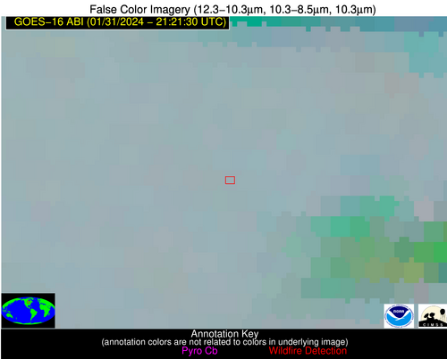
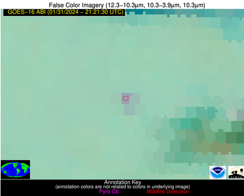
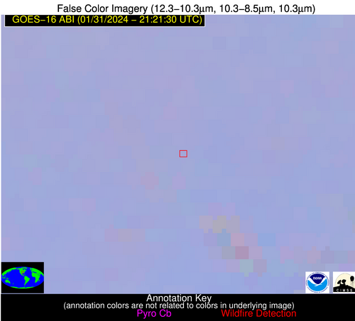
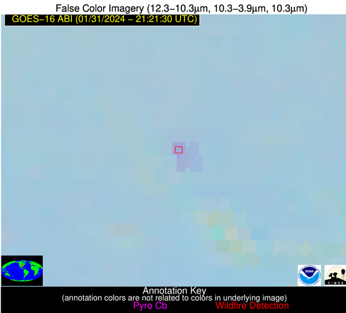
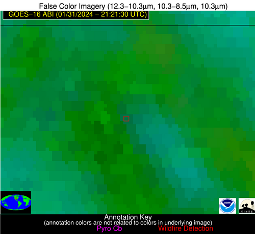
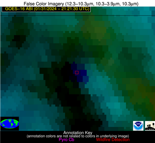
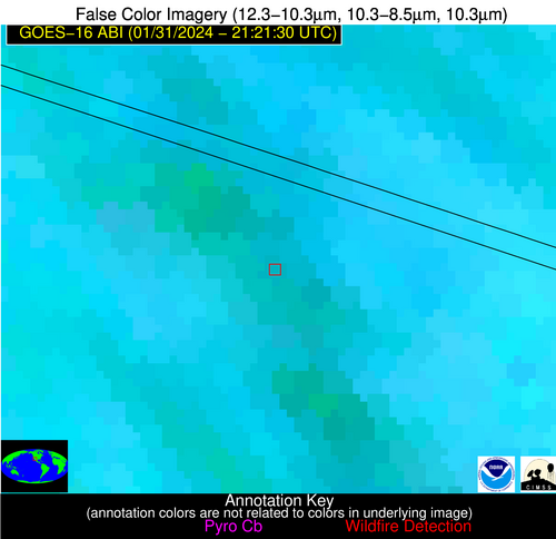
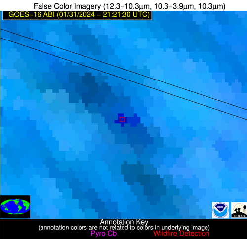
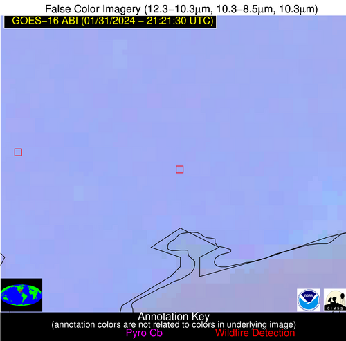
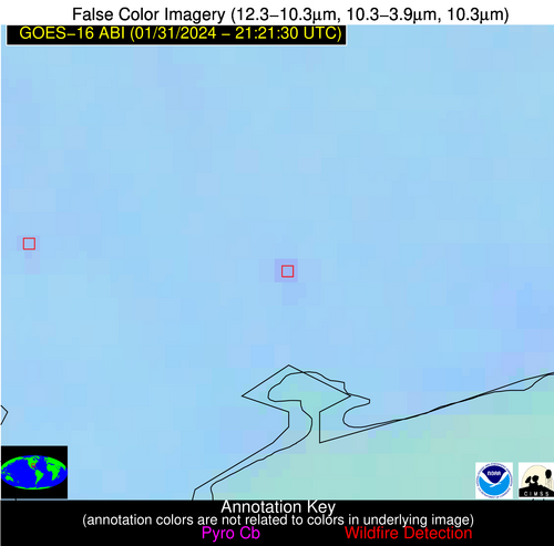
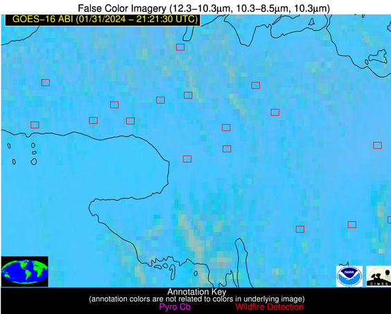
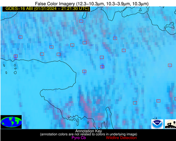
Please consider accessing NGFS detections and satellite imagery through the NOAA/NESDIS Wildland Fire Data Portal: https://fire.data.nesdis.noaa.gov/map/
Wildfire Notification Report
| Date: | 2024-01-31 |
|---|---|
| Time: | 21:21:17 |
| Production Date and Time: | 2024-01-31 21:28:29 UTC |
| Primary Instrument: | GOES-16 ABI |
| Wmo Spacecraft Id: | 152 |
| Location/orbit: | GEO |
| L1 File: | OR_ABI-L1b-RadC-M6C14_G16_s20240312121174_e20240312123547_c20240312124030.nc |
| L1 File(s) - Temporal | OR_ABI-L1b-RadC-M6C14_G16_s20240312116174_e20240312118547_c20240312119024.nc |
| Number Of Thermal Anomaly Notifications: | 7 |
Possible Wildfire
| Basic Information | |
|---|---|
| State/Province(s) | MN |
| Country/Countries | USA |
| County/Locality(s) | Koochiching County, MN |
| NWS WFO | Duluth MN |
| Identification Method | Enhanced Contextual (Clear) |
| Mean Object Date/Time | 2024-01-31 21:21:21UTC |
| Radiative Center (Lat, Lon): | 48.190000°, -93.760000° |
| Nearby Counties (meeting notification criteria): |
|
| Total Radiative Power Anomaly | n/a |
| Total Radiative Power | 14.28 MW |
| Map: | |
| Additional Information | |
| Notification Status | New Feature |
| Type of Event | Nominal Risk |
| Event Priority Ranking | 4 |
| Maximum Observed BT (3.9 um) | 286.35 K |
| Observed - Background BT (3.9 um) | 6.27 K |
| BT Anomaly (3.9 um) | 17.95 K |
| Maximum Observed - Clear RTM BT (3.9 um) | 13.13 K |
| Maximum Observed BTD (3.9-10/11/12 um) | 9.01 K |
| Observed - Background BTD (3.9-10/11/12 um) | 6.13 K |
| BTD Anomaly (3.9-10/11/12 um) | 11.71 K |
| Similar Pixel Count | 1 |
| BT Time Tendency (3.9 um) | 0.90 K |
| Image Interval | 5.00 minutes |
| Fraction of Surrounding LWIR Pixels that are Colder | 0.54 |
| Fraction of Surrounding Red Channel Pixels that are Brighter | 0.90 |
| Maximum Radiative Power | 14.28 MW |
| Maximum Radiative Power Uncertainty | 0.00 MW |
| Total Radiative Power Uncertainty | 0.00 MW |
| Mean Viewing Angle | 58.50° |
| Mean Solar Zenith Angle | 76.20° |
| Mean Glint Angle | 101.80° |
| Water Fraction | 0.00 |
| Total Pixel Area | 9.30 km2 |
| Latest Satellite Imagery: | |
| View all event imagery » | |
Possible Wildfire
| Basic Information | |
|---|---|
| State/Province(s) | MO |
| Country/Countries | USA |
| County/Locality(s) | Henry County, MO |
| NWS WFO | Kansas City/Pleasant Hill MO |
| Identification Method | Enhanced Contextual (Clear) |
| Mean Object Date/Time | 2024-01-31 21:21:50UTC |
| Radiative Center (Lat, Lon): | 38.460000°, -93.830000° |
| Nearby Counties (meeting notification criteria): |
|
| Total Radiative Power Anomaly | n/a |
| Total Radiative Power | 17.35 MW |
| Map: | |
| Additional Information | |
| Notification Status | New Feature |
| Type of Event | Nominal Risk |
| Event Priority Ranking | 4 |
| Maximum Observed BT (3.9 um) | 292.56 K |
| Observed - Background BT (3.9 um) | 4.55 K |
| BT Anomaly (3.9 um) | 5.74 K |
| Maximum Observed - Clear RTM BT (3.9 um) | 12.50 K |
| Maximum Observed BTD (3.9-10/11/12 um) | 8.17 K |
| Observed - Background BTD (3.9-10/11/12 um) | 4.62 K |
| BTD Anomaly (3.9-10/11/12 um) | 15.30 K |
| Similar Pixel Count | 4 |
| BT Time Tendency (3.9 um) | 4.30 K |
| Image Interval | 5.00 minutes |
| Fraction of Surrounding LWIR Pixels that are Colder | 0.37 |
| Fraction of Surrounding Red Channel Pixels that are Brighter | 1.00 |
| Maximum Radiative Power | 17.35 MW |
| Maximum Radiative Power Uncertainty | 0.00 MW |
| Total Radiative Power Uncertainty | 0.00 MW |
| Mean Viewing Angle | 48.80° |
| Mean Solar Zenith Angle | 69.00° |
| Mean Glint Angle | 88.40° |
| Water Fraction | 0.00 |
| Total Pixel Area | 14.10 km2 |
| Latest Satellite Imagery: | |
| View all event imagery » | |
Possible Wildfire
| Basic Information | |
|---|---|
| State/Province(s) | TX |
| Country/Countries | USA |
| County/Locality(s) | Dallam County, TX |
| NWS WFO | Amarillo TX |
| Identification Method | Enhanced Contextual (Cloud) |
| Mean Object Date/Time | 2024-01-31 21:22:19UTC |
| Radiative Center (Lat, Lon): | 36.270000°, -102.560000° |
| Nearby Counties (meeting notification criteria): |
|
| Total Radiative Power Anomaly | n/a |
| Total Radiative Power | 419.88 MW |
| Map: | |
| Additional Information | |
| Notification Status | New Feature |
| Type of Event | Nominal Risk |
| Event Priority Ranking | 4 |
| Maximum Observed BT (3.9 um) | 316.83 K |
| Observed - Background BT (3.9 um) | 42.67 K |
| BT Anomaly (3.9 um) | 16.45 K |
| Maximum Observed - Clear RTM BT (3.9 um) | 33.38 K |
| Maximum Observed BTD (3.9-10/11/12 um) | 67.66 K |
| Observed - Background BTD (3.9-10/11/12 um) | 41.23 K |
| BTD Anomaly (3.9-10/11/12 um) | 15.37 K |
| Similar Pixel Count | 0 |
| BT Time Tendency (3.9 um) | 31.80 K |
| Image Interval | 5.00 minutes |
| Fraction of Surrounding LWIR Pixels that are Colder | 0.81 |
| Fraction of Surrounding Red Channel Pixels that are Brighter | 0.96 |
| Maximum Radiative Power | 419.88 MW |
| Maximum Radiative Power Uncertainty | 0.00 MW |
| Total Radiative Power Uncertainty | 0.00 MW |
| Mean Viewing Angle | 51.30° |
| Mean Solar Zenith Angle | 62.80° |
| Mean Glint Angle | 81.50° |
| Water Fraction | 0.00 |
| Total Pixel Area | 15.60 km2 |
| Latest Satellite Imagery: | |
| View all event imagery » | |
Possible Wildfire
| Basic Information | |
|---|---|
| State/Province(s) | Unknown |
| Country/Countries | Mexico |
| County/Locality(s) | Mexico |
| NWS WFO | N/A |
| Identification Method | Enhanced Contextual (Cloud) |
| Mean Object Date/Time | 2024-01-31 21:22:18UTC |
| Radiative Center (Lat, Lon): | 31.720000°, -112.650000° |
| Nearby Counties (meeting notification criteria): |
|
| Total Radiative Power Anomaly | n/a |
| Total Radiative Power | 117.72 MW |
| Map: | |
| Additional Information | |
| Notification Status | New Feature |
| Type of Event | Nominal Risk |
| Event Priority Ranking | 4 |
| Maximum Observed BT (3.9 um) | 308.25 K |
| Observed - Background BT (3.9 um) | 12.54 K |
| BT Anomaly (3.9 um) | 10.33 K |
| Maximum Observed - Clear RTM BT (3.9 um) | 16.39 K |
| Maximum Observed BTD (3.9-10/11/12 um) | 32.46 K |
| Observed - Background BTD (3.9-10/11/12 um) | 13.15 K |
| BTD Anomaly (3.9-10/11/12 um) | 12.76 K |
| Similar Pixel Count | 0 |
| BT Time Tendency (3.9 um) | 12.00 K |
| Image Interval | 5.00 minutes |
| Fraction of Surrounding LWIR Pixels that are Colder | 0.09 |
| Fraction of Surrounding Red Channel Pixels that are Brighter | 0.29 |
| Maximum Radiative Power | 72.65 MW |
| Maximum Radiative Power Uncertainty | 0.00 MW |
| Total Radiative Power Uncertainty | 0.00 MW |
| Mean Viewing Angle | 54.90° |
| Mean Solar Zenith Angle | 54.50° |
| Mean Glint Angle | 74.30° |
| Water Fraction | 0.00 |
| Total Pixel Area | 18.20 km2 |
| Latest Satellite Imagery: | |
| View all event imagery » | |
Possible Wildfire
| Basic Information | |
|---|---|
| State/Province(s) | MS |
| Country/Countries | USA |
| County/Locality(s) | Harrison County, MS |
| NWS WFO | New Orleans LA |
| Identification Method | Enhanced Contextual (Clear) |
| Mean Object Date/Time | 2024-01-31 21:22:21UTC |
| Radiative Center (Lat, Lon): | 30.480000°, -89.330000° |
| Nearby Counties (meeting notification criteria): |
|
| Total Radiative Power Anomaly | n/a |
| Total Radiative Power | 7.70 MW |
| Map: | |
| Additional Information | |
| Notification Status | New Feature |
| Type of Event | Nominal Risk |
| Event Priority Ranking | 4 |
| Maximum Observed BT (3.9 um) | 296.36 K |
| Observed - Background BT (3.9 um) | 4.03 K |
| BT Anomaly (3.9 um) | 7.22 K |
| Maximum Observed - Clear RTM BT (3.9 um) | 11.87 K |
| Maximum Observed BTD (3.9-10/11/12 um) | 5.89 K |
| Observed - Background BTD (3.9-10/11/12 um) | 3.63 K |
| BTD Anomaly (3.9-10/11/12 um) | 14.16 K |
| Similar Pixel Count | 1 |
| BT Time Tendency (3.9 um) | 2.60 K |
| Image Interval | 5.00 minutes |
| Fraction of Surrounding LWIR Pixels that are Colder | 0.94 |
| Fraction of Surrounding Red Channel Pixels that are Brighter | 1.00 |
| Maximum Radiative Power | 7.70 MW |
| Maximum Radiative Power Uncertainty | 0.00 MW |
| Total Radiative Power Uncertainty | 0.00 MW |
| Mean Viewing Angle | 38.90° |
| Mean Solar Zenith Angle | 66.40° |
| Mean Glint Angle | 79.60° |
| Water Fraction | 0.00 |
| Total Pixel Area | 5.60 km2 |
| Latest Satellite Imagery: | |
| View all event imagery » | |
Possible Wildfire
| Basic Information | |
|---|---|
| State/Province(s) | Unknown |
| Country/Countries | Cuba |
| County/Locality(s) | Cuba |
| NWS WFO | N/A |
| Identification Method | Enhanced Contextual (Clear) |
| Mean Object Date/Time | 2024-01-31 21:23:21UTC |
| Radiative Center (Lat, Lon): | 22.880000°, -82.450000° |
| Nearby Counties (meeting notification criteria): |
|
| Total Radiative Power Anomaly | n/a |
| Total Radiative Power | 11.03 MW |
| Map: | |
| Additional Information | |
| Notification Status | New Feature |
| Type of Event | Nominal Risk |
| Event Priority Ranking | 4 |
| Maximum Observed BT (3.9 um) | 300.75 K |
| Observed - Background BT (3.9 um) | 5.18 K |
| BT Anomaly (3.9 um) | 4.33 K |
| Maximum Observed - Clear RTM BT (3.9 um) | 9.60 K |
| Maximum Observed BTD (3.9-10/11/12 um) | 11.90 K |
| Observed - Background BTD (3.9-10/11/12 um) | 5.00 K |
| BTD Anomaly (3.9-10/11/12 um) | 4.15 K |
| Similar Pixel Count | 10 |
| BT Time Tendency (3.9 um) | 2.00 K |
| Image Interval | 5.00 minutes |
| Fraction of Surrounding LWIR Pixels that are Colder | 0.76 |
| Fraction of Surrounding Red Channel Pixels that are Brighter | 1.00 |
| Maximum Radiative Power | 11.03 MW |
| Maximum Radiative Power Uncertainty | 0.00 MW |
| Total Radiative Power Uncertainty | 0.00 MW |
| Mean Viewing Angle | 28.10° |
| Mean Solar Zenith Angle | 66.90° |
| Mean Glint Angle | 76.10° |
| Water Fraction | 0.00 |
| Total Pixel Area | 4.70 km2 |
| Latest Satellite Imagery: | |
| View all event imagery » | |
Possible Wildfire
| Basic Information | |
|---|---|
| State/Province(s) | Unknown |
| Country/Countries | Cuba |
| County/Locality(s) | Cuba |
| NWS WFO | N/A |
| Identification Method | Enhanced Contextual (Clear) |
| Mean Object Date/Time | 2024-01-31 21:23:22UTC |
| Radiative Center (Lat, Lon): | 22.330000°, -80.460000° |
| Nearby Counties (meeting notification criteria): |
|
| Total Radiative Power Anomaly | n/a |
| Total Radiative Power | 5.31 MW |
| Map: | |
| Additional Information | |
| Notification Status | New Feature |
| Type of Event | Nominal Risk |
| Event Priority Ranking | 4 |
| Maximum Observed BT (3.9 um) | 298.08 K |
| Observed - Background BT (3.9 um) | 2.21 K |
| BT Anomaly (3.9 um) | 3.45 K |
| Maximum Observed - Clear RTM BT (3.9 um) | 5.80 K |
| Maximum Observed BTD (3.9-10/11/12 um) | 8.65 K |
| Observed - Background BTD (3.9-10/11/12 um) | 2.67 K |
| BTD Anomaly (3.9-10/11/12 um) | 2.55 K |
| Similar Pixel Count | 10 |
| BT Time Tendency (3.9 um) | 2.10 K |
| Image Interval | 5.00 minutes |
| Fraction of Surrounding LWIR Pixels that are Colder | 0.22 |
| Fraction of Surrounding Red Channel Pixels that are Brighter | 1.00 |
| Maximum Radiative Power | 5.31 MW |
| Maximum Radiative Power Uncertainty | 0.00 MW |
| Total Radiative Power Uncertainty | 0.00 MW |
| Mean Viewing Angle | 26.90° |
| Mean Solar Zenith Angle | 68.20° |
| Mean Glint Angle | 78.10° |
| Water Fraction | 0.00 |
| Total Pixel Area | 4.70 km2 |
| Latest Satellite Imagery: | |
| View all event imagery » | |
