Wildfire Alert Report
| Date: | 2024-01-30 |
|---|---|
| Time: | 21:36:17 |
| Production Date and Time: | 2024-01-30 21:41:00 UTC |
| Primary Instrument: | GOES-16 ABI |
| Wmo Spacecraft Id: | 152 |
| Location/orbit: | GEO |
| L1 File: | OR_ABI-L1b-RadC-M6C14_G16_s20240302136174_e20240302138547_c20240302139019.nc |
| L1 File(s) - Temporal | OR_ABI-L1b-RadC-M6C14_G16_s20240302131174_e20240302133547_c20240302134011.nc |
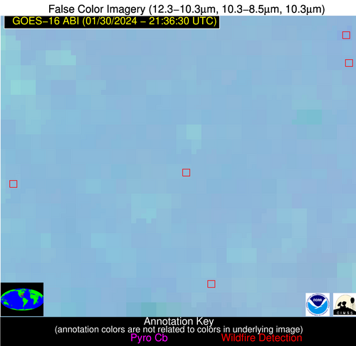
| Number Of Thermal Anomaly Alerts: | 4 |
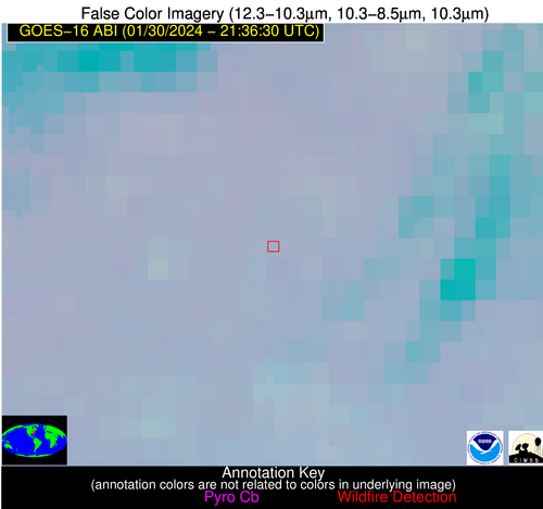
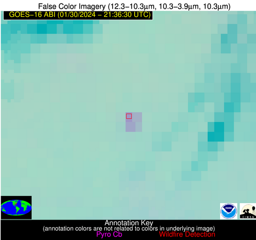
Possible Wildfire
| Basic Information | |
|---|---|
| State/Province(s) | NC |
| Country/Countries | USA |
| County/Locality(s) | Harnett County, NC |
| NWS WFO | Raleigh NC |
| Identification Method | Enhanced Contextual (Clear) |
| Mean Object Date/Time | 2024-01-30 21:37:22UTC |
| Radiative Center (Lat, Lon): | 35.320000°, -79.020000° |
| Nearby Counties (meeting alert criteria): |
|
| Total Radiative Power Anomaly | n/a |
| Total Radiative Power | 34.83 MW |
| Map: | |
| Additional Information | |
| Alert Status | New Feature |
| Type of Event | Nominal Risk |
| Event Priority Ranking | 4 |
| Maximum Observed BT (3.9 um) | 291.38 K |
| Observed - Background BT (3.9 um) | 8.77 K |
| BT Anomaly (3.9 um) | 16.25 K |
| Maximum Observed - Clear RTM BT (3.9 um) | 12.23 K |
| Maximum Observed BTD (3.9-10/11/12 um) | 10.27 K |
| Observed - Background BTD (3.9-10/11/12 um) | 8.45 K |
| BTD Anomaly (3.9-10/11/12 um) | 18.38 K |
| Similar Pixel Count | 2 |
| BT Time Tendency (3.9 um) | 7.70 K |
| Image Interval | 5.00 minutes |
| Fraction of Surrounding LWIR Pixels that are Colder | 0.81 |
| Fraction of Surrounding Red Channel Pixels that are Brighter | 1.00 |
| Maximum Radiative Power | 23.60 MW |
| Maximum Radiative Power Uncertainty | 0.00 MW |
| Total Radiative Power Uncertainty | 0.00 MW |
| Mean Viewing Angle | 41.40° |
| Mean Solar Zenith Angle | 79.00° |
| Mean Glint Angle | 97.30° |
| Water Fraction | 0.00 |
| Total Pixel Area | 17.30 km2 |
| Latest Satellite Imagery: | |
| View all event imagery » | |
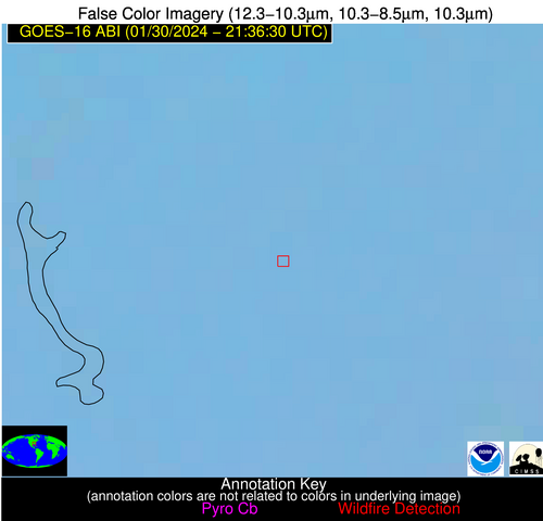
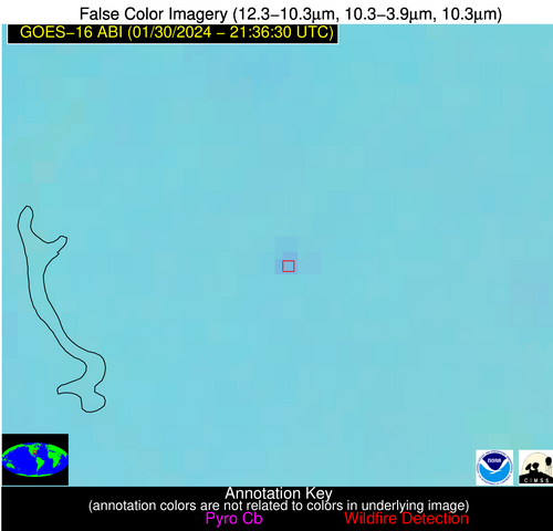
Possible Wildfire
| Basic Information | |
|---|---|
| State/Province(s) | AL |
| Country/Countries | USA |
| County/Locality(s) | Coosa County, AL |
| NWS WFO | Birmingham AL |
| Identification Method | Enhanced Contextual (Clear) |
| Mean Object Date/Time | 2024-01-30 21:37:21UTC |
| Radiative Center (Lat, Lon): | 32.960000°, -86.230000° |
| Nearby Counties (meeting alert criteria): |
|
| Total Radiative Power Anomaly | n/a |
| Total Radiative Power | 6.76 MW |
| Map: | |
| Additional Information | |
| Alert Status | New Feature |
| Type of Event | Nominal Risk |
| Event Priority Ranking | 4 |
| Maximum Observed BT (3.9 um) | 291.61 K |
| Observed - Background BT (3.9 um) | 3.72 K |
| BT Anomaly (3.9 um) | 18.55 K |
| Maximum Observed - Clear RTM BT (3.9 um) | 10.31 K |
| Maximum Observed BTD (3.9-10/11/12 um) | 6.61 K |
| Observed - Background BTD (3.9-10/11/12 um) | 3.44 K |
| BTD Anomaly (3.9-10/11/12 um) | 21.77 K |
| Similar Pixel Count | 1 |
| BT Time Tendency (3.9 um) | -0.40 K |
| Image Interval | 5.00 minutes |
| Fraction of Surrounding LWIR Pixels that are Colder | 0.86 |
| Fraction of Surrounding Red Channel Pixels that are Brighter | 1.00 |
| Maximum Radiative Power | 6.76 MW |
| Maximum Radiative Power Uncertainty | 0.00 MW |
| Total Radiative Power Uncertainty | 0.00 MW |
| Mean Viewing Angle | 40.30° |
| Mean Solar Zenith Angle | 72.70° |
| Mean Glint Angle | 86.70° |
| Water Fraction | 0.00 |
| Total Pixel Area | 5.70 km2 |
| Latest Satellite Imagery: | |
| View all event imagery » | |
Possible Wildfire
| Basic Information | |
|---|---|
| State/Province(s) | GA |
| Country/Countries | USA |
| County/Locality(s) | Dodge County, GA |
| NWS WFO | Peachtree City GA |
| Identification Method | Enhanced Contextual (Clear) |
| Mean Object Date/Time | 2024-01-30 21:37:22UTC |
| Radiative Center (Lat, Lon): | 32.080000°, -83.090000° |
| Nearby Counties (meeting alert criteria): |
|
| Total Radiative Power Anomaly | n/a |
| Total Radiative Power | 11.78 MW |
| Map: | |
| Additional Information | |
| Alert Status | New Feature |
| Type of Event | Nominal Risk |
| Event Priority Ranking | 4 |
| Maximum Observed BT (3.9 um) | 293.11 K |
| Observed - Background BT (3.9 um) | 6.26 K |
| BT Anomaly (3.9 um) | 16.70 K |
| Maximum Observed - Clear RTM BT (3.9 um) | 10.71 K |
| Maximum Observed BTD (3.9-10/11/12 um) | 8.91 K |
| Observed - Background BTD (3.9-10/11/12 um) | 6.35 K |
| BTD Anomaly (3.9-10/11/12 um) | 25.39 K |
| Similar Pixel Count | 1 |
| BT Time Tendency (3.9 um) | 3.00 K |
| Image Interval | 5.00 minutes |
| Fraction of Surrounding LWIR Pixels that are Colder | 0.31 |
| Fraction of Surrounding Red Channel Pixels that are Brighter | 1.00 |
| Maximum Radiative Power | 11.78 MW |
| Maximum Radiative Power Uncertainty | 0.00 MW |
| Total Radiative Power Uncertainty | 0.00 MW |
| Mean Viewing Angle | 38.50° |
| Mean Solar Zenith Angle | 74.40° |
| Mean Glint Angle | 88.90° |
| Water Fraction | 0.00 |
| Total Pixel Area | 5.50 km2 |
| Latest Satellite Imagery: | |
| View all event imagery » | |
Possible Wildfire
| Basic Information | |
|---|---|
| State/Province(s) | MS |
| Country/Countries | USA |
| County/Locality(s) | Jones County, MS |
| NWS WFO | Jackson MS |
| Identification Method | Enhanced Contextual (Clear) |
| Mean Object Date/Time | 2024-01-30 21:37:21UTC |
| Radiative Center (Lat, Lon): | 31.490000°, -89.130000° |
| Nearby Counties (meeting alert criteria): |
|
| Total Radiative Power Anomaly | n/a |
| Total Radiative Power | 7.81 MW |
| Map: | |
| Additional Information | |
| Alert Status | New Feature |
| Type of Event | Nominal Risk |
| Event Priority Ranking | 4 |
| Maximum Observed BT (3.9 um) | 295.38 K |
| Observed - Background BT (3.9 um) | 3.53 K |
| BT Anomaly (3.9 um) | 9.10 K |
| Maximum Observed - Clear RTM BT (3.9 um) | 10.99 K |
| Maximum Observed BTD (3.9-10/11/12 um) | 6.93 K |
| Observed - Background BTD (3.9-10/11/12 um) | 3.52 K |
| BTD Anomaly (3.9-10/11/12 um) | 14.55 K |
| Similar Pixel Count | 3 |
| BT Time Tendency (3.9 um) | 1.80 K |
| Image Interval | 5.00 minutes |
| Fraction of Surrounding LWIR Pixels that are Colder | 0.51 |
| Fraction of Surrounding Red Channel Pixels that are Brighter | 1.00 |
| Maximum Radiative Power | 7.81 MW |
| Maximum Radiative Power Uncertainty | 0.00 MW |
| Total Radiative Power Uncertainty | 0.00 MW |
| Mean Viewing Angle | 39.90° |
| Mean Solar Zenith Angle | 69.90° |
| Mean Glint Angle | 81.90° |
| Water Fraction | 0.00 |
| Total Pixel Area | 5.70 km2 |
| Latest Satellite Imagery: | |
| View all event imagery » | |
