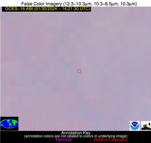
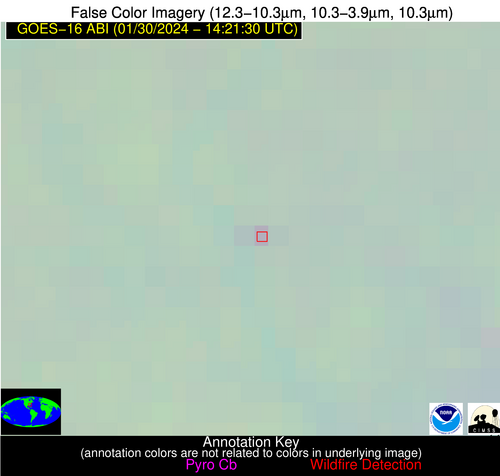
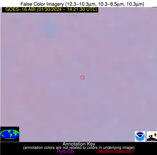
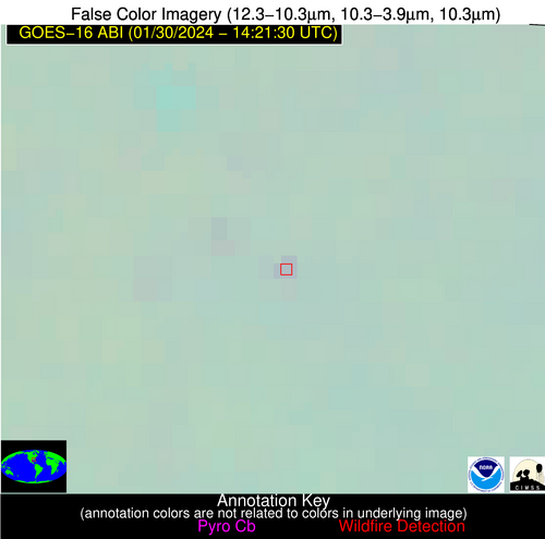
Wildfire Alert Report
| Date: | 2024-01-30 |
|---|---|
| Time: | 14:21:17 |
| Production Date and Time: | 2024-01-30 14:25:54 UTC |
| Primary Instrument: | GOES-16 ABI |
| Wmo Spacecraft Id: | 152 |
| Location/orbit: | GEO |
| L1 File: | OR_ABI-L1b-RadC-M6C14_G16_s20240301421174_e20240301423547_c20240301424000.nc |
| L1 File(s) - Temporal | OR_ABI-L1b-RadC-M6C14_G16_s20240301416174_e20240301418547_c20240301419038.nc |
| Number Of Thermal Anomaly Alerts: | 5 |
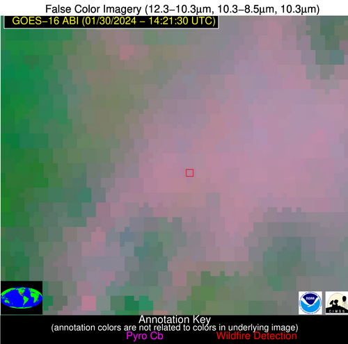
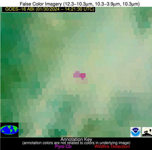
Possible Wildfire
| Basic Information | |
|---|---|
| State/Province(s) | SC |
| Country/Countries | USA |
| County/Locality(s) | Horry County, SC |
| NWS WFO | Wilmington NC |
| Identification Method | Enhanced Contextual (Clear) |
| Mean Object Date/Time | 2024-01-30 14:22:22UTC |
| Radiative Center (Lat, Lon): | 33.870000°, -79.230000° |
| Nearby Counties (meeting alert criteria): |
|
| Total Radiative Power Anomaly | n/a |
| Total Radiative Power | 6.07 MW |
| Map: | |
| Additional Information | |
| Alert Status | New Feature |
| Type of Event | Nominal Risk |
| Event Priority Ranking | 4 |
| Maximum Observed BT (3.9 um) | 286.14 K |
| Observed - Background BT (3.9 um) | 4.31 K |
| BT Anomaly (3.9 um) | 7.06 K |
| Maximum Observed - Clear RTM BT (3.9 um) | 6.88 K |
| Maximum Observed BTD (3.9-10/11/12 um) | 6.60 K |
| Observed - Background BTD (3.9-10/11/12 um) | 4.14 K |
| BTD Anomaly (3.9-10/11/12 um) | 11.09 K |
| Similar Pixel Count | 1 |
| BT Time Tendency (3.9 um) | 2.60 K |
| Image Interval | 5.00 minutes |
| Fraction of Surrounding LWIR Pixels that are Colder | 0.62 |
| Fraction of Surrounding Red Channel Pixels that are Brighter | 0.98 |
| Maximum Radiative Power | 6.07 MW |
| Maximum Radiative Power Uncertainty | 0.00 MW |
| Total Radiative Power Uncertainty | 0.00 MW |
| Mean Viewing Angle | 39.80° |
| Mean Solar Zenith Angle | 68.40° |
| Mean Glint Angle | 99.40° |
| Water Fraction | 0.00 |
| Total Pixel Area | 5.60 km2 |
| Latest Satellite Imagery: | |
| View all event imagery » | |
Possible Wildfire
| Basic Information | |
|---|---|
| State/Province(s) | FL |
| Country/Countries | USA |
| County/Locality(s) | Jefferson County, FL |
| NWS WFO | Tallahassee FL |
| Identification Method | Enhanced Contextual (Clear) |
| Mean Object Date/Time | 2024-01-30 14:22:21UTC |
| Radiative Center (Lat, Lon): | 30.380000°, -83.850000° |
| Nearby Counties (meeting alert criteria): |
|
| Total Radiative Power Anomaly | n/a |
| Total Radiative Power | 3.47 MW |
| Map: | |
| Additional Information | |
| Alert Status | New Feature |
| Type of Event | Nominal Risk |
| Event Priority Ranking | 4 |
| Maximum Observed BT (3.9 um) | 285.44 K |
| Observed - Background BT (3.9 um) | 3.01 K |
| BT Anomaly (3.9 um) | 6.99 K |
| Maximum Observed - Clear RTM BT (3.9 um) | 4.89 K |
| Maximum Observed BTD (3.9-10/11/12 um) | 4.53 K |
| Observed - Background BTD (3.9-10/11/12 um) | 2.56 K |
| BTD Anomaly (3.9-10/11/12 um) | 9.27 K |
| Similar Pixel Count | 1 |
| BT Time Tendency (3.9 um) | 1.90 K |
| Image Interval | 5.00 minutes |
| Fraction of Surrounding LWIR Pixels that are Colder | 0.92 |
| Fraction of Surrounding Red Channel Pixels that are Brighter | 1.00 |
| Maximum Radiative Power | 3.47 MW |
| Maximum Radiative Power Uncertainty | 0.00 MW |
| Total Radiative Power Uncertainty | 0.00 MW |
| Mean Viewing Angle | 36.80° |
| Mean Solar Zenith Angle | 69.20° |
| Mean Glint Angle | 99.60° |
| Water Fraction | 0.00 |
| Total Pixel Area | 5.40 km2 |
| Latest Satellite Imagery: | |
| View all event imagery » | |
Possible Wildfire
| Basic Information | |
|---|---|
| State/Province(s) | TX |
| Country/Countries | USA |
| County/Locality(s) | Medina County, TX |
| NWS WFO | Austin/San Antonio TX |
| Identification Method | Enhanced Contextual (Clear) |
| Mean Object Date/Time | 2024-01-30 14:22:49UTC |
| Radiative Center (Lat, Lon): | 29.510000°, -98.850000° |
| Nearby Counties (meeting alert criteria): |
|
| Total Radiative Power Anomaly | n/a |
| Total Radiative Power | 75.79 MW |
| Map: | |
| Additional Information | |
| Alert Status | New Feature |
| Type of Event | Nominal Risk |
| Event Priority Ranking | 4 |
| Maximum Observed BT (3.9 um) | 289.73 K |
| Observed - Background BT (3.9 um) | 12.45 K |
| BT Anomaly (3.9 um) | 14.18 K |
| Maximum Observed - Clear RTM BT (3.9 um) | 6.05 K |
| Maximum Observed BTD (3.9-10/11/12 um) | 16.39 K |
| Observed - Background BTD (3.9-10/11/12 um) | 12.64 K |
| BTD Anomaly (3.9-10/11/12 um) | 14.33 K |
| Similar Pixel Count | 2 |
| BT Time Tendency (3.9 um) | 2.60 K |
| Image Interval | 5.00 minutes |
| Fraction of Surrounding LWIR Pixels that are Colder | 0.77 |
| Fraction of Surrounding Red Channel Pixels that are Brighter | 1.00 |
| Maximum Radiative Power | 44.12 MW |
| Maximum Radiative Power Uncertainty | 0.00 MW |
| Total Radiative Power Uncertainty | 0.00 MW |
| Mean Viewing Angle | 43.30° |
| Mean Solar Zenith Angle | 79.80° |
| Mean Glint Angle | 120.00° |
| Water Fraction | 0.00 |
| Total Pixel Area | 12.50 km2 |
| Latest Satellite Imagery: | |
| View all event imagery » | |
Possible Wildfire
| Basic Information | |
|---|---|
| State/Province(s) | FL |
| Country/Countries | USA |
| County/Locality(s) | Palm Beach County, FL |
| NWS WFO | Miami FL |
| Identification Method | Enhanced Contextual (Clear) |
| Mean Object Date/Time | 2024-01-30 14:22:52UTC |
| Radiative Center (Lat, Lon): | 26.560000°, -80.700000° |
| Nearby Counties (meeting alert criteria): |
|
| Total Radiative Power Anomaly | n/a |
| Total Radiative Power | 45.40 MW |
| Map: | |
| Additional Information | |
| Alert Status | New Feature |
| Type of Event | Nominal Risk |
| Event Priority Ranking | 4 |
| Maximum Observed BT (3.9 um) | 304.54 K |
| Observed - Background BT (3.9 um) | 13.79 K |
| BT Anomaly (3.9 um) | 7.81 K |
| Maximum Observed - Clear RTM BT (3.9 um) | 17.73 K |
| Maximum Observed BTD (3.9-10/11/12 um) | 16.64 K |
| Observed - Background BTD (3.9-10/11/12 um) | 12.99 K |
| BTD Anomaly (3.9-10/11/12 um) | 9.09 K |
| Similar Pixel Count | 2 |
| BT Time Tendency (3.9 um) | 10.30 K |
| Image Interval | 5.00 minutes |
| Fraction of Surrounding LWIR Pixels that are Colder | 0.90 |
| Fraction of Surrounding Red Channel Pixels that are Brighter | 1.00 |
| Maximum Radiative Power | 45.40 MW |
| Maximum Radiative Power Uncertainty | 0.00 MW |
| Total Radiative Power Uncertainty | 0.00 MW |
| Mean Viewing Angle | 31.80° |
| Mean Solar Zenith Angle | 64.70° |
| Mean Glint Angle | 90.00° |
| Water Fraction | 0.00 |
| Total Pixel Area | 9.90 km2 |
| Latest Satellite Imagery: | |
| View all event imagery » | |
Possible Wildfire
| Basic Information | |
|---|---|
| State/Province(s) | FL |
| Country/Countries | USA |
| County/Locality(s) | Palm Beach County, FL |
| NWS WFO | Miami FL |
| Identification Method | Enhanced Contextual (Clear) |
| Mean Object Date/Time | 2024-01-30 14:22:52UTC |
| Radiative Center (Lat, Lon): | 26.530000°, -80.780000° |
| Nearby Counties (meeting alert criteria): |
|
| Total Radiative Power Anomaly | n/a |
| Total Radiative Power | 18.08 MW |
| Map: | |
| Additional Information | |
| Alert Status | New Feature |
| Type of Event | Nominal Risk |
| Event Priority Ranking | 4 |
| Maximum Observed BT (3.9 um) | 300.30 K |
| Observed - Background BT (3.9 um) | 9.98 K |
| BT Anomaly (3.9 um) | 5.60 K |
| Maximum Observed - Clear RTM BT (3.9 um) | 13.34 K |
| Maximum Observed BTD (3.9-10/11/12 um) | 12.44 K |
| Observed - Background BTD (3.9-10/11/12 um) | 8.99 K |
| BTD Anomaly (3.9-10/11/12 um) | 6.67 K |
| Similar Pixel Count | 1 |
| BT Time Tendency (3.9 um) | 7.90 K |
| Image Interval | 5.00 minutes |
| Fraction of Surrounding LWIR Pixels that are Colder | 0.93 |
| Fraction of Surrounding Red Channel Pixels that are Brighter | 1.00 |
| Maximum Radiative Power | 18.08 MW |
| Maximum Radiative Power Uncertainty | 0.00 MW |
| Total Radiative Power Uncertainty | 0.00 MW |
| Mean Viewing Angle | 31.80° |
| Mean Solar Zenith Angle | 64.70° |
| Mean Glint Angle | 90.10° |
| Water Fraction | 0.00 |
| Total Pixel Area | 5.00 km2 |
| Latest Satellite Imagery: | |
| View all event imagery » | |
