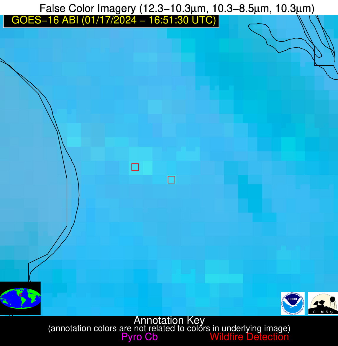
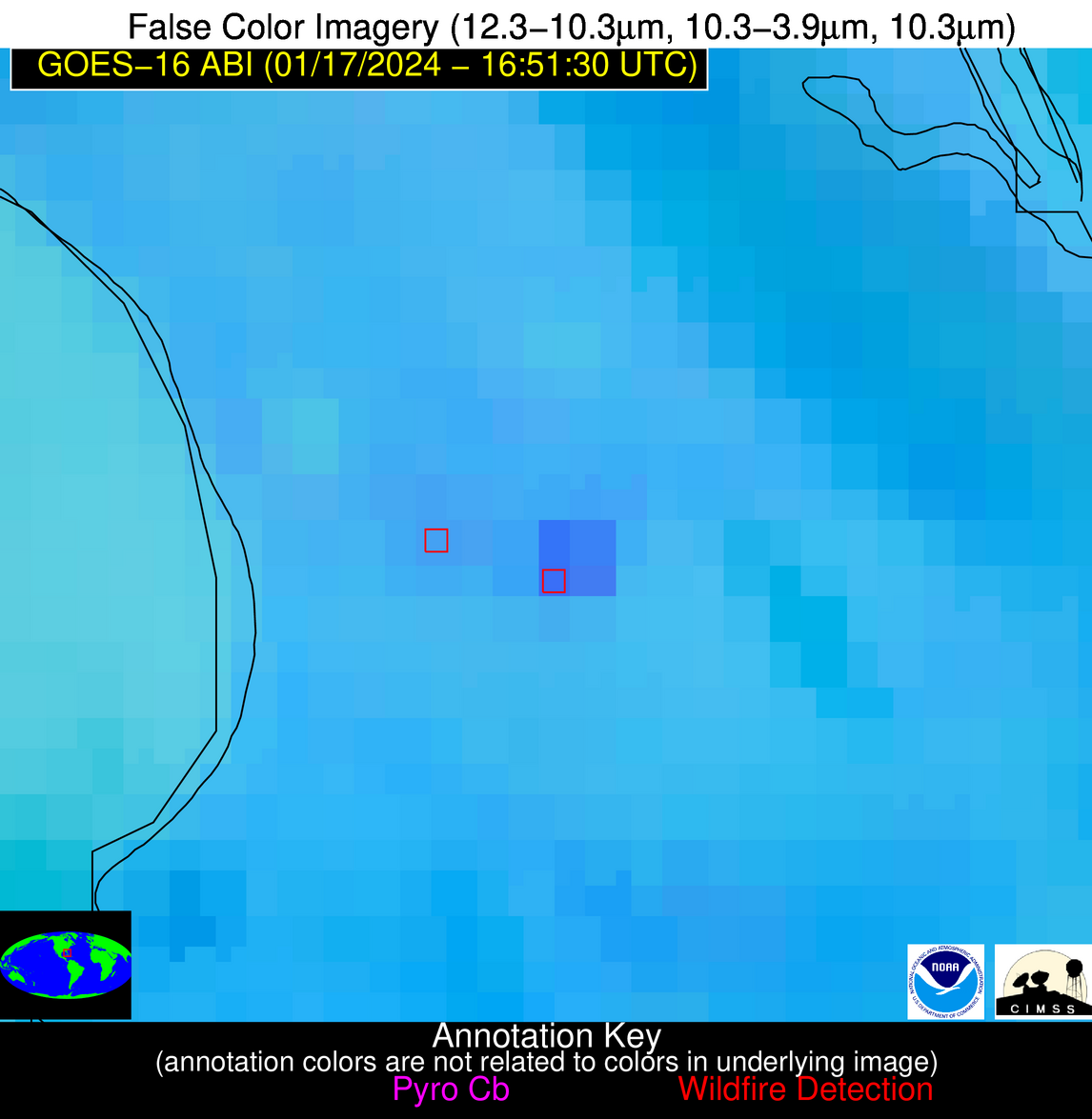
Wildfire Alert Report
| Date: | 2024-01-17 |
|---|---|
| Time: | 16:51:17 |
| Production Date and Time: | 2024-01-17 16:56:04 UTC |
| Primary Instrument: | GOES-16 ABI |
| Wmo Spacecraft Id: | 152 |
| Location/orbit: | GEO |
| L1 File: | OR_ABI-L1b-RadC-M6C14_G16_s20240171651174_e20240171653547_c20240171654010.nc |
| L1 File(s) - Temporal | OR_ABI-L1b-RadC-M6C14_G16_s20240171646174_e20240171648547_c20240171649031.nc |
| Number Of Thermal Anomaly Alerts: | 5 |
Possible Wildfire
| Basic Information | |
|---|---|
| State/Province(s) | LA |
| Country/Countries | USA |
| County/Locality(s) | Natchitoches Parish, LA |
| NWS WFO | Shreveport LA |
| Identification Method | Enhanced Contextual (Clear) |
| Mean Object Date/Time | 2024-01-17 16:52:20UTC |
| Radiative Center (Lat, Lon): | 31.720°, -93.320° |
| Nearby Counties (meeting alert criteria): |
|
| Total Radiative Power Anomaly | n/a |
| Total Radiative Power | 5.60 MW |
| Map: | |
| Additional Information | |
| Alert Status | New Feature |
| Type of Event | Nominal Risk |
| Event Priority Ranking | 4 |
| Maximum Observed BT (3.9 um) | 284.93 K |
| Observed - Background BT (3.9 um) | 4.49 K |
| BT Anomaly (3.9 um) | 2.63 K |
| Maximum Observed - Clear RTM BT (3.9 um) | 10.33 K |
| Maximum Observed BTD (3.9-10/11/12 um) | 9.79 K |
| Observed - Background BTD (3.9-10/11/12 um) | 4.11 K |
| BTD Anomaly (3.9-10/11/12 um) | 4.29 K |
| Similar Pixel Count | 4 |
| BT Time Tendency (3.9 um) | 1.20 K |
| Image Interval | 5.00 minutes |
| Fraction of Surrounding LWIR Pixels that are Colder | 0.76 |
| Fraction of Surrounding Red Channel Pixels that are Brighter | 1.00 |
| Maximum Radiative Power | 5.60 MW |
| Maximum Radiative Power Uncertainty | 0.00 MW |
| Total Radiative Power Uncertainty | 0.00 MW |
| Mean Viewing Angle | 42.00° |
| Mean Solar Zenith Angle | 56.80° |
| Mean Glint Angle | 98.60° |
| Water Fraction | 0.00 |
| Total Pixel Area | 6.00 km2 |
| Latest Satellite Imagery: | |
| View all event imagery » | |
Possible Wildfire
| Basic Information | |
|---|---|
| State/Province(s) | LA |
| Country/Countries | USA |
| County/Locality(s) | Beauregard Parish, LA |
| NWS WFO | Lake Charles LA |
| Identification Method | Enhanced Contextual (Clear) |
| Mean Object Date/Time | 2024-01-17 16:52:20UTC |
| Radiative Center (Lat, Lon): | 30.860°, -93.160° |
| Nearby Counties (meeting alert criteria): |
|
| Total Radiative Power Anomaly | n/a |
| Total Radiative Power | 8.80 MW |
| Map: | |
| Additional Information | |
| Alert Status | New Feature |
| Type of Event | Nominal Risk |
| Event Priority Ranking | 4 |
| Maximum Observed BT (3.9 um) | 289.05 K |
| Observed - Background BT (3.9 um) | 6.84 K |
| BT Anomaly (3.9 um) | 5.07 K |
| Maximum Observed - Clear RTM BT (3.9 um) | 13.82 K |
| Maximum Observed BTD (3.9-10/11/12 um) | 11.85 K |
| Observed - Background BTD (3.9-10/11/12 um) | 5.86 K |
| BTD Anomaly (3.9-10/11/12 um) | 8.81 K |
| Similar Pixel Count | 1 |
| BT Time Tendency (3.9 um) | 3.30 K |
| Image Interval | 5.00 minutes |
| Fraction of Surrounding LWIR Pixels that are Colder | 0.88 |
| Fraction of Surrounding Red Channel Pixels that are Brighter | 0.99 |
| Maximum Radiative Power | 8.80 MW |
| Maximum Radiative Power Uncertainty | 0.00 MW |
| Total Radiative Power Uncertainty | 0.00 MW |
| Mean Viewing Angle | 41.10° |
| Mean Solar Zenith Angle | 55.90° |
| Mean Glint Angle | 96.90° |
| Water Fraction | 0.00 |
| Total Pixel Area | 5.90 km2 |
| Latest Satellite Imagery: | |
| View all event imagery » | |
Possible Wildfire
| Basic Information | |
|---|---|
| State/Province(s) | TX |
| Country/Countries | USA |
| County/Locality(s) | Bell County, TX |
| NWS WFO | Fort Worth TX |
| Identification Method | Enhanced Contextual (Clear) |
| Mean Object Date/Time | 2024-01-17 16:52:20UTC |
| Radiative Center (Lat, Lon): | 30.900°, -97.340° |
| Nearby Counties (meeting alert criteria): |
|
| Total Radiative Power Anomaly | n/a |
| Total Radiative Power | 9.79 MW |
| Map: | |
| Additional Information | |
| Alert Status | New Feature |
| Type of Event | Nominal Risk |
| Event Priority Ranking | 4 |
| Maximum Observed BT (3.9 um) | 292.73 K |
| Observed - Background BT (3.9 um) | 5.38 K |
| BT Anomaly (3.9 um) | 4.45 K |
| Maximum Observed - Clear RTM BT (3.9 um) | 16.02 K |
| Maximum Observed BTD (3.9-10/11/12 um) | 13.33 K |
| Observed - Background BTD (3.9-10/11/12 um) | 4.88 K |
| BTD Anomaly (3.9-10/11/12 um) | 5.12 K |
| Similar Pixel Count | 7 |
| BT Time Tendency (3.9 um) | 1.60 K |
| Image Interval | 5.00 minutes |
| Fraction of Surrounding LWIR Pixels that are Colder | 0.76 |
| Fraction of Surrounding Red Channel Pixels that are Brighter | 1.00 |
| Maximum Radiative Power | 9.79 MW |
| Maximum Radiative Power Uncertainty | 0.00 MW |
| Total Radiative Power Uncertainty | 0.00 MW |
| Mean Viewing Angle | 43.50° |
| Mean Solar Zenith Angle | 57.70° |
| Mean Glint Angle | 100.80° |
| Water Fraction | 0.00 |
| Total Pixel Area | 6.30 km2 |
| Latest Satellite Imagery: | |
| View all event imagery » | |
Possible Wildfire
| Basic Information | |
|---|---|
| State/Province(s) | TX |
| Country/Countries | USA |
| County/Locality(s) | Gillespie County, TX |
| NWS WFO | Austin/San Antonio TX |
| Identification Method | Enhanced Contextual (Clear) |
| Mean Object Date/Time | 2024-01-17 16:52:49UTC |
| Radiative Center (Lat, Lon): | 30.320°, -99.110° |
| Nearby Counties (meeting alert criteria): |
|
| Total Radiative Power Anomaly | n/a |
| Total Radiative Power | 5.80 MW |
| Map: | |
| Additional Information | |
| Alert Status | New Feature |
| Type of Event | Nominal Risk |
| Event Priority Ranking | 4 |
| Maximum Observed BT (3.9 um) | 290.86 K |
| Observed - Background BT (3.9 um) | 3.76 K |
| BT Anomaly (3.9 um) | 4.06 K |
| Maximum Observed - Clear RTM BT (3.9 um) | 13.35 K |
| Maximum Observed BTD (3.9-10/11/12 um) | 12.06 K |
| Observed - Background BTD (3.9-10/11/12 um) | 3.05 K |
| BTD Anomaly (3.9-10/11/12 um) | 4.20 K |
| Similar Pixel Count | 25 |
| BT Time Tendency (3.9 um) | 1.00 K |
| Image Interval | 5.00 minutes |
| Fraction of Surrounding LWIR Pixels that are Colder | 0.92 |
| Fraction of Surrounding Red Channel Pixels that are Brighter | 1.00 |
| Maximum Radiative Power | 5.80 MW |
| Maximum Radiative Power Uncertainty | 0.00 MW |
| Total Radiative Power Uncertainty | 0.00 MW |
| Mean Viewing Angle | 44.10° |
| Mean Solar Zenith Angle | 58.00° |
| Mean Glint Angle | 101.60° |
| Water Fraction | 0.00 |
| Total Pixel Area | 6.40 km2 |
| Latest Satellite Imagery: | |
| View all event imagery » | |
Possible Wildfire
| Basic Information | |
|---|---|
| State/Province(s) | FL |
| Country/Countries | USA |
| County/Locality(s) | Martin County, FL |
| NWS WFO | Melbourne FL |
| Identification Method | Enhanced Contextual (Clear) |
| Mean Object Date/Time | 2024-01-17 16:52:52UTC |
| Radiative Center (Lat, Lon): | 26.970°, -80.450° |
| Nearby Counties (meeting alert criteria): |
|
| Total Radiative Power Anomaly | n/a |
| Total Radiative Power | 84.12 MW |
| Map: | |
| Additional Information | |
| Alert Status | New Feature |
| Type of Event | Nominal Risk |
| Event Priority Ranking | 4 |
| Maximum Observed BT (3.9 um) | 306.30 K |
| Observed - Background BT (3.9 um) | 10.69 K |
| BT Anomaly (3.9 um) | 9.56 K |
| Maximum Observed - Clear RTM BT (3.9 um) | 15.11 K |
| Maximum Observed BTD (3.9-10/11/12 um) | 18.24 K |
| Observed - Background BTD (3.9-10/11/12 um) | 9.77 K |
| BTD Anomaly (3.9-10/11/12 um) | 11.41 K |
| Similar Pixel Count | 4 |
| BT Time Tendency (3.9 um) | 8.90 K |
| Image Interval | 5.00 minutes |
| Fraction of Surrounding LWIR Pixels that are Colder | 0.96 |
| Fraction of Surrounding Red Channel Pixels that are Brighter | 0.32 |
| Maximum Radiative Power | 24.13 MW |
| Maximum Radiative Power Uncertainty | 0.00 MW |
| Total Radiative Power Uncertainty | 0.00 MW |
| Mean Viewing Angle | 32.20° |
| Mean Solar Zenith Angle | 48.60° |
| Mean Glint Angle | 80.80° |
| Water Fraction | 0.00 |
| Total Pixel Area | 20.00 km2 |
| Latest Satellite Imagery: | |
| View all event imagery » | |
