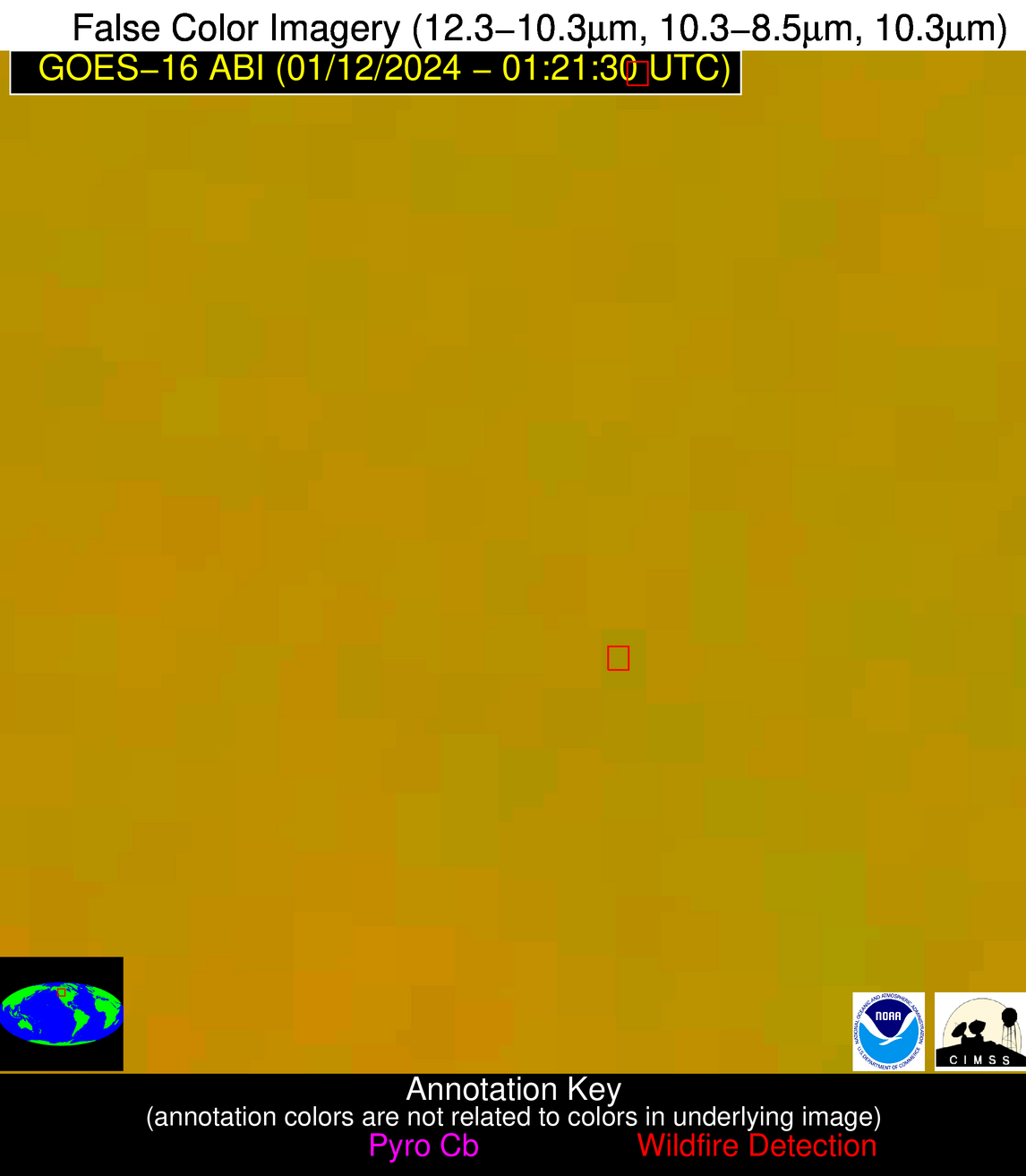
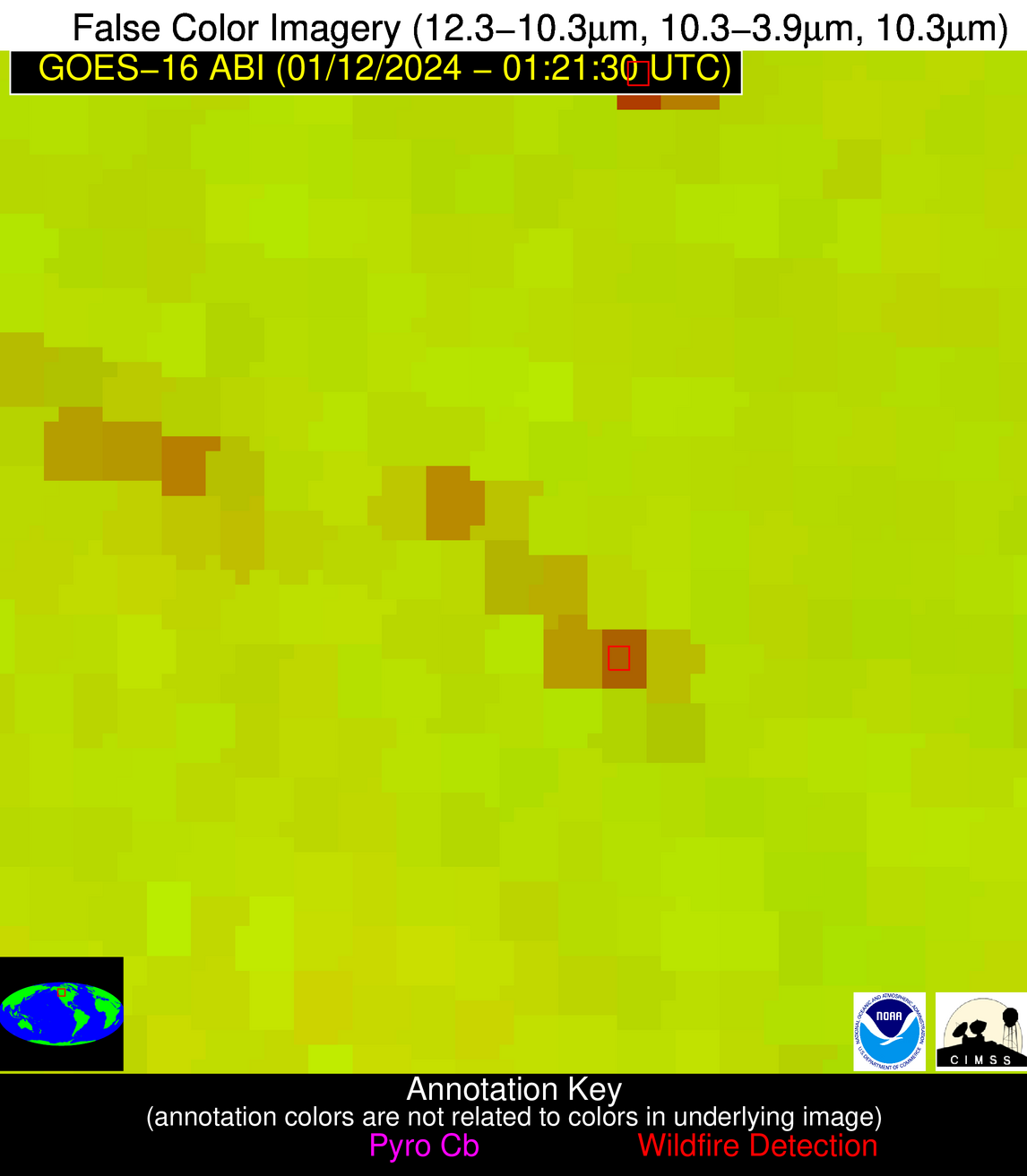
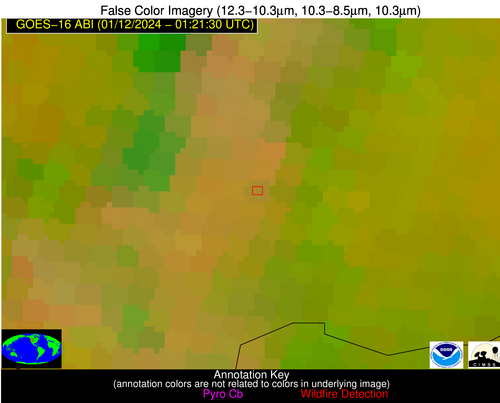
Wildfire Alert Report
| Date: | 2024-01-12 |
|---|---|
| Time: | 01:21:17 |
| Production Date and Time: | 2024-01-12 01:25:43 UTC |
| Primary Instrument: | GOES-16 ABI |
| Wmo Spacecraft Id: | 152 |
| Location/orbit: | GEO |
| L1 File: | OR_ABI-L1b-RadC-M6C14_G16_s20240120121171_e20240120123544_c20240120124031.nc |
| L1 File(s) - Temporal | OR_ABI-L1b-RadC-M6C14_G16_s20240120116171_e20240120118544_c20240120119023.nc |
| Number Of Thermal Anomaly Alerts: | 2 |
Possible Wildfire
| Basic Information | |
|---|---|
| State/Province(s) | Unknown |
| Country/Countries | Canada |
| County/Locality(s) | Canada |
| NWS WFO | N/A |
| Identification Method | Enhanced Contextual (Bias) |
| Mean Object Date/Time | 2024-01-12 01:21:19UTC |
| Radiative Center (Lat, Lon): | 52.290000°, -115.570000° |
| Nearby Counties (meeting alert criteria): |
|
| Total Radiative Power Anomaly | n/a |
| Total Radiative Power | 30.97 MW |
| Map: | |
| Additional Information | |
| Alert Status | New Feature |
| Type of Event | Nominal Risk |
| Event Priority Ranking | 4 |
| Maximum Observed BT (3.9 um) | 252.48 K |
| Observed - Background BT (3.9 um) | 17.05 K |
| BT Anomaly (3.9 um) | 10.14 K |
| Maximum Observed - Clear RTM BT (3.9 um) | 15.70 K |
| Maximum Observed BTD (3.9-10/11/12 um) | 17.53 K |
| Observed - Background BTD (3.9-10/11/12 um) | 17.04 K |
| BTD Anomaly (3.9-10/11/12 um) | 12.13 K |
| Similar Pixel Count | 0 |
| BT Time Tendency (3.9 um) | 4.00 K |
| Image Interval | 5.00 minutes |
| Fraction of Surrounding LWIR Pixels that are Colder | 0.50 |
| Fraction of Surrounding Red Channel Pixels that are Brighter | 1.00 |
| Maximum Radiative Power | 22.50 MW |
| Maximum Radiative Power Uncertainty | 0.00 MW |
| Total Radiative Power Uncertainty | 0.00 MW |
| Mean Viewing Angle | 71.10° |
| Mean Solar Zenith Angle | 102.60° |
| Mean Glint Angle | 68.60° |
| Water Fraction | 0.00 |
| Total Pixel Area | 107.50 km2 |
| Latest Satellite Imagery: | |
| View all event imagery » | |
Possible Wildfire
| Basic Information | |
|---|---|
| State/Province(s) | MT |
| Country/Countries | USA |
| County/Locality(s) | Beaverhead County, MT |
| NWS WFO | Great Falls MT |
| Identification Method | Enhanced Contextual (Bias) |
| Mean Object Date/Time | 2024-01-12 01:21:19UTC |
| Radiative Center (Lat, Lon): | 44.770000°, -112.320000° |
| Nearby Counties (meeting alert criteria): |
|
| Total Radiative Power Anomaly | n/a |
| Total Radiative Power | 49.21 MW |
| Map: | |
| Additional Information | |
| Alert Status | New Feature |
| Type of Event | Nominal Risk |
| Event Priority Ranking | 4 |
| Maximum Observed BT (3.9 um) | 273.82 K |
| Observed - Background BT (3.9 um) | 20.74 K |
| BT Anomaly (3.9 um) | 18.96 K |
| Maximum Observed - Clear RTM BT (3.9 um) | 20.68 K |
| Maximum Observed BTD (3.9-10/11/12 um) | 22.74 K |
| Observed - Background BTD (3.9-10/11/12 um) | 21.22 K |
| BTD Anomaly (3.9-10/11/12 um) | 28.80 K |
| Similar Pixel Count | 0 |
| BT Time Tendency (3.9 um) | 19.30 K |
| Image Interval | 5.00 minutes |
| Fraction of Surrounding LWIR Pixels that are Colder | 0.83 |
| Fraction of Surrounding Red Channel Pixels that are Brighter | 1.00 |
| Maximum Radiative Power | 49.21 MW |
| Maximum Radiative Power Uncertainty | 0.00 MW |
| Total Radiative Power Uncertainty | 0.00 MW |
| Mean Viewing Angle | 63.70° |
| Mean Solar Zenith Angle | 102.30° |
| Mean Glint Angle | 70.80° |
| Water Fraction | 0.00 |
| Total Pixel Area | 53.90 km2 |
| Latest Satellite Imagery: | |
| View all event imagery » | |


